
Dirt Bike Trails
Near Mountain View, New Mexico
Explore All Dirt Bike Trails Near Mountain View, New Mexico
Dirt Bike Trails Near Mountain View, New Mexico
Discover the best dirt bike trails near you. Browse trail maps, check difficulty ratings, and find your next adventure — whether you're looking for a quick ride or an all-day expedition.
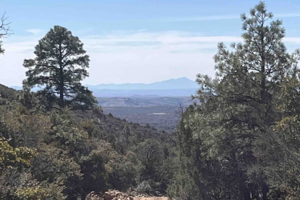
FS 828
This is an easy road that climbs up from the juniper woodlands to ponderosa forest. It offers Continental Divide Trail access--in fact, the CDT is on the road for a while. There are several campsites at the start of the road. A corral at the end of the road looks like it may still be in use. Look ou...
Learn more about FS 828
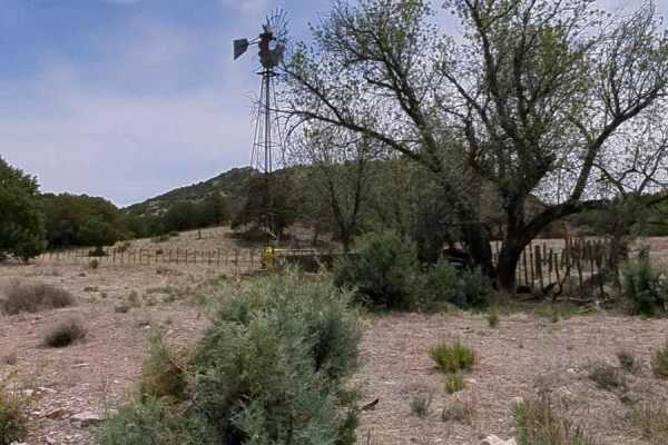
Knight Canyon Road to Mill Canyon Road
This 7.3 mile trail begins at FS 861 (Knight Canyon Road) and US 90. The trail begins on a 2-track, full size sandy dirt road that climbs gently up to the first gate. You'll continue along Knight Canyon as it winds through a wide sandy wash. Along the way, you will pass a windmill and an incredibly ...
Learn more about Knight Canyon Road to Mill Canyon Road
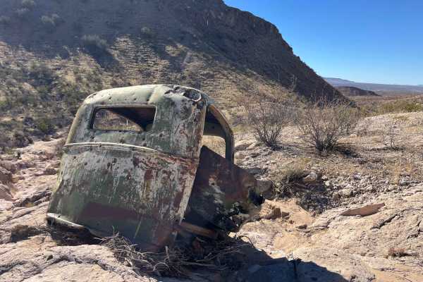
Sparky’s Loop
Can be done in either direction. If done counterclockwise, the route starts in a wash. Towards the head of the wash, it gets narrower and rockier. There are some 24-inch ledges and large rocks. A short, steep climb brings you up on top of a mesa. The mesa top portion of the trail traverses several n...
Learn more about Sparky’s Loop
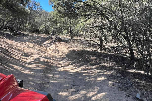
FS 4033 F Continental Divide Trail access
This trail starts off relatively easy but as it climbs toward the Continental Divide Trail it becomes more narrow and the ruts are deeper. There is a place to turn around at the dead end. The trees overhang and crowd the trail and prevent full-size vehicle access.
Learn more about FS 4033 F Continental Divide Trail access
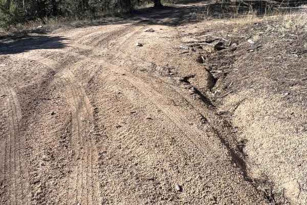
FS 4090 B Evacuation Route
This short trail marked as FS 4090 B is used as the emergency evacuation route for the Burro Mountain Homestead. The Burro Mountain Homestead is the former Summer Home Ranch and Stagecoach Stop built in the 1880s. This trail is sandy and has the erosion issues that many trails in the area have. It ...
Learn more about FS 4090 B Evacuation Route
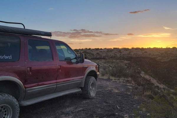
Border to Las Cruces
This trail starts on Highway 9 in New Mexico. This Highway parallels the border wall for a good while. Once you turn off onto the trail, you have the opportunity to air down. Though the trail is not very technical and is pretty well maintained, there are occasional pockets of silt you must watch for...
Learn more about Border to Las Cruces
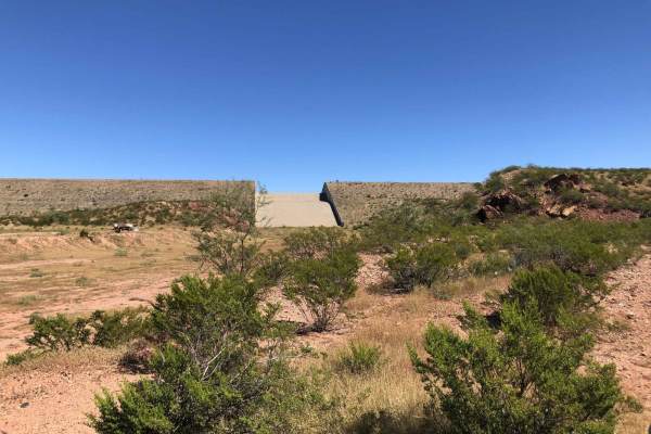
Not Worth It
Not Worth It starts just below the water dam but quickly changes into a narrow canyon filled with boulders and an increasing elevation. These scattered boulders get bigger and more frequent as you continue to the top. The last obstacle is a 3-4 foot ledge with several challenging boulders below that...
Learn more about Not Worth It
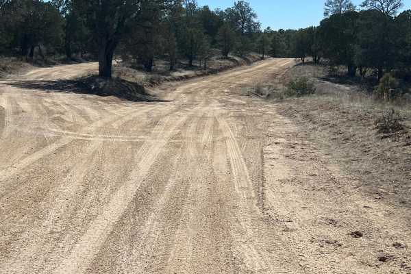
FS 91 Old Tyrone Road
This route follows the Old Tyrone Road which was primarily used to go into the Burro Mountains. The mine changed that access. Now, the main road is Tyrone Thompson Road. The old townsite of Tyrone, at the north end of this road, was also consumed by the massive operation of the Tyrone Mine. The ro...
Learn more about FS 91 Old Tyrone Road
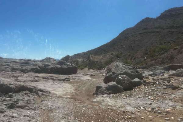
West Mesa Loves Loop
Some light sandy two-track slowly weaves into harder and deeper sand in a rocky canyon that loops over to another canyon with great views and awesome great views of the mesa from Aiden Hills OHV and picacho peak, box canyon, and box canyon dam. This route is great for a scenic afternoon ride and gre...
Learn more about West Mesa Loves Loop
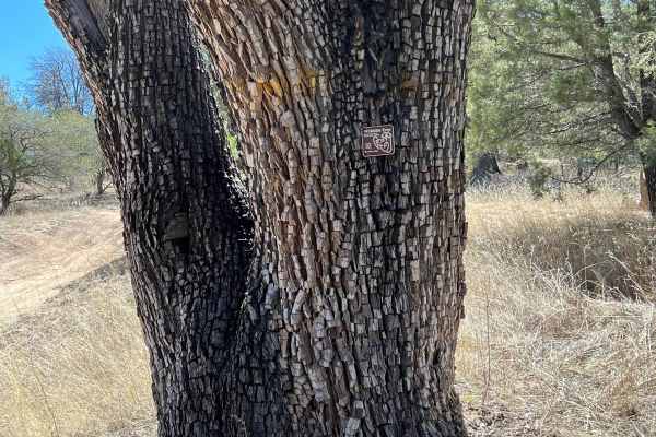
FS 4248 Y Alligator Juniper Jungle
This route begins from FS 4090 C and dead ends at the Burro Mountain Homestead Gate 7. That gate is locked. The Alligator Juniper that line the road is hundreds and hundreds of years old. These massive trees only grow in northern Mexico and the Southwestern US. The Alligator Juniper also called t...
Learn more about FS 4248 Y Alligator Juniper Jungle
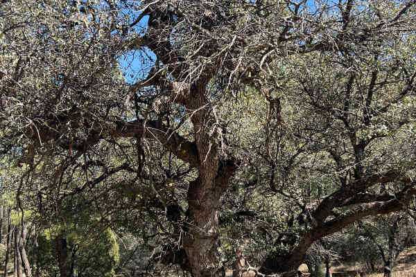
FS 827 Deadman
This trail is one of the few in the area that is wider and has less chance of overhanging branches. The erosion ruts can change the complexity of the route in wet weather. This trail ends at the enormous Tyrone mine boundary. There are a few majestic Alligator Juniper pine trees along the route.
Learn more about FS 827 Deadman
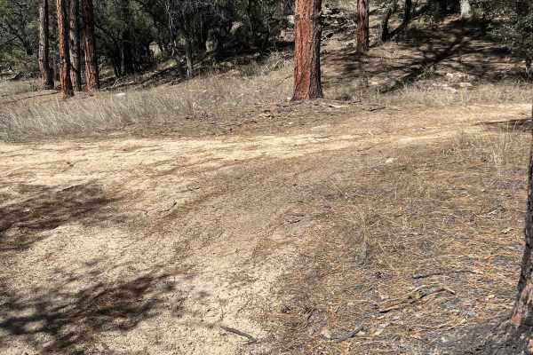
FS 914
This is a sandy trail that provides access to the fun and challenging FS 915 Boundary Bowl and connects to FS 827. It travels on the southwestern edge of the enormous Tyrone Mine. Like many of the trails in this area, erosions ruts, and overhanging trees can create hazards.
Learn more about FS 914
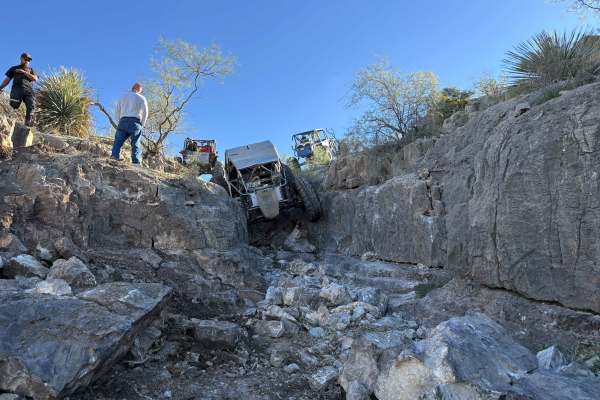
Hood Ornament
Hood Ornament is a relentless climb that tests both driver skill and vehicle capability from the moment your tires leave the trailhead. The route quickly turns upward into a series of steep, unforgiving rock faces that demand careful line choice and steady throttle control. As you gain elevation, th...
Learn more about Hood Ornament
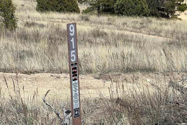
FS 915 Boundary Bowl
This is a fun area to rest, play and test your skills and your rig. There are a number of small hills of varying degrees of difficulty. The area is bowl-shaped and allows you to watch your friends navigate the terrain. It is also sheltered and can be an excellent place for a picnic or snack.
Learn more about FS 915 Boundary Bowl
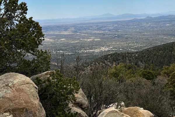
FS 836 Jacks Peak Road
FS 836 leads to Jacks Peak which is the highest point in the area at 7966 feet elevation. Being the highest point in the area, Jacks Peak has numerous communication towers. This road is rough, rocky, and seems longer than it is as you bounce along. Be aware of the numerous worker vehicles of those t...
Learn more about FS 836 Jacks Peak Road
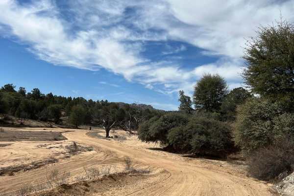
Upper Gold Gulch
This is an easy, sandy route through gorgeous terrain. The shoulders of the road are deep sand and should be avoided. The rocks, Alligator Juniper, Pinon Trees, Cholla Cactus and Palm Yuccas create a spectacular view of converging life zones. In Merriam's Life Zones, this area has the Lower Sonoran,...
Learn more about Upper Gold Gulch
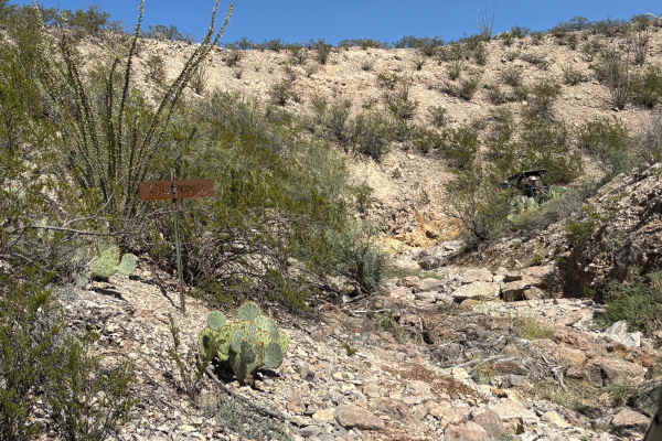
Distroya
Distroya is a brutal, nonstop uphill rockcrawling trail that immediately throws you into a relentless boulder garden filled with large, loose, jagged rocks. The terrain constantly shifts under tire, with off-camber sections that test balance and nerve as much as traction. Precise tire placement and ...
Learn more about Distroya
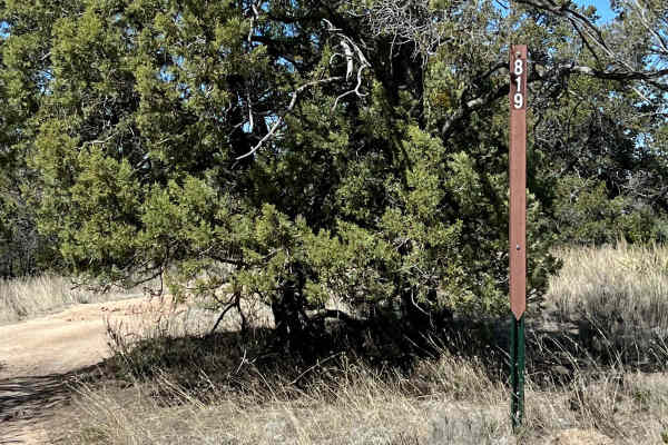
FS 911 West
This route starts from Tyrone Thompson Road as FS 819 Shrine Mine. A turn east is FS 911. It leads to a beautiful picnic spot along a small stream. It is narrow due to overhanging trees. Erosion has caused deep ruts in the sides of the trail and ruts take over the trail at times. Sliding into a rut ...
Learn more about FS 911 West
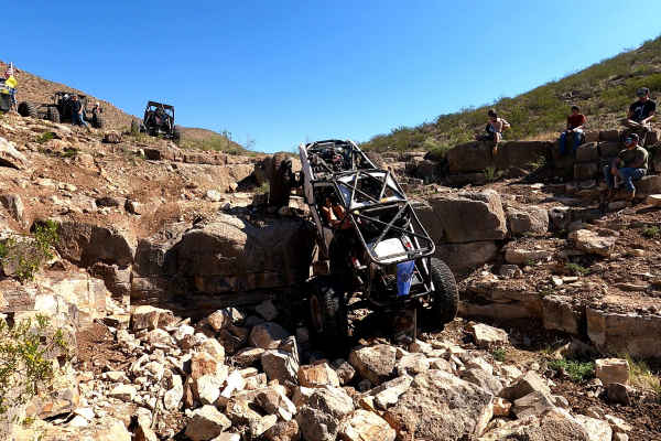
Godzilla's Throne
Godzilla’s Throne is a true finale built for drivers who still have something left to prove. It deviates directly off Godzilla and quickly rejoins. The first test is an imposing 8 foot vertical waterfall that demands full commitment. Multiple line choices exist, ranging from a technical crawl with p...
Learn more about Godzilla's Throne
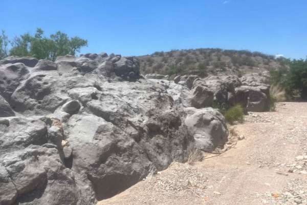
Faulkner Gap
This is an easy fast route through canyons and sweeping roads that cut through BLM-leased property so please practice the leave-no-trace policy and close all gates as cattle are out and roaming in these areas. Cell phone service is limited! There is some steep terrain but there are ways around it. p...
Learn more about Faulkner Gap
ATV trails near Mountain View, New Mexico
Explore ATV-friendly trails near you. These trails are accessible for vehicles up to 50 inches wide, perfect for ATVs and smaller off-road machines.
FS 828
This is an easy road that climbs up from the juniper woodlands to ponderosa forest. It offers Continental Divide Trail access--in fact, the CDT is on the road for a while. There are several campsites at the start of the road. A corral at the end of the road looks like it may still be in use. Look ou...
Learn more about FS 828
Knight Canyon Road to Mill Canyon Road
This 7.3 mile trail begins at FS 861 (Knight Canyon Road) and US 90. The trail begins on a 2-track, full size sandy dirt road that climbs gently up to the first gate. You'll continue along Knight Canyon as it winds through a wide sandy wash. Along the way, you will pass a windmill and an incredibly ...
Learn more about Knight Canyon Road to Mill Canyon Road
Sparky’s Loop
Can be done in either direction. If done counterclockwise, the route starts in a wash. Towards the head of the wash, it gets narrower and rockier. There are some 24-inch ledges and large rocks. A short, steep climb brings you up on top of a mesa. The mesa top portion of the trail traverses several n...
Learn more about Sparky’s Loop
FS 4033 F Continental Divide Trail access
This trail starts off relatively easy but as it climbs toward the Continental Divide Trail it becomes more narrow and the ruts are deeper. There is a place to turn around at the dead end. The trees overhang and crowd the trail and prevent full-size vehicle access.
Learn more about FS 4033 F Continental Divide Trail access
UTV/side-by-side trails near Mountain View, New Mexico
Find UTV and side-by-side trails near you. These trails accommodate vehicles up to 60 inches wide, ideal for UTVs, side-by-sides, and wider off-road rigs.
FS 828
This is an easy road that climbs up from the juniper woodlands to ponderosa forest. It offers Continental Divide Trail access--in fact, the CDT is on the road for a while. There are several campsites at the start of the road. A corral at the end of the road looks like it may still be in use. Look ou...
Learn more about FS 828
Knight Canyon Road to Mill Canyon Road
This 7.3 mile trail begins at FS 861 (Knight Canyon Road) and US 90. The trail begins on a 2-track, full size sandy dirt road that climbs gently up to the first gate. You'll continue along Knight Canyon as it winds through a wide sandy wash. Along the way, you will pass a windmill and an incredibly ...
Learn more about Knight Canyon Road to Mill Canyon Road
Sparky’s Loop
Can be done in either direction. If done counterclockwise, the route starts in a wash. Towards the head of the wash, it gets narrower and rockier. There are some 24-inch ledges and large rocks. A short, steep climb brings you up on top of a mesa. The mesa top portion of the trail traverses several n...
Learn more about Sparky’s Loop
FS 4033 F Continental Divide Trail access
This trail starts off relatively easy but as it climbs toward the Continental Divide Trail it becomes more narrow and the ruts are deeper. There is a place to turn around at the dead end. The trees overhang and crowd the trail and prevent full-size vehicle access.
Learn more about FS 4033 F Continental Divide Trail access
The onX Offroad Difference
onX Offroad combines trail photos, descriptions, difficulty ratings, width restrictions, seasonality, and more in a user-friendly interface. Available on all devices, with offline access and full compatibility with CarPlay and Android Auto. Discover what you're missing today!
Open Trail Map