
Dirt Bike Trails
Near Mallory, West Virginia
Explore All Dirt Bike Trails Near Mallory, West Virginia
Dirt Bike Trails Near Mallory, West Virginia
Discover the best dirt bike trails near you. Browse trail maps, check difficulty ratings, and find your next adventure — whether you're looking for a quick ride or an all-day expedition.
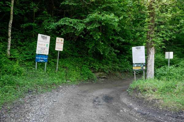
RH 10
At 7.3 miles, RH 10 is a long, easy trail that serves as one of the main access routes from the Rock House staging area--expect to see other riders. The trail follows a pipeline through scenic, lush forest with wide sections, shallow ruts, switchbacks, puddles, and occasional minor rock or uneven gr...
Learn more about RH 10
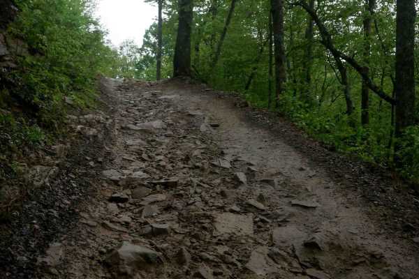
RH 40
From its north end, RH 40 starts as a wide, smooth trail featuring waterbars, light rutting, and a shelf-like path with loose rock, most of which is pushed to the sides. The trail climbs semi-steeply with a series of large, manageable hairpin turns before transitioning into a slightly steeper and mo...
Learn more about RH 40
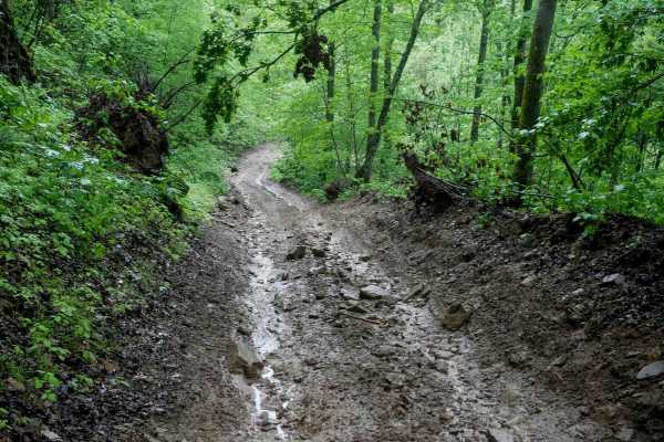
RH 28
RH 28 is a short, steep connector trail--less than half a mile--linking segments of RH 40. It follows a narrow, shelf-like path with tight switchbacks and primarily descends from south to north. The trail features pronounced ruts, loose rock, and natural drop-offs caused by uneven surfaces, making t...
Learn more about RH 28
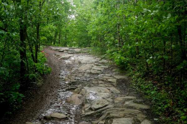
RH 29
RH 29 is a more challenging trail best suited for intermediate riders, and can be even more difficult in wet conditions. Starting from the north, it immediately presents embedded rock layers forming 6-inch ledges along a narrow path, followed by loose rock as it curves across a hillside. The trail n...
Learn more about RH 29
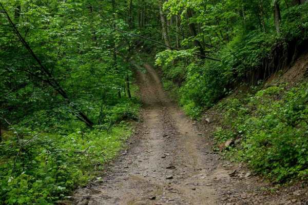
RH 49
RH 49 is a short connector trail, less than a mile in length, beginning at its intersection with RH 50. It features a steady, shelf-like climb with loose rock, winding around the mountainside toward RH 23, a little bit off camber and rutted at times. The route includes steep, tight switchbacks befor...
Learn more about RH 49
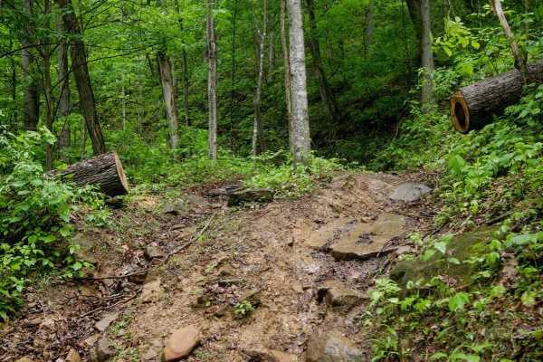
RH 130
RH 130 is a 1.4-mile dirt bike-only trail that parallels RH 50, offering a flowy, fast ride with a few technical challenges. The trail features loamy soil with embedded rocks and roots, traversing across a hillside while weaving lightly through trees. It's mostly flat with minimal elevation gain, ke...
Learn more about RH 130
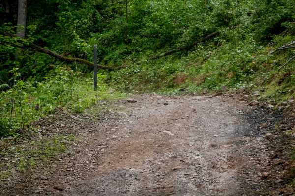
RH 23
RH 23 is a wide shelf trail with good visibility, minor loose rock, and occasional waterbars. It begins at RH 49 and follows a mostly flat route for about a mile, curving around the hillsides before passing through intersections with RH 40 and RH 29. From there, it transitions into a steep descent d...
Learn more about RH 23
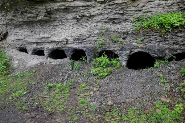
RH 16
RH 16 is a 5-mile trail offering a smooth, easy ride with a mix of wide two-lane sections and narrower one-lane segments. The route is gradual and winds through scenic terrain, passing moss-covered rock walls and small cave formations, as well as some oil and gas infrastructure. With only minor loos...
Learn more about RH 16
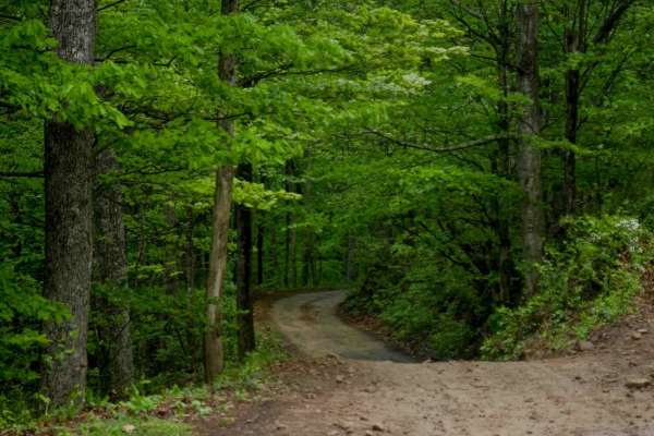
RH 50
RH 50 is a 4-mile trail that is shelfy and one-lane wide, offering good visibility and scenic views of lush hillsides. Minor embedded rocks are consistent throughout the route, adding a slight challenge without being overwhelming. The trail is mostly gradual with a few short climbing and descending ...
Learn more about RH 50
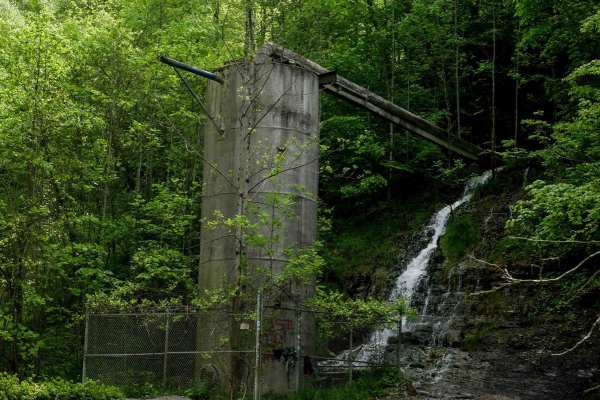
RH 33
RH 33 begins at its eastern junction with RH 10 and winds through lush forest along a ravine, in the lower elevations of these hills. Riders can expect minor embedded rocks and a gradual climb featuring a few easy switchbacks. The trail narrows to one-lane width in spots, along a dug-out bank lined ...
Learn more about RH 33
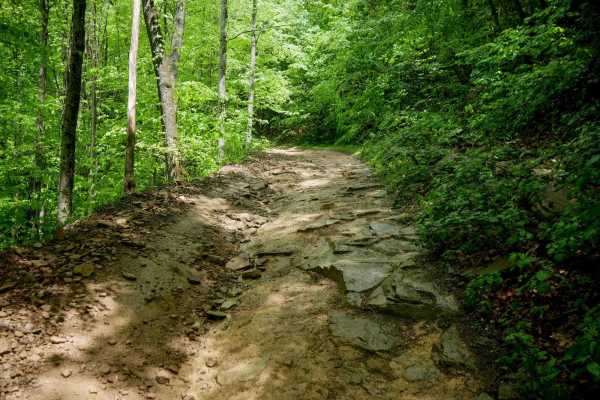
RH 18
RH 18 is a 1.2-mile trail with a mostly gradual ascent from the west entrance to the east entrance, featuring one big hairpin turn halfway through. The trail offers a scenic forest setting with small waterfalls and a lush leaf canopy. While the terrain is generally easy, it can become slick when wet...
Learn more about RH 18
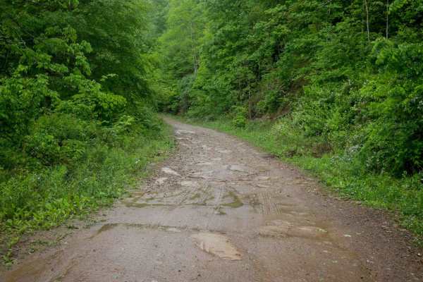
RH 11
RH 11 is a 4-mile trail that serves as a smooth, scenic access corridor through the middle portion of the Rock House system. The route is wide and mostly easy, with minor embedded rock, small ruts, and loose rock scattered throughout. It winds past striking rock walls and includes a stretch of tight...
Learn more about RH 11
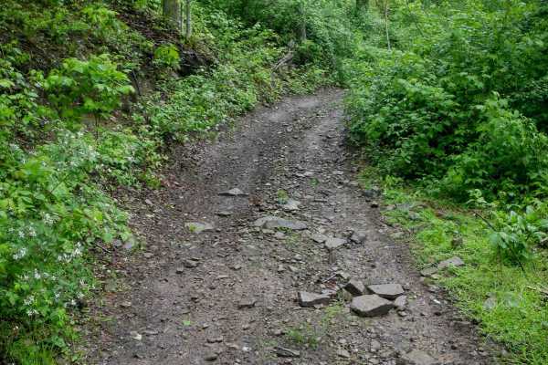
RH 125
RH 125 is a 1-mile dirt bike-only trail that begins along a wide, shelf-like hillside path with loose and embedded rock layers on steep slopes. The trail follows a rutted and uneven pipeline corridor, with some troughing in sections, and weaves along the hillside with a gradual overall grade. While ...
Learn more about RH 125
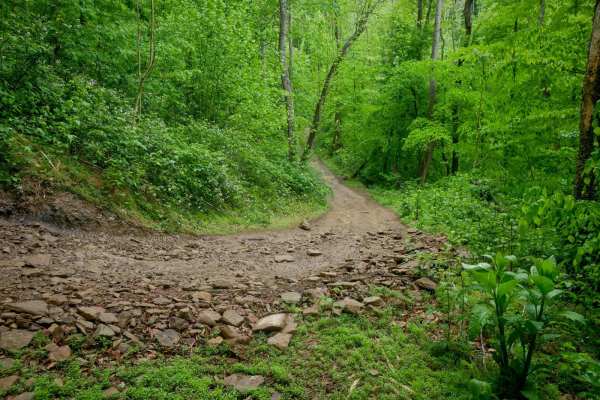
RH 84
RH 84 is a moderately challenging trail that begins with a narrow, zigzagging climb up a series of switchbacks along a shelf cut into the mountainside. As the ascent progresses, the switchbacks become steeper and more rutted, with deep ruts, loose rock, and potentially slick conditions. Near the top...
Learn more about RH 84
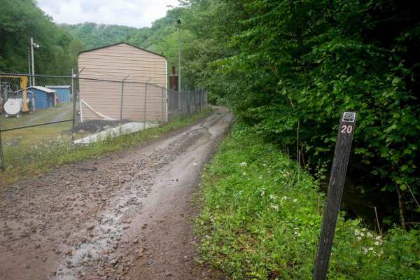
RH 20
RH 20 is a 2.6-mile trail that begins near some utility buildings and fencing under powerlines and climbs the mountainside via a couple of wide switchbacks. It transitions into a meandering, shelf-like path along the hillside, featuring scenic rock cliffs built into the terrain. The trail surface in...
Learn more about RH 20
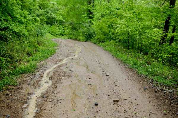
RH 14
RH 14 is a 2.7-mile trail that winds through lush, jungle-like terrain with a super curvy and gradual layout. The trail features gentle rolling hills, minor rock and ruts, and a mix of wider and narrower segments, making it easy and enjoyable for all skill levels. It's just a fun and easy addition t...
Learn more about RH 14
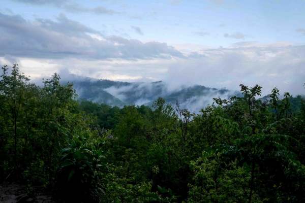
RH 15
RH 15 is a 4.4-mile easy access corridor that serves as a gradual entry or exit from the Rock House Trail System to State Highway 80. The route features a series of wide, shallow switchbacks with minor rocks and ruts, making for a smooth and curvy descent. Ideal for riders of all skill levels, RH 15...
Learn more about RH 15
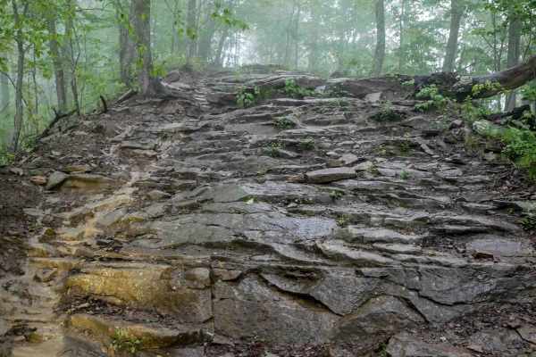
RH 151
RH 151 is a 0.7-mile intermediate dirt bike trail that begins with embedded rock layers forming 6-inch to 1-foot ledges along a wide, shelfy path on the hillside. While sections of the trail are fast, flowy, and relatively easy, riders will also encounter moderate rock obstacles, including wide ledg...
Learn more about RH 151
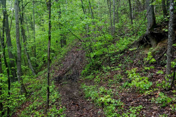
RH 197
RH 197 is a moderately easy single-track trail that traverses a shelf along the hillside, offering a scenic and semi-steep ride through lush forest. Acting as a useful bailout route from RH 199 before the most technical sections, RH 197 is mostly mellow with a few steeper spots. The trail surface in...
Learn more about RH 197
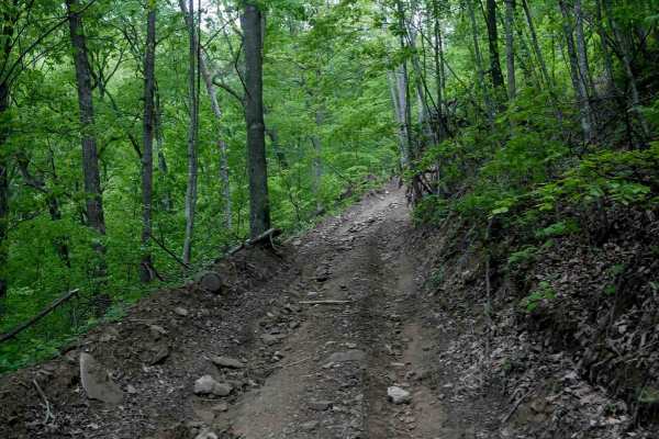
RH 95
RH 95 is a 0.9-mile advanced trail designed for highly skilled riders. The south end of the trail begins with a steep, rocky climb, featuring large loose rocks that fill the ruts and a challenging off-camber ascent. Riders will need to maintain momentum and traction, especially in wet conditions, as...
Learn more about RH 95
ATV trails near Mallory, West Virginia
Explore ATV-friendly trails near you. These trails are accessible for vehicles up to 50 inches wide, perfect for ATVs and smaller off-road machines.
RH 10
At 7.3 miles, RH 10 is a long, easy trail that serves as one of the main access routes from the Rock House staging area--expect to see other riders. The trail follows a pipeline through scenic, lush forest with wide sections, shallow ruts, switchbacks, puddles, and occasional minor rock or uneven gr...
Learn more about RH 10
RH 40
From its north end, RH 40 starts as a wide, smooth trail featuring waterbars, light rutting, and a shelf-like path with loose rock, most of which is pushed to the sides. The trail climbs semi-steeply with a series of large, manageable hairpin turns before transitioning into a slightly steeper and mo...
Learn more about RH 40
RH 28
RH 28 is a short, steep connector trail--less than half a mile--linking segments of RH 40. It follows a narrow, shelf-like path with tight switchbacks and primarily descends from south to north. The trail features pronounced ruts, loose rock, and natural drop-offs caused by uneven surfaces, making t...
Learn more about RH 28
RH 29
RH 29 is a more challenging trail best suited for intermediate riders, and can be even more difficult in wet conditions. Starting from the north, it immediately presents embedded rock layers forming 6-inch ledges along a narrow path, followed by loose rock as it curves across a hillside. The trail n...
Learn more about RH 29
UTV/side-by-side trails near Mallory, West Virginia
Find UTV and side-by-side trails near you. These trails accommodate vehicles up to 60 inches wide, ideal for UTVs, side-by-sides, and wider off-road rigs.
RH 10
At 7.3 miles, RH 10 is a long, easy trail that serves as one of the main access routes from the Rock House staging area--expect to see other riders. The trail follows a pipeline through scenic, lush forest with wide sections, shallow ruts, switchbacks, puddles, and occasional minor rock or uneven gr...
Learn more about RH 10
RH 40
From its north end, RH 40 starts as a wide, smooth trail featuring waterbars, light rutting, and a shelf-like path with loose rock, most of which is pushed to the sides. The trail climbs semi-steeply with a series of large, manageable hairpin turns before transitioning into a slightly steeper and mo...
Learn more about RH 40
RH 28
RH 28 is a short, steep connector trail--less than half a mile--linking segments of RH 40. It follows a narrow, shelf-like path with tight switchbacks and primarily descends from south to north. The trail features pronounced ruts, loose rock, and natural drop-offs caused by uneven surfaces, making t...
Learn more about RH 28
RH 29
RH 29 is a more challenging trail best suited for intermediate riders, and can be even more difficult in wet conditions. Starting from the north, it immediately presents embedded rock layers forming 6-inch ledges along a narrow path, followed by loose rock as it curves across a hillside. The trail n...
Learn more about RH 29
The onX Offroad Difference
onX Offroad combines trail photos, descriptions, difficulty ratings, width restrictions, seasonality, and more in a user-friendly interface. Available on all devices, with offline access and full compatibility with CarPlay and Android Auto. Discover what you're missing today!
Open Trail Map