RH 28

Total Miles0.3
Technical Rating
7Difficult
Best TimeFall, Spring, Summer, Winter
Trail Type60" Trail
Accessible By

Open Trail Map

Trail Overview

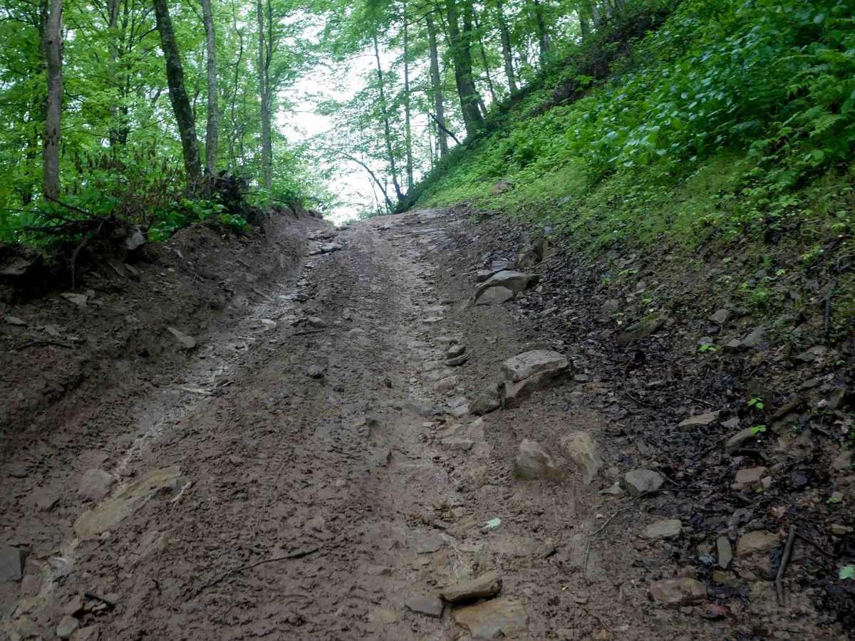
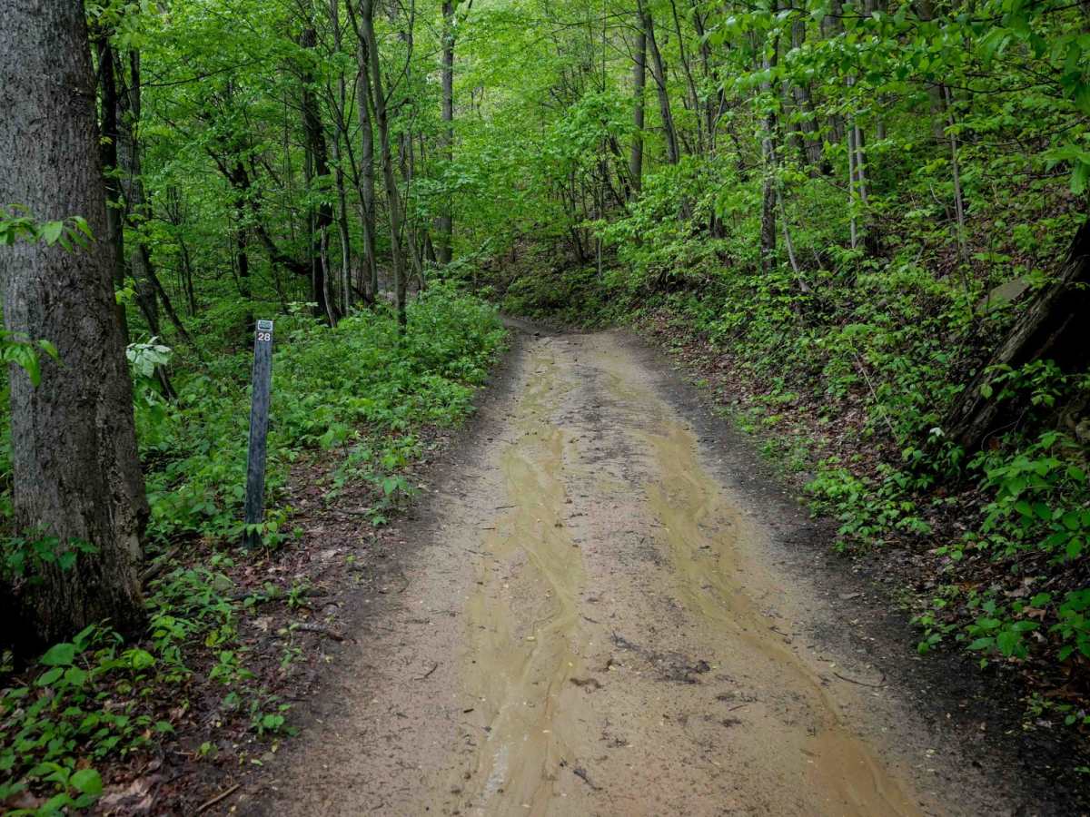
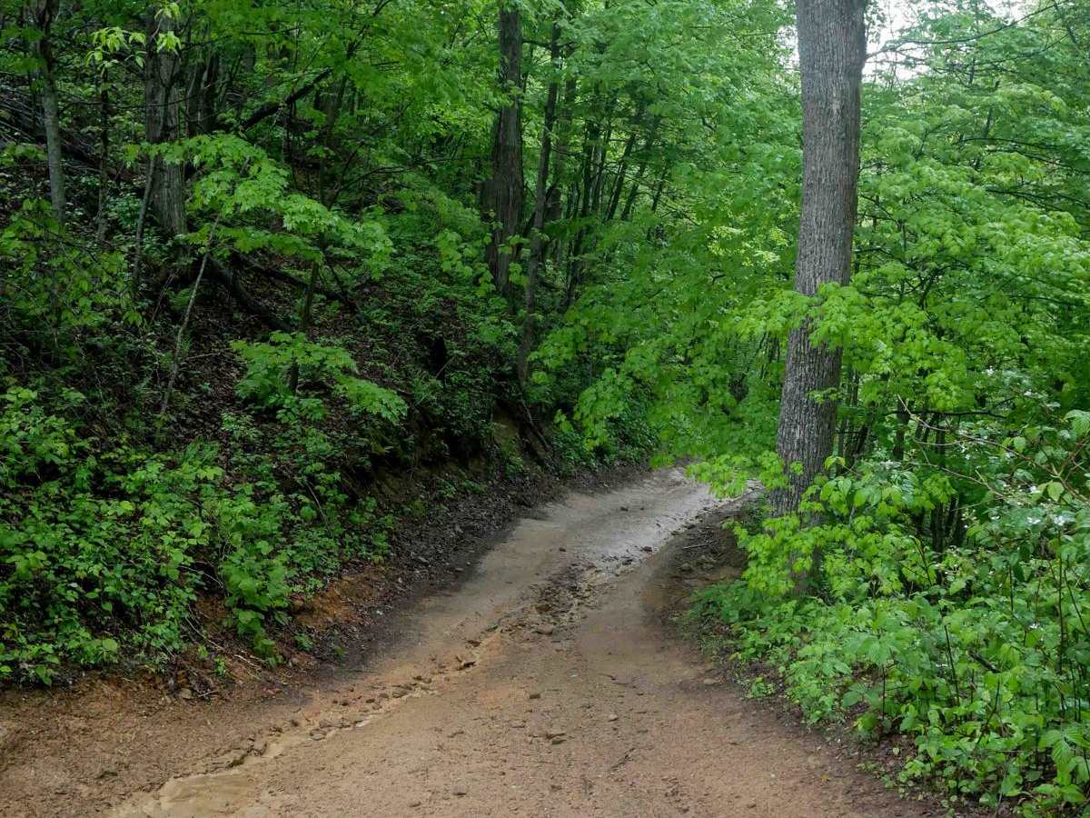
RH 28 is a short, steep connector trail--less than half a mile--linking segments of RH 40. It follows a narrow, shelf-like path with tight switchbacks and primarily descends from south to north. The trail features pronounced ruts, loose rock, and natural drop-offs caused by uneven surfaces, making the descent more technical. While not overly difficult, RH 28 is slick in wet conditions and slightly more challenging than the easier graded trails nearby, offering a brief but engaging ride for intermediate-level riders.

Photos of RH 28

Difficulty

This trail has really steep grades and deeper ruts, the combo of which makes it more technical, especially in wet conditions. Note that this is considered Most Difficult by Hatfield McCoy's rating system.

Technical Rating

7

RH 28 Trail can be accessed by the following ride types:

  • Single Track
  • 50 Inch
  • 60 Inch

RH 28 Map

The onX Offroad Difference

onX Offroad combines trail photos, descriptions, difficulty ratings, width restrictions, seasonality, and more in a user-friendly interface. Available on all devices, with offline access and full compatibility with CarPlay and Android Auto. Discover what you're missing today!

Open Trail Map