
Dirt Bike Trails
Near Lonerock, Oregon
Explore All Dirt Bike Trails Near Lonerock, Oregon
Dirt Bike Trails Near Lonerock, Oregon
Discover the best dirt bike trails near you. Browse trail maps, check difficulty ratings, and find your next adventure — whether you're looking for a quick ride or an all-day expedition.
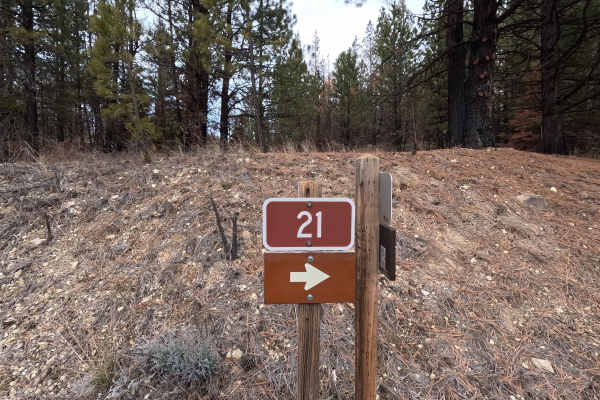
The Old Western Route - FS 21
The Old Western Route is a 13.9-mile point-to-point gravel road connecting the west end of Wheeler Point with the Heppner-Spray Highway. Although the road appears to continue west to the town of Fossil, a private gate is located several hundred yards west of this route's western end. The road surfac...
Learn more about The Old Western Route - FS 21
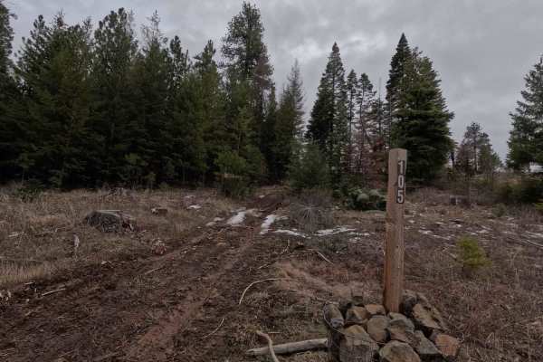
Wheeler Point Lookout Trail
Wheeler Point Lookout Trail is a 0.4-mile out-and-back trail climbing to the old Wheeler Point Lookout. Despite its short length, this trail features an intimidating hill climb followed by large rocks in the roadway that will slow most vehicles to a crawl. Only confident drivers with capable vehicle...
Learn more about Wheeler Point Lookout Trail
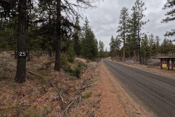
Wheeler Point - FS 25
Wheeler Point is a 15.7-mile point-to-point gravel road connecting Heppner-Spray Highway with the west end of The Old Western Route. Starting from the east side, Wheeler Point descends before leveling out and continuing along the south edge of the Umatilla National Forest. This section offers stunni...
Learn more about Wheeler Point - FS 25
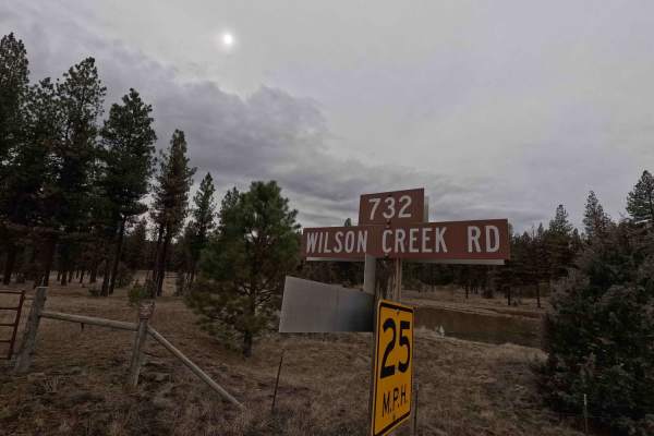
Wilson Creek Road - FS 2128
Starting from the north side at the intersection with FS 21, Wilson Creek Road is a 10.6-mile point-to-point gravel road. The trail is well-maintained for its entire length and provides access to a staging area for the Murrow-Grant OHV Park, located 1.2 miles from the start, as well as to park route...
Learn more about Wilson Creek Road - FS 2128
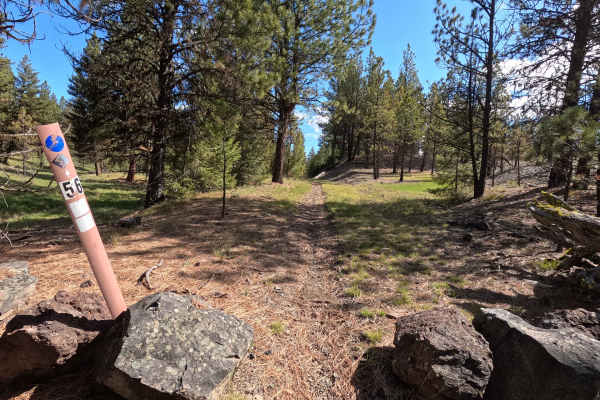
Trail 56
Trail 56 is a 0.8-mile point-to-point single-track trail in the Morrow - Grant County OHV Park. Starting from the lower intersection with Trail 54, the trail is fast and flowing, winding back and forth across what appears to be an old creek bed, with a few tight, brushy sections. After crossing Trai...
Learn more about Trail 56
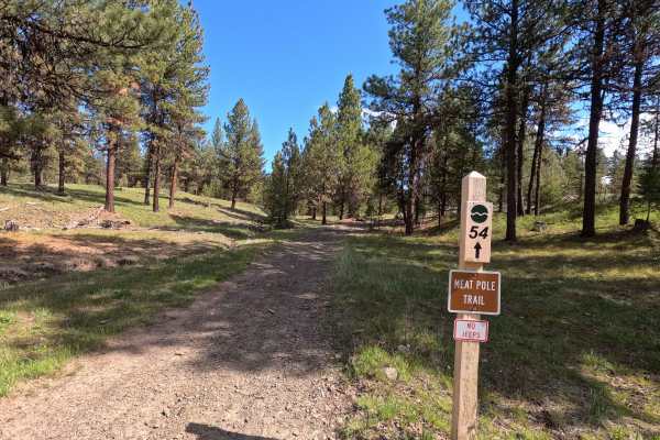
Meat Pole Trail - 54
Meat Pole Trail is a 3.1-mile point-to-point route that serves as an alternate to a section of Trail 1, while also providing access to Trails 56, 53, 52, and 51. The trail is fast and flowing, with a few steep climbs and occasional muddy sections. Meat Pole is well suited as a warm-up or access trai...
Learn more about Meat Pole Trail - 54
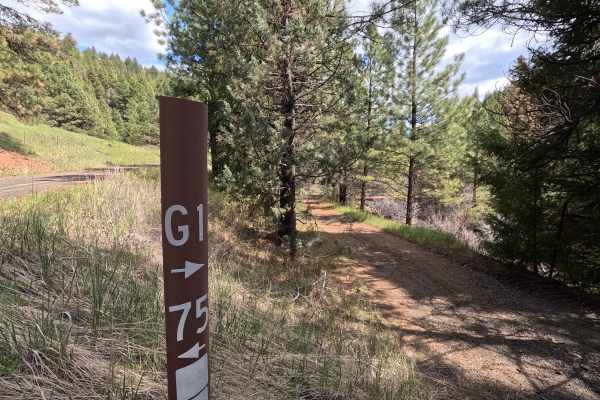
Trail G1
Trail G1 is a 7.2-mile point-to-point double-track trail that winds through the Morrow County OHV Park. Offering a variety of terrain, the route includes two bridges, multiple steep hill climbs, narrow cattle guards, tight, brushy sections, and soft, muddy areas. One of the hill climbs reaches grade...
Learn more about Trail G1
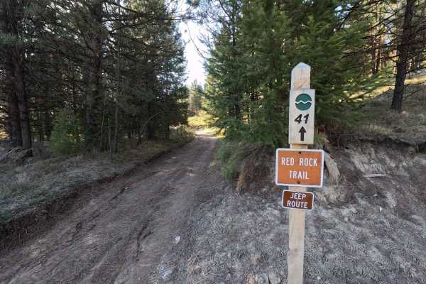
Red Rock Trail - 41
Trail 41 is a 0.8-mile point-to-point trail in the Morrow County OHV Park that connects Wilson Creek Road to Trail 40, before ending at an intersection with Trail 1. Starting from Wilson Creek Road, the trail is a narrow double track featuring a mix of embedded and loose rock before transitioning to...
Learn more about Red Rock Trail - 41
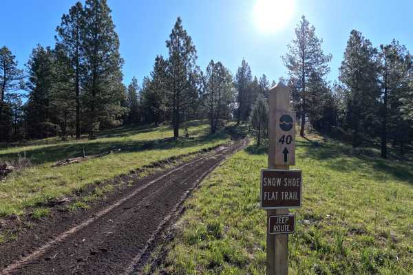
Snow Shoe Flat Trail - 40
Snowshoe Flat Trail is a 2.9-mile figure-eight loop with multiple access points. One common approach begins at the intersection with Red Rock - Trail 41, where a short distance in, an optional hill climb branches off and connects to Trail 1. Signage at this hill climb states “No Jeeps.” Continuing a...
Learn more about Snow Shoe Flat Trail - 40
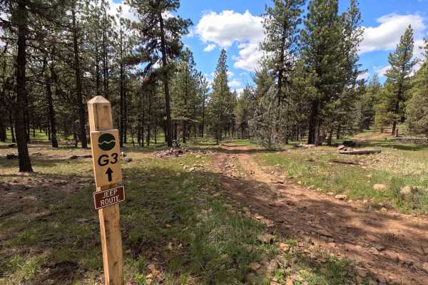
Trail G3
Trail G3 is a 2.5-mile point-to-point double-track trail that begins at an intersection with Trail 1, crosses Wilson Creek Road, and ends at an intersection with Trail G1. The trail is easy-going and provides access to several other trails within the Morrow County OHV Park. An 83-inch-wide cattle gu...
Learn more about Trail G3
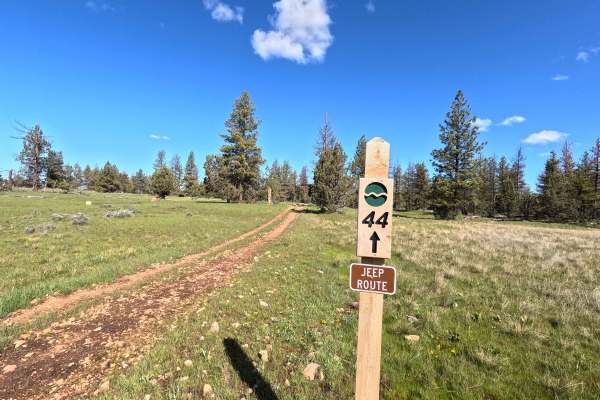
Trail 44
Trail 44 is a 1.5-mile point-to-point connector trail that starts at Trail 40 and ends at Trail 43, while also providing access to Trails 47, 55, 45, 58, and 42. Starting from Trail 40, the route winds through an open grassy meadow before beginning a steep, rocky descent down to Trail 43. Trail 44 i...
Learn more about Trail 44
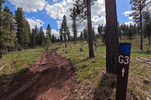
Trail G3 Hillclimb
The Trail G3 Hillclimb is an optional 0.7-mile route that provides a challenging shortcut from Trail G3 to Trail G4. The climb features sticky, heavy mud that can quickly pack into tires, along with large, loose rocks. After the initial climb, there is a short descent before the trail levels out and...
Learn more about Trail G3 Hillclimb
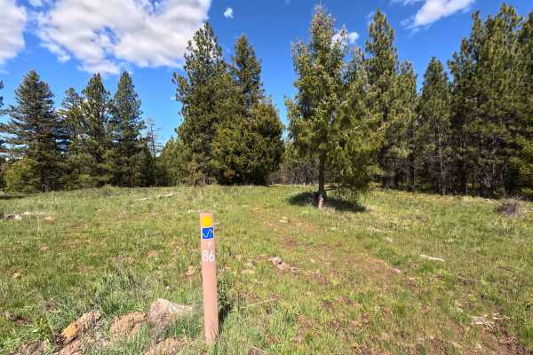
Trail 86
Trail 86 is a 1-mile point-to-point trail that connects Trail 70 and Trail 1C. Starting from Trail 70, the surface is raw and grassy, making it difficult to follow at times. The trail then transitions to rocky and muddy sections before intersecting with Trail 1C. Trail 86 is open year-round. Signage...
Learn more about Trail 86
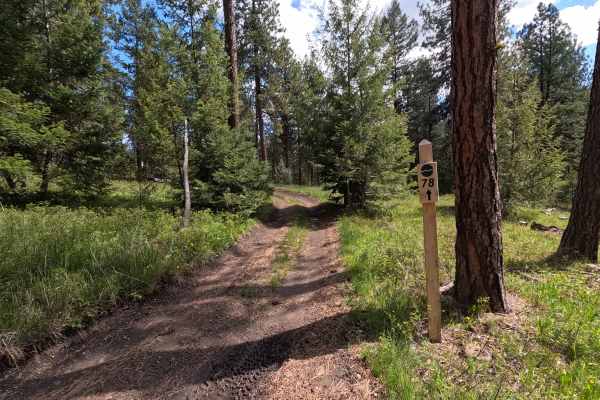
Trail 78
Trail 78 is a 1.1-mile point-to-point trail that serves as an alternative route to a section of Trail 1, while also providing access to Trails 79, 80, and 85. The trail is fast and flowing, with a few muddy sections and occasional tight, brushy areas. Trail 78 is open year-round. An Oregon State ATV...
Learn more about Trail 78
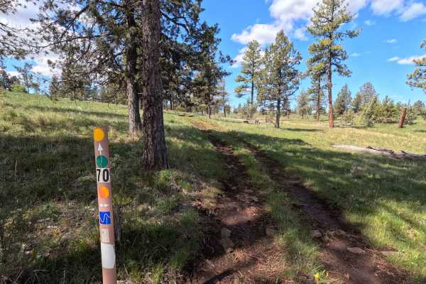
Trail 70
Trail 70 is a 1-mile point-to-point trail that serves as an alternative to a section of Trail 1. The trail is seldom used, resulting in a raw surface with significant grass growth, making it muddy and difficult to follow in places. Several deep potholes are present. Trail 70 is open year-round. An O...
Learn more about Trail 70
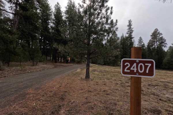
FS 2407
FS 2407 is a 2.8-mile out-and-back trail climbing from Happy Jack to Tamarack Lookout. Starting as an easy gravel road, the route gradually becomes rougher toward the top, culminating in muddy and steep sections near the lookout. Those who navigate past these conditions can climb the 96-foot lookout...
Learn more about FS 2407
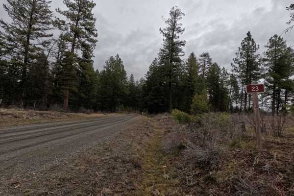
FS 23 West
FS 23 West is a 9.2-mile point-to-point, well-maintained gravel road. Starting from the intersection with Wilson Creek Road and FS 23 East, the road crosses a bridge over Wilson Creek before beginning a consistent 1,600-foot climb. Occasional narrow sections occur in the first couple of miles before...
Learn more about FS 23 West
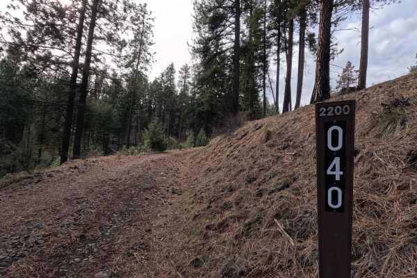
Turner Mountain - FS 2200040
Turner Mountain is a 4.3-mile out-and-back trail (this distance includes the loop and return distance) that climbs up the north face of Turner Mountain as a shelf road, continuing along the ridgeline before reaching the summit. The trail is steep, narrow, rutted, and off-camber, becoming very muddy ...
Learn more about Turner Mountain - FS 2200040
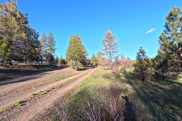
Madison Butte Lookout - FS 2119033
Madison Butte Lookout is a 9.2-mile out-and-back trail (4.6 miles one way) that climbs from Road Canyon Road to the Madison Butte Lookout. The route features small rock steps, steep sections, and tight switchbacks near the summit. Several dispersed camping opportunities are available along the trail...
Learn more about Madison Butte Lookout - FS 2119033
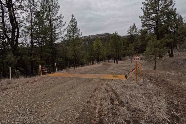
FS 23 East
A short but technical route, FS 23 East is a 3.2 mile shelf road that wraps around the base of Tamarack Mountain. Starting in the east from FS 22, the trail descends into a canyon towards Big Wall Creek. At 2.3 miles, FS 23 East crosses Big Wall Creek before climbing back out of the canyon and endin...
Learn more about FS 23 East
ATV trails near Lonerock, Oregon
Explore ATV-friendly trails near you. These trails are accessible for vehicles up to 50 inches wide, perfect for ATVs and smaller off-road machines.
The Old Western Route - FS 21
The Old Western Route is a 13.9-mile point-to-point gravel road connecting the west end of Wheeler Point with the Heppner-Spray Highway. Although the road appears to continue west to the town of Fossil, a private gate is located several hundred yards west of this route's western end. The road surfac...
Learn more about The Old Western Route - FS 21
Wheeler Point Lookout Trail
Wheeler Point Lookout Trail is a 0.4-mile out-and-back trail climbing to the old Wheeler Point Lookout. Despite its short length, this trail features an intimidating hill climb followed by large rocks in the roadway that will slow most vehicles to a crawl. Only confident drivers with capable vehicle...
Learn more about Wheeler Point Lookout Trail
Wheeler Point - FS 25
Wheeler Point is a 15.7-mile point-to-point gravel road connecting Heppner-Spray Highway with the west end of The Old Western Route. Starting from the east side, Wheeler Point descends before leveling out and continuing along the south edge of the Umatilla National Forest. This section offers stunni...
Learn more about Wheeler Point - FS 25
Wilson Creek Road - FS 2128
Starting from the north side at the intersection with FS 21, Wilson Creek Road is a 10.6-mile point-to-point gravel road. The trail is well-maintained for its entire length and provides access to a staging area for the Murrow-Grant OHV Park, located 1.2 miles from the start, as well as to park route...
Learn more about Wilson Creek Road - FS 2128
UTV/side-by-side trails near Lonerock, Oregon
Find UTV and side-by-side trails near you. These trails accommodate vehicles up to 60 inches wide, ideal for UTVs, side-by-sides, and wider off-road rigs.
The Old Western Route - FS 21
The Old Western Route is a 13.9-mile point-to-point gravel road connecting the west end of Wheeler Point with the Heppner-Spray Highway. Although the road appears to continue west to the town of Fossil, a private gate is located several hundred yards west of this route's western end. The road surfac...
Learn more about The Old Western Route - FS 21
Wheeler Point Lookout Trail
Wheeler Point Lookout Trail is a 0.4-mile out-and-back trail climbing to the old Wheeler Point Lookout. Despite its short length, this trail features an intimidating hill climb followed by large rocks in the roadway that will slow most vehicles to a crawl. Only confident drivers with capable vehicle...
Learn more about Wheeler Point Lookout Trail
Wheeler Point - FS 25
Wheeler Point is a 15.7-mile point-to-point gravel road connecting Heppner-Spray Highway with the west end of The Old Western Route. Starting from the east side, Wheeler Point descends before leveling out and continuing along the south edge of the Umatilla National Forest. This section offers stunni...
Learn more about Wheeler Point - FS 25
Wilson Creek Road - FS 2128
Starting from the north side at the intersection with FS 21, Wilson Creek Road is a 10.6-mile point-to-point gravel road. The trail is well-maintained for its entire length and provides access to a staging area for the Murrow-Grant OHV Park, located 1.2 miles from the start, as well as to park route...
Learn more about Wilson Creek Road - FS 2128
The onX Offroad Difference
onX Offroad combines trail photos, descriptions, difficulty ratings, width restrictions, seasonality, and more in a user-friendly interface. Available on all devices, with offline access and full compatibility with CarPlay and Android Auto. Discover what you're missing today!
Open Trail Map