
Dirt Bike Trails
Near Lemitar, New Mexico
Explore All Dirt Bike Trails Near Lemitar, New Mexico
Dirt Bike Trails Near Lemitar, New Mexico
Discover the best dirt bike trails near you. Browse trail maps, check difficulty ratings, and find your next adventure — whether you're looking for a quick ride or an all-day expedition.
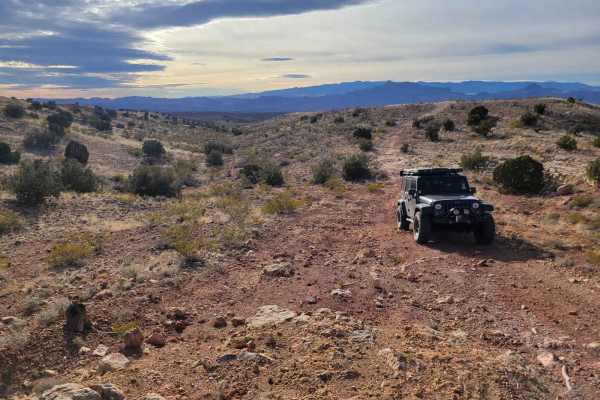
Johnson Hill Desert Exploration Route
The Johnson/Gordy's hill area is known for its extremes. Most people come here either to do the very accessible Quebradas Backcountry Byway or the more challenging climbs through the arroyos. This route is for those looking for something in between. Along the way, you will find sweeping desert vista...
Learn more about Johnson Hill Desert Exploration Route
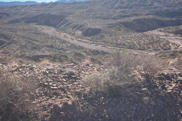
Johnson Hill View
As this route climbs Johnson Hill, it follows the National Historical Trail the El Camino Real de Tierra Adentro. This translates to The Royal Road of the Interior Land. It was also known as the Silver Route. It is a 1,590-mile road between Mexico City and San Juan Pueblo (Ohkay Owingeh), New Mexico...
Learn more about Johnson Hill View
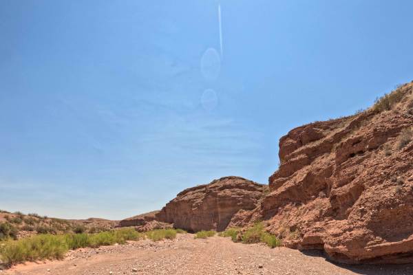
Arroyo De La Parida
A very scenic arroyo trail with portions of deep, loose rock throughout, multiple offshoots of trail options, and several rock gardens with a small rock crawl, with a bypass available. The trail includes a sharp rock descent at one point. Trailhead starts at the north staging area, with a gate that ...
Learn more about Arroyo De La Parida
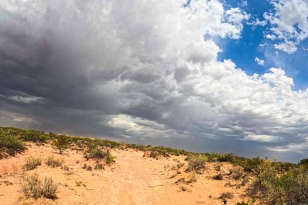
JH0077
JH0070 is a specific sandy motorized trail or route marker located within the Johnson (Gordy's) Hill OHV Recreation Area in Socorro, New Mexico. The trail is fairly smooth, with moderately deep sand in areas. It is best to keep your momentum while traversing this trail. This trail can be used in con...
Learn more about JH0077
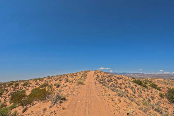
Washboard Ridge
There are offshoots of steep, sandy slopes from the top of the ridge. This trail has loose rock along the way, 3 inches or so of sand, with portions of deeper sand that can be navigated while maintaining momentum. There are parts that are rutted, with ups and downs, parts that are smooth, and portio...
Learn more about Washboard Ridge
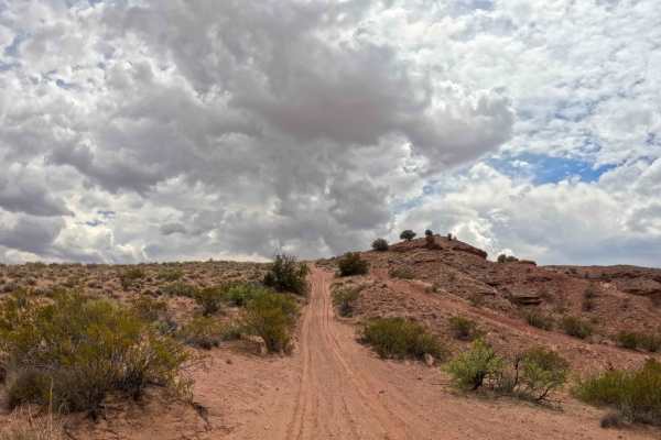
JH0086
A part of the Gordy’s Johnson Trail Network System, this is a half-sandy, half-dirt, and small loose rock trail that leads to the top of the hillside with many offshoots of steep hills to go down. The sandy portion comes with a few off-camber areas. The sand might be a couple of inches thick. The fi...
Learn more about JH0086
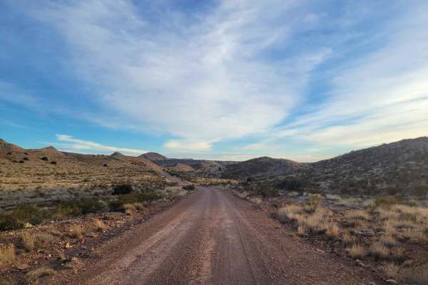
Quebradas Backcountry Byway
The Quebradas Backcountry Byway is a National Scenic Byway, starting north of Socorro and zipping through the desert down to Highway 380. Along the way, you will see a variety of desert landscapes, with rainbow-hued stratification visible on the mountains to the east. The start of the route also ser...
Learn more about Quebradas Backcountry Byway
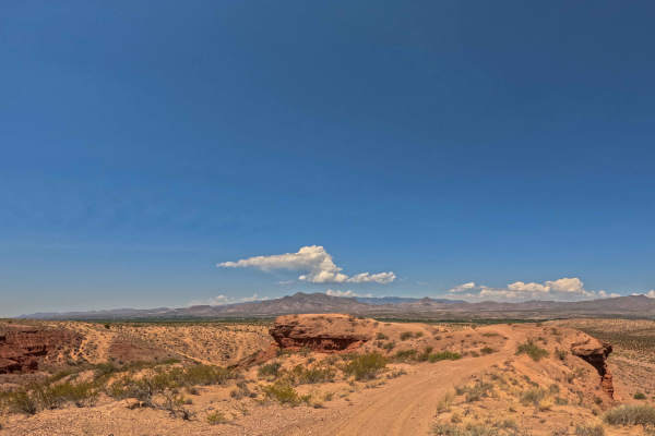
Ridge View
Ridge View is a short outer-rim loop trail within the Gordy’s Johnson Trail Network System, with a quick offshoot of a scenic ridge turnaround point that you are able to drive up onto. This trail features small rolling ups and downs, two steep hill sections, sandy terrain, and loose rock.
Learn more about Ridge View
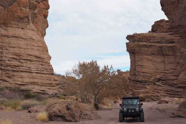
San Lorenzo Canyon
San Lorenzo Canyon is a series of rock formations and canyons on the southern border of Servilleta Wildlife Refuge. This area features numerous hiking and camping opportunities in a unique landscape not far from Albuquerque. It's a favorite day trip for locals, and you will often find others here hi...
Learn more about San Lorenzo Canyon
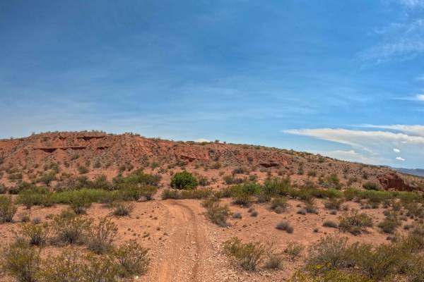
JH104
A part of the Gordy's trail system, this trail is an additional way of getting from the North to the South end of the trail system. You may get pinstripes as it is narrow at some points. You will find brush, loose rock, some sandboard terrain, and a sandy hill.
Learn more about JH104
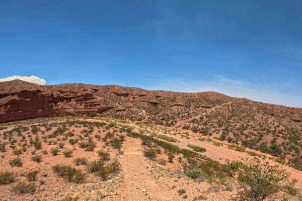
Top of the Canyon
A scenic, single-lane trail that climbs over the top of a hill with rolling ups and downs, loose rock throughout, and a steep climb that demands attention. The route includes narrow sections with possible pinstripes, off-camber terrain, and a challenging final section along the edge of loose rock. N...
Learn more about Top of the Canyon
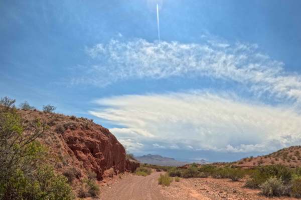
JH102
A part of the Gordy’s Johnson Trail Network System, this is the beginning of Arroyo 102 with a sandy, pebble-covered surface and occasional larger rocks along the route. This unmaintained trail is mostly flat and offers scenic desert views. You can use this as a start to cut across from the North an...
Learn more about JH102
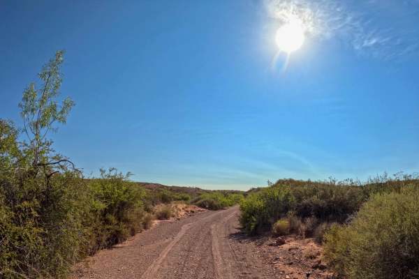
Arroyo del Coyote
Arroyo del Coyote is a scenic narrow trail through an arroyo within the Gordy's Hill Trail System with several off-camber sections, rocky crawl areas, and loose rock. Expect tight spots and guaranteed pinstripes from brush. At one point, the trail appears to continue straight, but you must turn righ...
Learn more about Arroyo del Coyote
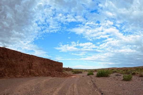
Arroyo de los Pinos
A part of the Gordy’s Johnson Trail Network System, this is an unmaintained trail that provides direct access to the Jeep Badge of Honor trail, Pucker Falls. The route follows a loose, rocky arroyo with multiple lines to choose from. Expect mostly loose rock with a few minor rock gardens, making it ...
Learn more about Arroyo de los Pinos
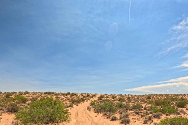
JH0099
JH0099 is a part of the Gordy's Trail system. It starts as an easy, mostly Level 2 trail with some unmaintained sections. It becomes steeper and more challenging with ruts, off-camber terrain, and climbs and descents over the mountains. One deep sand climb may require using an alternate route, which...
Learn more about JH0099
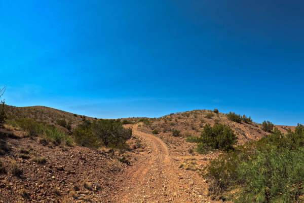
East Loop
East Loop is a part of the Gordy’s Johnson Trail Network System. This is a simple trail, crossing over a canyon to easily get to another portion of the trail system. Expect loose rock and some gradual hills. There are a few eroded spots that have wide enough trails that you will be able to bypass th...
Learn more about East Loop
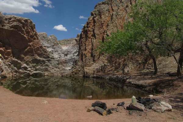
Lower Arroyo de Los Pinos
Lower Arroyo de Los Pinos is an essential trail often used to access the larger trail system in the area. It branches directly off Quebradas Backcountry Byway Road and is located just shortly after the major staging area. This trail is relatively easy but does begin with a somewhat steep descent int...
Learn more about Lower Arroyo de Los Pinos
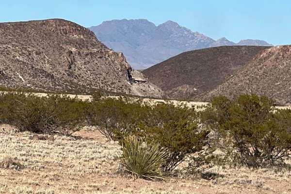
Puertecito of Bowling Green
This relatively flat, sandy route travels on the east side of the Veranito Wilderness Study Area and the south side of the Sevilleta National Wildlife Refuge. There are some erosion issues, especially toward the end of the route. It dead ends at a geological gap curiously named Puertecito of Bowling...
Learn more about Puertecito of Bowling Green
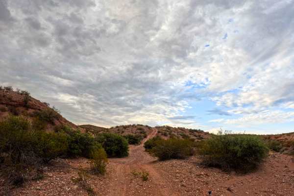
Quebradas La Madre
A part of the Gordy’s Johnson Trail Network System, this is a trail with some areas of loose rock. There are a few steep climbs where lockers may be required. The northern portion that connects to the Quebradas Back Country Byway is double track. The single track portion is 2.05 miles of the total. ...
Learn more about Quebradas La Madre
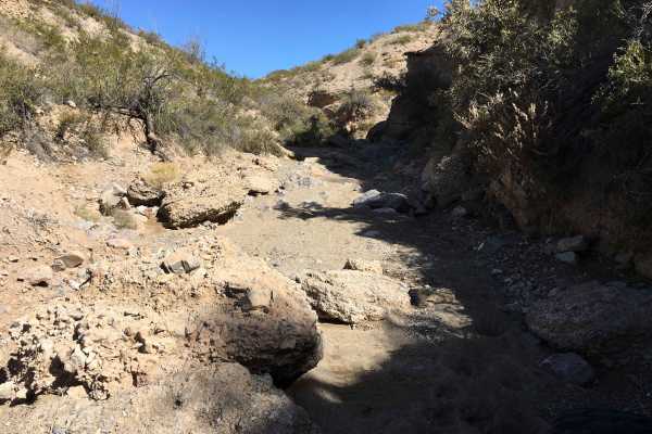
Pucker Falls
Pucker Falls is an exciting 1.2-mile technical trail designed for capable four-wheel-drive vehicles, SxSs, and built rigs seeking challenging rock obstacles along the Quebradas Backcountry Byway. Starting in a sandy wash, the route gradually intensifies as boulders grow larger and obstacles become i...
Learn more about Pucker Falls
ATV trails near Lemitar, New Mexico
Explore ATV-friendly trails near you. These trails are accessible for vehicles up to 50 inches wide, perfect for ATVs and smaller off-road machines.
Johnson Hill Desert Exploration Route
The Johnson/Gordy's hill area is known for its extremes. Most people come here either to do the very accessible Quebradas Backcountry Byway or the more challenging climbs through the arroyos. This route is for those looking for something in between. Along the way, you will find sweeping desert vista...
Learn more about Johnson Hill Desert Exploration Route
Johnson Hill View
As this route climbs Johnson Hill, it follows the National Historical Trail the El Camino Real de Tierra Adentro. This translates to The Royal Road of the Interior Land. It was also known as the Silver Route. It is a 1,590-mile road between Mexico City and San Juan Pueblo (Ohkay Owingeh), New Mexico...
Learn more about Johnson Hill View
Arroyo De La Parida
A very scenic arroyo trail with portions of deep, loose rock throughout, multiple offshoots of trail options, and several rock gardens with a small rock crawl, with a bypass available. The trail includes a sharp rock descent at one point. Trailhead starts at the north staging area, with a gate that ...
Learn more about Arroyo De La Parida
JH0077
JH0070 is a specific sandy motorized trail or route marker located within the Johnson (Gordy's) Hill OHV Recreation Area in Socorro, New Mexico. The trail is fairly smooth, with moderately deep sand in areas. It is best to keep your momentum while traversing this trail. This trail can be used in con...
Learn more about JH0077
UTV/side-by-side trails near Lemitar, New Mexico
Find UTV and side-by-side trails near you. These trails accommodate vehicles up to 60 inches wide, ideal for UTVs, side-by-sides, and wider off-road rigs.
Johnson Hill Desert Exploration Route
The Johnson/Gordy's hill area is known for its extremes. Most people come here either to do the very accessible Quebradas Backcountry Byway or the more challenging climbs through the arroyos. This route is for those looking for something in between. Along the way, you will find sweeping desert vista...
Learn more about Johnson Hill Desert Exploration Route
Johnson Hill View
As this route climbs Johnson Hill, it follows the National Historical Trail the El Camino Real de Tierra Adentro. This translates to The Royal Road of the Interior Land. It was also known as the Silver Route. It is a 1,590-mile road between Mexico City and San Juan Pueblo (Ohkay Owingeh), New Mexico...
Learn more about Johnson Hill View
Arroyo De La Parida
A very scenic arroyo trail with portions of deep, loose rock throughout, multiple offshoots of trail options, and several rock gardens with a small rock crawl, with a bypass available. The trail includes a sharp rock descent at one point. Trailhead starts at the north staging area, with a gate that ...
Learn more about Arroyo De La Parida
JH0077
JH0070 is a specific sandy motorized trail or route marker located within the Johnson (Gordy's) Hill OHV Recreation Area in Socorro, New Mexico. The trail is fairly smooth, with moderately deep sand in areas. It is best to keep your momentum while traversing this trail. This trail can be used in con...
Learn more about JH0077
The onX Offroad Difference
onX Offroad combines trail photos, descriptions, difficulty ratings, width restrictions, seasonality, and more in a user-friendly interface. Available on all devices, with offline access and full compatibility with CarPlay and Android Auto. Discover what you're missing today!
Open Trail Map