
Dirt Bike Trails
Near Leesville, Ohio
Explore All Dirt Bike Trails Near Leesville, Ohio
Dirt Bike Trails Near Leesville, Ohio
Discover the best dirt bike trails near you. Browse trail maps, check difficulty ratings, and find your next adventure — whether you're looking for a quick ride or an all-day expedition.
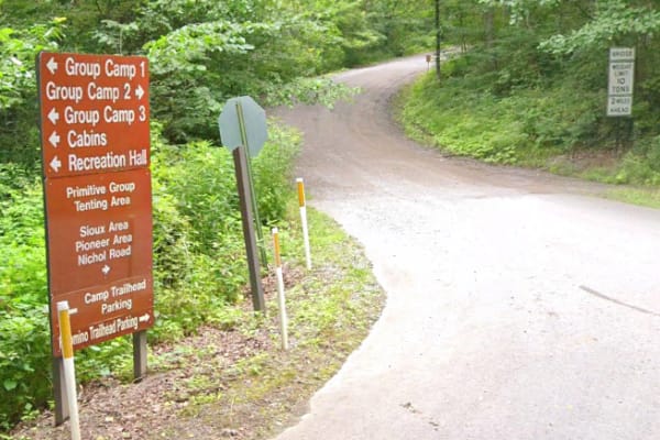
Nichol Road
This route follows a maintained gravel road through the Raccoon Creek Hunting Area. The surface is primarily gravel with a firm base and occasional minor puddles, depending on recent weather. The road is generally wide and straightforward, making for a simple, easy ride suitable for most vehicles in...
Learn more about Nichol Road
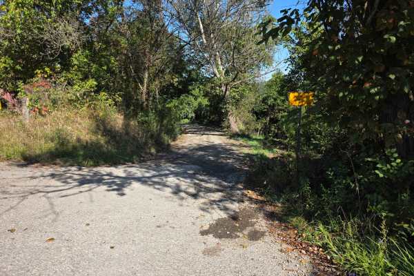
Halstead Hill Road
Halstead Hill Road is a gravel road that is fairly easy with a small hill and a few washboards. A few ninety-degree and one hundred and eighty-degree turns. No real hazards other than occasionally down tree and no guardrail. This road is not maintained in the winter. Cars could make this road.
Learn more about Halstead Hill Road
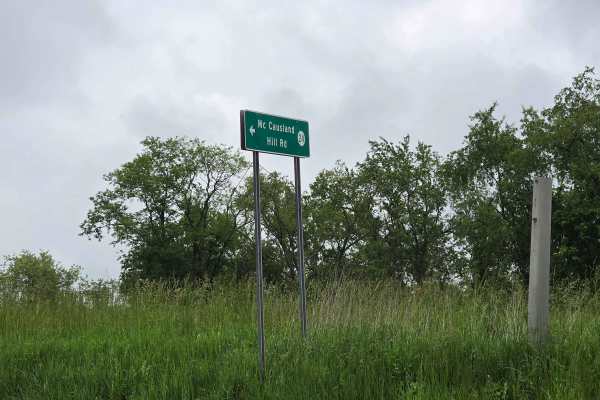
McCausland Hill Road
McCausland Hill Road is a gravel road that is simple to navigate; any car, truck, or SUV can make it through this road without any problems. Very few potholes, a few tight areas, but manageable for two vehicles to pass at once in some locations. Just keep an eye out for downed trees around turns. Th...
Learn more about McCausland Hill Road
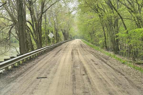
Walhonding Hills Steel Bridge to 715 Batnest Loop
This is a high-speed, secondary gravel road running along the Kokosing River. Expect to encounter significant changes in elevation, and some blind turns on the cliff edge. This area is public hunting so foraging for ginseng and mushrooms are allowed with proper permits. Use caution in the fall, bein...
Learn more about Walhonding Hills Steel Bridge to 715 Batnest Loop
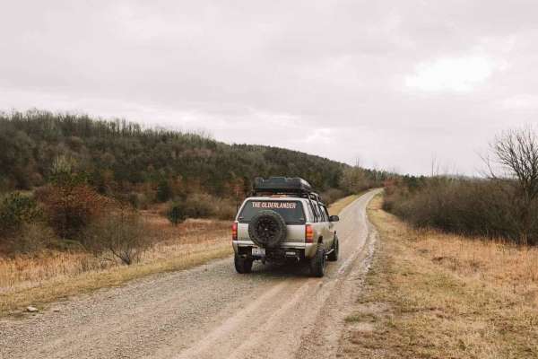
Life Wide Open - Scenic Trail
This trail is short, but VERY scenic and perfect for almost any Subaru-style vehicle. It is an excellent add-on trail in this area and is worth a run-through. Very uncharacteristic for Ohio, this trail has some out west style features! Offering very wide open ranges of rolling hills. While I was run...
Learn more about Life Wide Open - Scenic Trail
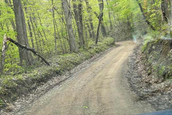
Walhonding Hills Steel Bridge to Bridge of Dreams
This trail is a tertiary gravel road that winds through the Amish Community with significant changes in elevation and sharp terms. Be aware of oncoming vehicle horse and foot traffic in the area as it is heavily Amish residential. Some of the sections at the end of this road get very steep with blin...
Learn more about Walhonding Hills Steel Bridge to Bridge of Dreams
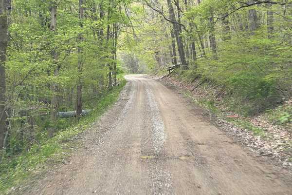
Batnest Loop
This is the eastern loop of Batnest Road back to Main Road 715. The nice twisty well-graded gravel road gets fairly steep in places. Hunting and fishing in the area with proper licensing, known for foraging of ginseng and mushrooms. Part of the Batnest and Stone Quarry Loop near Walhonding, Ohio, an...
Learn more about Batnest Loop
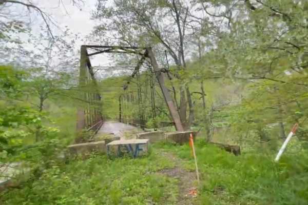
Bridge of Dreams to Hunter Steel Bridge
This is a narrow, graded winding gravel dirt mix that runs along the Kokosing River. Just after the roadside Springs, it changes Elevation to go up through a small patch of woods, and it drops down into a sweeping farmland Vista with sandstone ruins travels down a single track dead-end road to Hunte...
Learn more about Bridge of Dreams to Hunter Steel Bridge
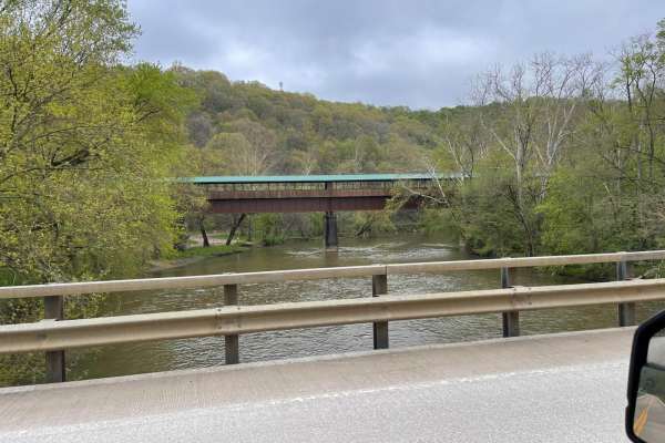
Bridge of Dreams to Mohican River
Fantastic rolling gravel along Kokosing River. There are multiple springs for filling water along the southern edge of the route. Some sections to this can be very high speed if graded well. New canoe access and Campground are adjacent to the Bridge of Dreams Park which is a 300+ foot-long pedestria...
Learn more about Bridge of Dreams to Mohican River
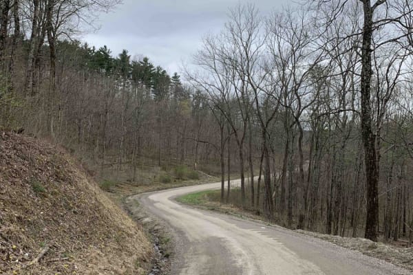
Ridgeview Road - Subarus Paradise
If you are someone that loves exploring new terrain and experiencing the true country living of Ohio, this is for you. This trail takes you by beautiful wildlife, farm animals, rustic houses, wide-open scenery, and even a fire tower. Subarus would feel right at home on this mostly gravel forest serv...
Learn more about Ridgeview Road - Subarus Paradise
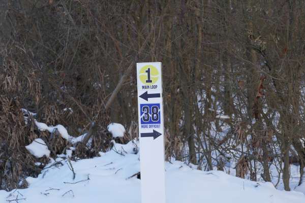
Trail 38
Trail 38 is a More Difficult (Blue) trail featuring rolling hills, tight turns, twisting sections, and frequent mud. Mud holes often become deep after rain, and smart momentum and line choice are required throughout the trail. It includes tight trees and sharp turns that require attention, controll...
Learn more about Trail 38
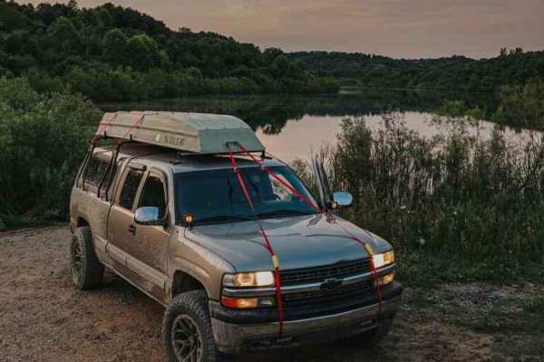
Dye Cemetary Road
This is a very scenic, offroad trail that takes you by some amazing sights. There are off-shutes that offer some fun Ohio mud, large lakes for fishing, as well as some very wide-open hunting opportunities. This trail crosses another great trail named "The Ridge Run" and is mild at the beginning, but...
Learn more about Dye Cemetary Road
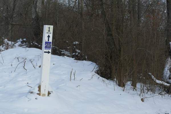
Trail 23
Trail 23 is a More Difficult (Blue) trail that is short but challenging. It earns its rating due to several deep holes that vary in depth depending on the rain. Water can hide the bottom, requiring a careful approach and controlled speed. Check the trees around the holes for signs of previous wench ...
Learn more about Trail 23
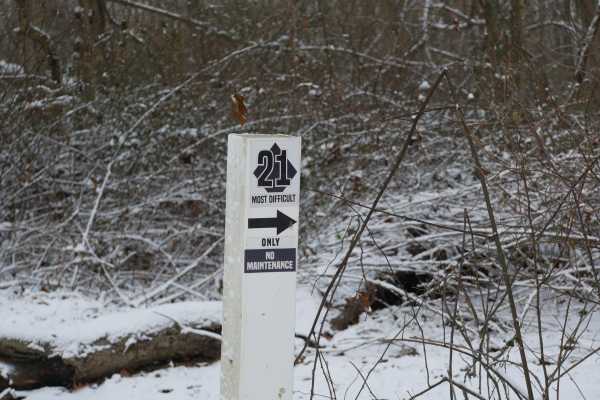
Trail 21
Trail 21 is a Most Difficult (Black) trail located in the lower section of the park and is designed for riders who are comfortable with technical terrain. It earns its rating due to rocky sections, deep ruts, and uneven surfaces that demand careful line choice and throttle control. The trail leads t...
Learn more about Trail 21
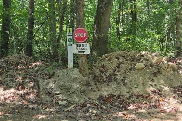
Trail 7
Trail 7 is an Easiest (Green) two-way trail with a smooth, road-like feel and a few tight corners along the way. Because it is two-way, riders should keep speeds controlled and watch for oncoming traffic, especially around blind turns. Trail 7 also follows an old route once used by miners, and the n...
Learn more about Trail 7
Trail 8
Trail 8 is an easiest (Green) connector trail that runs from Trail 7 to the bottom of the Trail 1 Hill Climbs. It provides a smooth, low-stress route into the hill climb area. Looking for the Mine Tour Waiting Area? Use Trail 8 and follow the posted signs. Terrain is predictable with packed dirt an...
Learn more about Trail 8
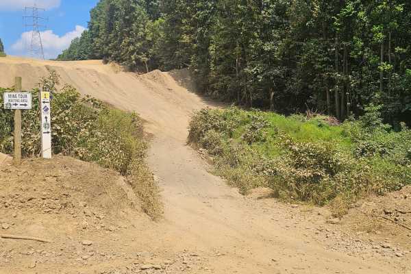
Trail 13
Trail 13 is an easiest (Green) trail that provides a simple, rideable route through this section of the park. In dry conditions, it is smooth and beginner-friendly, but during rainy seasons, mud holes can become deep, and the trail can turn slick. Packed clay trails have an ice-like feel in heavy ra...
Learn more about Trail 13
Trail 25
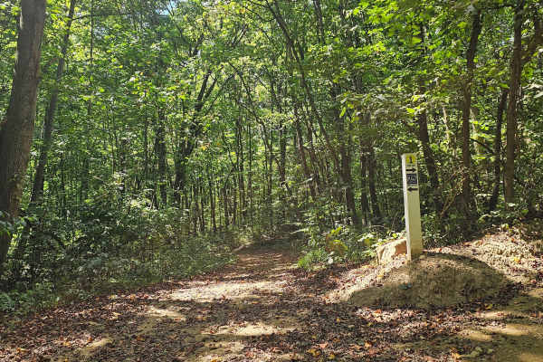
Trail 25 is a More Difficult (Blue) trail that runs parallel to the start of Trail 1. It features deep mud holes, including sections between tight trees where momentum and line choice matter. Trail 25 eventually merges back into Trail 1, making it a challenging but contained alternate route back to ...
Learn more about Trail 25
Trail 19
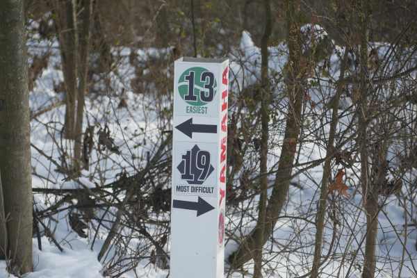
Trail 19, known as The Playground, is a Most Difficult (Black) spider-web style trail system with multiple offshoots and loops. It is not well marked and contains significant water and wet sections with varying depth. Riders can easily get turned around. There are multiple exits from the playground....
Learn more about Trail 19
Trail 37
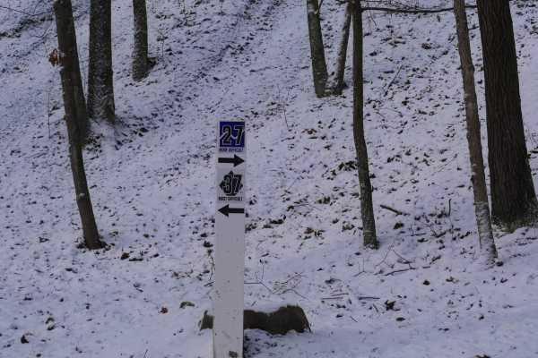
Trail 37 is a Most Difficult (Black) trail and is designated No Maintenance, making it one of the most extreme challenge routes in the park. This trail is a true rock scramble featuring large boulders and heavy rock obstacles that require slow technical movement, careful line selection, and confiden...
Learn more about Trail 37
ATV trails near Leesville, Ohio
Explore ATV-friendly trails near you. These trails are accessible for vehicles up to 50 inches wide, perfect for ATVs and smaller off-road machines.
Nichol Road
This route follows a maintained gravel road through the Raccoon Creek Hunting Area. The surface is primarily gravel with a firm base and occasional minor puddles, depending on recent weather. The road is generally wide and straightforward, making for a simple, easy ride suitable for most vehicles in...
Learn more about Nichol Road
Ridgeview Road - Subarus Paradise
If you are someone that loves exploring new terrain and experiencing the true country living of Ohio, this is for you. This trail takes you by beautiful wildlife, farm animals, rustic houses, wide-open scenery, and even a fire tower. Subarus would feel right at home on this mostly gravel forest serv...
Learn more about Ridgeview Road - Subarus Paradise
Trail 38
Trail 38 is a More Difficult (Blue) trail featuring rolling hills, tight turns, twisting sections, and frequent mud. Mud holes often become deep after rain, and smart momentum and line choice are required throughout the trail. It includes tight trees and sharp turns that require attention, controll...
Learn more about Trail 38
Dye Cemetary Road
This is a very scenic, offroad trail that takes you by some amazing sights. There are off-shutes that offer some fun Ohio mud, large lakes for fishing, as well as some very wide-open hunting opportunities. This trail crosses another great trail named "The Ridge Run" and is mild at the beginning, but...
Learn more about Dye Cemetary Road
UTV/side-by-side trails near Leesville, Ohio
Find UTV and side-by-side trails near you. These trails accommodate vehicles up to 60 inches wide, ideal for UTVs, side-by-sides, and wider off-road rigs.
Nichol Road
This route follows a maintained gravel road through the Raccoon Creek Hunting Area. The surface is primarily gravel with a firm base and occasional minor puddles, depending on recent weather. The road is generally wide and straightforward, making for a simple, easy ride suitable for most vehicles in...
Learn more about Nichol Road
Halstead Hill Road
Halstead Hill Road is a gravel road that is fairly easy with a small hill and a few washboards. A few ninety-degree and one hundred and eighty-degree turns. No real hazards other than occasionally down tree and no guardrail. This road is not maintained in the winter. Cars could make this road.
Learn more about Halstead Hill Road
McCausland Hill Road
McCausland Hill Road is a gravel road that is simple to navigate; any car, truck, or SUV can make it through this road without any problems. Very few potholes, a few tight areas, but manageable for two vehicles to pass at once in some locations. Just keep an eye out for downed trees around turns. Th...
Learn more about McCausland Hill Road
Ridgeview Road - Subarus Paradise
If you are someone that loves exploring new terrain and experiencing the true country living of Ohio, this is for you. This trail takes you by beautiful wildlife, farm animals, rustic houses, wide-open scenery, and even a fire tower. Subarus would feel right at home on this mostly gravel forest serv...
Learn more about Ridgeview Road - Subarus Paradise
The onX Offroad Difference
onX Offroad combines trail photos, descriptions, difficulty ratings, width restrictions, seasonality, and more in a user-friendly interface. Available on all devices, with offline access and full compatibility with CarPlay and Android Auto. Discover what you're missing today!
Open Trail Map