
Dirt Bike Trails
Near Kings Mountain, North Carolina
Explore All Dirt Bike Trails Near Kings Mountain, North Carolina
Dirt Bike Trails Near Kings Mountain, North Carolina
Discover the best dirt bike trails near you. Browse trail maps, check difficulty ratings, and find your next adventure — whether you're looking for a quick ride or an all-day expedition.
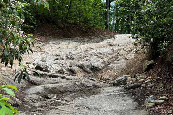
Brown Mountain Trail 1
The Brown Mountain OHV area is a predominantly SxS, ATV, and dirt biking system that offers a few miles of trail for full-size 4WD rigs. The trail starts as an easy rutted Forest Service-esque road and eventually turns into a challenging double-track trail that has rock gardens, small ledges, ruts, ...
Learn more about Brown Mountain Trail 1
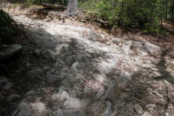
1A
Trail 1A is a difficult and narrow ATV trail open to vehicles 50" or less. The trail winds through a lush forest, crossing small creeks and constantly weaving against the mountainside, often with blind corners. The trail has big embedded rock layers, maintained cinderblock paths, deep ruts, fast and...
Learn more about 1A
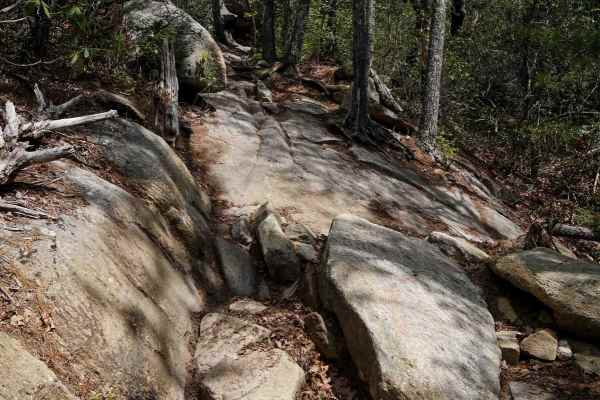
Trail 2 Elliot Deer
Trail 2 is a difficult ATV trail for vehicles 50" or less. It starts as a shelfy and smooth traverse across the mountainside, dug out in spots, with big sweeping corners, and fast between the trees, but has large rock obstacles for the majority of the route. Most of the obstacles are large embedded ...
Learn more about Trail 2 Elliot Deer
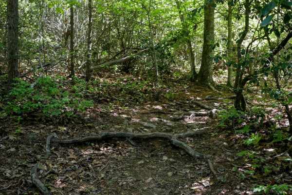
Stage 5
Stage 5 is one of the easier segments of the Enduro Trail, serving as part of the bailout that connects back to the SxS trail 1A. There are low branches and downed logs to watch out for, and it goes through narrow shelfy terrain, but it is more open through the trees, with fewer roots and rocks than...
Learn more about Stage 5

Trail 9 - 50 Inch
The southern portion of Trail 9 is designated for vehicles 50" or less, and is of extreme difficulty. This trail is directional north to south and should not be ridden in the uphill direction. The north end starts off easy with flat embedded rock layers, but it quickly ramps up intensity with a tech...
Learn more about Trail 9 - 50 Inch
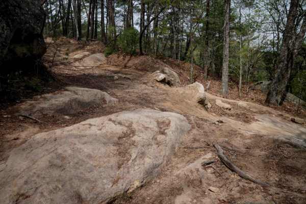
Trail 10
Trail 10 is open to vehicles 65" or less, and has a couple of moderate rock obstacles, plus steep climbs and descents. It starts at the intersection with Trail 9 with a steep, rutted descent with embedded rock layers that make small drop-offs less than a foot tall. The descent is technical because i...
Learn more about Trail 10
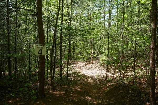
Stage 4
Stage 4 offers a moderately difficult but still technical ride, giving riders a break from the more difficult stages 2 and 3. This section winds tightly through dense trees with frequent root crossings, narrow corners, and tightly spaced turns that demand constant focus. Steep, rooty climbs and scat...
Learn more about Stage 4
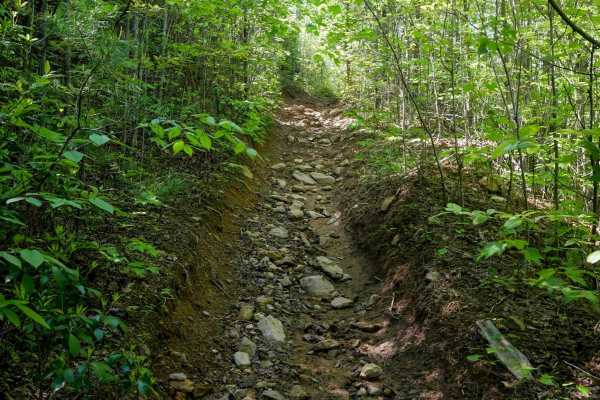
Stage 3
Stage 3 is a double black diamond section and one of the most demanding parts of the Enduro Trail, best for advanced riders seeking continuous, high-level challenges. The trail threads tightly between trees with root bands and features relentless technical elements--loose rocky climbs and descents, ...
Learn more about Stage 3

Trail 3 Sullivan's Pass
Sullivan's Pass is a One-Way trail in the east-to-west (clockwise) direction. The first mile is a long descent down, and the second mile climbs back up to Trail 1B. It's a pretty wide singletrack the entire route. The descent down is very troughed in many spots, switchbacking down, with small logs a...
Learn more about Trail 3 Sullivan's Pass
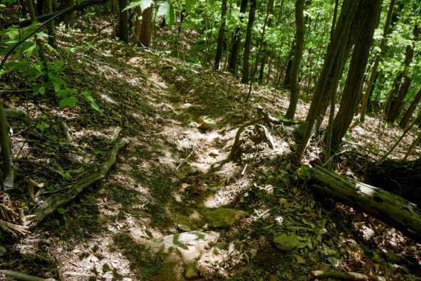
Stage 6
Stage 6 delivers a narrow, weaving ride through tight woods with deep roots, troughs, and steep side-hill descents that require careful line selection. A large downed log at head height adds an interesting obstacle early on, forcing a detour around it. The trail includes a mix of moderate technical ...
Learn more about Stage 6
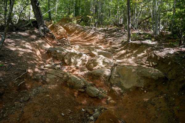
Stage 2
This 1-mile segment is one of the toughest portions of the Enduro Trail, packed with relentless roots, tight lines between trees, and advanced rock features. Expect steep, leaf-covered hills with loose rocks, deep troughs, and root drop-offs that challenge even experienced riders. There are a couple...
Learn more about Stage 2
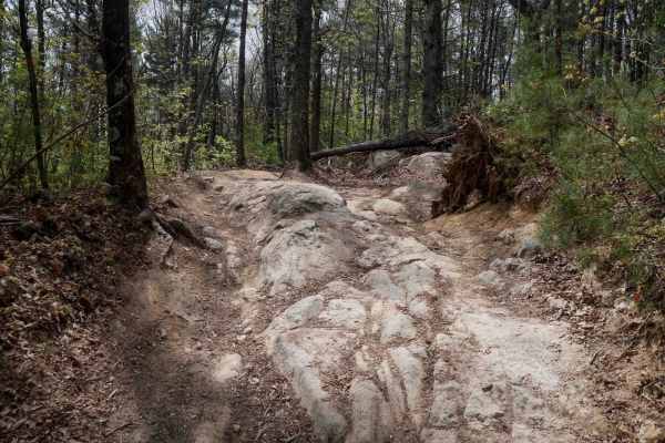
Trail 4 Kirby's Loop
Trail 4 is a wide OHV route open to vehicles 65 inches or less, accommodating two-way travel with plenty of space. The trail features a mix of smooth surfaces, loose rock, and root sections, along with cinderblock reinforcement in spots. Waterbars are present throughout for drainage. Several notable...
Learn more about Trail 4 Kirby's Loop
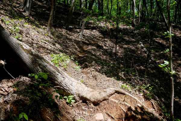
Stage 8
Stage 8 of the Enduro Trail is a 0.8-mile segment that emphasizes steep hill climbs rather than rock features, offering a test of traction and momentum. The trail begins with a steep descent over leaf-covered hillsides dotted with small roots and potential fallen branches, then transitions into off-...
Learn more about Stage 8
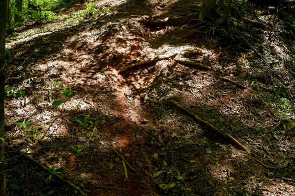
Stage 7
Stage 7 begins with a double black diamond marker and delivers a short but steep 0.7-mile challenge. The narrow trail winds through dense trees, featuring tight switchbacks laced with roots and ruts, small rock obstacles, and embedded boulders that can easily be ridden through. Rooted drop-offs and ...
Learn more about Stage 7
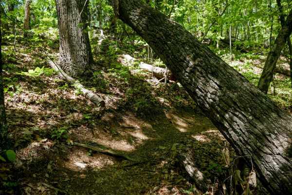
Stage 9
Stage 9 is the final leg of the Enduro Trail, guiding riders back toward the start of the loop. After crossing Trail 1A, the path narrows into dense, scraggly woods with thin trees, low branches, and narrow tree gaps. Expect slick embedded root bands, gradual but troughed climbs, and small logs down...
Learn more about Stage 9
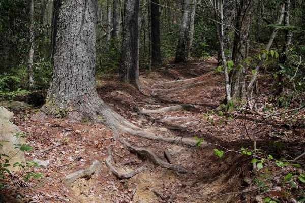
Trail 5 Ned's Knob
Ned's Knob is a directional, north-to-south singletrack trail offering a 1.4-mile gradual descent through tight, wooded terrain. The narrow path winds between small trees, with sections deeply troughed from wear. Riders can expect small roots, a few overhanging logs requiring ducking, and embedded b...
Learn more about Trail 5 Ned's Knob
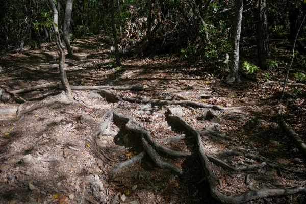
Stage 1
This 1.6-mile stretch of the Enduro Trail delivers a relentless series of climbs and descents across off-camber hillsides and leaf-strewn terrain. Riders will navigate tight corners through trees, steep rutted downhills with drop-offs, and rocky hill climbs marked by loose dirt, embedded boulders, a...
Learn more about Stage 1
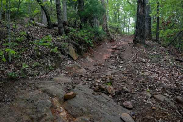
2A Hang Glide Hill
Trail 2A, ridden west to east, serves as an Office Bailout option after you are 8.5 miles into the 11-mile 1A OHV route. It features a steep descent dropping 270 feet in elevation over less than a quarter mile. The trail is a challenging, loose, rocky descent, filled with cobble and bedrock outcropp...
Learn more about 2A Hang Glide Hill
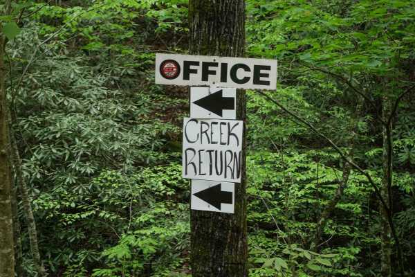
Creek Office Return
This two-way trail at Brushy Mountain Motorsports Park begins on the west side at the intersection of Trails 1A, 2A, and 1B. The route starts off narrow between dense bushes before opening slightly as it parallels a scenic creek. Minor loose and embedded rocks are present, but the trail surface is m...
Learn more about Creek Office Return
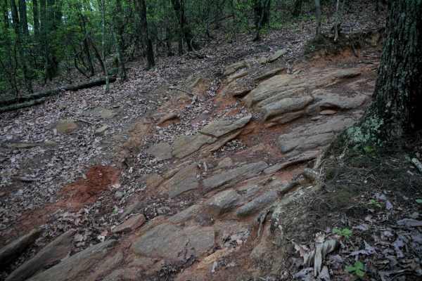
1A
Trail 1A at Brushy Mountain Motorsports Park is an 11-mile main OHV route offering a diverse and challenging ride. The trail begins with a rocky climb next to a creek, featuring loose cobble and shallow ruts filled with rocks. Riders will encounter sharp corners with embedded rock faces and shelfy t...
Learn more about 1A
ATV trails near Kings Mountain, North Carolina
Explore ATV-friendly trails near you. These trails are accessible for vehicles up to 50 inches wide, perfect for ATVs and smaller off-road machines.
Brown Mountain Trail 1
The Brown Mountain OHV area is a predominantly SxS, ATV, and dirt biking system that offers a few miles of trail for full-size 4WD rigs. The trail starts as an easy rutted Forest Service-esque road and eventually turns into a challenging double-track trail that has rock gardens, small ledges, ruts, ...
Learn more about Brown Mountain Trail 1
1A
Trail 1A is a difficult and narrow ATV trail open to vehicles 50" or less. The trail winds through a lush forest, crossing small creeks and constantly weaving against the mountainside, often with blind corners. The trail has big embedded rock layers, maintained cinderblock paths, deep ruts, fast and...
Learn more about 1A
Trail 2 Elliot Deer
Trail 2 is a difficult ATV trail for vehicles 50" or less. It starts as a shelfy and smooth traverse across the mountainside, dug out in spots, with big sweeping corners, and fast between the trees, but has large rock obstacles for the majority of the route. Most of the obstacles are large embedded ...
Learn more about Trail 2 Elliot Deer
Trail 9 - 50 Inch
The southern portion of Trail 9 is designated for vehicles 50" or less, and is of extreme difficulty. This trail is directional north to south and should not be ridden in the uphill direction. The north end starts off easy with flat embedded rock layers, but it quickly ramps up intensity with a tech...
Learn more about Trail 9 - 50 Inch
UTV/side-by-side trails near Kings Mountain, North Carolina
Find UTV and side-by-side trails near you. These trails accommodate vehicles up to 60 inches wide, ideal for UTVs, side-by-sides, and wider off-road rigs.
Brown Mountain Trail 1
The Brown Mountain OHV area is a predominantly SxS, ATV, and dirt biking system that offers a few miles of trail for full-size 4WD rigs. The trail starts as an easy rutted Forest Service-esque road and eventually turns into a challenging double-track trail that has rock gardens, small ledges, ruts, ...
Learn more about Brown Mountain Trail 1
Trail 10
Trail 10 is open to vehicles 65" or less, and has a couple of moderate rock obstacles, plus steep climbs and descents. It starts at the intersection with Trail 9 with a steep, rutted descent with embedded rock layers that make small drop-offs less than a foot tall. The descent is technical because i...
Learn more about Trail 10
Trail 4 Kirby's Loop
Trail 4 is a wide OHV route open to vehicles 65 inches or less, accommodating two-way travel with plenty of space. The trail features a mix of smooth surfaces, loose rock, and root sections, along with cinderblock reinforcement in spots. Waterbars are present throughout for drainage. Several notable...
Learn more about Trail 4 Kirby's Loop
2A Hang Glide Hill
Trail 2A, ridden west to east, serves as an Office Bailout option after you are 8.5 miles into the 11-mile 1A OHV route. It features a steep descent dropping 270 feet in elevation over less than a quarter mile. The trail is a challenging, loose, rocky descent, filled with cobble and bedrock outcropp...
Learn more about 2A Hang Glide Hill
The onX Offroad Difference
onX Offroad combines trail photos, descriptions, difficulty ratings, width restrictions, seasonality, and more in a user-friendly interface. Available on all devices, with offline access and full compatibility with CarPlay and Android Auto. Discover what you're missing today!
Open Trail Map