
Dirt Bike Trails
Near Hot Springs Village, Arkansas
Explore All Dirt Bike Trails Near Hot Springs Village, Arkansas
Dirt Bike Trails Near Hot Springs Village, Arkansas
Discover the best dirt bike trails near you. Browse trail maps, check difficulty ratings, and find your next adventure — whether you're looking for a quick ride or an all-day expedition.

Angling Pinnacle 2
This is by far the ultimate fun 4x4 road. Starting from the east there is a pretty big campsite next to a creek which could be good for fishing. Continuing down the road there are several water crossings and creeks which at times may flow over the roads. This road is mostly gravel and clay-like mud....
Learn more about Angling Pinnacle 2
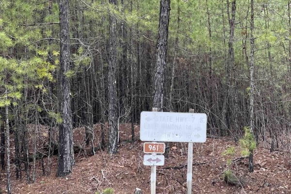
Alum Divide 961
Another rolling, easy gravel road that leads you to more hiking entrances, scenic viewpoints, or even just a new route to the famous Hot Springs, Arkansas. This Ouachita National Forest Service Road gives you some great campsites with lots of trees and pine trees for shade during the summer months. ...
Learn more about Alum Divide 961
Alum Experiment Road 962
Easy gravel road with water crossings, bridges, and scenic views through the vast trees that line this route. Lots of shade during the summertime from the over 60 species of trees that inhabit the Ouachita National Forest. The most interesting part about this route is the water research station I fo...
Learn more about Alum Experiment Road 962
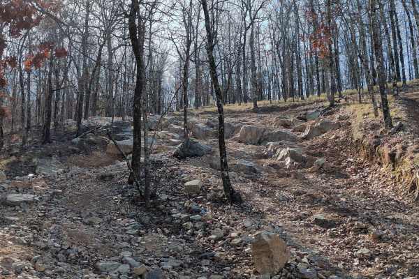
G4 Don's 101
G4 Don's 101 is a tight twisting trail at the northwest extreme corner of the park. It branches off of and rejoins G14 Road to Emmaus. G4 Don's 101 has quite a few rock obstacles and also an off-camber portion that can be challenging, especially when wet. Most obstacles have multiple lines of varyin...
Learn more about G4 Don's 101
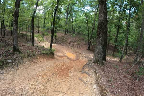
G3 Fun Run
You will find ups, downs, and all arounds. You'll see some granite rock slabs climbs, and some off-camber twists and turns. Overall, the description is in the name at just under a mile long, this trail has a little something for everyone. Probably the second most difficult (or easiest) of the Jeep ...
Learn more about G3 Fun Run
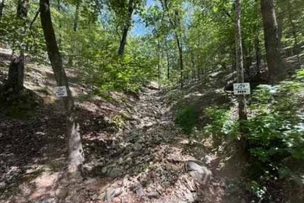
J29 Holtz Hill
J29 Holtz Hill is a steep grade trail full of large and small rocks. There are big drop-offs and ledges with loose rock. This trail connects to J15 King Cobra. This trail also has a bypass option that is still difficult. A Park Day-Use Trail Pass is required to access this system of trails. Cell ser...
Learn more about J29 Holtz Hill
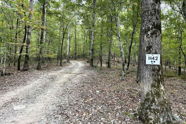
H42 Parker Lane
This is one of two main trails on the west side of the park. It is a great starting point to connect to more challenging trails. The trail is well maintained and consists of small to medium loose rock and hard-pack sections. Don't miss stopping at Papa's Pointe Overlook for a break with a great view...
Learn more about H42 Parker Lane
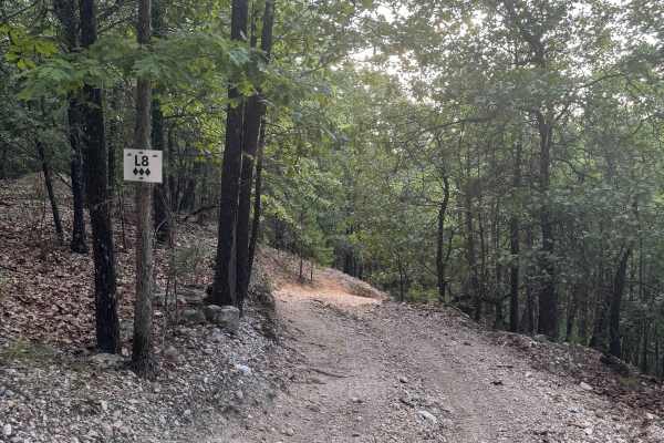
L8
L8 is a short but steep 3-Diamond trail located on the 400-Side of Hot Springs Off-Road Park. Though only 0.1 miles long, it drops nearly 91 feet in elevation, making it a challenging descent—or climb—for drivers navigating the area. The surface is made up of very small, loose rock, which can become...
Learn more about L8
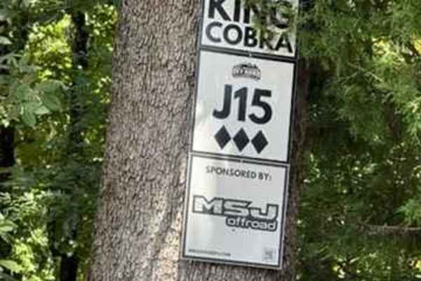
J15 King Cobra
J15 King Cobra can be accessed from the Primary Access Trail, H42 Parkers Lane. This trail is one of the longer trails and is very fun. This trail is a combination of steep grades, very sharp turns, and washed-out areas with some off-camber sections. You start off this trail with an amazing view fro...
Learn more about J15 King Cobra

L3
L3 is a two-way trail located on the 400-Side of Hot Springs Off-Road Park. It winds through a beautifully wooded, shaded area, offering a peaceful route that’s ideal for connecting deeper into the Park’s trail system.
The trail currently holds a 3-Diamond rating, though it is slated to be adjusted...
Learn more about L3

H14 The Shoot
H14, known as “The Shoot,” is a 3-Diamond, two-way trail located on the 400-Side of Hot Springs Off-Road Park. Though just 0.1 miles long, it drops 132 feet, making it one of the steepest short runs in the Park. The trail runs under a powerline corridor, giving it an open-sky feel that stands in con...
Learn more about H14 The Shoot

G15 Road to Adventure
G2 Road to Adventure is a mild trail that gently flows through the woods. It is relatively flat and does not offer any major challenges beyond trees close to the edge of the trail.
The park rating for this trail is 2 diamonds. A Park Day-Use Trail Pass is required to access this system of trails. C...
Learn more about G15 Road to Adventure
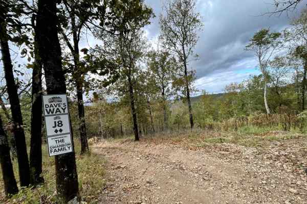
J8 Dave's Way
This is a short and easy trail that consists of small to medium loose gravel and hard-pack sections. This trail can be used to bypass or connect to more challenging trails J15 King Cobra and J24. This trail can be accessed by H42 Parker Lane. It also ends and begins on H42 Parker Lane.
Learn more about J8 Dave's Way
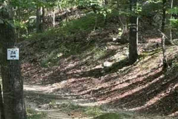
J14
J14 is a change of pace for the trails in this area. J14 is an easier "smooth like" trail that connects multiple trails. You can access J20, J21, J23, J26, J22, and J8 from J14. This trail has some small loose rocks but remains relatively flat. A Park Day-Use Trail Pass is required to access this sy...
Learn more about J14

A21 Horsepower Hill
Hold on tight and put the pedal to the floor! A21 Horsepower Hill is primarily used for rock bounce races, but anyone brave enough to put tires on it can try it. It is extremely steep and dangerous. There is a high chance of rollover on this hill. Only experienced drivers with a full roll cage shoul...
Learn more about A21 Horsepower Hill

G8/G9 Pipeline
This trail can be traveled in either direction (north to south or south to north). Running this trail from North to South, you will find a steep incline starting on some dirt and quickly moving to loose rock. Towards the middle of the trail, you are met with some larger loose rocks, making it more d...
Learn more about G8/G9 Pipeline
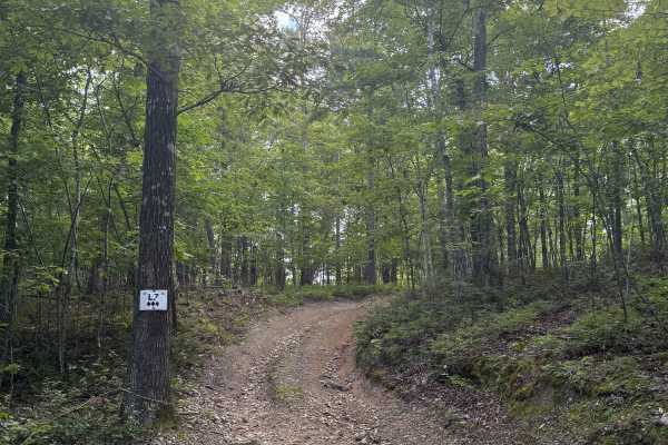
L7
L7 is a 3-Diamond, one-way loop trail on the 400-Side of Hot Springs Off-Road Park. It may be short—just 0.6 miles—but it packs a punch with its steep climbs and descents. The trail is covered in small, loose, slippery rock, which keeps things interesting as you work your way through it. The loop wi...
Learn more about L7

A15 Twin Hills East (Bottom)
A15 Twin Hills East is a steep hill climb that provides a direct route from Main Trail 1 up to the ridge on A25 Brandon's Run. The trail provides multiple line choices, but the easiest one is still a steep climb with loose rock and dirt. The park rating for this trail is 4 diamonds.
A Park Day-Use...
Learn more about A15 Twin Hills East (Bottom)

G6/G7 Squid's Jaunt
Squid's Jaunt is a connecting Powerline trail that runs from Road 1 to Road 5. It is rated as a 3 on the park map. It is a gradual descent or climb that has many route options and has some decent-sized rocks along the way. Going up the trail from 1 to 5 would be more difficult than coming down from ...
Learn more about G6/G7 Squid's Jaunt
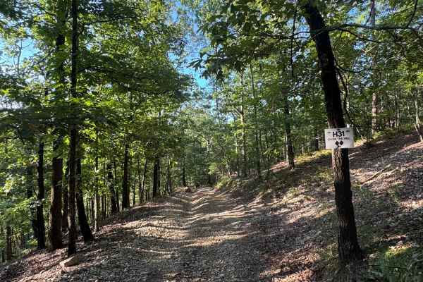
H31 Over the Hill
H31 Over the Hill is a 2-Diamond, two-way connector trail that links the 400-Side’s H-section with L3. It’s rated moderate by the Park and serves as a practical route for navigating between trail networks.
The trail offers beautiful views of the powerline corridor, especially near the crest, where ...
Learn more about H31 Over the Hill
ATV trails near Hot Springs Village, Arkansas
Explore ATV-friendly trails near you. These trails are accessible for vehicles up to 50 inches wide, perfect for ATVs and smaller off-road machines.
Angling Pinnacle 2
This is by far the ultimate fun 4x4 road. Starting from the east there is a pretty big campsite next to a creek which could be good for fishing. Continuing down the road there are several water crossings and creeks which at times may flow over the roads. This road is mostly gravel and clay-like mud....
Learn more about Angling Pinnacle 2
Alum Divide 961
Another rolling, easy gravel road that leads you to more hiking entrances, scenic viewpoints, or even just a new route to the famous Hot Springs, Arkansas. This Ouachita National Forest Service Road gives you some great campsites with lots of trees and pine trees for shade during the summer months. ...
Learn more about Alum Divide 961
Alum Experiment Road 962
Easy gravel road with water crossings, bridges, and scenic views through the vast trees that line this route. Lots of shade during the summertime from the over 60 species of trees that inhabit the Ouachita National Forest. The most interesting part about this route is the water research station I fo...
Learn more about Alum Experiment Road 962
G4 Don's 101
G4 Don's 101 is a tight twisting trail at the northwest extreme corner of the park. It branches off of and rejoins G14 Road to Emmaus. G4 Don's 101 has quite a few rock obstacles and also an off-camber portion that can be challenging, especially when wet. Most obstacles have multiple lines of varyin...
Learn more about G4 Don's 101
UTV/side-by-side trails near Hot Springs Village, Arkansas
Find UTV and side-by-side trails near you. These trails accommodate vehicles up to 60 inches wide, ideal for UTVs, side-by-sides, and wider off-road rigs.
Angling Pinnacle 2
This is by far the ultimate fun 4x4 road. Starting from the east there is a pretty big campsite next to a creek which could be good for fishing. Continuing down the road there are several water crossings and creeks which at times may flow over the roads. This road is mostly gravel and clay-like mud....
Learn more about Angling Pinnacle 2
Alum Divide 961
Another rolling, easy gravel road that leads you to more hiking entrances, scenic viewpoints, or even just a new route to the famous Hot Springs, Arkansas. This Ouachita National Forest Service Road gives you some great campsites with lots of trees and pine trees for shade during the summer months. ...
Learn more about Alum Divide 961
Alum Experiment Road 962
Easy gravel road with water crossings, bridges, and scenic views through the vast trees that line this route. Lots of shade during the summertime from the over 60 species of trees that inhabit the Ouachita National Forest. The most interesting part about this route is the water research station I fo...
Learn more about Alum Experiment Road 962
G4 Don's 101
G4 Don's 101 is a tight twisting trail at the northwest extreme corner of the park. It branches off of and rejoins G14 Road to Emmaus. G4 Don's 101 has quite a few rock obstacles and also an off-camber portion that can be challenging, especially when wet. Most obstacles have multiple lines of varyin...
Learn more about G4 Don's 101
The onX Offroad Difference
onX Offroad combines trail photos, descriptions, difficulty ratings, width restrictions, seasonality, and more in a user-friendly interface. Available on all devices, with offline access and full compatibility with CarPlay and Android Auto. Discover what you're missing today!
Open Trail Map