
Dirt Bike Trails
Near Homa Hills, Wyoming
Explore All Dirt Bike Trails Near Homa Hills, Wyoming
Dirt Bike Trails Near Homa Hills, Wyoming
Discover the best dirt bike trails near you. Browse trail maps, check difficulty ratings, and find your next adventure — whether you're looking for a quick ride or an all-day expedition.
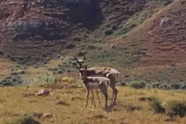
Where the Deer and the Antelope Play
From Kaycee, Wyoming, take Old Highway 87 south to where it crosses under I-25. It turns to dirt shortly after that, and you take TTT Road to West Willow Creek Road. West Willow Creek Road leads to this track. It's an easy trail through public lands where deer and antelope are plentiful. Beautif...
Learn more about Where the Deer and the Antelope Play
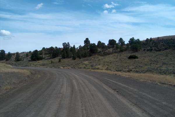
South Big Horn/Red Wall Scenic Backway
This designated Wyoming Scenic Backway makes a large semi-loop through the vastness of north-central Wyoming. It's a remarkable drive that crosses more than a hundred miles while catching the southern tail of the Bighorn Mountains. The lower elevations pass through oil patches before climbing higher...
Learn more about South Big Horn/Red Wall Scenic Backway
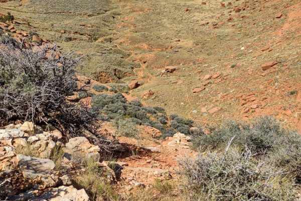
Hole In the Wall Overlook
This 40-mile trail starts in Kaycee, Wyoming, right off of I-25, and takes you to the canyon rim overlooking the Hole in the Wall Valley and Hole in the Wall Pass. You can stage in Kaycee and take Old Highway 87 south on the pavement to the underpass, which goes under I-25. From there, this track st...
Learn more about Hole In the Wall Overlook
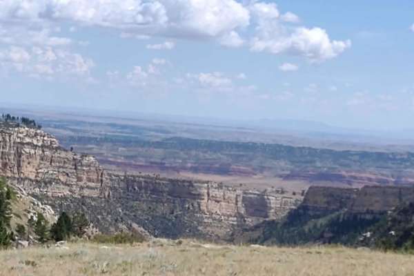
Outlaw Canyon Rim
From Outlaw Cave Campground/Hiking Trail, you go up to the rim of the canyon for a 6-mile ride. This trail offers spectacular views of Outlaw Canyon. If it's rained recently, the trail will be muddy. It's rocky in places, and parts of it are off-camber as you move along the sides of the hills abov...
Learn more about Outlaw Canyon Rim
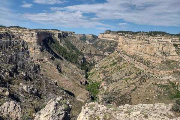
Outlaw Cave
This is an easy 9-mile trail using gravel roads leading to the Outlaw Cave Campground/parking area. From Kaycee, take Mayoworth Road west to Barnum Road. Take Barnum Road south to where it turns into dirt. You can stage around this area called Barnum, and then you take Barnum Mountain Road on this ...
Learn more about Outlaw Cave
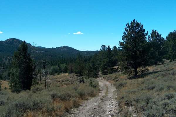
Big Bear Canyon/Devils Pass
Big Bear Canyon and its side trails around Devils Pass are among the best four-wheeling areas in the Laramie Mountains. Begin this trail system by fording LaBonte Creek on the south side of FR 658 and climb into a heavily-timbered canyon covered with ponderosa pines, quaking aspen, and massive bould...
Learn more about Big Bear Canyon/Devils Pass
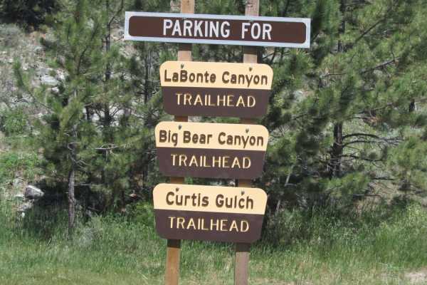
Labonte Canyon
The short trail through LaBonte Canyon is one of the most scenic motorized routes in the Laramie Mountains. This trip takes you through the riparian corridor of LaBonte Creek, bound by hills of granite and covered with apsens, shrubs, pines, and grassy meadows. The passage is rich with opportunities...
Learn more about Labonte Canyon
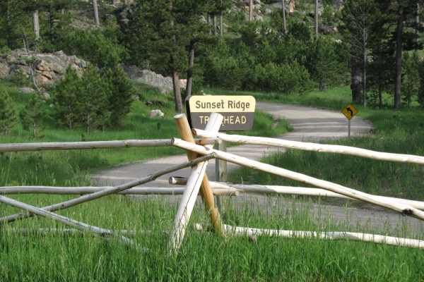
Sunset Ridge
This short ATV loop reaches the top of Sunset Ridge on the northern end of the Laramie Mountains where you'll find terrific views of the area's larger peaks and Wyoming's eastern plains. The loop begins in a pine forest and uses several tight switchbacks to gain the top of the ridge. From the rocky ...
Learn more about Sunset Ridge
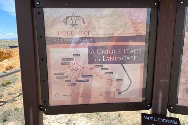
Castle Garden Road
Castle Garden Road is located just east of Moneta. Turn onto Castle Garden Road and continue until you see a sign to the left, and then it is five miles to the petroglyph site. You will not see the site until you travel down the hill and curve to the right. This is an in-and-out, driving time depend...
Learn more about Castle Garden Road
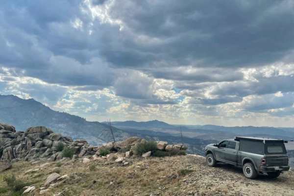
Black Mountain Lookout
Climb 1,700 feet of steep grades and switchbacks with loose rock, a few ledges, and boulders to the top of Black Mountain. At the summit is a historic fire lookout tower with a 360-degree view of the Laramie Peak unit of Medicine Bow-Routt National Forest. The beginning of this trail is an easement ...
Learn more about Black Mountain Lookout
ATV trails near Homa Hills, Wyoming
Explore ATV-friendly trails near you. These trails are accessible for vehicles up to 50 inches wide, perfect for ATVs and smaller off-road machines.
Where the Deer and the Antelope Play
From Kaycee, Wyoming, take Old Highway 87 south to where it crosses under I-25. It turns to dirt shortly after that, and you take TTT Road to West Willow Creek Road. West Willow Creek Road leads to this track. It's an easy trail through public lands where deer and antelope are plentiful. Beautif...
Learn more about Where the Deer and the Antelope Play
South Big Horn/Red Wall Scenic Backway
This designated Wyoming Scenic Backway makes a large semi-loop through the vastness of north-central Wyoming. It's a remarkable drive that crosses more than a hundred miles while catching the southern tail of the Bighorn Mountains. The lower elevations pass through oil patches before climbing higher...
Learn more about South Big Horn/Red Wall Scenic Backway
Hole In the Wall Overlook
This 40-mile trail starts in Kaycee, Wyoming, right off of I-25, and takes you to the canyon rim overlooking the Hole in the Wall Valley and Hole in the Wall Pass. You can stage in Kaycee and take Old Highway 87 south on the pavement to the underpass, which goes under I-25. From there, this track st...
Learn more about Hole In the Wall Overlook
Outlaw Canyon Rim
From Outlaw Cave Campground/Hiking Trail, you go up to the rim of the canyon for a 6-mile ride. This trail offers spectacular views of Outlaw Canyon. If it's rained recently, the trail will be muddy. It's rocky in places, and parts of it are off-camber as you move along the sides of the hills abov...
Learn more about Outlaw Canyon Rim
UTV/side-by-side trails near Homa Hills, Wyoming
Find UTV and side-by-side trails near you. These trails accommodate vehicles up to 60 inches wide, ideal for UTVs, side-by-sides, and wider off-road rigs.
Where the Deer and the Antelope Play
From Kaycee, Wyoming, take Old Highway 87 south to where it crosses under I-25. It turns to dirt shortly after that, and you take TTT Road to West Willow Creek Road. West Willow Creek Road leads to this track. It's an easy trail through public lands where deer and antelope are plentiful. Beautif...
Learn more about Where the Deer and the Antelope Play
South Big Horn/Red Wall Scenic Backway
This designated Wyoming Scenic Backway makes a large semi-loop through the vastness of north-central Wyoming. It's a remarkable drive that crosses more than a hundred miles while catching the southern tail of the Bighorn Mountains. The lower elevations pass through oil patches before climbing higher...
Learn more about South Big Horn/Red Wall Scenic Backway
Hole In the Wall Overlook
This 40-mile trail starts in Kaycee, Wyoming, right off of I-25, and takes you to the canyon rim overlooking the Hole in the Wall Valley and Hole in the Wall Pass. You can stage in Kaycee and take Old Highway 87 south on the pavement to the underpass, which goes under I-25. From there, this track st...
Learn more about Hole In the Wall Overlook
Outlaw Canyon Rim
From Outlaw Cave Campground/Hiking Trail, you go up to the rim of the canyon for a 6-mile ride. This trail offers spectacular views of Outlaw Canyon. If it's rained recently, the trail will be muddy. It's rocky in places, and parts of it are off-camber as you move along the sides of the hills abov...
Learn more about Outlaw Canyon Rim
The onX Offroad Difference
onX Offroad combines trail photos, descriptions, difficulty ratings, width restrictions, seasonality, and more in a user-friendly interface. Available on all devices, with offline access and full compatibility with CarPlay and Android Auto. Discover what you're missing today!
Open Trail Map