
Dirt Bike Trails
Near Hollygrove, West Virginia
Explore All Dirt Bike Trails Near Hollygrove, West Virginia
Dirt Bike Trails Near Hollygrove, West Virginia
Discover the best dirt bike trails near you. Browse trail maps, check difficulty ratings, and find your next adventure — whether you're looking for a quick ride or an all-day expedition.
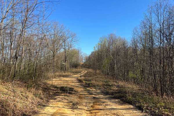
KC25A
KC25A is a short, wide spur trail off KC25 in the Kelly's Creek Sector of AOT. It leads up a relatively steep and rutted/washed hill to a grassy flat well site. Through the trees, you can see down to the town of Pratt to the south, just across the Kanawha River. The trail surface is primarily sandy ...
Learn more about KC25A
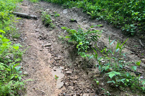
KC8
Kelly's Creek Trail 8 has two extremely steep hills (near vertical) and one very steep hill. It primarily follows a gas line right of way from Devil's Tea Table (KC6) to KC2A. The terrain is loose dirt and rocks, with the trees cut back wider than the two-track trail for the pipeline. There is low v...
Learn more about KC8
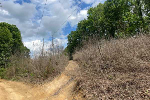
KC6A
Kelly's Creek Trail 6A "Devil's Tea Table" is an optional route that leaves and rejoins trail KC6. This trail does not bypass any significant obstacle or difficult section of KC6 but offers an alternative route in or out. This short trail has a mud hole, some ruts, and a relatively steep and slightl...
Learn more about KC6A
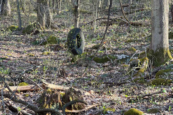
KC26
Kelly's Creek Trail 26 is an out-and-back adventure that starts out as a wide shelf road leading to a well site. It narrows as it continues into the forest beyond the well site, through some deep mud holes and around some minor rock obstacles. There are a few interesting off-trail features to look o...
Learn more about KC26

KC10
Kelly's Creek Trail 10 is a moderate-difficulty trail within the AOT. This route has a steep hill and an off-camber section, which is short but challenging. The trail surface is primarily loose dirt with some small rocks. A portion of the trail follows a gas line, but other than that area, it is a n...
Learn more about KC10
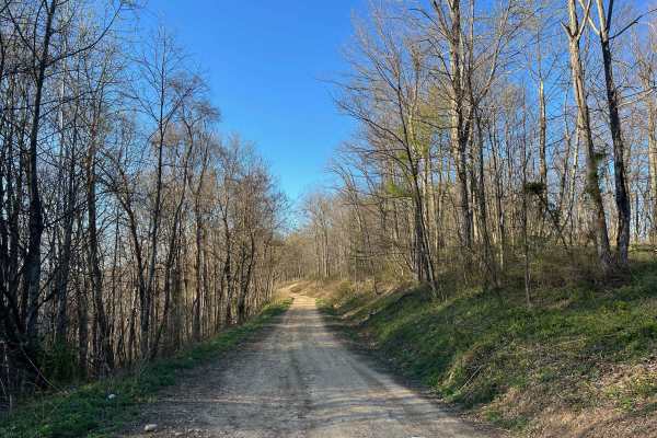
KC2
KC2 is an easy, relatively flat drive across a plateau in the Kelly's Creek Sector of AOT. The surface is primarily dirt, and there are frequently shallow ruts and small washes, as well as a few small mud holes. This trail is wide enough to pass carefully in many places throughout. It gives access t...
Learn more about KC2

KC1
KC1 is a main route into the Kelly's Creek Sector of AOT off of Kelly's Creek Road. From the pavement, the road passes a few residences before crossing into AOT property and becoming a trail. From there, it is a beautiful ride along the creek and up through the hollow. There is one creek crossing an...
Learn more about KC1
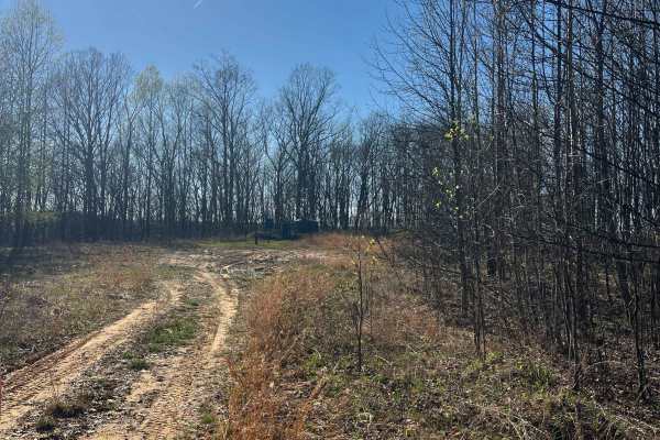
KC25
KC25 is an out-and-back adventure that begins at the multi-way intersection of KC1, KC2, KC10 & KC26. This narrow winding trail ultimately leads to a well site with a turnaround just beyond the AOT park boundary. A portion of the trail is a shelf road, and the majority of the surface is rutted, rock...
Learn more about KC25
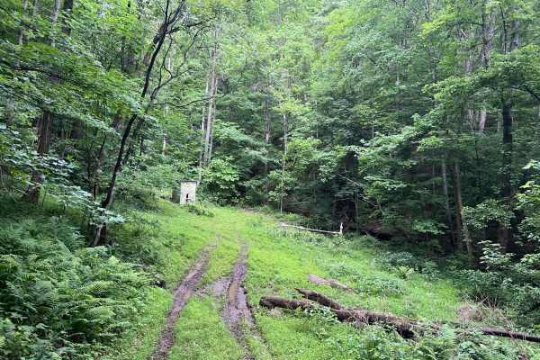
KC27C
KC27C is a short out-and-back spur trail off of KC27 in the Kelly's Creek Sector of AOT. Located to the left at the base of a long steep hill on KC27, making the sharp turn onto this trail may require a multi-point maneuver. The track is wide and smooth, with grass lining the shoulders and center. A...
Learn more about KC27C

KC2B
Kelly's Creek Trail 2B is an alternative to trail KC2A and can be used as another way to reach KC3 or KC2. This intermediate route includes two short, steep hills and an off-camber segment. The trail surface is primarily dirt with ruts and small rocks; there are a few sections prone to small washout...
Learn more about KC2B
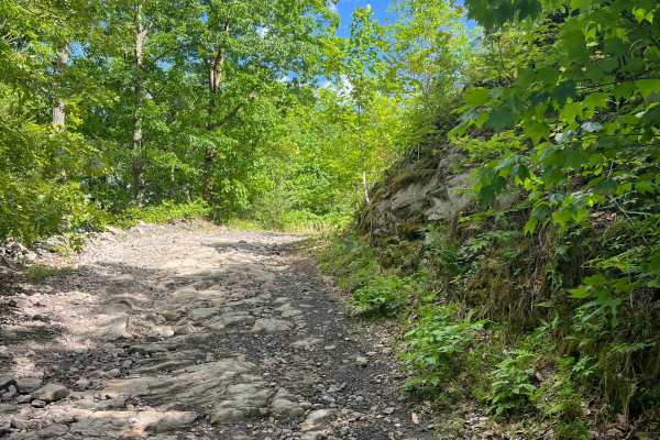
KC27
Kelly's Creek Trail 27 is a fun out-and-back adventure off of KC6 with a number of spur trails worth exploring. Relatively steep and rocky, the challenge increases on the return trip back up to the top. Trail surface towards the top (KC6) is a shale slab with minor ledges, giving way to a rocky dirt...
Learn more about KC27
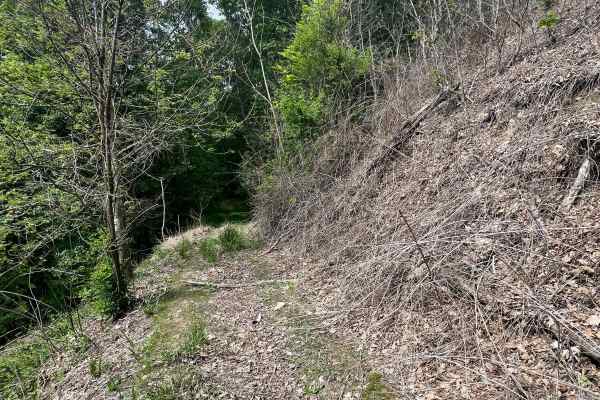
KC30
Kelly's Creek Trail 30 is an out-and-back adventure beginning at KC6, near the intersection of KC27. It starts off as a wide two-track trail, but quickly narrows as it becomes a shelf road shortly beyond where it intersects with KC8. The track passes below the Devil's Tea Table overlook at the end o...
Learn more about KC30
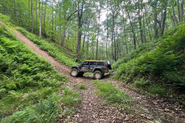
KC31
Kelly's Creek Trail 31 is a short connector between intermediate KC6 and difficult KC8. Primarily, it can be used as access to the low area of the steepest climbs on KC8, either as an exit if on KC8, or a more direct line to the hill climbs. This is an easy route with minimal obstacles, and it does ...
Learn more about KC31
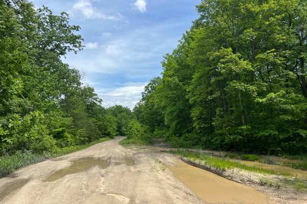
KC6 - Devil's Tea Table
Kelly's Creek Trail 6 "Devil's Tea Table" is a moderate difficulty trail within the AOT. This route has a relatively steep, rocky climb with small ledges that offer several line options. The trail surface is primarily dirt with ruts and rocks. There is one narrow section with deep ruts and high shou...
Learn more about KC6 - Devil's Tea Table
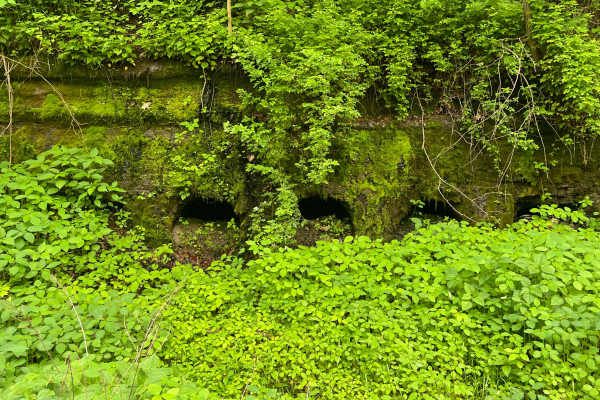
KC27B
KC27B is a short out-and-back spur trail off of KC27 in the Kelly's Creek Sector of AOT, marked by a row of moss-covered boreholes in the side of the rock at the trailhead. This relatively flat track has numerous curves following topography lines and can be riddled with mud and minor puddles from st...
Learn more about KC27B
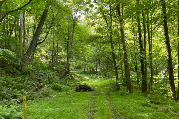
KC27A
KC27A is a short out-and-back spur trail off of KC27 in the Kelly's Creek Sector of AOT. A high leafy canopy and grassy forest floor make this a serene drive to a well site turnaround. The track is wide and smooth, with tall grass along the shoulders and center. Towards the end, topography becomes s...
Learn more about KC27A
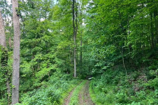
KC11
KC11 is an easy trail within a densely forested area of the Kelly's Creek Sector of AOT. This short spur trail is an out-and-back ride to a well site. The surface is primarily grassy dirt with some small rocks and minor washed ruts. Most of the route is a narrow shelf road with steep terrain on eith...
Learn more about KC11
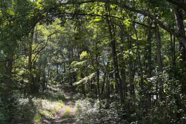
KC2C
KC2C is a short 0.2-mile wooded spur off KC2 at Appalachian Outlaw Trails. The route is narrow, shaded, and lightly overgrown in spots, with a dirt-and-rock surface, shallow ruts, exposed roots, and a short climb/descent through the trees. It gained about 81 feet and topped out near 1,581 feet. Ther...
Learn more about KC2C
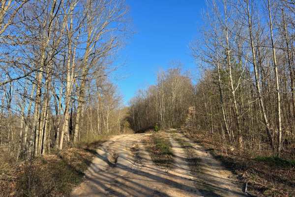
KC2A
Kelly's Creek Trail 2A is an easy alternative to KC2B and can be used as another way to reach KC3 or KC2. This easier route bypasses a short, steep climb and off-camber segment found on KC2B. The trail surface is primarily dirt with ruts and small rocks. There are several sections prone to small was...
Learn more about KC2A
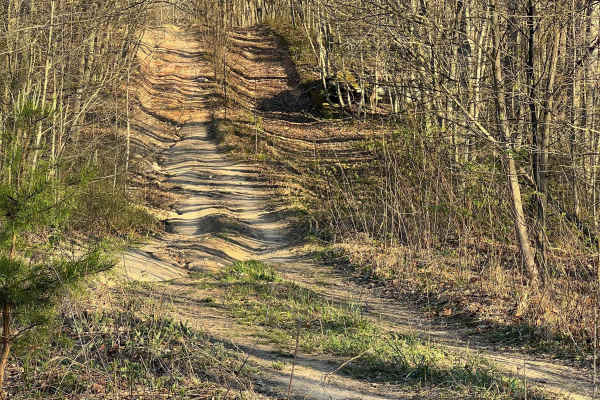
KC3
Kelly's Creek Trail KC3 is an easy but rugged drive in the Kelly's Creek Sector of AOT. The trail surface is primarily dirt with some short rocky hills and occasional shallow ruts, small washes, and small mud holes. The road is wide enough to pass carefully in many places. It gives access to a numbe...
Learn more about KC3
ATV trails near Hollygrove, West Virginia
Explore ATV-friendly trails near you. These trails are accessible for vehicles up to 50 inches wide, perfect for ATVs and smaller off-road machines.
KC25A
KC25A is a short, wide spur trail off KC25 in the Kelly's Creek Sector of AOT. It leads up a relatively steep and rutted/washed hill to a grassy flat well site. Through the trees, you can see down to the town of Pratt to the south, just across the Kanawha River. The trail surface is primarily sandy ...
Learn more about KC25A
KC8
Kelly's Creek Trail 8 has two extremely steep hills (near vertical) and one very steep hill. It primarily follows a gas line right of way from Devil's Tea Table (KC6) to KC2A. The terrain is loose dirt and rocks, with the trees cut back wider than the two-track trail for the pipeline. There is low v...
Learn more about KC8
KC6A
Kelly's Creek Trail 6A "Devil's Tea Table" is an optional route that leaves and rejoins trail KC6. This trail does not bypass any significant obstacle or difficult section of KC6 but offers an alternative route in or out. This short trail has a mud hole, some ruts, and a relatively steep and slightl...
Learn more about KC6A
KC26
Kelly's Creek Trail 26 is an out-and-back adventure that starts out as a wide shelf road leading to a well site. It narrows as it continues into the forest beyond the well site, through some deep mud holes and around some minor rock obstacles. There are a few interesting off-trail features to look o...
Learn more about KC26
UTV/side-by-side trails near Hollygrove, West Virginia
Find UTV and side-by-side trails near you. These trails accommodate vehicles up to 60 inches wide, ideal for UTVs, side-by-sides, and wider off-road rigs.
KC25A
KC25A is a short, wide spur trail off KC25 in the Kelly's Creek Sector of AOT. It leads up a relatively steep and rutted/washed hill to a grassy flat well site. Through the trees, you can see down to the town of Pratt to the south, just across the Kanawha River. The trail surface is primarily sandy ...
Learn more about KC25A
KC8
Kelly's Creek Trail 8 has two extremely steep hills (near vertical) and one very steep hill. It primarily follows a gas line right of way from Devil's Tea Table (KC6) to KC2A. The terrain is loose dirt and rocks, with the trees cut back wider than the two-track trail for the pipeline. There is low v...
Learn more about KC8
KC6A
Kelly's Creek Trail 6A "Devil's Tea Table" is an optional route that leaves and rejoins trail KC6. This trail does not bypass any significant obstacle or difficult section of KC6 but offers an alternative route in or out. This short trail has a mud hole, some ruts, and a relatively steep and slightl...
Learn more about KC6A
KC26
Kelly's Creek Trail 26 is an out-and-back adventure that starts out as a wide shelf road leading to a well site. It narrows as it continues into the forest beyond the well site, through some deep mud holes and around some minor rock obstacles. There are a few interesting off-trail features to look o...
Learn more about KC26
The onX Offroad Difference
onX Offroad combines trail photos, descriptions, difficulty ratings, width restrictions, seasonality, and more in a user-friendly interface. Available on all devices, with offline access and full compatibility with CarPlay and Android Auto. Discover what you're missing today!
Open Trail Map