
Dirt Bike Trails
Near Hahira, Georgia
Explore All Dirt Bike Trails Near Hahira, Georgia
Dirt Bike Trails Near Hahira, Georgia
Discover the best dirt bike trails near you. Browse trail maps, check difficulty ratings, and find your next adventure — whether you're looking for a quick ride or an all-day expedition.
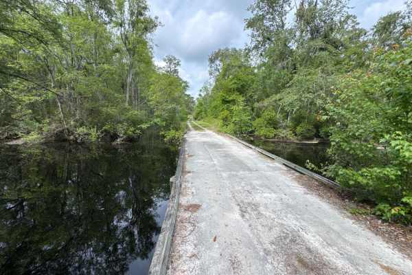
Little Suwannee Road - Osceola NF 291
The Little Suwannee Road, also known as Osceola National Forest Road 291, is a 12-mile road that starts at US-441. It takes you through the northwestern part of the Osceola National Forest from south to north and gives you access to several OHV trails. It's a dead-end road that ends shortly before t...
Learn more about Little Suwannee Road - Osceola NF 291
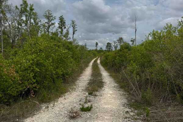
Birds Beak - Osceola NF 274
The Birds Beak Trail, also known as Osceola National Forest Road 274, is a 5-mile loop that starts and ends at the Little Suwannee Road. It takes you through the northwestern part of the Osceola National Forest and takes you along several beautiful creeks. The road conditions are a mixture of packed...
Learn more about Birds Beak - Osceola NF 274
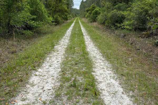
Mule Lot - Osceola NF 279
The Mule Lot Trail, also known as Osceola National Forest Road 279, is a 5-mile road that connects Little Suwannee Road at the north end and Sandhill Grade at the south end of the trail. It's the only road that connects the northwestern part of the Osceola National Forest with the main part. The roa...
Learn more about Mule Lot - Osceola NF 279
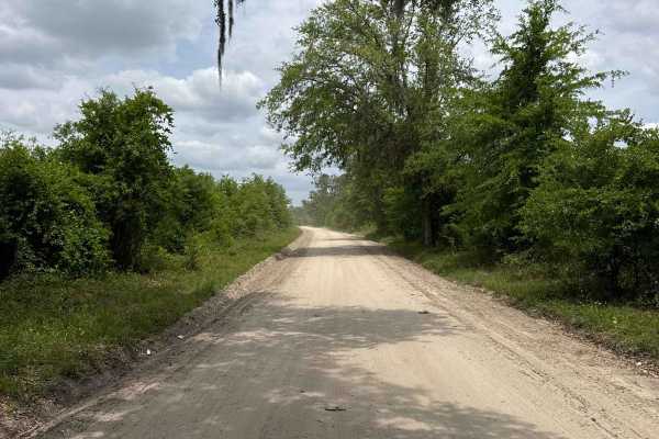
North East Needmore Road - Osceola NF
North East Needmore Road is a 5-mile road that starts at US-441 at the west end and FR 237 at the east end of the trail. It takes you through the northwestern part of the Osceola National Forest from west to east and gives you easy access to the main part of the forest. The road conditions are a mix...
Learn more about North East Needmore Road - Osceola NF
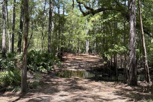
Little Shoals Trail
Little Shoals Trail takes you from US-41 to the Florida hiking trail Little Shoals in the Big Shoals State Park. The road conditions are a mixture of packed sand, loose sand, and some deep holes that can turn into 2 feet deep mud holes after rainy days. You're passing through a swamp area that is fl...
Learn more about Little Shoals Trail
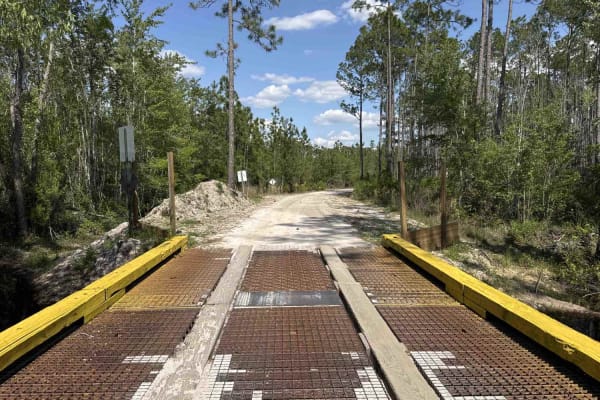
Sandhill Grade - Osceola NF 200
The Sandhill Grade Trail, also known as Osceola National Forest Road 200, is an 18-mile road that connects FR 237 at the west end and CR 250 at the east end. It takes you through the Osceola National Forest from west to east and gives you access to several OHV trails. Parts of the trail are in the J...
Learn more about Sandhill Grade - Osceola NF 200
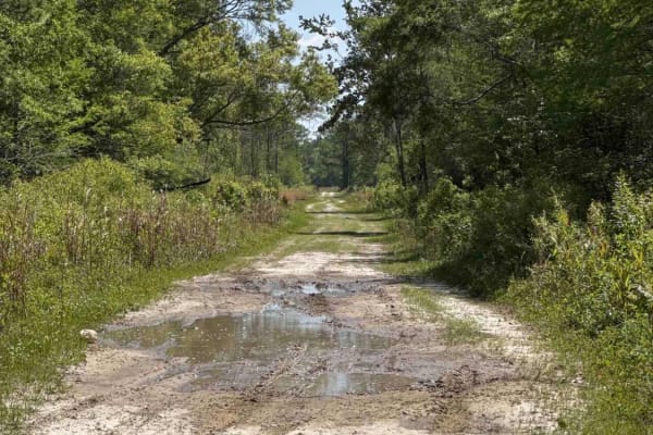
Grade 15 - Aucilla WMA
Grade 15 takes you through the southern part of the Aucilla Wildlife Management Area from north to south and gives you access to several hiking and biking trails. The road conditions are a mixture of packed sand, loose sand, some deep mud holes, and creek crossings. They can turn into 3 feet deep an...
Learn more about Grade 15 - Aucilla WMA

Church Grade Trail - Osceola NF 237
The Church Grade Trail, also known as Osceola National Forest Road 237, connects the Swamp Thing Trail at the north end and Greenfield Trail at the south end. It takes you through the Osceola National Forest from north to south. The road conditions are a mixture of packed sand, loose sand, some deep...
Learn more about Church Grade Trail - Osceola NF 237
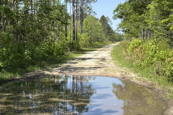
Grade 18.5 - Aucilla WMA
The Grade 18.5 takes you through the southern part of the Aucilla Wildlife Management Area from west to east and gives you access to several hiking and biking trails. The road conditions are a mixture of packed sand, loose sand, some deep mud holes, and creek crossings. They can turn into 3 feet dee...
Learn more about Grade 18.5 - Aucilla WMA
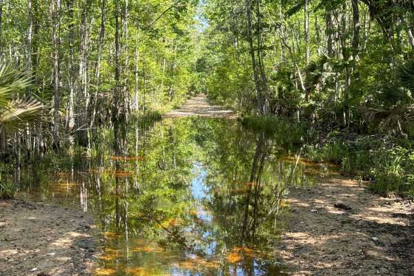
Firebreak 14 - Aucilla WMA
The Firebreak 14 takes you through the southern part of the Aucilla Wildlife Management Area and gives you access to several hiking and biking trails. The road conditions are a mixture of packed sand, loose sand, some deep mud holes, and creek crossings. They can turn into 3 feet deep and hundreds o...
Learn more about Firebreak 14 - Aucilla WMA
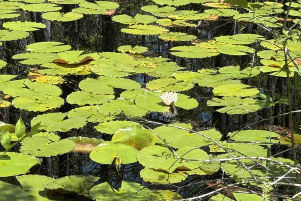
Grade 19.5 - Aucilla WMA
Grade 19.5 takes you through the southern part of the Aucilla Wildlife Management Area from west to east and gives you access to several hiking and biking trails. The road conditions are a mixture of packed sand, loose sand, some deep mud holes, and creek crossings. They can turn into 3 feet deep an...
Learn more about Grade 19.5 - Aucilla WMA
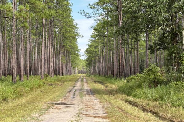
Old Jacksonville Rd - Osceola NF 263
The Old Jacksonville Road, also known as Osceola National Forest Road 263, connects Highway 441 at the west end and 250A at the south end. 250A takes you to the Ocean Pond, a public Boat Ramp, and the Ocean Pond Campground. The road conditions are a mixture of packed sand, loose sand, and some deep ...
Learn more about Old Jacksonville Rd - Osceola NF 263
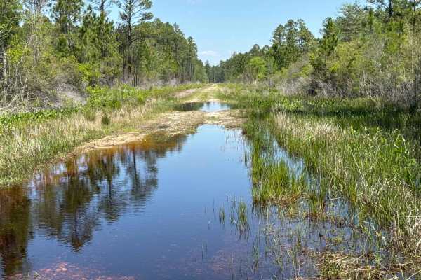
Gum Creek Road - Aucilla WMA
Gum Creek Road takes you through the southern part of the Aucilla Wildlife Management Area from north to south and gives you access to several hiking and biking trails. The road conditions are a mixture of packed sand, loose sand, some deep mud holes, and creek crossings. They can turn into 3 feet d...
Learn more about Gum Creek Road - Aucilla WMA
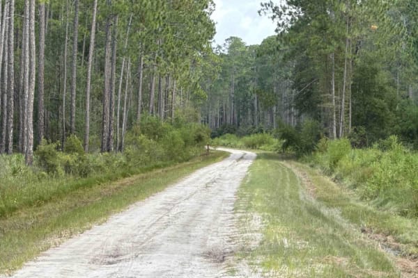
Mount Carrie - Osceola NF 234
The Mount Carrie Trail, also known as Osceola National Forest Road 234, is a 10-mile road that connects the Swamp Thing trail at the north end and CR 250 at the south end. It takes you through the Osceola National Forest from north to south and gives you access to several OHV trails. The road condit...
Learn more about Mount Carrie - Osceola NF 234
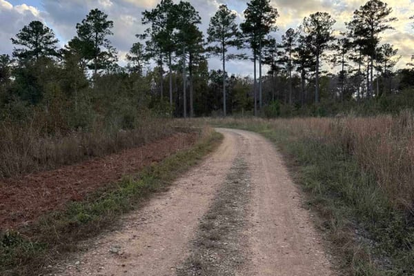
Mud Creek Road
The Mud Creek Road connects GA-62 at the north entrance and the Seven Bridge Road at the south end. The trail gives you access to the Gut Pit and several other trails in the Chickasawhatchee Wildlife Management Area. The road conditions are a mixture of packed sand, loose sand, and some deep holes t...
Learn more about Mud Creek Road
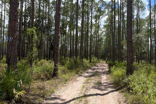
FS 263B
Osceola National Forest Road 263B connects Old Jacksonville Road at the south end and Greenfield at the north end. It takes you through the south part of the Osceola National Forest and gives you access to a few off-road trails in the area and the West Fire Tower Campground, which offers a restroom ...
Learn more about FS 263B
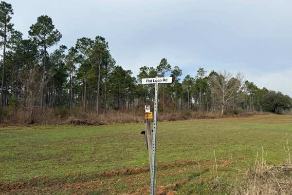
Flat Hole Loop
Flat Hole Loop runs through the southeastern quadrant of the Chickasawhatchee Wildlife Management Area (WMA). Only street-legal, registered, and licensed vehicles are permitted. Additionally, the Georgia Department of Natural Resources (GADNR) requires individuals to be in possession of the Georgia ...
Learn more about Flat Hole Loop
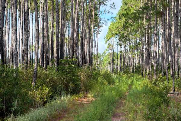
Huckle Buck - FS 223
Huckle Buck, also known as Osceola National Forest Road 223, connects The Water Park at the south end and Cobb‘s Place at the north end. It takes you through the north part of the Osceola National Forest and gives you access to a few trails next to the Impassable Bay and Buck Island Lake. The road c...
Learn more about Huckle Buck - FS 223
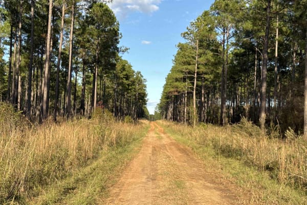
Pine Island Road
The Pine Island Road connects GA-62 at the north end and the Seven Bridge Road at the south end. The trail gives you access to the Mike Commander Shooting Range at the Chickasawhatchee Wildlife Management Area. The road conditions are a mixture of packed sand, loose sand, and some deep holes that ca...
Learn more about Pine Island Road
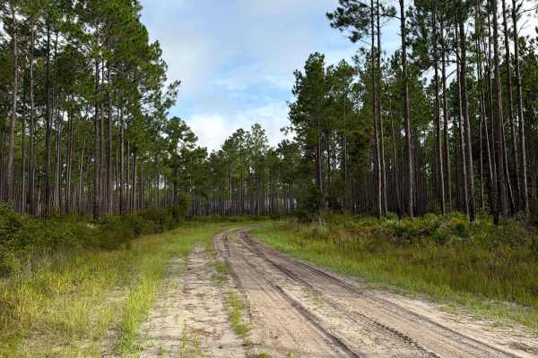
Cobb‘s Place - FS 235
Cobb‘s Place, also known as Osceola National Forest Road 235, connects The Swamp Thing at the south end and Sandhill Grade at the north end. It takes you through the north part of the Osceola National Forest and gives you access to several off-road trails in the area. The road conditions are a mixtu...
Learn more about Cobb‘s Place - FS 235
ATV trails near Hahira, Georgia
Explore ATV-friendly trails near you. These trails are accessible for vehicles up to 50 inches wide, perfect for ATVs and smaller off-road machines.
Little Suwannee Road - Osceola NF 291
The Little Suwannee Road, also known as Osceola National Forest Road 291, is a 12-mile road that starts at US-441. It takes you through the northwestern part of the Osceola National Forest from south to north and gives you access to several OHV trails. It's a dead-end road that ends shortly before t...
Learn more about Little Suwannee Road - Osceola NF 291
Birds Beak - Osceola NF 274
The Birds Beak Trail, also known as Osceola National Forest Road 274, is a 5-mile loop that starts and ends at the Little Suwannee Road. It takes you through the northwestern part of the Osceola National Forest and takes you along several beautiful creeks. The road conditions are a mixture of packed...
Learn more about Birds Beak - Osceola NF 274
Mule Lot - Osceola NF 279
The Mule Lot Trail, also known as Osceola National Forest Road 279, is a 5-mile road that connects Little Suwannee Road at the north end and Sandhill Grade at the south end of the trail. It's the only road that connects the northwestern part of the Osceola National Forest with the main part. The roa...
Learn more about Mule Lot - Osceola NF 279
North East Needmore Road - Osceola NF
North East Needmore Road is a 5-mile road that starts at US-441 at the west end and FR 237 at the east end of the trail. It takes you through the northwestern part of the Osceola National Forest from west to east and gives you easy access to the main part of the forest. The road conditions are a mix...
Learn more about North East Needmore Road - Osceola NF
UTV/side-by-side trails near Hahira, Georgia
Find UTV and side-by-side trails near you. These trails accommodate vehicles up to 60 inches wide, ideal for UTVs, side-by-sides, and wider off-road rigs.
Little Suwannee Road - Osceola NF 291
The Little Suwannee Road, also known as Osceola National Forest Road 291, is a 12-mile road that starts at US-441. It takes you through the northwestern part of the Osceola National Forest from south to north and gives you access to several OHV trails. It's a dead-end road that ends shortly before t...
Learn more about Little Suwannee Road - Osceola NF 291
Birds Beak - Osceola NF 274
The Birds Beak Trail, also known as Osceola National Forest Road 274, is a 5-mile loop that starts and ends at the Little Suwannee Road. It takes you through the northwestern part of the Osceola National Forest and takes you along several beautiful creeks. The road conditions are a mixture of packed...
Learn more about Birds Beak - Osceola NF 274
Mule Lot - Osceola NF 279
The Mule Lot Trail, also known as Osceola National Forest Road 279, is a 5-mile road that connects Little Suwannee Road at the north end and Sandhill Grade at the south end of the trail. It's the only road that connects the northwestern part of the Osceola National Forest with the main part. The roa...
Learn more about Mule Lot - Osceola NF 279
North East Needmore Road - Osceola NF
North East Needmore Road is a 5-mile road that starts at US-441 at the west end and FR 237 at the east end of the trail. It takes you through the northwestern part of the Osceola National Forest from west to east and gives you easy access to the main part of the forest. The road conditions are a mix...
Learn more about North East Needmore Road - Osceola NF
The onX Offroad Difference
onX Offroad combines trail photos, descriptions, difficulty ratings, width restrictions, seasonality, and more in a user-friendly interface. Available on all devices, with offline access and full compatibility with CarPlay and Android Auto. Discover what you're missing today!
Open Trail Map