
Dirt Bike Trails
Near Golconda, Illinois
Explore All Dirt Bike Trails Near Golconda, Illinois
Dirt Bike Trails Near Golconda, Illinois
Discover the best dirt bike trails near you. Browse trail maps, check difficulty ratings, and find your next adventure — whether you're looking for a quick ride or an all-day expedition.
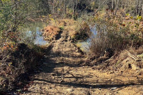
Open Ponds Trail
The Open Ponds trail can be accessed through the Blue Bird Trail or the east side of the Long Wall Access Trail. This trail traverses along ridges between a number of ponds, and through the valleys of strip hills. When approached from the north side, the Open Ponds Trail begins with a descent and cr...
Learn more about Open Ponds Trail
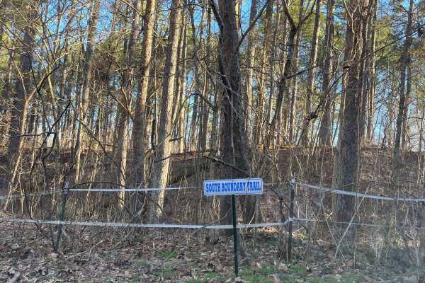
South Boundary Trail
The South Boundary Trail is one of the longest routes at the park. This trail can be accessed at the south end of the Rolling Hills trail and traverses along the park boundary to the east side of Old Highway 13. There is a large mixture of terrain, from small and large rocks to steep hills and deep ...
Learn more about South Boundary Trail
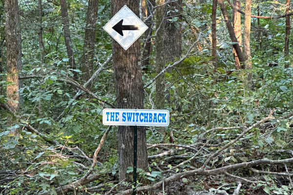
The Switchback
"The Switchback" (aka "Wooded Racetrack") is a 0.7-mile loop. You can access it from a few different trails, but the easiest is off of Old Highway 13. Once you see signs showing you where to enter, just follow the arrows. The most important part of this trail, since it is a loop, follow the arrows a...
Learn more about The Switchback
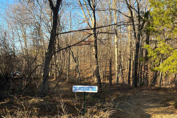
Overlook Trail
The Overlook Trail can be accessed from Old Route 13 beside the Powerline Trails or from the Amax Haul Road. This trail runs along the high wall of a strip pit and features a nice overlook with a bench at the top. Approached from the north side, the trail begins as an ascent up the high wall with a ...
Learn more about Overlook Trail

Amax Haul Road
The Amax Haul Road is the main north/south route at LEOR, delivering riders to several different trail adventures and other main routes throughout the park. The East Field Access Road reaches the north side of the Haul Road and can also be viewed from the overpass on Old Route 13 crossing it. From...
Learn more about Amax Haul Road

Rolling Hills Trail
The Rolling Hills Trail traverses through the pine forest to the south side of the park. This trail can be accessed by the Old Boundary Trail on the north side and the South Boundary Trail on the south side. Approached from the north, the terrain begins as mostly smooth rolling hills with mud holes ...
Learn more about Rolling Hills Trail
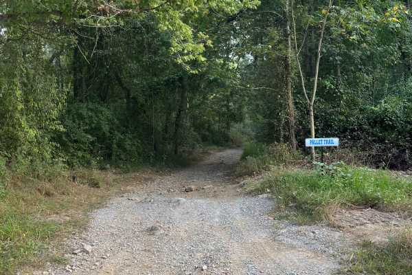
Pallet Trail
The Pallet Trail is one of the main routes through the south portion of the forest, and gives riders access to many secondary and tertiary routes. At the north side, this trail is accessed from Old Route 13 and begins with a mixture of gravel and dirt. The surface composition throughout the trail co...
Learn more about Pallet Trail
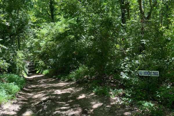
Old Boundary Trail
The Old Boundary Trail can be accessed through the Amax Trail, Roller Coaster Trail, Pallet Trail, and a few other tertiary routes. This trail was the former southern boundary of our park until the property expansion. It traverses through a portion of rolling hills, with some level spots periodicall...
Learn more about Old Boundary Trail
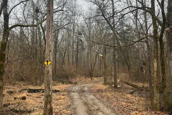
Family Trail
The Family Trail is a combination route of most of our main attractions in the park, without the extreme terrain on some of the tertiary routes. This route can be accessed at many locations but begins by our park entrance. The purpose of this trail is to provide a route for all ages of riders to enj...
Learn more about Family Trail
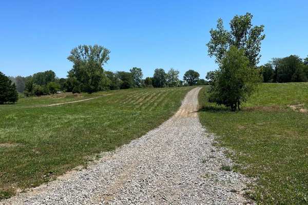
East Field Access Trail
The East Field access trail is the main route leading to the Haul Road. A few side trails are also accessible through this road, such as the Olive Trail, along with some short hill-climb crossover routes to Old Highway 13. The East Field trail is accessed through the east side of the campground, and...
Learn more about East Field Access Trail
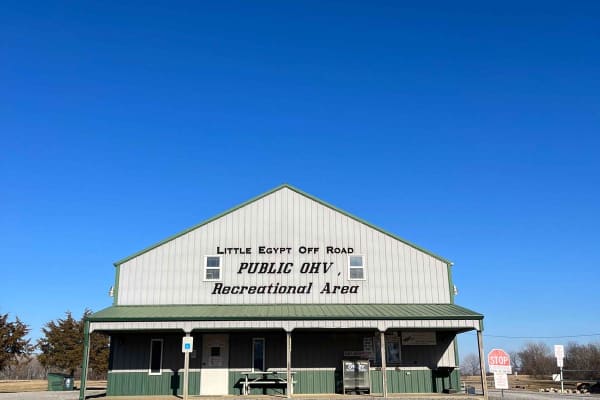
Little Egypt Off-Road OHV Park Entrance
Welcome to Little Egypt Off-Road OHV Park! Our hours of operation are 8 AM to 5 PM on Saturdays and Sundays, including most holidays. We offer over 50 miles of trails, from beginner access roads to challenging single-track, extending throughout our roughly 1000-acre park. Side-by-sides, ATVs, and d...
Learn more about Little Egypt Off-Road OHV Park Entrance
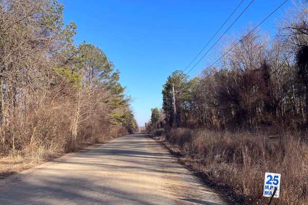
Old Highway 13
At Little Egypt Off Road, there's a 1.5-mile portion of the former Illinois Highway 13. This is one of the main access routes throughout the property, as it stretches the entire width of the park. The main feature of this route is the overpass across the Amax Haul Road. When following this road from...
Learn more about Old Highway 13
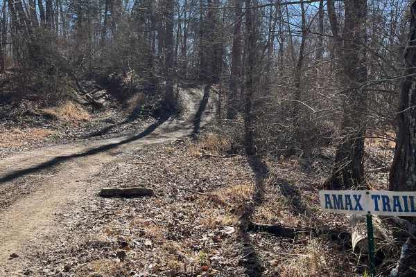
Amax Trail
The Amax Trail can be seen from the main gate to Little Egypt Off Road and is the westernmost main trail on the property. It traverses from alongside Old Route 13 to the Boundary Trail on the south end. The Amax Trail overlooks the creek bottoms that make up the southwest corner of the property, a g...
Learn more about Amax Trail
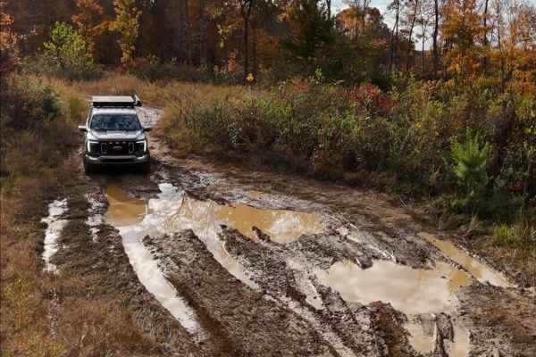
Brandon Chapel Overlook
Brandon Chapel Overlook is an old logging road that leads to a hilltop with a view of the Brandon Chapel area and Demumbers Bay, depending on the time of year. The road is rough in some spots, with deep ruts on the left as you ascend the hill. As you make it to the top of the hill, you will encounte...
Learn more about Brandon Chapel Overlook

Stephens Chapel Road - FSR 415
Stephens Chapel Road--415 is an extremely historic route that navigates directly to one of the last original standing structures within Land Between the Lakes National Recreation Area. The Road is a mix of dirt and gravel and is somewhat maintained. The church remains despite the 2021 tornadoes rava...
Learn more about Stephens Chapel Road - FSR 415

FSR 119
Forest Service Road 119 is a semi-maintained dirt and gravel road that connects FSR 112 and FSR 117 within the Land Between the Lakes National Recreation Area. It is on the northern portion of the park in the area known as 'Tornado Valley' after two tornadoes hit the park in 2021. The road is easily...
Learn more about FSR 119
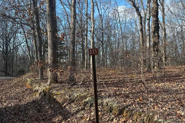
FSR - 321
Forest Service Road 321 is located in the northern half of Land Between the Lakes National Recreation Area off of Ironton Road - FSR 144. It is a dead-end road that is mostly gravel with a 1-2 foot deep creek crossing depending on recent weather, followed by a small incline. Leading up to the creek,...
Learn more about FSR - 321
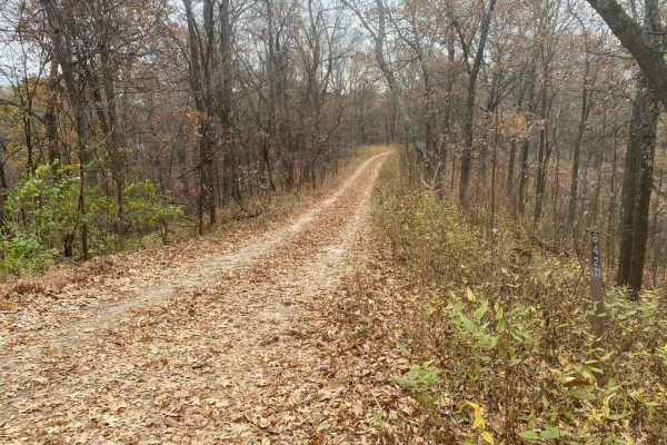
Bull Durham SFR 642
The Bull Durham SFR 642 is a branch trail of the Opossum Trot Trail System in Shawnee National Forest. The Bull Durham is quick to thrill with not much time in between its obstacles, it features a rutted hill within .2 mile of the entrance, followed by small mud puddles. Then, leading to a rutted co...
Learn more about Bull Durham SFR 642
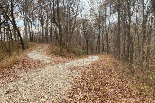
Turkey Trot FSR 627/643
The Turkey Trot (FSR 627) and FSR 643 are two trails that seamlessly connect to form one 2-mile trail inside the Opossum Trot Road trail system inside Shawnee National Forest. These trails together range from mild to hard. It starts with narrow rutted ridges with small mud pits and off-camber eroded...
Learn more about Turkey Trot FSR 627/643
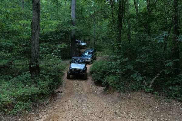
Mushroom Trail - 5 to C Shortcut
The Mushroom Trail, or 5 to C Shortcut, is a semi-maintained, gravel and dirt primary road, connecting road to road from the 6 to 5 Road to the Rock Garden - 6 to C Road in Turkey Bay OHV, within the Land Between the Lakes National Recreation Area. Its official ID is forestry M07. This is named the ...
Learn more about Mushroom Trail - 5 to C Shortcut
ATV trails near Golconda, Illinois
Explore ATV-friendly trails near you. These trails are accessible for vehicles up to 50 inches wide, perfect for ATVs and smaller off-road machines.
Open Ponds Trail
The Open Ponds trail can be accessed through the Blue Bird Trail or the east side of the Long Wall Access Trail. This trail traverses along ridges between a number of ponds, and through the valleys of strip hills. When approached from the north side, the Open Ponds Trail begins with a descent and cr...
Learn more about Open Ponds Trail
South Boundary Trail
The South Boundary Trail is one of the longest routes at the park. This trail can be accessed at the south end of the Rolling Hills trail and traverses along the park boundary to the east side of Old Highway 13. There is a large mixture of terrain, from small and large rocks to steep hills and deep ...
Learn more about South Boundary Trail
The Switchback
"The Switchback" (aka "Wooded Racetrack") is a 0.7-mile loop. You can access it from a few different trails, but the easiest is off of Old Highway 13. Once you see signs showing you where to enter, just follow the arrows. The most important part of this trail, since it is a loop, follow the arrows a...
Learn more about The Switchback
Overlook Trail
The Overlook Trail can be accessed from Old Route 13 beside the Powerline Trails or from the Amax Haul Road. This trail runs along the high wall of a strip pit and features a nice overlook with a bench at the top. Approached from the north side, the trail begins as an ascent up the high wall with a ...
Learn more about Overlook Trail
UTV/side-by-side trails near Golconda, Illinois
Find UTV and side-by-side trails near you. These trails accommodate vehicles up to 60 inches wide, ideal for UTVs, side-by-sides, and wider off-road rigs.
Open Ponds Trail
The Open Ponds trail can be accessed through the Blue Bird Trail or the east side of the Long Wall Access Trail. This trail traverses along ridges between a number of ponds, and through the valleys of strip hills. When approached from the north side, the Open Ponds Trail begins with a descent and cr...
Learn more about Open Ponds Trail
South Boundary Trail
The South Boundary Trail is one of the longest routes at the park. This trail can be accessed at the south end of the Rolling Hills trail and traverses along the park boundary to the east side of Old Highway 13. There is a large mixture of terrain, from small and large rocks to steep hills and deep ...
Learn more about South Boundary Trail
The Switchback
"The Switchback" (aka "Wooded Racetrack") is a 0.7-mile loop. You can access it from a few different trails, but the easiest is off of Old Highway 13. Once you see signs showing you where to enter, just follow the arrows. The most important part of this trail, since it is a loop, follow the arrows a...
Learn more about The Switchback
Overlook Trail
The Overlook Trail can be accessed from Old Route 13 beside the Powerline Trails or from the Amax Haul Road. This trail runs along the high wall of a strip pit and features a nice overlook with a bench at the top. Approached from the north side, the trail begins as an ascent up the high wall with a ...
Learn more about Overlook Trail
The onX Offroad Difference
onX Offroad combines trail photos, descriptions, difficulty ratings, width restrictions, seasonality, and more in a user-friendly interface. Available on all devices, with offline access and full compatibility with CarPlay and Android Auto. Discover what you're missing today!
Open Trail Map