
Dirt Bike Trails
Near Elm Springs, Arkansas
Explore All Dirt Bike Trails Near Elm Springs, Arkansas
Dirt Bike Trails Near Elm Springs, Arkansas
Discover the best dirt bike trails near you. Browse trail maps, check difficulty ratings, and find your next adventure — whether you're looking for a quick ride or an all-day expedition.
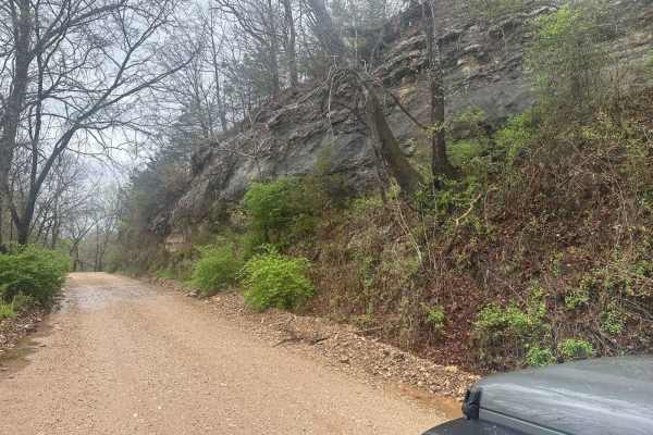
Bluff Run
Bluff Run gets its name from the countless beautiful bluffs, rock faces, and rock formations you will see along the way. This trail is part of the Green Country Oklahoma Adventure Tour (GOAT), which comprises mainly dirt roads with short bits of connecting pavement where necessary. This is an easy r...
Learn more about Bluff Run
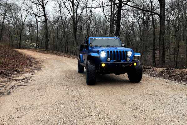
North Old Wire Road
The route is approx 2.4 miles, which is one way of easy, well-maintained gravel roads. The route travels north to south along the far east side of the Pea Ridge National Military Park and can be driven in either direction If you are traveling south to north. It begins at N. Old Wire Rd and Alvin Se...
Learn more about North Old Wire Road
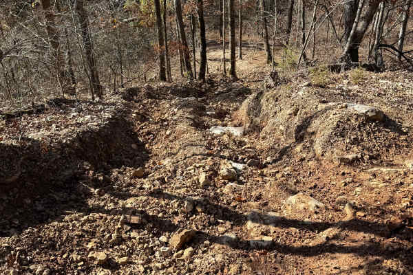
Red Green 175
Red Green 175 is a trail that is pretty easy but has an optional hard line. This is a non-directional trail so you can run it from either direction. The hard line is the farthest line choice to the east that connects to Red 17. The other line choice that connects to Red 17 is the easier line to exit...
Learn more about Red Green 175
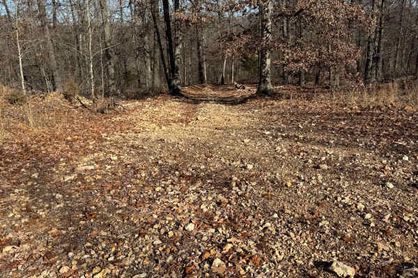
Yellow 324
Yellow 324 is a non-directional trail that is located on the southwestern end of the park. You can run this trail from either direction. Yellow 324 is connected to Green 25 at the top. At the bottom, it meets with Hang Over Falls 180, Yellow 26, and Yellow 27. You will also have access to Glenn's De...
Learn more about Yellow 324
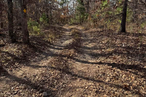
Green 174
Green 174 is a non-directional trail located at the farthest south end of the park. You can run it from either direction. This is one of those trails that is a scenic drive through the trees. It connects to Green 25 at one end and Red 17 at the other end.
Learn more about Green 174
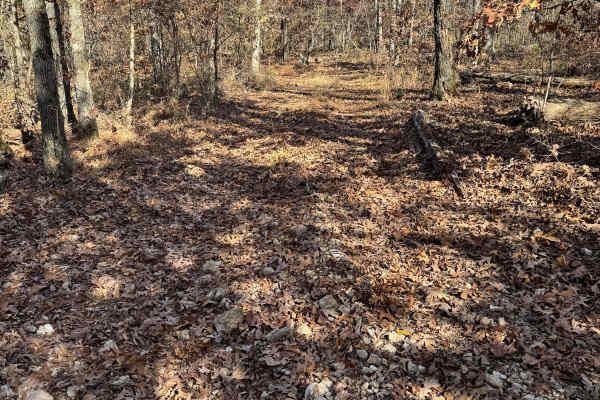
Yellow 171
Yellow 171 is located at the farthest southern area of the park. This is a non-directional trail so you can run it from either direction. It connects to Red 17 at one end and Green 25 at the other end. You will also pass by Yellow 173 and Green 172 along this trail.
Learn more about Yellow 171
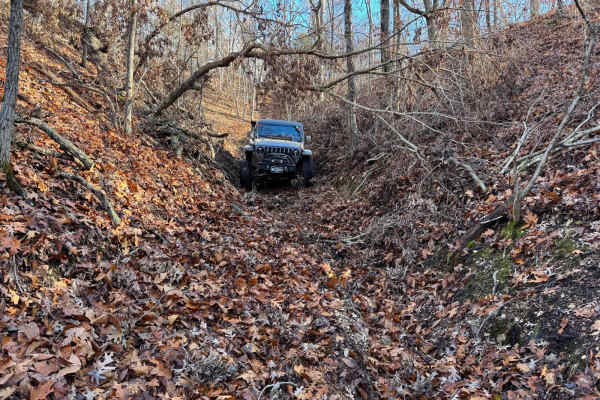
Red 323
Red 323 is a non-directional trail that is located on the southwestern corner of the park. You can run this trail from either direction. Red 323 is connected to Red 170 at the bottom and Yellow 171 at the top. There are no other direct connecting trails to this one.
Learn more about Red 323
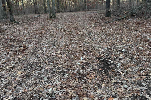
Green 318
Green 318 is a non-directional trail that is located on the southern end of the park. You can run this trail from either direction. Green 318 is connected to Green 25 at one end and Yellow 324 at the other end. This trail also meets up with Glenn's Demise 325.
Learn more about Green 318
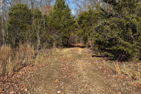
Green 326
Green 326 is a non-directional trail that is located on the southern end of the park. You can run this trail from either direction. Green 326 is connected to Yellow 31 at one end and to where Yellow 330 meets with Red 331. There are no other direct connecting trails from this one.
Learn more about Green 326
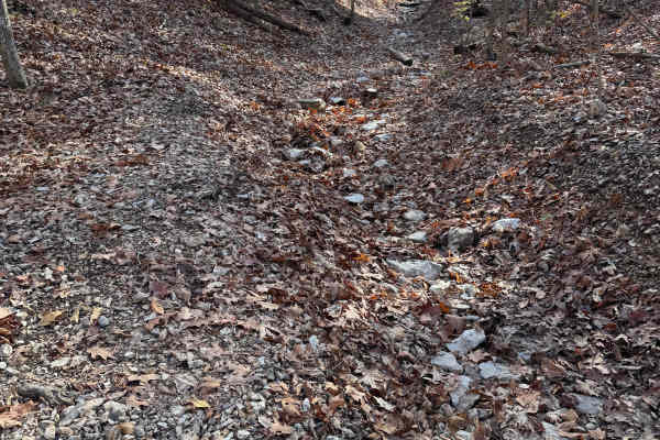
Red 170
Red 170 is located in the southwestern part of the park. It is a non-directional trail so you can run it from either direction. It connects to Yellow 169 at one end and Red 17 at the other end. There is one other spur trail that you can access from this point if you want to.
Learn more about Red 170
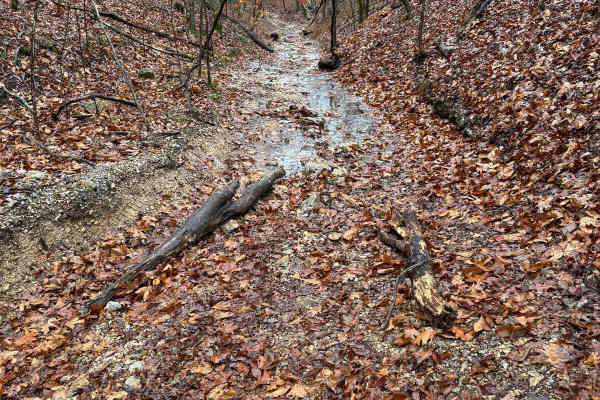
Yellow 302
Yellow 302 is a non-directional creek bed-type trail that is located on the southwestern corner of the park. You can run this trail from either direction. Yellow 302 is connected to Red 17 at one end and a junction where it meets with Yellow 169, Red 170, and Red 322.
Learn more about Yellow 302
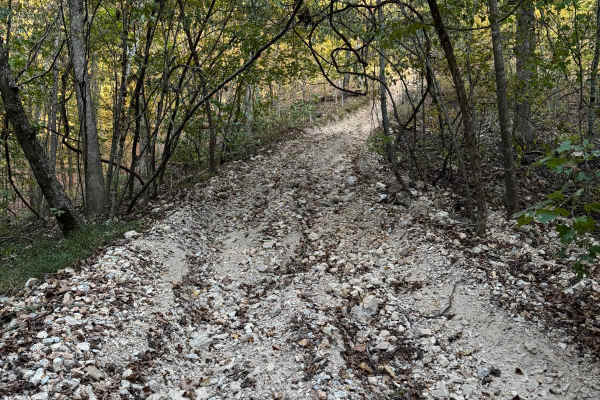
Yellow 27
Yellow 27 is located at the most southern end of the park. This a non-directional trail but is best run going down. This trail connects to a junction or hub at the bottom where you can go to other trails on the left or right, or you can continue straight through onto Yellow 26.
Learn more about Yellow 27
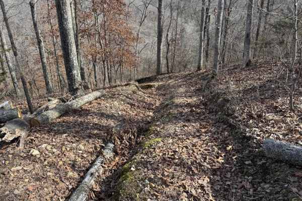
Red 374
Red 374 is located on the farthest southern end of the park. It starts up on the top of a bluff where it connects to Red 378. At the bottom it connects to Creek bed 12. This trail is non directional, so you can run it from either direction. There are no other direct connecting trails to this one.
Learn more about Red 374
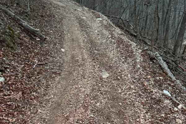
Yellow 356
Yellow 356 is a non-directional trail that is located on the southeastern corner of the park. You can run this trail from either direction. Yellow 356 is connected to Power Line Climb at the top and Austin's Corner 353 at the bottom. There are a handful of other trails that connect to this one.
Learn more about Yellow 356
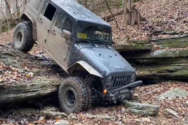
Hang Over Falls 180
Hang Over Falls 180 is located in the southern region of the park. It is a non-directional trail so you can run it from either direction. It connects to Creek Bed 12 at one end and Yellow 27 at the other end. There is an optional harder line at the bottom of this trail.
Learn more about Hang Over Falls 180
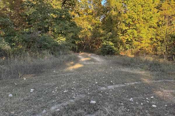
Yellow 26
Yellow 26 is located off of Green 25 on the far southern end of the park. This is a non-directional trail but would be easier going down. At the bottom of this trail is a little junction or hub area where you can continue to trails on the left or the right, or you can continue straight through onto ...
Learn more about Yellow 26
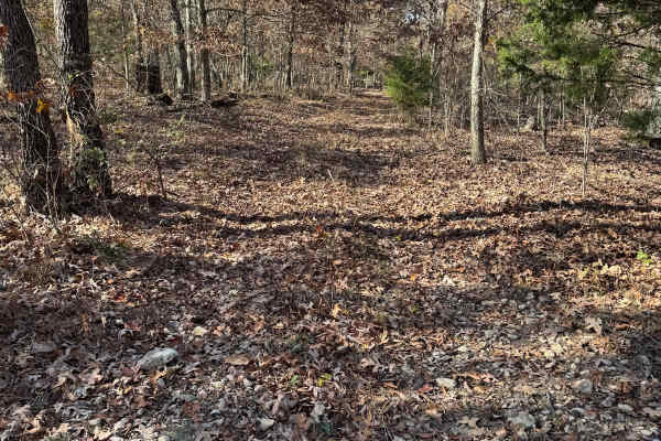
Green 172
Green 172 is located at the farthest area of the park. This is a shorter trail that connects to other trails like Yellow 171 and others at one end and Green 25 at the other end. This is a non-directional trail so you can run it from either direction.
Learn more about Green 172
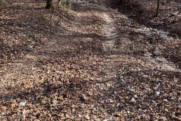
Yellow 176
Yellow 176 is a non-directional trail that is located in the farthest southwestern area of the park. You can run this trail from either direction. This trail has 3 points to enter or exit at and all of which connect to Red 17. You may see some Armadillos as you travel along this trail.
Learn more about Yellow 176
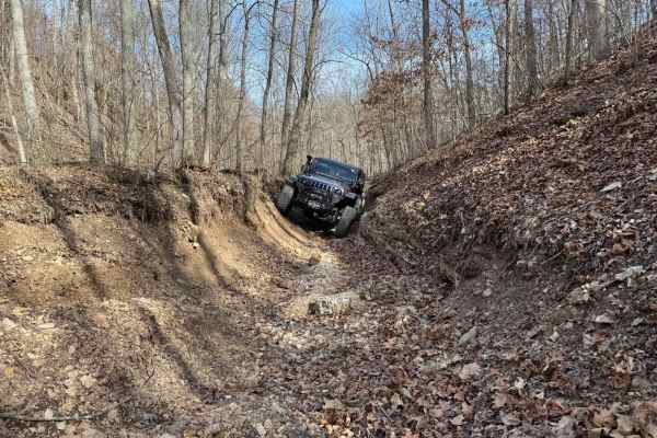
Green 370
Green 370 is located on the southeastern corner of the park. This is a non directional trail so you can run it from either direction. At one end this trail connects to Creek Bed 12. While at the other end it connects to Morgans Creek 377 and Green 376. It also connects to Green 375 the closer you ar...
Learn more about Green 370
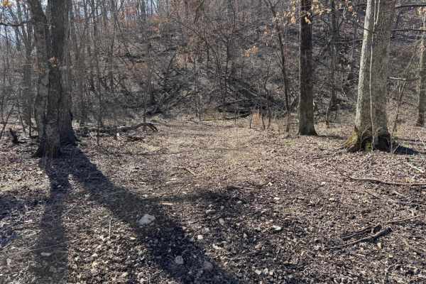
Green 375
Green 375 is located at the southeastern corner of the park. This is a non directional trail so you can run it from either direction. Green 375 is connected to Creek Bed 12 at one end and Green 370 at the other end. There are no other direct connecting trails to this one.
Learn more about Green 375
ATV trails near Elm Springs, Arkansas
Explore ATV-friendly trails near you. These trails are accessible for vehicles up to 50 inches wide, perfect for ATVs and smaller off-road machines.
North Old Wire Road
The route is approx 2.4 miles, which is one way of easy, well-maintained gravel roads. The route travels north to south along the far east side of the Pea Ridge National Military Park and can be driven in either direction If you are traveling south to north. It begins at N. Old Wire Rd and Alvin Se...
Learn more about North Old Wire Road
Red Green 175
Red Green 175 is a trail that is pretty easy but has an optional hard line. This is a non-directional trail so you can run it from either direction. The hard line is the farthest line choice to the east that connects to Red 17. The other line choice that connects to Red 17 is the easier line to exit...
Learn more about Red Green 175
Yellow 324
Yellow 324 is a non-directional trail that is located on the southwestern end of the park. You can run this trail from either direction. Yellow 324 is connected to Green 25 at the top. At the bottom, it meets with Hang Over Falls 180, Yellow 26, and Yellow 27. You will also have access to Glenn's De...
Learn more about Yellow 324
Green 174
Green 174 is a non-directional trail located at the farthest south end of the park. You can run it from either direction. This is one of those trails that is a scenic drive through the trees. It connects to Green 25 at one end and Red 17 at the other end.
Learn more about Green 174
UTV/side-by-side trails near Elm Springs, Arkansas
Find UTV and side-by-side trails near you. These trails accommodate vehicles up to 60 inches wide, ideal for UTVs, side-by-sides, and wider off-road rigs.
Bluff Run
Bluff Run gets its name from the countless beautiful bluffs, rock faces, and rock formations you will see along the way. This trail is part of the Green Country Oklahoma Adventure Tour (GOAT), which comprises mainly dirt roads with short bits of connecting pavement where necessary. This is an easy r...
Learn more about Bluff Run
North Old Wire Road
The route is approx 2.4 miles, which is one way of easy, well-maintained gravel roads. The route travels north to south along the far east side of the Pea Ridge National Military Park and can be driven in either direction If you are traveling south to north. It begins at N. Old Wire Rd and Alvin Se...
Learn more about North Old Wire Road
Red Green 175
Red Green 175 is a trail that is pretty easy but has an optional hard line. This is a non-directional trail so you can run it from either direction. The hard line is the farthest line choice to the east that connects to Red 17. The other line choice that connects to Red 17 is the easier line to exit...
Learn more about Red Green 175
Yellow 324
Yellow 324 is a non-directional trail that is located on the southwestern end of the park. You can run this trail from either direction. Yellow 324 is connected to Green 25 at the top. At the bottom, it meets with Hang Over Falls 180, Yellow 26, and Yellow 27. You will also have access to Glenn's De...
Learn more about Yellow 324
The onX Offroad Difference
onX Offroad combines trail photos, descriptions, difficulty ratings, width restrictions, seasonality, and more in a user-friendly interface. Available on all devices, with offline access and full compatibility with CarPlay and Android Auto. Discover what you're missing today!
Open Trail Map