
Dirt Bike Trails
Near Deary, Idaho
Explore All Dirt Bike Trails Near Deary, Idaho
Dirt Bike Trails Near Deary, Idaho
Discover the best dirt bike trails near you. Browse trail maps, check difficulty ratings, and find your next adventure — whether you're looking for a quick ride or an all-day expedition.
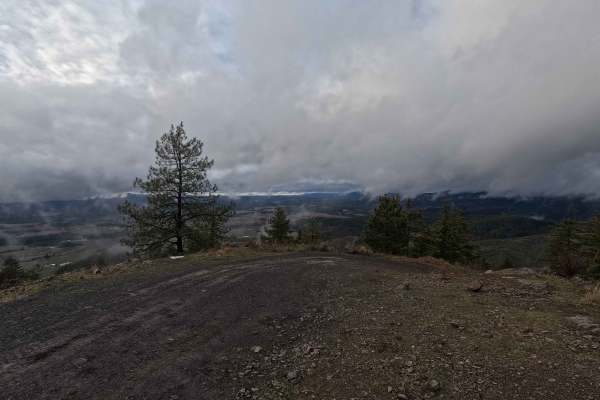
Potato Hill Road - Trail 783
Potato Hill Road is a 2-mile out-and-back trail ascending from Main Street in Deary to the summit of the officially named Potato Hill, locally known as Spud Hill, at an elevation of 4017 feet. The trail begins as a narrow gravel road and progressively transitions into a tight, rutted, and steep rout...
Learn more about Potato Hill Road - Trail 783
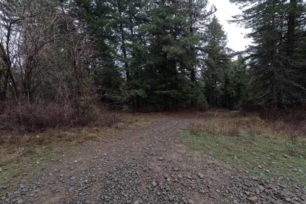
Potato Hill Connector
Potato Hill Connector is a 1.2-mile point-to-point trail connecting Potato Hill Road (Trail 783) with Brush Creek (Trail 289). Starting from the west, the trail begins as a narrow double-track before quickly becoming heavily rutted and off-camber. At 0.25 miles, a cattle guard with posts approximate...
Learn more about Potato Hill Connector
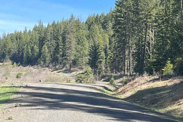
Cherry Butte Lower Road
This is an easy ride off the Brush Creek main road, around a gate that is 50 inches wide, maximum. The road past the gate is a logging road that winds through clear cuts. The road has runoff ridges along the way. This trail takes the lower road around Cherry Butte and dead-ends 5.6 miles up and back...
Learn more about Cherry Butte Lower Road
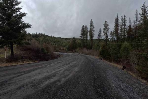
Brush Creek - Trail 289
Brush Creek is a 2.7-mile out-and-back gravel road following a creek of the same name. The route terminates at a gate with a 50-inch width restriction located just past a three-way intersection. The final section of the trail transitions from gravel to dirt, which becomes slick, soft mud in wet cond...
Learn more about Brush Creek - Trail 289
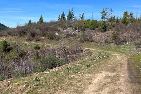
Bing Cherry Trail
Off Cherry Butte Road, this is an older logging road through clearcut until it turns into more of a trail on Forest Service Road 3850 to Bing Cherry. It connects at the other end to Vasser Meadow Road. It's an overall easy ride. Two parts of the trail are narrower and brushy before meeting back up w...
Learn more about Bing Cherry Trail
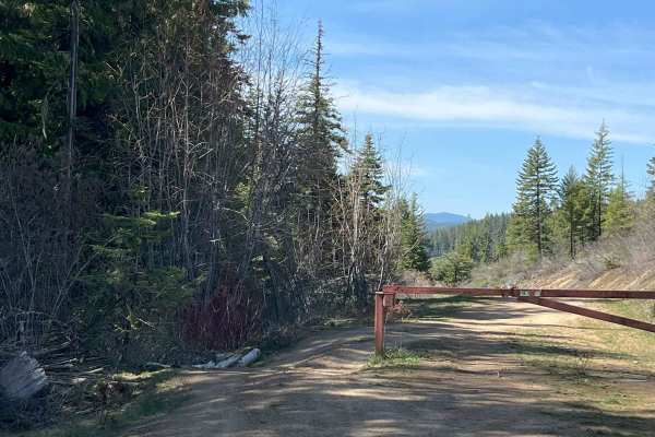
End of Brush Creek Road
Start at the end of Brush Creek Road around the gate and take it to the end of the road. Part of the route goes up and over the hill to the end of the road and the other part takes a lower road to end at private property. It's an easy 7.4-mile ride up and back on old logging roads with runoff ridges...
Learn more about End of Brush Creek Road
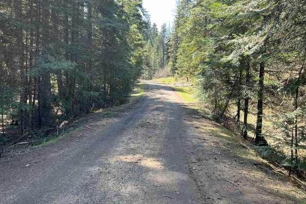
East Fork Big Bear Creek
This trail is just over 5 miles one way on an old logging road. One spot is a steeper narrow area. It's an overall easy ride with many additional trails off it. Gates on both sides are 50 inches wide or less. You'll travel on Forest Service 4707 East Fork Big Bear Creek. Expect water puddles if ridi...
Learn more about East Fork Big Bear Creek
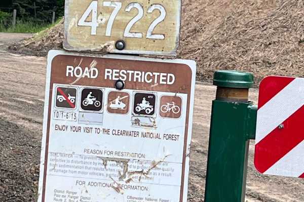
Little Bolder - FS 4772
Forest service road 4772 gated road for 50 inch or less. Parking area nearby and the Little Bolder campground, along with pit toilets. Rock dirt road with lots of spur roads to go on off this main road. Watch for logging activity at the time of logging the trail. This is an old logging road that has...
Learn more about Little Bolder - FS 4772
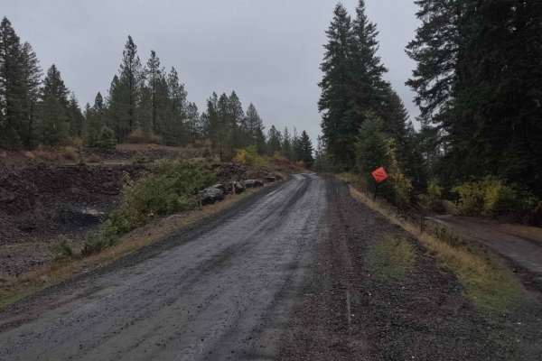
Schoolhouse Gulch - FS 4761
Schoolhouse Gulch is a 7-mile out-and-back trail that starts near Little Boulder Campground. It is a slow and steady climb for its entire length, ending at a small clearing. The road surface is mostly smooth gravel, with a few sections of slick mud after a rain. There are a couple of areas where the...
Learn more about Schoolhouse Gulch - FS 4761
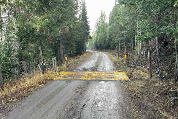
Potlatch River - FS 3332
Potlatch River is a 3.5-mile point-to-point power-line road that starts at the end of Fork Rd on the southwest side, snaking up through a section of the Clearwater National Forest before breaking out into a clearing and following power lines for the rest of its length, connecting with ID8 just south...
Learn more about Potlatch River - FS 3332
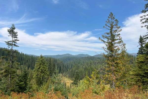
Tree Line Ride
This is a gated side logging road off Main 381 Road. It is 3 miles one way and took about 1 hour total to ride. This is a Moscow dirt road with grass growing in the middle. The grass increased as we went along. The road runs along the side of the hills and the vegetation changes. There are lots of v...
Learn more about Tree Line Ride
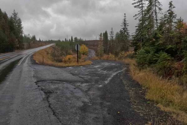
Dinner Bucket Ridge - FS 1444
Dinner Bucket Ridge is a 4.9-mile point-to-point gravel road that, when starting from the north, begins at ID3, winding its way through Clearwater National Forest land before ending at an intersection with Forks Rd. Dinner Bucket Ridge is a wide, smooth gravel road with many places to pass. Note tha...
Learn more about Dinner Bucket Ridge - FS 1444
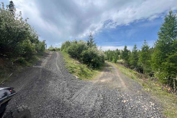
Dinner Bucket Road
Dinner bucket road for 2 2-mile ride one way. Potlatch permit required. At the Y of Forest Service Road 4772. The road is dirt/rock and is an old logging road that runs along a ridge off Park Road. This is usually gated for 50 inch or smaller, but currently the gate is down off the Park road side. I...
Learn more about Dinner Bucket Road
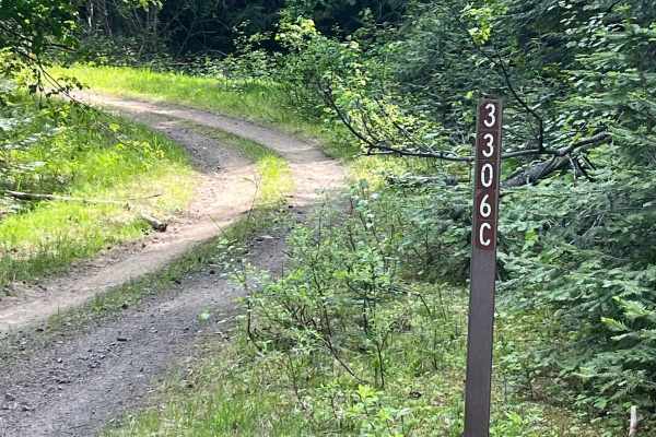
Forest Service Road 3306C
Forest Service Road 3306C off of 4772. 1.8 miles one way, Dirt track through the woods. It is an easy ride, except it is narrow in some places due to overgrowth and downed trees that are over part of the old logging road. Climb up through trees and drop back down into the clear-cut area. Part of thi...
Learn more about Forest Service Road 3306C
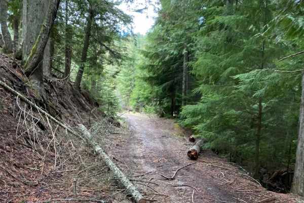
Boundary Point
This trail runs through timbered areas, with a good portion running through thick darker timbered areas making for a neat experience. This trail is not highly maintained so there is a fair amount of brush on either side of the trail in some portions. Expect to cross over and under blown-down trees. ...
Learn more about Boundary Point
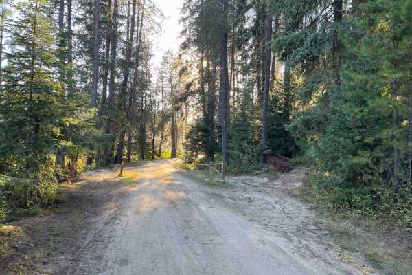
Moose Creek Campground Cutoff
This is a connector road from the end of the Moose Creek Reservoir Campground to the main road 381. There is a gate on the campground side that might be closed, but no gate on the 381 roadside. High clearance is needed as there are some big potholes in the road. This is a dirt road that runs along t...
Learn more about Moose Creek Campground Cutoff
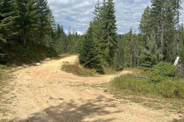
Moose Creek Lower Road Track
From the Y, the lower road continues 1.4 miles behind a 50" gate off the main road. At the second Y, take the upper road. The lower route leads to Moose Creek camping areas, with pit toilets and tables available off-track. The upper road follows the reservoir and is generally easy, with some humps a...
Learn more about Moose Creek Lower Road Track
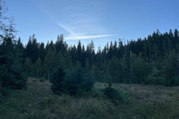
Moose Creek Spur
This spur road is not far from the Moose Creek Reservoir. This is a narrow grassy spur road off of main 381 road. This trail is a great place to get off the busier road see some wildlife and drive through younger tree growth. There are large dips in the road so UTV/ATV is recommended. This is an Ida...
Learn more about Moose Creek Spur
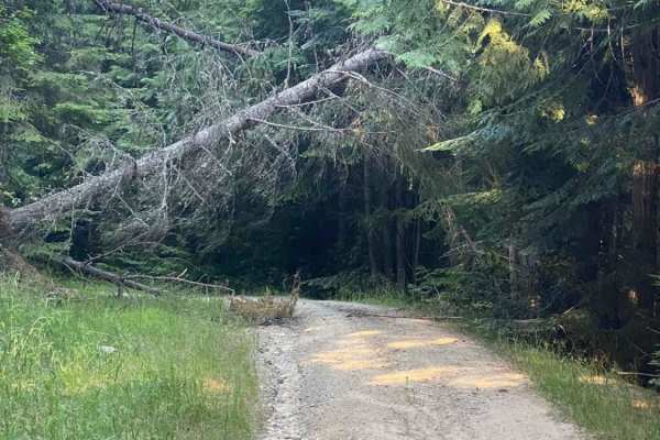
Little Bear
Little Bear is a nice short trail that connects Ruby Creek Trail to Flat Creek Trail. This trail has some deep water ruts and a fair amount of rock in the trail. This dirt trail is almost entirely a climb/descent from start to finish, with some great banked corners that make for a short, fun ride.
Learn more about Little Bear
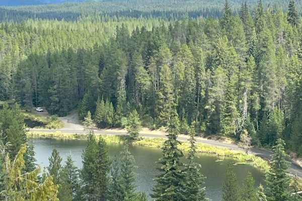
Lake Overlook Track
There are two short spur roads at this intersection. One is a 1/2 mile Spur road that is a short ride, but the view of Moose Creek reservoir at the end is worth it. The other direction is shorter still and view of the mountains. 50" or less due to the gate off the main road.
Learn more about Lake Overlook Track
ATV trails near Deary, Idaho
Explore ATV-friendly trails near you. These trails are accessible for vehicles up to 50 inches wide, perfect for ATVs and smaller off-road machines.
Potato Hill Road - Trail 783
Potato Hill Road is a 2-mile out-and-back trail ascending from Main Street in Deary to the summit of the officially named Potato Hill, locally known as Spud Hill, at an elevation of 4017 feet. The trail begins as a narrow gravel road and progressively transitions into a tight, rutted, and steep rout...
Learn more about Potato Hill Road - Trail 783
Potato Hill Connector
Potato Hill Connector is a 1.2-mile point-to-point trail connecting Potato Hill Road (Trail 783) with Brush Creek (Trail 289). Starting from the west, the trail begins as a narrow double-track before quickly becoming heavily rutted and off-camber. At 0.25 miles, a cattle guard with posts approximate...
Learn more about Potato Hill Connector
Cherry Butte Lower Road
This is an easy ride off the Brush Creek main road, around a gate that is 50 inches wide, maximum. The road past the gate is a logging road that winds through clear cuts. The road has runoff ridges along the way. This trail takes the lower road around Cherry Butte and dead-ends 5.6 miles up and back...
Learn more about Cherry Butte Lower Road
Brush Creek - Trail 289
Brush Creek is a 2.7-mile out-and-back gravel road following a creek of the same name. The route terminates at a gate with a 50-inch width restriction located just past a three-way intersection. The final section of the trail transitions from gravel to dirt, which becomes slick, soft mud in wet cond...
Learn more about Brush Creek - Trail 289
UTV/side-by-side trails near Deary, Idaho
Find UTV and side-by-side trails near you. These trails accommodate vehicles up to 60 inches wide, ideal for UTVs, side-by-sides, and wider off-road rigs.
Potato Hill Road - Trail 783
Potato Hill Road is a 2-mile out-and-back trail ascending from Main Street in Deary to the summit of the officially named Potato Hill, locally known as Spud Hill, at an elevation of 4017 feet. The trail begins as a narrow gravel road and progressively transitions into a tight, rutted, and steep rout...
Learn more about Potato Hill Road - Trail 783
Potato Hill Connector
Potato Hill Connector is a 1.2-mile point-to-point trail connecting Potato Hill Road (Trail 783) with Brush Creek (Trail 289). Starting from the west, the trail begins as a narrow double-track before quickly becoming heavily rutted and off-camber. At 0.25 miles, a cattle guard with posts approximate...
Learn more about Potato Hill Connector
Brush Creek - Trail 289
Brush Creek is a 2.7-mile out-and-back gravel road following a creek of the same name. The route terminates at a gate with a 50-inch width restriction located just past a three-way intersection. The final section of the trail transitions from gravel to dirt, which becomes slick, soft mud in wet cond...
Learn more about Brush Creek - Trail 289
Schoolhouse Gulch - FS 4761
Schoolhouse Gulch is a 7-mile out-and-back trail that starts near Little Boulder Campground. It is a slow and steady climb for its entire length, ending at a small clearing. The road surface is mostly smooth gravel, with a few sections of slick mud after a rain. There are a couple of areas where the...
Learn more about Schoolhouse Gulch - FS 4761
The onX Offroad Difference
onX Offroad combines trail photos, descriptions, difficulty ratings, width restrictions, seasonality, and more in a user-friendly interface. Available on all devices, with offline access and full compatibility with CarPlay and Android Auto. Discover what you're missing today!
Open Trail Map