
Dirt Bike Trails
Near Daphne, Alabama
Explore All Dirt Bike Trails Near Daphne, Alabama
Dirt Bike Trails Near Daphne, Alabama
Discover the best dirt bike trails near you. Browse trail maps, check difficulty ratings, and find your next adventure — whether you're looking for a quick ride or an all-day expedition.
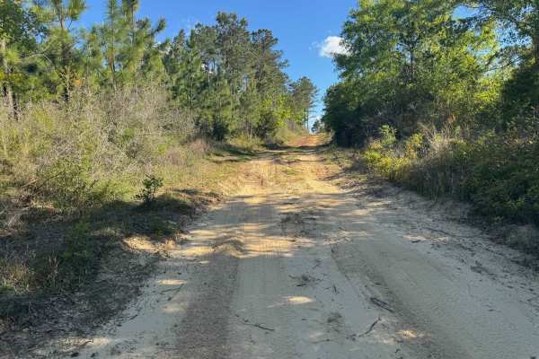
Duck Road Bypass
Bypass the Rocky Duck Road with an easy and scenic route through the coastal pine forests of South Alabama. Starts a little sandy, then moves to packed dirt. Most SUVs will have no issue on the trail. Has a nice overlook at the end. This trail will connect to Blue Lake Loop.
Learn more about Duck Road Bypass
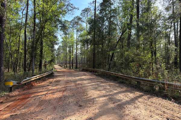
Three Notch Trail
The Three Notch Trail connects CR 191 at the north end and Buddy Hardy Road at the south end. It is a 14-mile-long road that takes you through the north-west part of the Blackwater River State Forest and gives you access to countless trails along the Coldwater Creek District and a natural spring. Th...
Learn more about Three Notch Trail
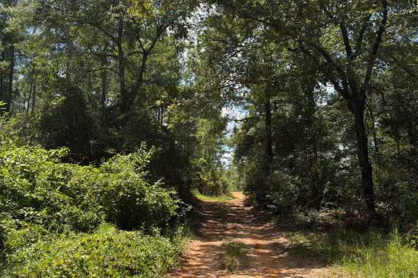
FS J2
Forest Road J 2 is a dead-end road that starts at Red Rock Road. The trail takes you through the southwest part of the Blackwater River State Forest. It gives you access to several trails in the area and follows the Mill Creek from the prairie into the forest. The road conditions are a mixture of pa...
Learn more about FS J2
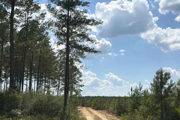
FS F16
Forest Road F16 connects Lee Hill Road at the east end and CR-191 at the west end. The trail takes you through the southwest part of the Blackwater River State Forest and gives you access to several trails in the area. The road conditions are a mixture of packed sand, loose sand, and some deep holes...
Learn more about FS F16
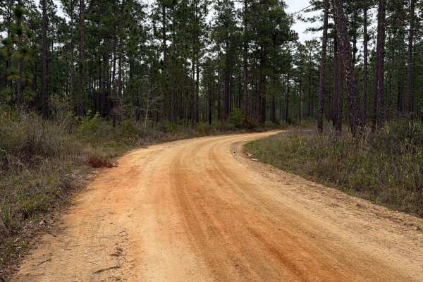
McDaniel Road
McDaniel Road connects Simmons Road at the north end and County Road 4 at the south end. It is a 2.5-mile-long road that takes you through the north-west part of the Blackwater River State Forest and gives you access to several trails and swimming spots along the Coldwater Creek District. The road c...
Learn more about McDaniel Road
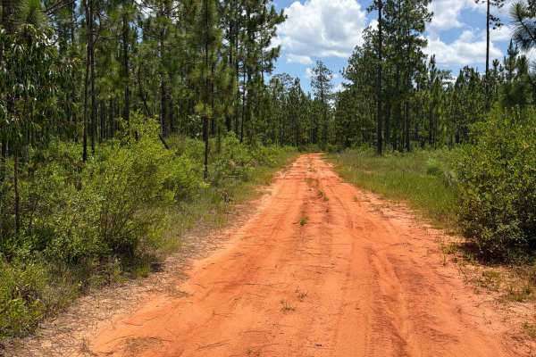
FS F10
Forest Road F10 connects FS F12 at the east end and CR-191 at the west end. The trail takes you through the southwest part of the Blackwater River State Forest and gives you access to several trails in the area. The road conditions are a mixture of packed sand, loose sand, some deep holes that can t...
Learn more about FS F10
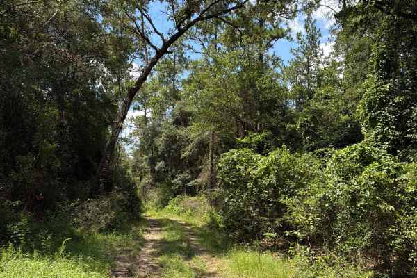
FS J4
Forest Road J4 is an access road that starts at Paulk Road. The trail takes you through the southwest part of the Blackwater River State Forest. It gives you access to several trails in the area and follows the Mill Creek from the prairie into the forest. The road conditions are a mixture of packed ...
Learn more about FS J4
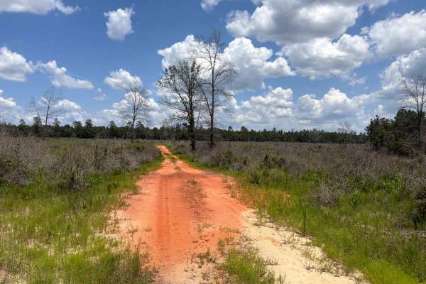
Prairie Trail
Prairie Trail is a short dead-end road that starts at Forest Road J 2. The trail takes you through the southwest part of the Blackwater River State Forest. It gives you access to the prairie in the forest. The road conditions are a mixture of packed sand, loose sand, and some deep holes that can tur...
Learn more about Prairie Trail
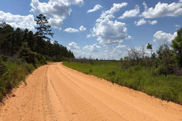
Paulk Road
Paulk Road is an access road that starts at Red Rock Road. The trail takes you through the southwest part of the Blackwater River State Forest. It gives you access to Forest Road J4. The road conditions are a mixture of packed sand, loose sand, and some deep holes that can turn into 1-foot-deep mud ...
Learn more about Paulk Road
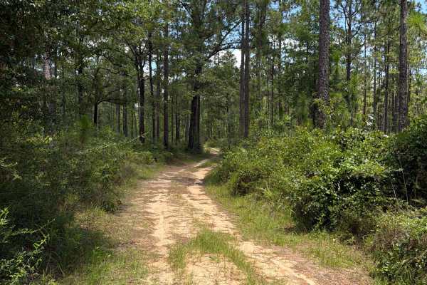
FS F8
Forest Road F 8 connects F 12 at the east end and CR-191 at the west end. The trail takes you through the southwest part of the Blackwater River State Forest and gives you access to several trails in the area. The road conditions are a mixture of packed sand, loose sand, some deep holes that can tur...
Learn more about FS F8
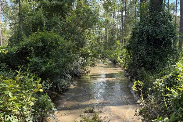
FS F7
Forest Road F7 is a dead-end road that starts at CR 191. The trail takes you through the southwest part of the Blackwater River State Forest along Pittman Creek. It gives you access to several trails in the area, a primitive campsite, and a few hiking trails to the Blackwater River. The road conditi...
Learn more about FS F7
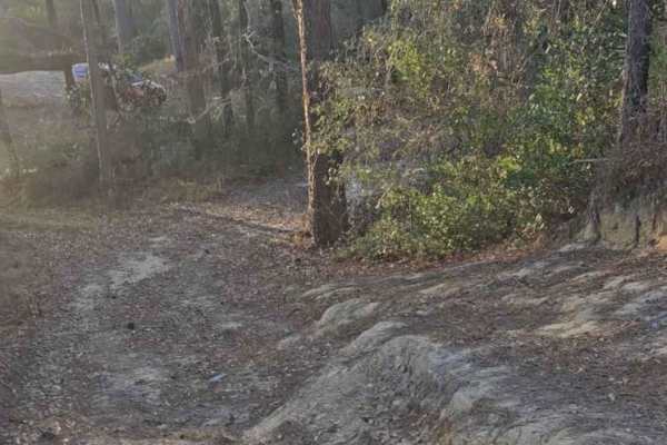
River Rat
This trail is short but technical. There is not very good cell service, but plenty of brush and trees to recover if necessary. There are also a few campsites along the short route. The campsites are big enough for 2 vehicles with the end opening up to a white sandy beach on a small river. There are ...
Learn more about River Rat
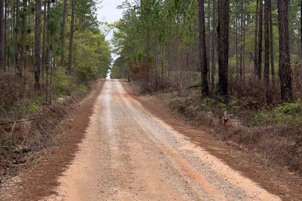
Coldwater Horse Trail
Coldwater Horse Trail connects Buddy Hardy Road at the west end and County Road 191 at the east end. It is a 4-mile-long road that takes you through the north-west part of the Blackwater River State Forest and gives you access to several trails along the Mason Branch District. The road conditions ar...
Learn more about Coldwater Horse Trail
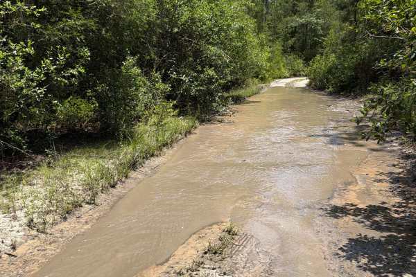
FS F13
Forest Road F13 connects Forest Road F14 at its southern end with Forest Road F12 to the north, providing a convenient route through the southwestern section of Blackwater River State Forest. Along the way, it offers access to several other trails within the forest, making it a useful connector for ...
Learn more about FS F13
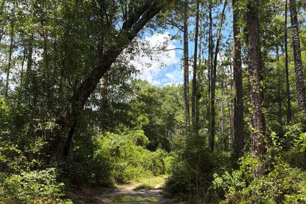
FS F12
Forest Road F 12 connects FS F14 at the east end and FS F8 and FS F10 at the west end. The trail takes you through the southwest part of the Blackwater River State Forest and gives you access to several trails in the area. The road conditions are a mixture of packed sand, loose sand, some deep holes...
Learn more about FS F12
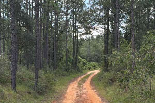
FS F14
Forest Road F14 is a dead-end road that starts at Red Rock Road. The trail that takes you through the southwest part of the Blackwater River State Forest gives you access to several trails in the area, a primitive campsite, and a few hiking trails to the Blackwater River. The road conditions are a m...
Learn more about FS F14

Sandbar Camp
This trail offers a challenging yet rewarding ride, featuring deep water holes that can vary in depth depending on recent rainfall. Along the way, you'll find ample off-grid camping opportunities, making it a great spot to set up for a night under the stars. One of the highlights is its access to th...
Learn more about Sandbar Camp
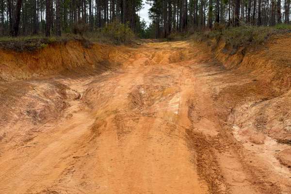
J 45
Forest Road J 45 connects Boundary Line Road at the south end and FR J 40 at the north end. It is a short trail that takes you through the southeast part of the Blackwater River State Forest and gives you access to a few OHV and off-road trails. The road conditions are a mixture of packed sand, loos...
Learn more about J 45
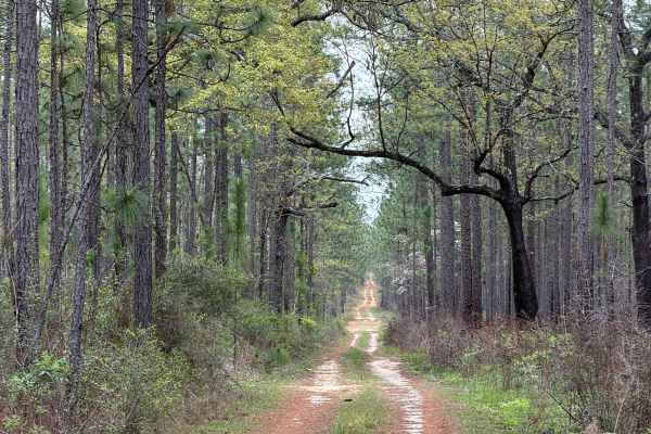
F 71
Forest Road F 71 connects Bryant Bridge Road at the west end and Forest Road F 70 at the east end. It is a short trail that takes you through the southeast part of the Blackwater River State Forest and gives you access to a few OHV and off-road trails. The road conditions are a mixture of packed san...
Learn more about F 71
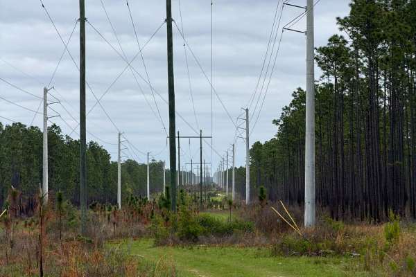
J 54
Forest Road J 54 connects Boundary Line Road at the west end and FR J 57 at the east end. It is a 2-mile-long trail that takes you through the southeast part of the Blackwater River State Forest and gives you access to several OHV and off-road trails. The west part of the trail takes you along the p...
Learn more about J 54
ATV trails near Daphne, Alabama
Explore ATV-friendly trails near you. These trails are accessible for vehicles up to 50 inches wide, perfect for ATVs and smaller off-road machines.
Duck Road Bypass
Bypass the Rocky Duck Road with an easy and scenic route through the coastal pine forests of South Alabama. Starts a little sandy, then moves to packed dirt. Most SUVs will have no issue on the trail. Has a nice overlook at the end. This trail will connect to Blue Lake Loop.
Learn more about Duck Road Bypass
Three Notch Trail
The Three Notch Trail connects CR 191 at the north end and Buddy Hardy Road at the south end. It is a 14-mile-long road that takes you through the north-west part of the Blackwater River State Forest and gives you access to countless trails along the Coldwater Creek District and a natural spring. Th...
Learn more about Three Notch Trail
FS J2
Forest Road J 2 is a dead-end road that starts at Red Rock Road. The trail takes you through the southwest part of the Blackwater River State Forest. It gives you access to several trails in the area and follows the Mill Creek from the prairie into the forest. The road conditions are a mixture of pa...
Learn more about FS J2
FS F16
Forest Road F16 connects Lee Hill Road at the east end and CR-191 at the west end. The trail takes you through the southwest part of the Blackwater River State Forest and gives you access to several trails in the area. The road conditions are a mixture of packed sand, loose sand, and some deep holes...
Learn more about FS F16
UTV/side-by-side trails near Daphne, Alabama
Find UTV and side-by-side trails near you. These trails accommodate vehicles up to 60 inches wide, ideal for UTVs, side-by-sides, and wider off-road rigs.
Duck Road Bypass
Bypass the Rocky Duck Road with an easy and scenic route through the coastal pine forests of South Alabama. Starts a little sandy, then moves to packed dirt. Most SUVs will have no issue on the trail. Has a nice overlook at the end. This trail will connect to Blue Lake Loop.
Learn more about Duck Road Bypass
Three Notch Trail
The Three Notch Trail connects CR 191 at the north end and Buddy Hardy Road at the south end. It is a 14-mile-long road that takes you through the north-west part of the Blackwater River State Forest and gives you access to countless trails along the Coldwater Creek District and a natural spring. Th...
Learn more about Three Notch Trail
FS J2
Forest Road J 2 is a dead-end road that starts at Red Rock Road. The trail takes you through the southwest part of the Blackwater River State Forest. It gives you access to several trails in the area and follows the Mill Creek from the prairie into the forest. The road conditions are a mixture of pa...
Learn more about FS J2
FS F16
Forest Road F16 connects Lee Hill Road at the east end and CR-191 at the west end. The trail takes you through the southwest part of the Blackwater River State Forest and gives you access to several trails in the area. The road conditions are a mixture of packed sand, loose sand, and some deep holes...
Learn more about FS F16
The onX Offroad Difference
onX Offroad combines trail photos, descriptions, difficulty ratings, width restrictions, seasonality, and more in a user-friendly interface. Available on all devices, with offline access and full compatibility with CarPlay and Android Auto. Discover what you're missing today!
Open Trail Map