Trail Overview
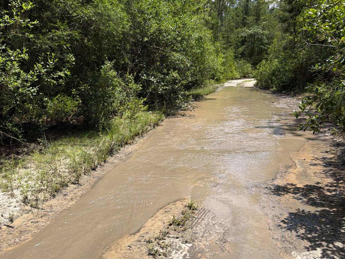
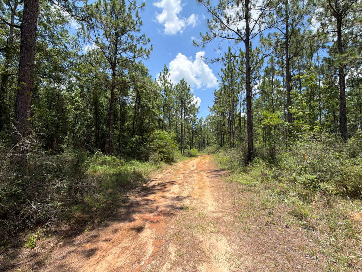
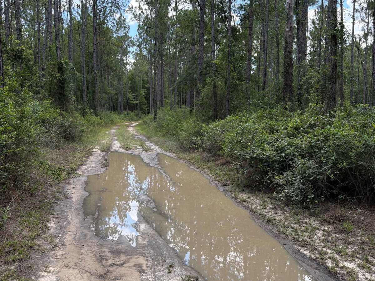
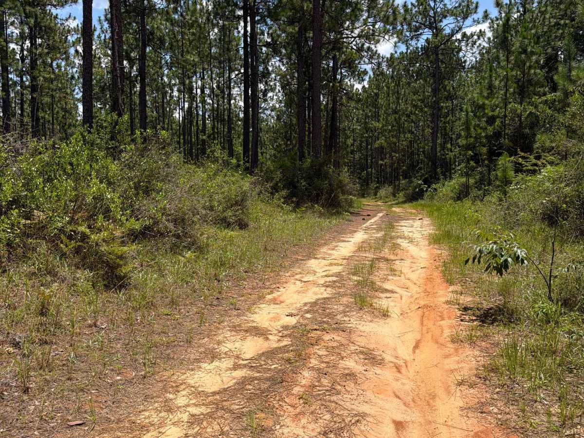
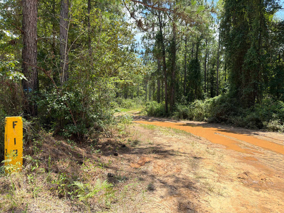
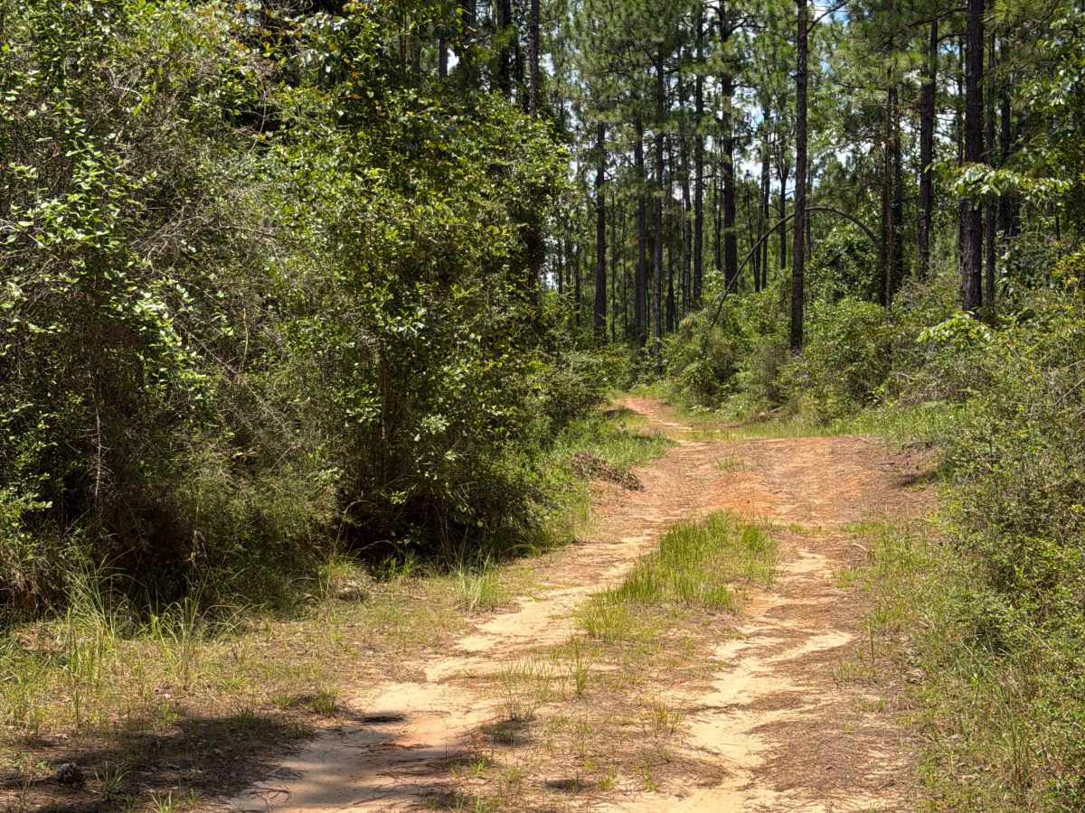
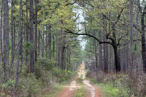
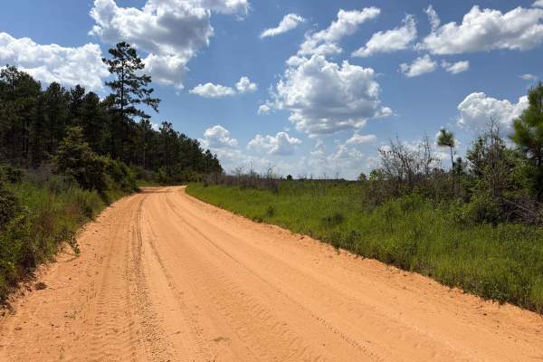
Forest Road F13 connects Forest Road F14 at its southern end with Forest Road F12 to the north, providing a convenient route through the southwestern section of Blackwater River State Forest. Along the way, it offers access to several other trails within the forest, making it a useful connector for exploring the area. Road conditions vary and include packed sand, loose sand, deep ruts that can become mud holes up to 2 feet deep after heavy rain, and a few permanent mud holes. Portions of the road are narrow, leaving limited room for two vehicles to pass. A high-clearance, four-wheel-drive vehicle is recommended due to the changing terrain and muddy conditions. All vehicles must be street legal. Cell service is limited throughout much of the forest, and fuel may not be available nearby, so plan accordingly. Blackwater River State Forest, one of the largest state forests in Florida, is located in the Florida Panhandle northeast of Pensacola and is named after the Blackwater River that flows through the region.
History
Blackwater River is one of the few shifting-sand-bottom streams that remain in their natural state for nearly their entire lengths. The topography of the forest is gently rolling, and various natural communities are represented. Blackwater River State Forest is known for its longleaf pine/wiregrass ecosystem, which, in combination with the Conecuh National Forest to the north and Eglin Air Force Base to the south, is the largest contiguous ecological community of this type in the world. Longleaf pines once covered over 60 million acres in the Southeastern Coastal Plains of the United States. Less than 5 percent of the original acreage now remains. Longleaf pine communities are rich in plant and animal life, including many species classified as endangered, threatened, or of special concern.