
Dirt Bike Trails
Near Copeland, Oklahoma
Explore All Dirt Bike Trails Near Copeland, Oklahoma
Dirt Bike Trails Near Copeland, Oklahoma
Discover the best dirt bike trails near you. Browse trail maps, check difficulty ratings, and find your next adventure — whether you're looking for a quick ride or an all-day expedition.
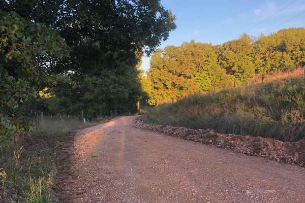
Hayfield Trail
Looking for an easy way to enjoy some scenery? This 5-mile trail will allow you to get the offroad experience without having to worry about tearing up your vehicle. This trail can be easily completed by any stock vehicle, but it should be noted that there are some low-water bridges that could flood ...
Learn more about Hayfield Trail
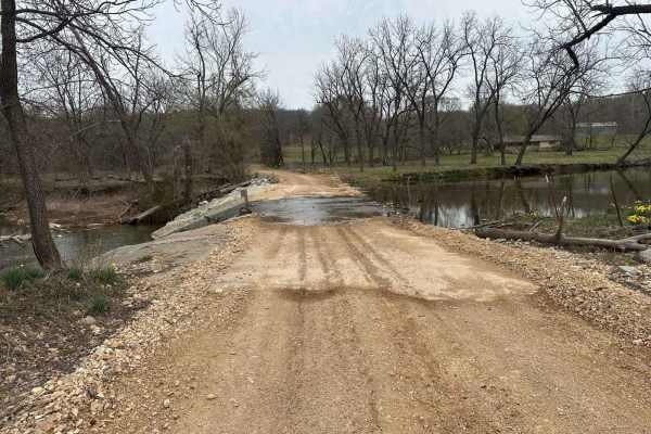
Whitewater Community Trail
The Whitewater Community Trail is part of the GOAT (Green Country Oklahoma Adventure Tour). This trail will take you through the back county of northeast Oklahoma on a mix of smooth and rough dirt roads connected with short bits of pavement where necessary. There are 2-3 water crossings (under 12") ...
Learn more about Whitewater Community Trail
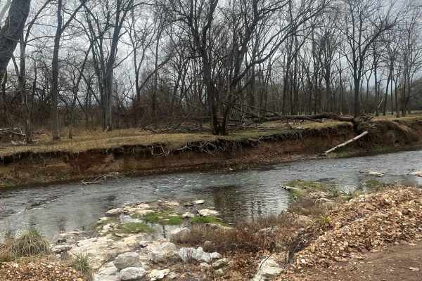
Country Road Nec35A
Take a break from the daily hustle and bustle of paved roads and enjoy a scenic view. This dirt road is perfect for someone looking to get their rig dirty without tearing anything up on their vehicle. There are no large obstacles that would cause any technical issues, this road can easily be travele...
Learn more about Country Road Nec35A
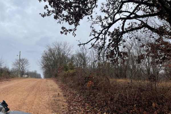
Ozark to Nettle
Enjoy some of Neosho's beautiful hidden scenery as you travel down this lovely dirt trail. This trail is another easy one for the area, there are no obstacles to overcome nor are there any branches or trees sticking out that will damage your rig. This can easily be completed with any of the other tr...
Learn more about Ozark to Nettle
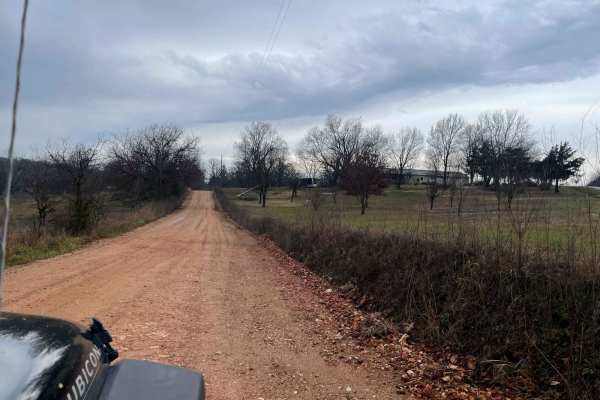
Palm Dirt Road
Ready to take a quick break after a long day? Look no further than Palm Road, the perfect dirt road that will curb your craving of going off road. This road is great at any time of year and is the perfect trail for any skill level. This road can be accessed by all vehicle types.
Learn more about Palm Dirt Road
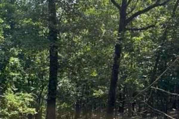
Alli's Trail
This route is very scenic and fun. Starting this trail from the entrance of the park, you make your way down with some switchbacks. You will come out to the cleared-out powerline area, and there is a mud hole at the corner, which has a hard bottom. After that, you will follow some off-camber section...
Learn more about Alli's Trail
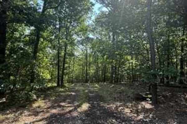
Blake's Trail 2.0
This trail starts off Anna's Trail and has a steep downhill right off the bat. You will also find large rocks, and around the curve at the bottom of the hill, you will see some very off-camber downhill sections. There is a small waterway that runs through this trail, which keeps the rocks and dirt w...
Learn more about Blake's Trail 2.0
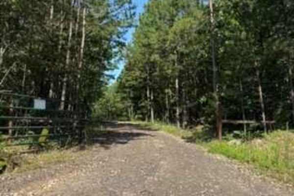
Ana's Trail
This route is a connecting route for other trails, some of the buggy trails. This trail loops around at the very end and has a spectacular view. There is some loose and sharp rock on this trail, and during heavy rain, some water can pile up on the trail. This trail could be done with most 4x4 vehicl...
Learn more about Ana's Trail
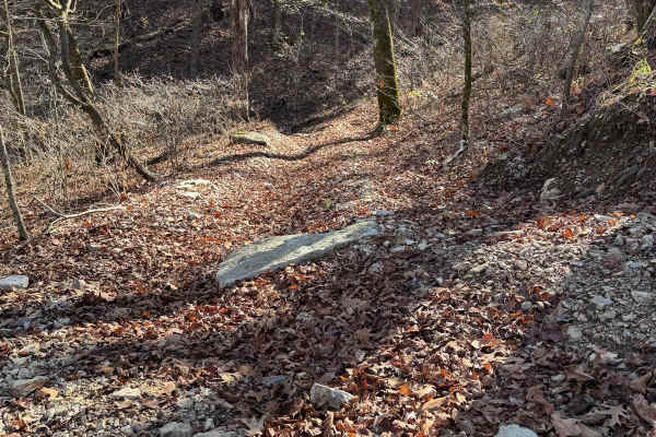
Yellow 167
Yellow 167 is a short non-directional connector trail that you can run from either direction. This connects to Assault Opossum Hill 16 at one end and Red 163 at the their end. If you start Red 163 and decide you do not want to continue that trail you can use Yellow 167 as a bailout point.
Learn more about Yellow 167
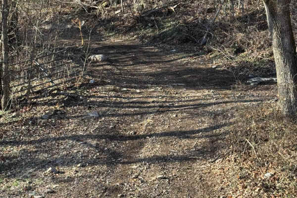
Green 312
Green 312 is a non-directional trail that is located on the western end of the park. This trail not only leads to an old barn but also leads you to Boulder Dash. Green 312 is connected to Boulder Dash at one end and Green 13 at the other end.
Learn more about Green 312
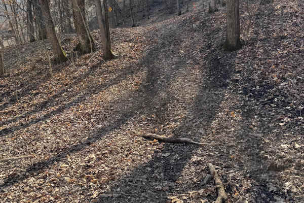
Green 417
Green 417 is a small half moon trail located on the western end of the park. This is a non directional trail so you can run it from either direction. This would also be a nice shady spot to pull off and cool off or grab a quick bit to eat. Green 417 is connected to another trail that is currently bl...
Learn more about Green 417
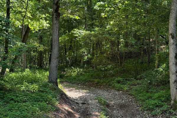
Gunnar's Trail
This trail is fairly easy with some washed-out sections that could get worse over time. Some sections that could swallow a 33-inch tire. There is also loose rock throughout this trail. This trail is a connecting trail between Hunters and Abby's. This trail is also a starting point for other harder t...
Learn more about Gunnar's Trail
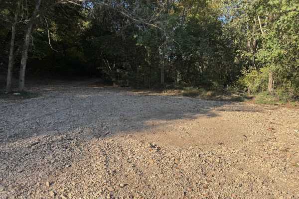
Green 2
Green 2 can be reached by taking Green 1, Green 4, and Green 5 from the cabins or office area. This is a gravel trail that can get you access to some of the more difficult trails on the south end of the park as well as the racetrack. You will cross over Creek Bed 11 if heading towards the racetrack....
Learn more about Green 2
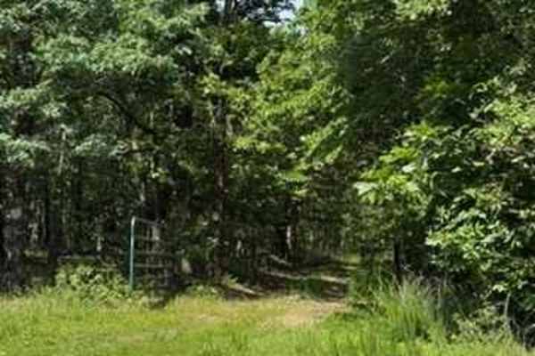
Jackson's Trail
Jackson's Trail starts off of Ana's Trail and connects to one of the five start trails (on the left at the end of this trail) and one of the easier trails (on the right at the end of this trail). Most of this trail is loose rock, but flat driving.
Learn more about Jackson's Trail
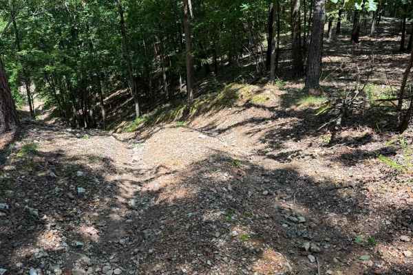
Joey's Trail
Joey's trail is another branch off of Kyler's Trail. Coming from the North side of Kyler's Trail, you will see Joey's on the right-hand side (passenger side). This trail starts with a downhill that is extremely steep. The downhill also has loose rock, a sharp ledge, and is very washout and rutted. A...
Learn more about Joey's Trail

Kyler's Trail
This trail starts off Anna's Trail and makes its way down to multiple other trails. This trail has some washed-out sections with small ledges. There is a lot of loose rock, and starting this trail from Anna's, you will be going downhill to the valley. This trail could be more difficult during rain.
Learn more about Kyler's Trail
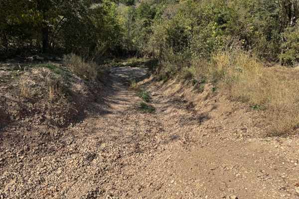
Creek Bed 12
Also called Missouri Creek, Creek Bed 12 takes you from where the racetrack is on the southeastern side of the park all the way to the southwestern side of the park. There are several off-shoot trails along the way. This trail is frequently dry with little to no water at all. You will pass by the gr...
Learn more about Creek Bed 12
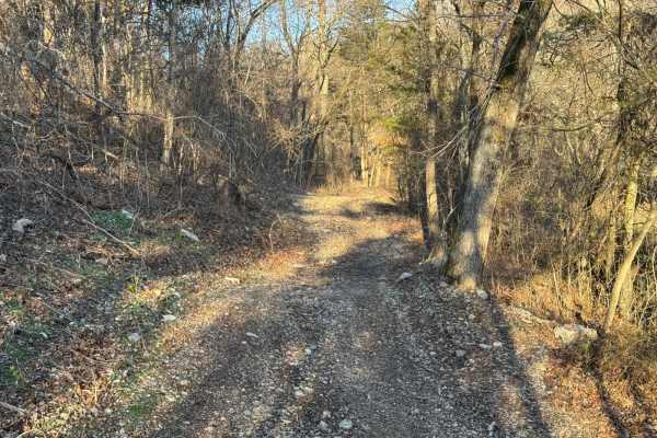
Yellow 316
Yellow 316 is a non-directional trail that is located within the Martin Hollow area of the park on the western side. You can run this trail from either direction. Yellow 316 is connected to Green 313 at one end and Green 312 at the other end.
Learn more about Yellow 316
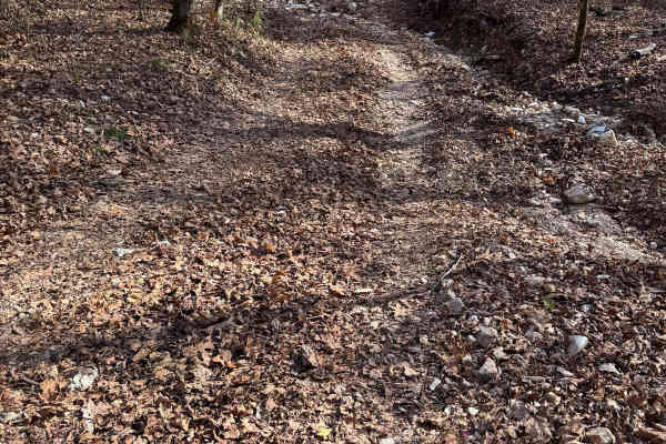
Yellow 176
Yellow 176 is a non-directional trail that is located in the farthest southwestern area of the park. You can run this trail from either direction. This trail has 3 points to enter or exit at and all of which connect to Red 17. You may see some Armadillos as you travel along this trail.
Learn more about Yellow 176
Tim's Shortcut
This is a shortcut trail off of Ana's Trail, which will connect you to Jackson's Trail. This trail is extremely easy and can be done by any 4x4 vehicle. Most of it is dirt/grass-grown road. This is mostly a connecting trail between Anna's and Jackson's. Heavy rain could make this somewhat muddy.
Learn more about Tim's Shortcut
ATV trails near Copeland, Oklahoma
Explore ATV-friendly trails near you. These trails are accessible for vehicles up to 50 inches wide, perfect for ATVs and smaller off-road machines.
Hayfield Trail
Looking for an easy way to enjoy some scenery? This 5-mile trail will allow you to get the offroad experience without having to worry about tearing up your vehicle. This trail can be easily completed by any stock vehicle, but it should be noted that there are some low-water bridges that could flood ...
Learn more about Hayfield Trail
Country Road Nec35A
Take a break from the daily hustle and bustle of paved roads and enjoy a scenic view. This dirt road is perfect for someone looking to get their rig dirty without tearing anything up on their vehicle. There are no large obstacles that would cause any technical issues, this road can easily be travele...
Learn more about Country Road Nec35A
Ozark to Nettle
Enjoy some of Neosho's beautiful hidden scenery as you travel down this lovely dirt trail. This trail is another easy one for the area, there are no obstacles to overcome nor are there any branches or trees sticking out that will damage your rig. This can easily be completed with any of the other tr...
Learn more about Ozark to Nettle
Palm Dirt Road
Ready to take a quick break after a long day? Look no further than Palm Road, the perfect dirt road that will curb your craving of going off road. This road is great at any time of year and is the perfect trail for any skill level. This road can be accessed by all vehicle types.
Learn more about Palm Dirt Road
UTV/side-by-side trails near Copeland, Oklahoma
Find UTV and side-by-side trails near you. These trails accommodate vehicles up to 60 inches wide, ideal for UTVs, side-by-sides, and wider off-road rigs.
Hayfield Trail
Looking for an easy way to enjoy some scenery? This 5-mile trail will allow you to get the offroad experience without having to worry about tearing up your vehicle. This trail can be easily completed by any stock vehicle, but it should be noted that there are some low-water bridges that could flood ...
Learn more about Hayfield Trail
Whitewater Community Trail
The Whitewater Community Trail is part of the GOAT (Green Country Oklahoma Adventure Tour). This trail will take you through the back county of northeast Oklahoma on a mix of smooth and rough dirt roads connected with short bits of pavement where necessary. There are 2-3 water crossings (under 12") ...
Learn more about Whitewater Community Trail
Country Road Nec35A
Take a break from the daily hustle and bustle of paved roads and enjoy a scenic view. This dirt road is perfect for someone looking to get their rig dirty without tearing anything up on their vehicle. There are no large obstacles that would cause any technical issues, this road can easily be travele...
Learn more about Country Road Nec35A
Ozark to Nettle
Enjoy some of Neosho's beautiful hidden scenery as you travel down this lovely dirt trail. This trail is another easy one for the area, there are no obstacles to overcome nor are there any branches or trees sticking out that will damage your rig. This can easily be completed with any of the other tr...
Learn more about Ozark to Nettle
The onX Offroad Difference
onX Offroad combines trail photos, descriptions, difficulty ratings, width restrictions, seasonality, and more in a user-friendly interface. Available on all devices, with offline access and full compatibility with CarPlay and Android Auto. Discover what you're missing today!
Open Trail Map