
Dirt Bike Trails
Near Cobalt, Missouri
Explore All Dirt Bike Trails Near Cobalt, Missouri
Dirt Bike Trails Near Cobalt, Missouri
Discover the best dirt bike trails near you. Browse trail maps, check difficulty ratings, and find your next adventure — whether you're looking for a quick ride or an all-day expedition.
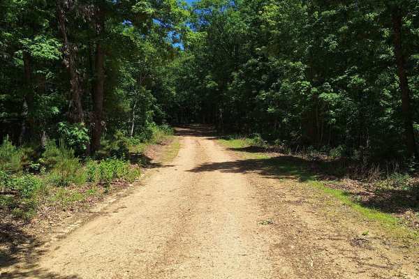
Miller Chapel FSR 2501
This trail starts as an unmaintained trail, light gravel/dirt, and turns into an all-dirt road. Along this road, you will not only have a beautiful drive through the woods but will also be welcomed with much wildlife. Towards the end of this trail, you will come to multiple water/mud holes of unknow...
Learn more about Miller Chapel FSR 2501

Central School FSR 2100
This road is the start and continuation of Central Pond FSR 2144. This road starts with a small creek crossing and continues uphill with a shallow rutted road. At the top of the hill, it opens up and it is a beautiful drive on top of the hills. There are a couple of small cutouts that would make goo...
Learn more about Central School FSR 2100
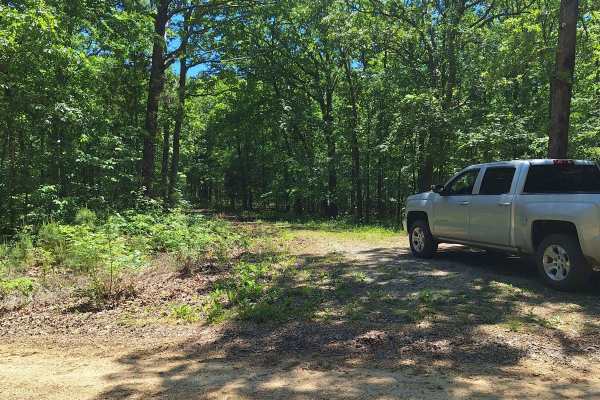
South Windy FSR 3304
This trail starts as a light gravel/dirt two-track. About 100 feet in is an uphill section with shallow washouts. As you get to the top of the hill, it becomes a little soft. Some of this road will be slightly overgrown as well. There is a little cut-out that would make a good campsite. As you conti...
Learn more about South Windy FSR 3304
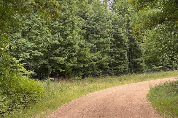
CR 404 Crane
This is a scenic route from Highway 49 to Crane Lake Recreation Area. Enjoy the ride; it'll be moderate (weather may affect some areas, so watch for downed trees or potential water on the road). When you arrive at Crane Lake, make sure you check out the boat dock-an awesome spot to have a lunch brea...
Learn more about CR 404 Crane
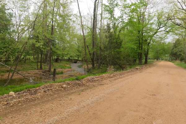
Funk Branch Road
Funk Branch Road, or the combination road of Reynolds County Road 456 and Iron County Road 149, is a coarse gravel county road along the Funk Branch Creek, providing access to the north side of the Black River Bottoms area within the Clearwater Lake U.S. Army Corps of Engineer Land. The road begins ...
Learn more about Funk Branch Road
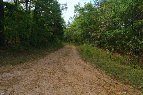
Womble Hollow - FS 2481
Womble Hollow FS 2481 is a semi-maintained single-width gravel road that leans towards a natural improved road over its track and is within the Potosi Unit of Mark Twain National Forest. The fading gravel road several times turns into a dirt, coarse gravel and natural terrain path overall doing one ...
Learn more about Womble Hollow - FS 2481
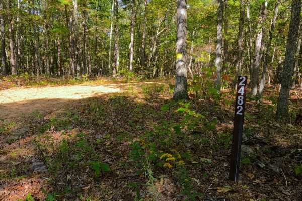
Coon Hollow - FS 2482
Coon Hollow (FS 2482) is a gravel forest service road within the Mark Twain National Forest Potosi Unit. Coon Hollow, despite being the shorter road in the area, is the entry road off the Shepard Cutoff (FS 2228) into this micro-system of three roads, shortly forking to the right to the much longer ...
Learn more about Coon Hollow - FS 2482
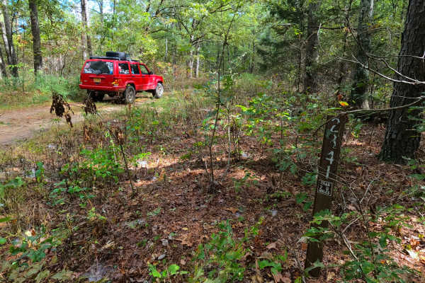
Sherbrooke - FS 2841
Sherbrooke (FS 2841) is a semi-maintained gravel and natural terrain forest road within the Mark Twain National Forest Potosi Unit. Sherbrooke forks east off the Coon Hollow (FS 2482), quickly turning due north to the depths of this portion of Mark Twain National Forest, the total track being 2.1 m...
Learn more about Sherbrooke - FS 2841
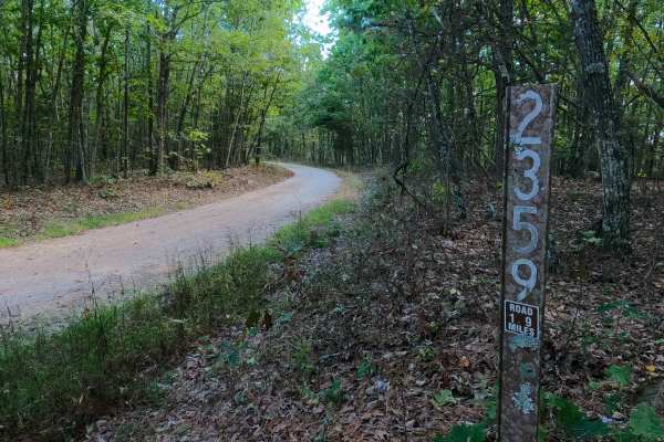
Lindsey Mountain - FS 2359
Lindsey Mountain FS 2359 is a well-maintained gravel road within the Potosi Unit of Mark Twain National Forest. The road begins by spurring off the Shepard Cutoff, heading southward along the eastern boundary of the Bell Mountain Wilderness towards Lindsey Mountain, traversing the ridge spines, beau...
Learn more about Lindsey Mountain - FS 2359
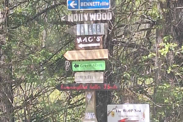
K-Bridge West
This road starts as an asphalt road (.08 miles) at the K Bridge West entrance. There is a campground to your right and a "day use" area at your left that leads down to the river. This road follows CR 452 until your turn at CR 442. As you come off the asphalt, you will find yourself on a well-maintai...
Learn more about K-Bridge West
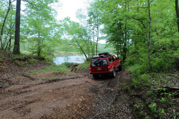
Mann Cemetery Road
Mann Cemetery Road, or Reynolds County Road 456, is a coarse gravel road transforming to a natural dirt road in the northern portion of the Black River Bottoms area within the Clearwater Lake U.S. Army Corps of Engineer Land. This road features views of the valley surrounded by the rolling hills of ...
Learn more about Mann Cemetery Road
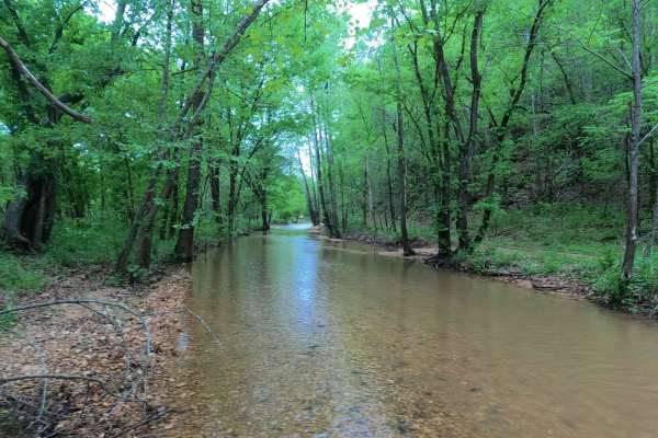
Hackworth Hollow Trail
Hackworth Hollow Trail, also known locally as part of Funk Branch Road or Reynolds County Road 446A, is a coarse gravel road transforming to a creek bottom road and back to a coarse gravel road through the northern portion of the Black River Bottoms area within the Clearwater Lake U.S. Army Corps of...
Learn more about Hackworth Hollow Trail
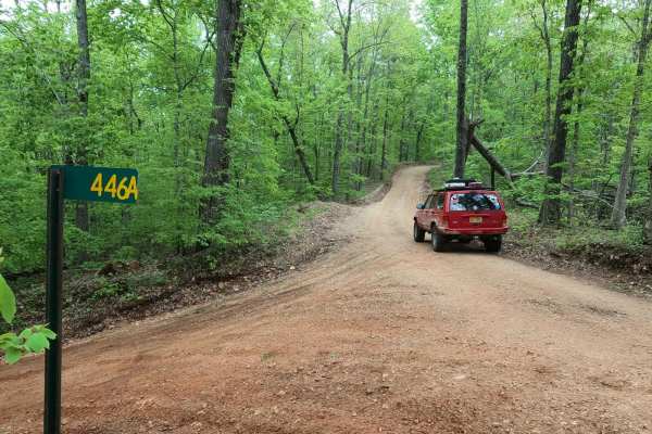
Long Ridge Road
Long Ridge Road (Reynolds County Road 462 and Iron County Road 151) is a coarse gravel county road providing access to the northeast portion of the Black River Bottoms area within the Clearwater Lake U.S. Army Corps of Engineer Land. The road starts from Missouri Route-BB, 0.1 miles east of the Funk...
Learn more about Long Ridge Road
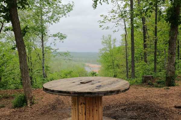
Spool Ridge Trail
Spool Ridge Trail, or simply The Spool Trail, is a natural dirt/coarse gravel and small rock trail through the north center portion of the Black River Bottoms area within the Clearwater Lake U.S. Army Corps of Engineer Land. The Spool Trail rides ridge tops overlooking the Black River below, trackin...
Learn more about Spool Ridge Trail
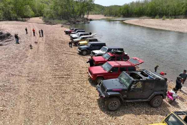
Funk Branch Delta
Funk Branch Delta Trail, or Funk Shore Access, is a coarse creek gravel and dirt/mud trail through the northern portion of the Black River Bottoms area within the Clearwater Lake U.S. Army Corps of Engineer Land. The trail is an in/out track that features an entry point off the creek bottom section ...
Learn more about Funk Branch Delta
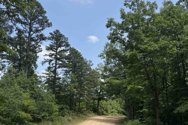
Shepard Cutoff - 2228
Shepard Cutoff 2228 is the gateway to Bell Mountain Wilderness which is a 9,143 acre wilderness located right outside of Caledonia, Missouri. This road is well-maintained with gravel and curves through the Mark Twain National Forest which encompasses 1.5 million acres. Along this route, you will com...
Learn more about Shepard Cutoff - 2228
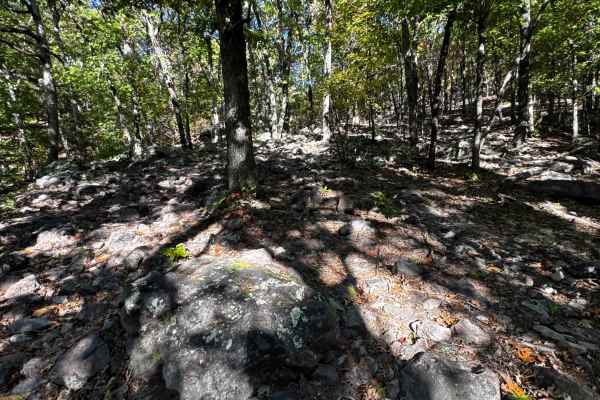
Wow Side Quest 1
Short but a handful decent little side trail that you can try your hand at reasonably sized rocks and a decent climb that can give you a little something to do if you're waiting for folks coming up Wow or the other rock obstacles in the surrounding area. Be mindful of traffic in this area during eve...
Learn more about Wow Side Quest 1
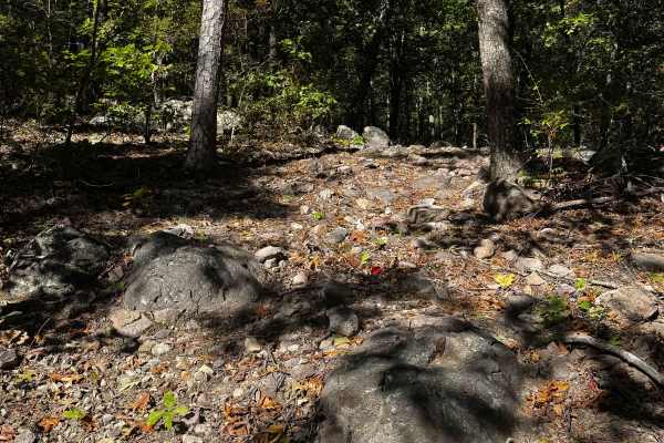
Side Piece Wow
As expected, with the area you're looking at, some pretty major rocks and technical wheeling. You'll work your way up the trail, typically from the bottom, while working through some obstacles. Be mindful of this area during events, as it can be very busy with large rigs and lots of spectators.
Learn more about Side Piece Wow
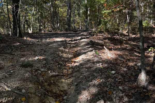
Big Oooof
Of the harder sections in the area, this trail will start down at the ridge and drop you off at Wow Express, but not without taking you on a steep rock climb with a few technical sections first. Loose terrain, and it can be much gnarlier with wet weather.
Learn more about Big Oooof
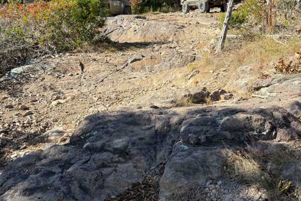
Owen Wowson
In the wow section of the park, this trail will test your rig's ability to not only rock climb but also maneuver over big gardens that are very capable of body damage for less capable rigs. The trail is very steep; be mindful of rigs that may be throwing large rocks as they pedal up the mountain.
Learn more about Owen Wowson
ATV trails near Cobalt, Missouri
Explore ATV-friendly trails near you. These trails are accessible for vehicles up to 50 inches wide, perfect for ATVs and smaller off-road machines.
Miller Chapel FSR 2501
This trail starts as an unmaintained trail, light gravel/dirt, and turns into an all-dirt road. Along this road, you will not only have a beautiful drive through the woods but will also be welcomed with much wildlife. Towards the end of this trail, you will come to multiple water/mud holes of unknow...
Learn more about Miller Chapel FSR 2501
Central School FSR 2100
This road is the start and continuation of Central Pond FSR 2144. This road starts with a small creek crossing and continues uphill with a shallow rutted road. At the top of the hill, it opens up and it is a beautiful drive on top of the hills. There are a couple of small cutouts that would make goo...
Learn more about Central School FSR 2100
South Windy FSR 3304
This trail starts as a light gravel/dirt two-track. About 100 feet in is an uphill section with shallow washouts. As you get to the top of the hill, it becomes a little soft. Some of this road will be slightly overgrown as well. There is a little cut-out that would make a good campsite. As you conti...
Learn more about South Windy FSR 3304
CR 404 Crane
This is a scenic route from Highway 49 to Crane Lake Recreation Area. Enjoy the ride; it'll be moderate (weather may affect some areas, so watch for downed trees or potential water on the road). When you arrive at Crane Lake, make sure you check out the boat dock-an awesome spot to have a lunch brea...
Learn more about CR 404 Crane
UTV/side-by-side trails near Cobalt, Missouri
Find UTV and side-by-side trails near you. These trails accommodate vehicles up to 60 inches wide, ideal for UTVs, side-by-sides, and wider off-road rigs.
Miller Chapel FSR 2501
This trail starts as an unmaintained trail, light gravel/dirt, and turns into an all-dirt road. Along this road, you will not only have a beautiful drive through the woods but will also be welcomed with much wildlife. Towards the end of this trail, you will come to multiple water/mud holes of unknow...
Learn more about Miller Chapel FSR 2501
Central School FSR 2100
This road is the start and continuation of Central Pond FSR 2144. This road starts with a small creek crossing and continues uphill with a shallow rutted road. At the top of the hill, it opens up and it is a beautiful drive on top of the hills. There are a couple of small cutouts that would make goo...
Learn more about Central School FSR 2100
South Windy FSR 3304
This trail starts as a light gravel/dirt two-track. About 100 feet in is an uphill section with shallow washouts. As you get to the top of the hill, it becomes a little soft. Some of this road will be slightly overgrown as well. There is a little cut-out that would make a good campsite. As you conti...
Learn more about South Windy FSR 3304
CR 404 Crane
This is a scenic route from Highway 49 to Crane Lake Recreation Area. Enjoy the ride; it'll be moderate (weather may affect some areas, so watch for downed trees or potential water on the road). When you arrive at Crane Lake, make sure you check out the boat dock-an awesome spot to have a lunch brea...
Learn more about CR 404 Crane
The onX Offroad Difference
onX Offroad combines trail photos, descriptions, difficulty ratings, width restrictions, seasonality, and more in a user-friendly interface. Available on all devices, with offline access and full compatibility with CarPlay and Android Auto. Discover what you're missing today!
Open Trail Map