Dirt Bike Trails
Near Chester, Maine
Explore All Dirt Bike Trails Near Chester, Maine
Dirt Bike Trails Near Chester, Maine
Discover the best dirt bike trails near you. Browse trail maps, check difficulty ratings, and find your next adventure — whether you're looking for a quick ride or an all-day expedition.
Oxhead Lakes Trail
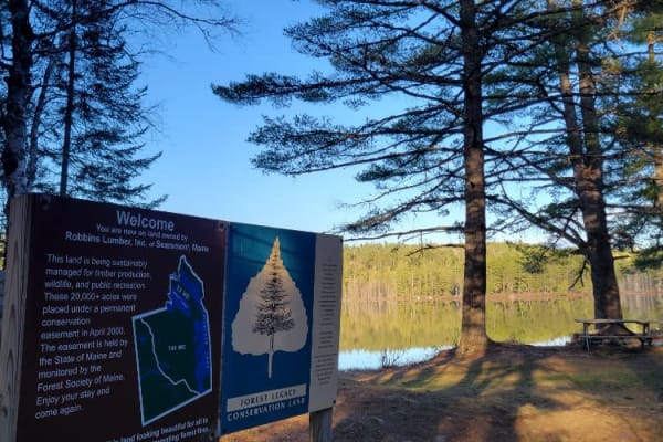
This trail provides access to the Oxhead Ponds and a variety of other trails to be explored. The trail is dirt and wide enough for 2 vehicles to pass with ease. As a primary access road, it can be considered busy at times, but as a connector, it is a crucial part of other trails to be explored. Ther...
Learn more about Oxhead Lakes Trail
Brandy Pond West
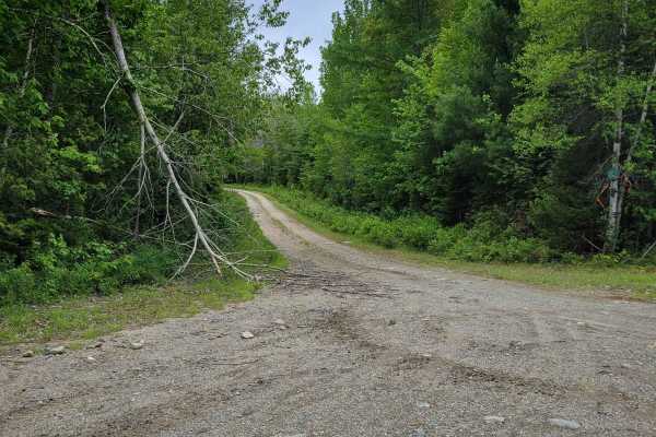
This trail provides access to the western side of Brandy Pond. The trail is primarily dirt road, with some sections that are more water-saturated and could be evaluated during the spring or other wet times of the year. The trail is less developed than some of the other larger trails and is more acce...
Learn more about Brandy Pond West

West to Oxhead Connector
This trail is a connector between the West Lake Southern Tip and Oxhead Lakes Trail. The trail is primarily a dirt road, with some sections that are more water saturated and could be evaluated during the spring or other wet times of the year. The trail is less developed than some of the other larger...
Learn more about West to Oxhead Connector

Buffalo Stream East
This trail provides access to the eastern side of Buffalo Stream. The trail is primarily dirt/grass and is very narrow due to the soft white pine needles. Use caution as the narrowness of this trail may result in scratches on the vehicle. This trail dead ends at Buffalo Stream, where there used to b...
Learn more about Buffalo Stream East

Newport to Onawa
This is a great trail with a fantastic train trestle at the end. The trail is mostly two-track, with a few standard ATV trails. Trails are well marked and maintained, and the views from the trestle are amazing. Other interesting things along the way include waterfalls, beaver dams and lakes. Stop in...
Learn more about Newport to Onawa
Chase Fire Tower
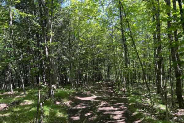
Chase Fire Tower is an ideal, short trail for beginner to intermediate offroaders seeking a scenic climb with a historical reward at the summit. Spanning just under a half-mile, this route ascends the backside of Chase Hill to a maximum elevation of 764 feet, gaining about 108 feet of cumulative ele...
Learn more about Chase Fire Tower
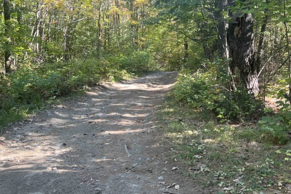
Zonner Road to Cliffy Jewel Pasture Road
This trail starts out on an offshoot of Scott Road that goes out to scenic views over the area. This is a multi-use trail that is open to all types of vehicles. At the mid-point, this road stops being maintained and turns into an offroad trail that is pretty rough and has rocks and some wet mud hol...
Learn more about Zonner Road to Cliffy Jewel Pasture Road
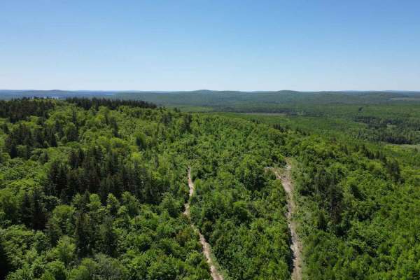
Flat Top Mountain
This winding path takes you from Holt Road southwest of Lake George through logging roads, and eventually a winding passage up the side of the Flat Top mountain. The path narrows as you climb up many boulders and very tight turns leading to the summit. Expect large ledges and boulders as well as mud...
Learn more about Flat Top Mountain
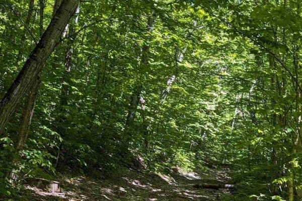
Flat Top Hard Line
This is an alternative route to the ascent to Flat Top Mountain. It features some 20-inch-deep mud holes and a lot of off-camber washouts. While it will challenge your skill, it's not nearly as hard as the actual ascent. Be prepared and bring a chainsaw. The trail rejoins the main drag before the tu...
Learn more about Flat Top Hard Line
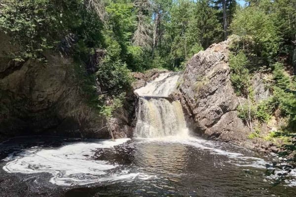
Gibson Falls Run
Entering from Hickey Road in West Waterville, you will find yourself on a snowmobile trail that's mostly rocky bottom. Passing many beaver ponds, the trail is fairly well maintained save for a dam right on the trail. The water is usually about 18 inches deep but with a rock bottom. When you get to t...
Learn more about Gibson Falls Run
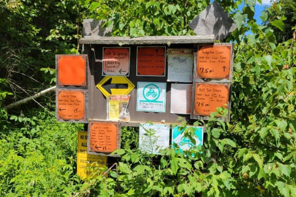
Frye Mountain - High Ridge to Getchell
The Frye Mountain - High Ridge to Getchell trail is a West to East crossing through the Frye Mountain State Game Management Area. This trail is just over 8 miles passing by the Carter Cemetery and includes a small 3 mile (out and back) to another private Cemetery, where the trail becomes a turnarou...
Learn more about Frye Mountain - High Ridge to Getchell
ATV trails near Chester, Maine
Explore ATV-friendly trails near you. These trails are accessible for vehicles up to 50 inches wide, perfect for ATVs and smaller off-road machines.
Oxhead Lakes Trail
This trail provides access to the Oxhead Ponds and a variety of other trails to be explored. The trail is dirt and wide enough for 2 vehicles to pass with ease. As a primary access road, it can be considered busy at times, but as a connector, it is a crucial part of other trails to be explored. Ther...
Learn more about Oxhead Lakes Trail
Brandy Pond West
This trail provides access to the western side of Brandy Pond. The trail is primarily dirt road, with some sections that are more water-saturated and could be evaluated during the spring or other wet times of the year. The trail is less developed than some of the other larger trails and is more acce...
Learn more about Brandy Pond West
West to Oxhead Connector
This trail is a connector between the West Lake Southern Tip and Oxhead Lakes Trail. The trail is primarily a dirt road, with some sections that are more water saturated and could be evaluated during the spring or other wet times of the year. The trail is less developed than some of the other larger...
Learn more about West to Oxhead Connector
Buffalo Stream East
This trail provides access to the eastern side of Buffalo Stream. The trail is primarily dirt/grass and is very narrow due to the soft white pine needles. Use caution as the narrowness of this trail may result in scratches on the vehicle. This trail dead ends at Buffalo Stream, where there used to b...
Learn more about Buffalo Stream East
UTV/side-by-side trails near Chester, Maine
Find UTV and side-by-side trails near you. These trails accommodate vehicles up to 60 inches wide, ideal for UTVs, side-by-sides, and wider off-road rigs.
Oxhead Lakes Trail
This trail provides access to the Oxhead Ponds and a variety of other trails to be explored. The trail is dirt and wide enough for 2 vehicles to pass with ease. As a primary access road, it can be considered busy at times, but as a connector, it is a crucial part of other trails to be explored. Ther...
Learn more about Oxhead Lakes Trail
Brandy Pond West
This trail provides access to the western side of Brandy Pond. The trail is primarily dirt road, with some sections that are more water-saturated and could be evaluated during the spring or other wet times of the year. The trail is less developed than some of the other larger trails and is more acce...
Learn more about Brandy Pond West
West to Oxhead Connector
This trail is a connector between the West Lake Southern Tip and Oxhead Lakes Trail. The trail is primarily a dirt road, with some sections that are more water saturated and could be evaluated during the spring or other wet times of the year. The trail is less developed than some of the other larger...
Learn more about West to Oxhead Connector
Buffalo Stream East
This trail provides access to the eastern side of Buffalo Stream. The trail is primarily dirt/grass and is very narrow due to the soft white pine needles. Use caution as the narrowness of this trail may result in scratches on the vehicle. This trail dead ends at Buffalo Stream, where there used to b...
Learn more about Buffalo Stream East
The onX Offroad Difference
onX Offroad combines trail photos, descriptions, difficulty ratings, width restrictions, seasonality, and more in a user-friendly interface. Available on all devices, with offline access and full compatibility with CarPlay and Android Auto. Discover what you're missing today!
Open Trail Map