
Dirt Bike Trails
Near Butterfield, Missouri
Explore All Dirt Bike Trails Near Butterfield, Missouri
Dirt Bike Trails Near Butterfield, Missouri
Discover the best dirt bike trails near you. Browse trail maps, check difficulty ratings, and find your next adventure — whether you're looking for a quick ride or an all-day expedition.

FR 1182
This trail will take you from 76 to Farm Road 2185. The first half starts easy with little to no obstacles. Various parts have brush and bendy branches coming onto the trail, so some scratches on your rig can be expected. This trail is heavily wooded with no camping spots along it. Towards the middl...
Learn more about FR 1182
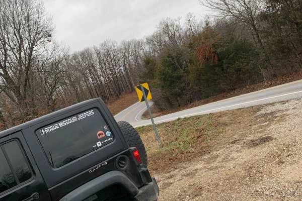
FR 1180 (Left Fork)
This is the perfect trail if you are looking to get out and enjoy the Mark Twain National Forest. This trail is very straightforward and can be easily completed solo. 4WD is not needed as this does not have any obstacles and the trail is very well maintained. There are some spots where it is a littl...
Learn more about FR 1180 (Left Fork)
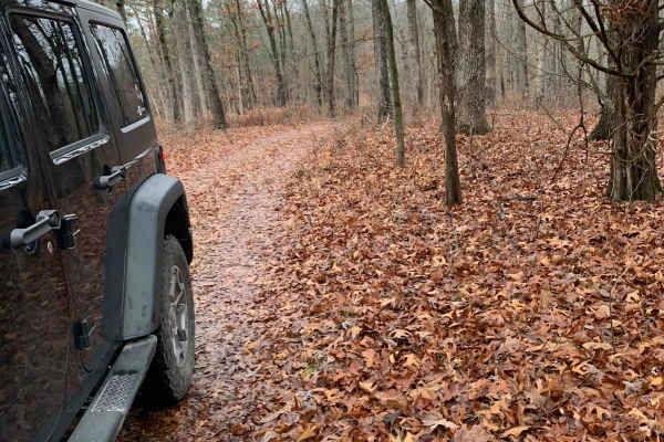
FR 1181 to Scroggins Ridge
If entering from 76, this trail will be on the right side of the fork and starts off easy, but if entering from Scroggins, the trail starts off difficult. This trail offers some gorgeous views of the Mark Twain National Forest. There are no spots to camp along this trail nor are there any clearings ...
Learn more about FR 1181 to Scroggins Ridge
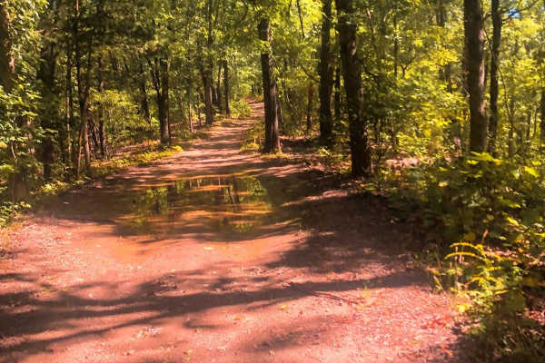
Moss Gap Staircase
This is a great shorter trail that branches off the main trail on Mary Cole Ridge. This trail is about a mile and a half long of various rocky roads, with occasional bypasses to get around some of the staircase-like rocks. The bypasses are very narrow in some spots, making it difficult if you have a...
Learn more about Moss Gap Staircase
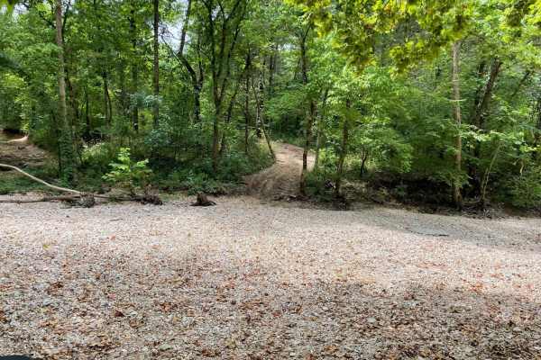
FR 1060 - Northern Portion
You can expect an excellent, steady rock crawl from Rock Creek Road. There are several stair-step rocks that can be pretty slick if they are wet. This narrow trail would fit only side-by-side, 4-wheelers, or 4X4 lifted vehicles. The trail has the potential to have a lot of fallen trees if a storm ha...
Learn more about FR 1060 - Northern Portion
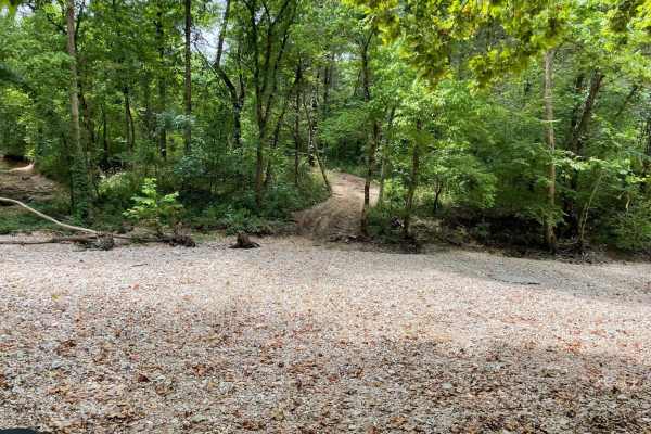
FR 1060 - Mary Cole Ridge
Coming from Rock Creek Rd, you can expect an excellent, steady rock crawl. Several stair-step rocks can be pretty slick if they are wet. This narrow trail would fit only side-by-side, 4-wheelers, or 4X4 lifted vehicles. The trail has the potential to have a lot of fallen trees if a storm has just re...
Learn more about FR 1060 - Mary Cole Ridge
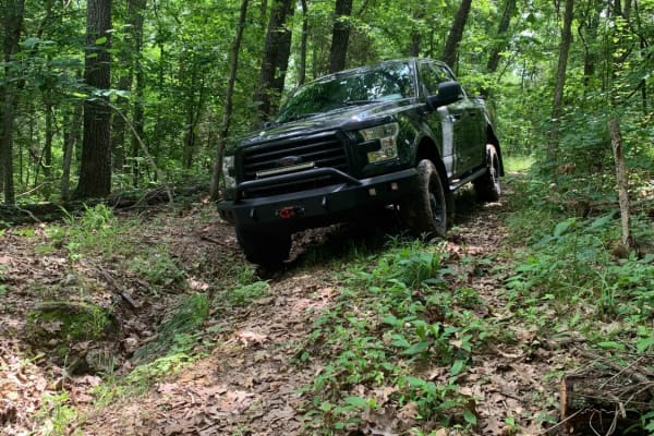
Williams Branch
Williams Branch Forest Road 1157 is a narrow-overgrown trail that varies in elevation between pine forests on the ridges to thick hardwoods in the lower areas. Passing by the marked campsite the trail becomes narrower and more overgrown. Expect pinstripes on a full-size rig. 4Low is highly recommend...
Learn more about Williams Branch
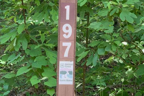
Mark Twain National Forest Scenic Drive
This is a Mark Twain National Forest Scenic Byway Drive between Highway 112 and 86 in southwest Missouri near Roaring River State Park and Eagle Rock, Missouri. Following NF Road 197 or FR 2275, it is an 8-mile east-west route that consists of well-maintained gravel roads that can be traveled by any...
Learn more about Mark Twain National Forest Scenic Drive
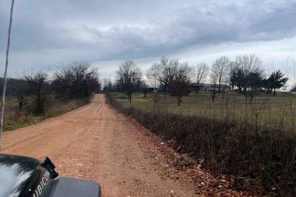
Palm Dirt Road
Ready to take a quick break after a long day? Look no further than Palm Road, the perfect dirt road that will curb your craving of going off road. This road is great at any time of year and is the perfect trail for any skill level. This road can be accessed by all vehicle types.
Learn more about Palm Dirt Road
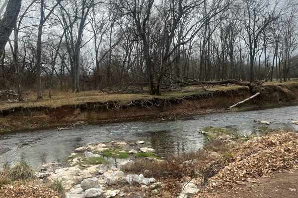
Country Road Nec35A
Take a break from the daily hustle and bustle of paved roads and enjoy a scenic view. This dirt road is perfect for someone looking to get their rig dirty without tearing anything up on their vehicle. There are no large obstacles that would cause any technical issues, this road can easily be travele...
Learn more about Country Road Nec35A
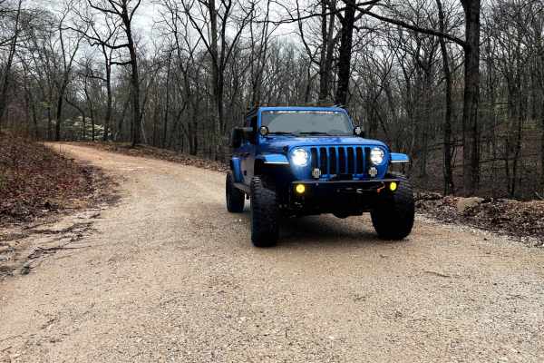
North Old Wire Road
The route is approx 2.4 miles, which is one way of easy, well-maintained gravel roads. The route travels north to south along the far east side of the Pea Ridge National Military Park and can be driven in either direction If you are traveling south to north. It begins at N. Old Wire Rd and Alvin Se...
Learn more about North Old Wire Road
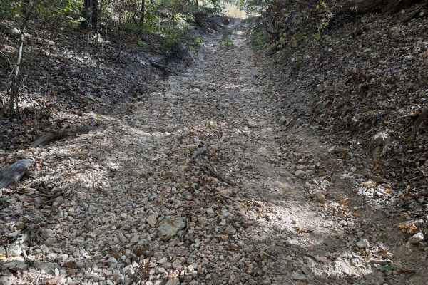
Yellow 67
Yellow 67 is located on the far northeast corner of the park. It is connected to Waterfall 35 at one end and Overflow Parking 34 at the other end. This is a non-directional trail so you can run it from either direction. The base of this trail is loose rock in various sizes.
Learn more about Yellow 67
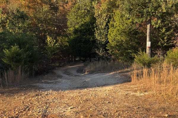
Waterfall 35
Waterfall 35 is a trail located just off Overflow Parking 34. While this is a non-directional trail it is easier to run from where it branches off of Overflow Parking and down to where it connects with Green 1. The bottom area of the trail is more indicative of a waterfall. There are stepped V-notch...
Learn more about Waterfall 35
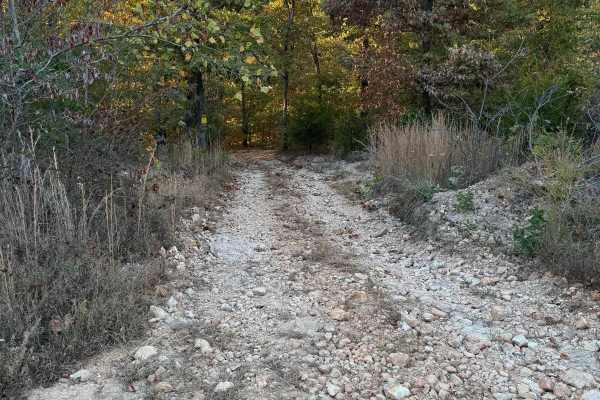
Green 38
Green 38 is located on the far North East corner of the park. This is a nondirectional trail so it can be run from either direction. Green 38 is connected to Overflow Parking 34 at one end and Green 1 at the other end. Depending on how busy the park is you may be able to see some deer or armadillo a...
Learn more about Green 38
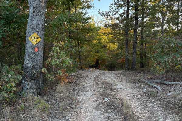
Yellow 40
Yellow 40 is located on the far northeast corner of the park. It connects to Overflow Parking 34 at one end and Yellow 41 at the end. This is a non-directional trail so it can be run in either direction. This trail and Yellow 39 almost share the same entrance from Overflow Parking 34.
Learn more about Yellow 40
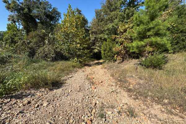
Red 7
Red 7 is the closest trail to the entrance gate that will lead down to the bottom of the North East side of the park. It is connected to Green 1 and Green 32. It is also situated behind some of the bigger cabins and does have spur trails that can lead you back up to some of the cabins.
Learn more about Red 7
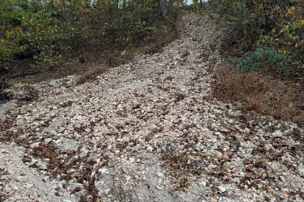
Red 42
Red 42 is a short trail located on the far northeast corner of the park. It is a non-directional trail so you can run it from either end depending on how difficult you want to make it. Going up may be more difficult than going down. Red 42 is connected to Green 1 at one end and Red 7 at the other en...
Learn more about Red 42
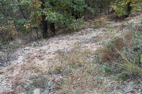
Yellow 41
Yellow 41 is located on the far northeast corner of the park. This is a non-directional trail so it can be run in either direction. Yellow 41 connects to Overflow Parking 34 at one end and Green 1 at the other end. The top of this trail does have a U-shaped entrance depending on which way from Overf...
Learn more about Yellow 41
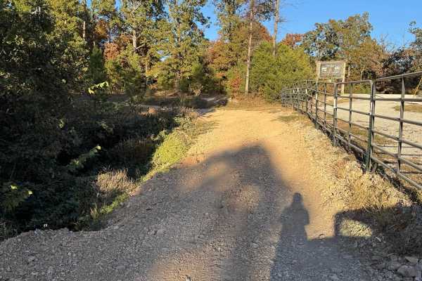
Overflow Parking 34
Overflow parking is just that, a trail that leads you passed the entrance grate to where the overflow parking is located at. Along the way you will pass by other trails like Red 7, Yellow 41, and Waterfall 35. Please be cautious of others potentially coming up from any of the connecting trails.
Learn more about Overflow Parking 34
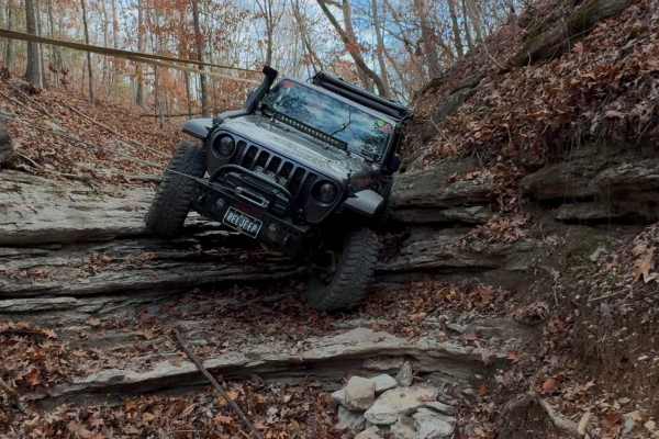
Double Diamond - 275
Double Diamond - 275 is not for the faint of heart. This trail starts out doable by most 4x4 vehicles with a small lift and 35s. It turns into a buggy or bouncer trail. It starts to become more challenging when you are coming down the hill from Green 33. At the bottom of this trail, it connects with...
Learn more about Double Diamond - 275
ATV trails near Butterfield, Missouri
Explore ATV-friendly trails near you. These trails are accessible for vehicles up to 50 inches wide, perfect for ATVs and smaller off-road machines.
FR 1182
This trail will take you from 76 to Farm Road 2185. The first half starts easy with little to no obstacles. Various parts have brush and bendy branches coming onto the trail, so some scratches on your rig can be expected. This trail is heavily wooded with no camping spots along it. Towards the middl...
Learn more about FR 1182
FR 1180 (Left Fork)
This is the perfect trail if you are looking to get out and enjoy the Mark Twain National Forest. This trail is very straightforward and can be easily completed solo. 4WD is not needed as this does not have any obstacles and the trail is very well maintained. There are some spots where it is a littl...
Learn more about FR 1180 (Left Fork)
FR 1181 to Scroggins Ridge
If entering from 76, this trail will be on the right side of the fork and starts off easy, but if entering from Scroggins, the trail starts off difficult. This trail offers some gorgeous views of the Mark Twain National Forest. There are no spots to camp along this trail nor are there any clearings ...
Learn more about FR 1181 to Scroggins Ridge
Moss Gap Staircase
This is a great shorter trail that branches off the main trail on Mary Cole Ridge. This trail is about a mile and a half long of various rocky roads, with occasional bypasses to get around some of the staircase-like rocks. The bypasses are very narrow in some spots, making it difficult if you have a...
Learn more about Moss Gap Staircase
UTV/side-by-side trails near Butterfield, Missouri
Find UTV and side-by-side trails near you. These trails accommodate vehicles up to 60 inches wide, ideal for UTVs, side-by-sides, and wider off-road rigs.
FR 1182
This trail will take you from 76 to Farm Road 2185. The first half starts easy with little to no obstacles. Various parts have brush and bendy branches coming onto the trail, so some scratches on your rig can be expected. This trail is heavily wooded with no camping spots along it. Towards the middl...
Learn more about FR 1182
FR 1180 (Left Fork)
This is the perfect trail if you are looking to get out and enjoy the Mark Twain National Forest. This trail is very straightforward and can be easily completed solo. 4WD is not needed as this does not have any obstacles and the trail is very well maintained. There are some spots where it is a littl...
Learn more about FR 1180 (Left Fork)
FR 1181 to Scroggins Ridge
If entering from 76, this trail will be on the right side of the fork and starts off easy, but if entering from Scroggins, the trail starts off difficult. This trail offers some gorgeous views of the Mark Twain National Forest. There are no spots to camp along this trail nor are there any clearings ...
Learn more about FR 1181 to Scroggins Ridge
Moss Gap Staircase
This is a great shorter trail that branches off the main trail on Mary Cole Ridge. This trail is about a mile and a half long of various rocky roads, with occasional bypasses to get around some of the staircase-like rocks. The bypasses are very narrow in some spots, making it difficult if you have a...
Learn more about Moss Gap Staircase
The onX Offroad Difference
onX Offroad combines trail photos, descriptions, difficulty ratings, width restrictions, seasonality, and more in a user-friendly interface. Available on all devices, with offline access and full compatibility with CarPlay and Android Auto. Discover what you're missing today!
Open Trail Map