
Dirt Bike Trails
Near Butler, Tennessee
Explore All Dirt Bike Trails Near Butler, Tennessee
Dirt Bike Trails Near Butler, Tennessee
Discover the best dirt bike trails near you. Browse trail maps, check difficulty ratings, and find your next adventure — whether you're looking for a quick ride or an all-day expedition.
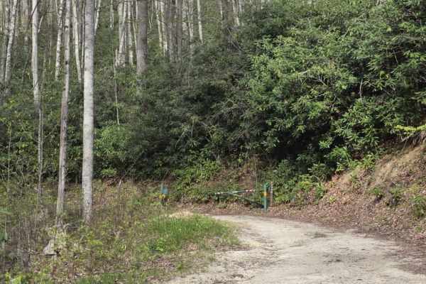
Little Pond Mountain
Little Pond Mountain is a sandy spur off Little Stoney Creek that offers a slightly more varied driving experience while remaining approachable for most drivers. The surface is primarily sand with intermittent rocky sections that add light variation. Traction can change depending on conditions, and ...
Learn more about Little Pond Mountain
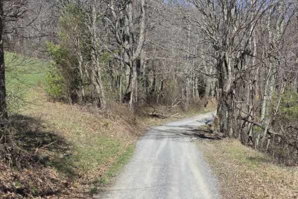
Heaton Branch Road
Heaton Branch Road is an easy gravel route that offers a straightforward drive with a few features that require driver awareness. The road consists of a traditional gravel surface and includes numerous twists and turns, making it important to stay attentive, especially when visibility is limited aro...
Learn more about Heaton Branch Road
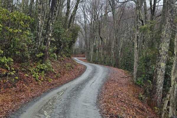
Little Stoney Creek
Little Stoney Creek Road is a scenic mountain route that winds along Little Stoney Creek just outside of Hampton, Tennessee. Nestled within the Cherokee National Forest, this trail offers a peaceful ride through dense hardwood forest and classic Appalachian terrain. The road is primarily gravel with...
Learn more about Little Stoney Creek
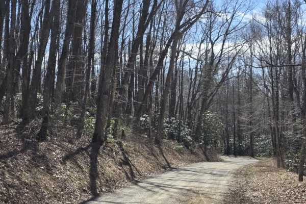
Walnut Mountain Road
Walnut Mountain Road is an easy gravel route that winds through a mix of rural and forested terrain, including sections of the Cherokee National Forest. The road is generally wide enough for two vehicles and follows gentle grades, making it accessible for most drivers under normal conditions. Along ...
Learn more about Walnut Mountain Road
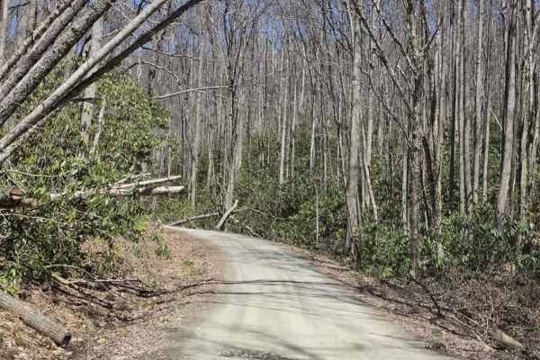
Laurel Fork
Laurel Fork is a scenic gravel route that offers a relaxed drive with occasional exposure and limited passing opportunities. The road is primarily one lane with tight curves, requiring drivers to remain alert for oncoming traffic and use designated pull-offs when available. The surface is generally ...
Learn more about Laurel Fork
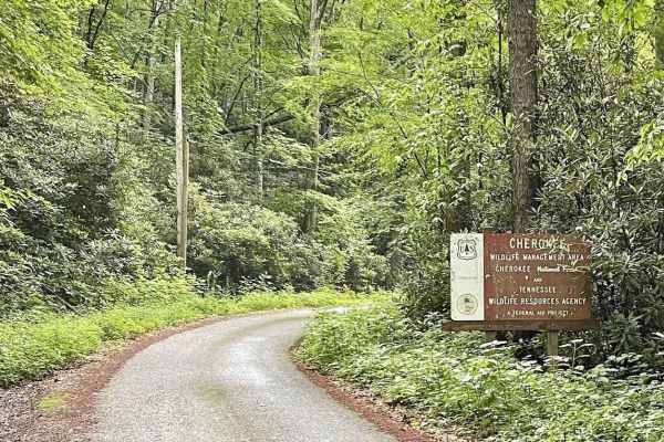
Little Stoney Creek/Laurel Fork
A nice, simple trail connecting Watauga Lake and Dennis Cove Campground through the Cherokee National Forest. There are a few decent camping spots, no cellular service, and minimal traffic. However, it is single lane in most places and extremely curvy with elevation changes and many blind spots, so ...
Learn more about Little Stoney Creek/Laurel Fork
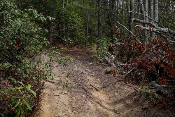
24
Trail 24 is a short, quarter-mile connector between Trails 26 and 28. It features one steep corner that switchbacks up the hill, followed by a steep descent down to 28. The trail is mostly smooth with hardly any rocks, just shallow ruts. It's lined with rhododendron, and logs have been cut back to c...
Learn more about 24
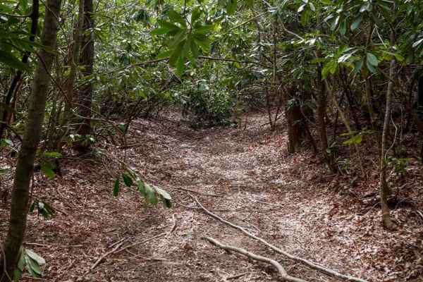
526
Trail 526 begins as a relatively easy route with small loose rock and occasional puddles, winding through dense rhododendron thickets that create a lush, almost jungle-like atmosphere. The trail passes a storm shelter and gradually narrows as the vegetation thickens into a low canopy tunnel. While t...
Learn more about 526
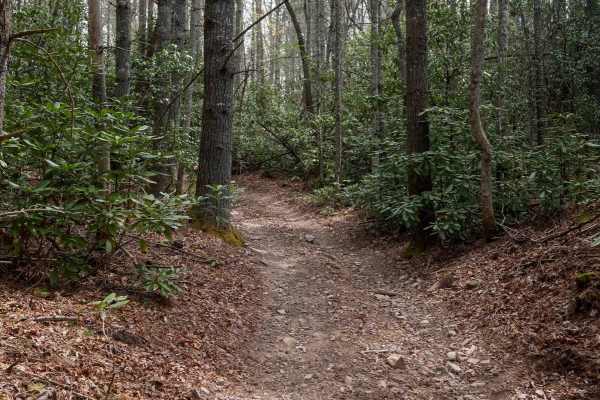
326
Trail 326 forms a scenic .6-mile loop branching off Trail 26, offering a mellow ride through thick rhododendron thickets and dense canopy cover that gives the route a lush, jungle-like ambiance. The trail is mostly smooth with a few small roots, puddles, and shallow ruts, making it accessible and en...
Learn more about 326
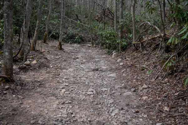
26
Trail 26 is a more challenging 2.2-mile descent from south to north, dropping nearly 1,000 feet in elevation through lush forest lined with rhododendron and tall, slender trees. The trail begins moderately but quickly transitions into a steep and rocky downhill, full of large, loose, football-sized ...
Learn more about 26
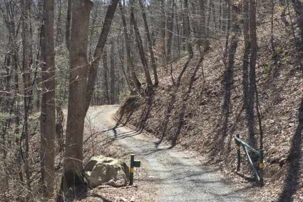
Cedar Gap
Cedar Gap Trail is an easy dirt route located within Cherokee National Forest, offering a quiet out-and-back drive through lightly maintained forest terrain. The trail is primarily a single-lane dirt path with periodic pull-offs and larger clearings that allow vehicles to pass or stop comfortably. O...
Learn more about Cedar Gap
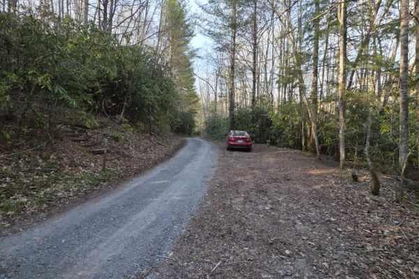
Bitter End - Lacy Trap
Bitter End – Lacy Trap is a moderately easy out-and-back trail that offers a mix of surface variation and light obstacles throughout. The trail begins with an entrance that may appear to lead onto private land, but it is a designated route—continue through the gate and cross both cattle guards to ac...
Learn more about Bitter End - Lacy Trap
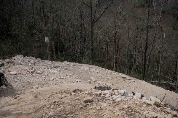
22
Trail 22 begins with a smooth, gradual climb from Trail 1 before rounding a blind corner into a series of descending switchbacks down the mountainside. Most turns are wide and manageable, though a few are steeper and tighter with loose rock and dirt under the tire. A wide shoulder on a couple of the...
Learn more about 22
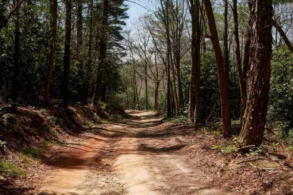
23
Trail 23 at Doe Mountain Recreation Area offers a wide, well-maintained path ideal for SxS drivers seeking a smooth, fast east-west connector. Much like Trail 21, it features broad, gradual curves and a nearly debris-free surface, making for an easy and enjoyable ride. Drivers will pass a storm shel...
Learn more about 23
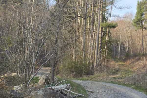
Laurel Mountain / White Rock
Laurel Mountain / White Rock is a moderately easy trail that offers a mix of dirt and rock surfaces with enough variation to keep drivers engaged. The route features scattered ruts from rain, shelf road sections, and a series of tight curves that require attention to positioning and speed. While the...
Learn more about Laurel Mountain / White Rock
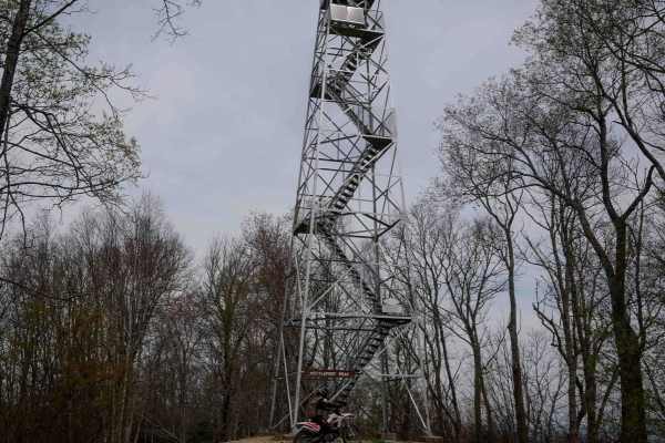
25
Trail 25 is a 0.2-mile spur up to the Kettlefoot Lookout Tower. The trail has small loose rocks and some bigger embedded ones that make it a jarring ride, but not difficult. The lookout tower is a great place to take a break and eat lunch, and soak up the views. For those not afraid of heights, clim...
Learn more about 25
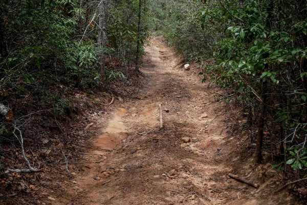
821
Trail 821 is a short, half-mile connector linking Trail 21 to Trail 23, offering a steeper climb from south to north. Though it's narrower than surrounding trails and winds through dense rhododendron, it remains mostly smooth with only mild trail debris--loose rocks, sticks, and occasional low branc...
Learn more about 821
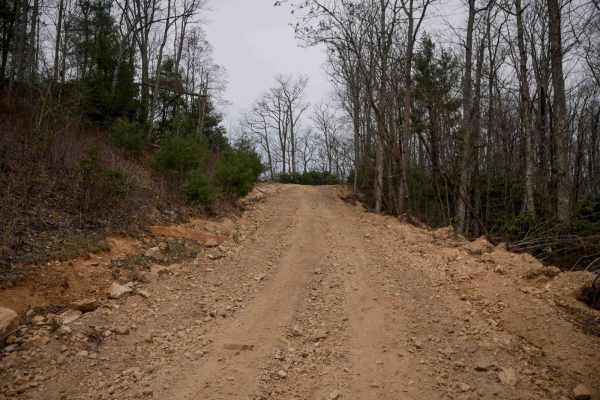
20
Trail 20 is a short, scenic climb branching off from Trail 1, offering a more gradual ascent to the Lofty Top Overlook compared to the steeper Trail 20B. Though not as steep, it's super wide, and it's a bit rockier--expect shallow ruts and small loose rocks, but nothing too technical. After the clim...
Learn more about 20
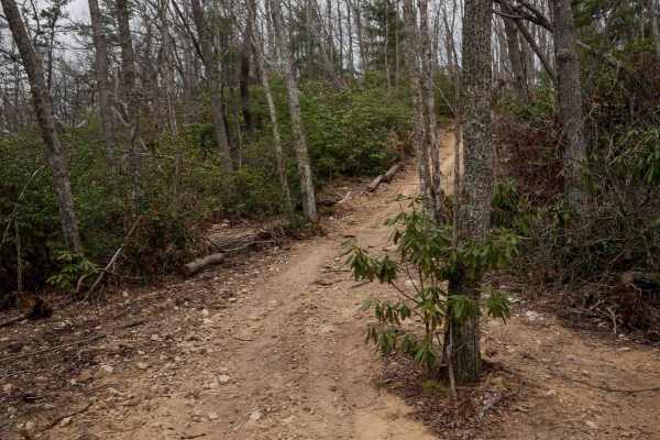
20B
Trail 20B is a short but very steep spur leading from Trail 1 up to the Lofty Top Overlook, climbing 100 feet in just 0.1 mile. Despite the grade, the trail is wide, with a shallow rut on one side and no major obstacles--just loose, silty dirt underfoot. It's a quick effort for a big reward, offerin...
Learn more about 20B
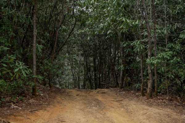
421
Trail 421 is a steep, half-mile climb ascending nearly 400 feet from south to north. The trail feels like a tree tunnel, enclosed by thick rhododendron that gives it a dense, jungle-like atmosphere. The lower half features a smooth surface, but it transitions into a rockier climb as you continue nor...
Learn more about 421
ATV trails near Butler, Tennessee
Explore ATV-friendly trails near you. These trails are accessible for vehicles up to 50 inches wide, perfect for ATVs and smaller off-road machines.
Little Pond Mountain
Little Pond Mountain is a sandy spur off Little Stoney Creek that offers a slightly more varied driving experience while remaining approachable for most drivers. The surface is primarily sand with intermittent rocky sections that add light variation. Traction can change depending on conditions, and ...
Learn more about Little Pond Mountain
Heaton Branch Road
Heaton Branch Road is an easy gravel route that offers a straightforward drive with a few features that require driver awareness. The road consists of a traditional gravel surface and includes numerous twists and turns, making it important to stay attentive, especially when visibility is limited aro...
Learn more about Heaton Branch Road
Little Stoney Creek
Little Stoney Creek Road is a scenic mountain route that winds along Little Stoney Creek just outside of Hampton, Tennessee. Nestled within the Cherokee National Forest, this trail offers a peaceful ride through dense hardwood forest and classic Appalachian terrain. The road is primarily gravel with...
Learn more about Little Stoney Creek
Walnut Mountain Road
Walnut Mountain Road is an easy gravel route that winds through a mix of rural and forested terrain, including sections of the Cherokee National Forest. The road is generally wide enough for two vehicles and follows gentle grades, making it accessible for most drivers under normal conditions. Along ...
Learn more about Walnut Mountain Road
UTV/side-by-side trails near Butler, Tennessee
Find UTV and side-by-side trails near you. These trails accommodate vehicles up to 60 inches wide, ideal for UTVs, side-by-sides, and wider off-road rigs.
Little Pond Mountain
Little Pond Mountain is a sandy spur off Little Stoney Creek that offers a slightly more varied driving experience while remaining approachable for most drivers. The surface is primarily sand with intermittent rocky sections that add light variation. Traction can change depending on conditions, and ...
Learn more about Little Pond Mountain
Heaton Branch Road
Heaton Branch Road is an easy gravel route that offers a straightforward drive with a few features that require driver awareness. The road consists of a traditional gravel surface and includes numerous twists and turns, making it important to stay attentive, especially when visibility is limited aro...
Learn more about Heaton Branch Road
Little Stoney Creek
Little Stoney Creek Road is a scenic mountain route that winds along Little Stoney Creek just outside of Hampton, Tennessee. Nestled within the Cherokee National Forest, this trail offers a peaceful ride through dense hardwood forest and classic Appalachian terrain. The road is primarily gravel with...
Learn more about Little Stoney Creek
Walnut Mountain Road
Walnut Mountain Road is an easy gravel route that winds through a mix of rural and forested terrain, including sections of the Cherokee National Forest. The road is generally wide enough for two vehicles and follows gentle grades, making it accessible for most drivers under normal conditions. Along ...
Learn more about Walnut Mountain Road
The onX Offroad Difference
onX Offroad combines trail photos, descriptions, difficulty ratings, width restrictions, seasonality, and more in a user-friendly interface. Available on all devices, with offline access and full compatibility with CarPlay and Android Auto. Discover what you're missing today!
Open Trail Map