
Dirt Bike Trails
Near Blooming Valley, Pennsylvania
Explore All Dirt Bike Trails Near Blooming Valley, Pennsylvania
Dirt Bike Trails Near Blooming Valley, Pennsylvania
Discover the best dirt bike trails near you. Browse trail maps, check difficulty ratings, and find your next adventure — whether you're looking for a quick ride or an all-day expedition.
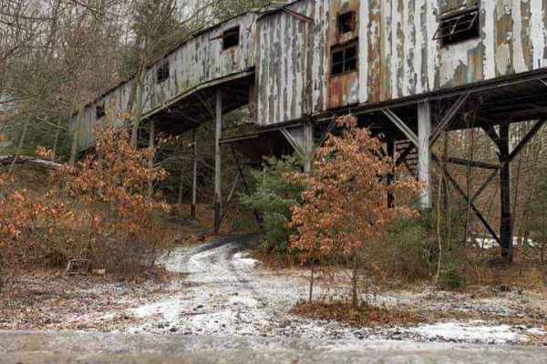
Piney Rail Trail
Please Note: A Piney Rail Riders membership or day pass is required to drive this trail. The trail is designated for dirt bikes, quads, trikes, side by sides, argos, snowmobiles, horses, dual sport bikes, and go karts. Trucks, jeeps, and vehicles designed for on-road driving that are converted for o...
Learn more about Piney Rail Trail
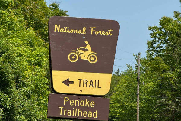
Penoke Trail
This is a challenging 50-inch trail located near Marienville, Pennsylvania, in the Allegheny National Forest. The trail is open to ATVs and SXS 50" or narrower, as well as dirt bikes. The trail is very narrow, and a 50" SXS is a very tight fit through the trees and rocks. There are tons of mud hole...
Learn more about Penoke Trail
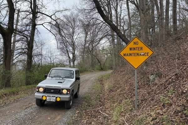
Rock Pit Road
This is a rough dirt/gravel single lane road that varies in difficulty with the season and maintenance. After storms, the road gets very rutted out but is sometimes graded. There is a nice view from the top. The road connects to the piney rail trail for SXSs, but this road is open to vehicles as we...
Learn more about Rock Pit Road
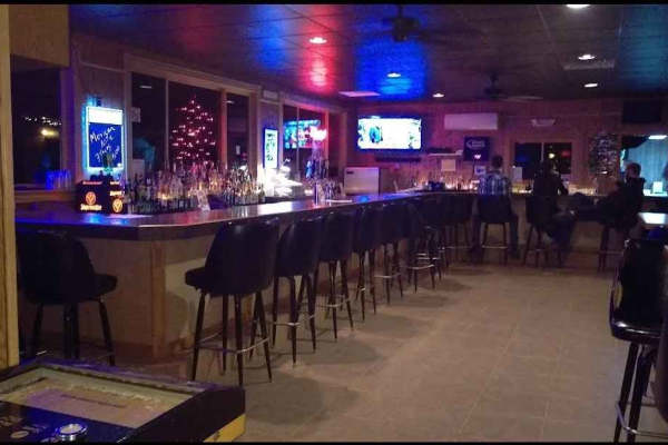
Limestone to Snug Harbor
Limestone to Snug Harbor is an engaging 6.9-mile point-to-point offroad route in Clarion County, Pennsylvania, perfect for recreational riders seeking a scenic journey that connects the Limestone Trailhead directly to a popular local restaurant. This trail blends unpaved dirt paths with legal townsh...
Learn more about Limestone to Snug Harbor
Spring Creek Rd
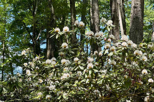
This forest road is the unpaved connector between the western and eastern parts of the Clear Creek & Callen Run tract of Clear Creek State Forest. It connects to PA 949 at either end. Though this featured route ends at the boundary for State Game Land 54 on the eastern end, it does go through. The L...
Learn more about Spring Creek Rd
Trail 51
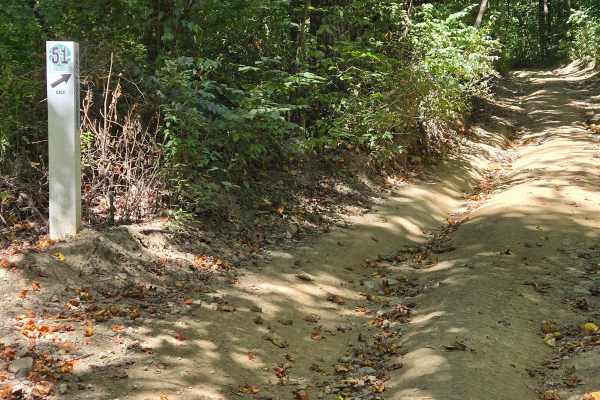
Trail 51 is a More Difficult (Blue) trail with rolling terrain, wider curves, and short climbs. The elevation changes and flow require more rider input than Green trails, earning it a Blue rating. Deep ruts and difficult terrain require careful line choice and controlled throttle. Mud holes often be...
Learn more about Trail 51
Trail 50
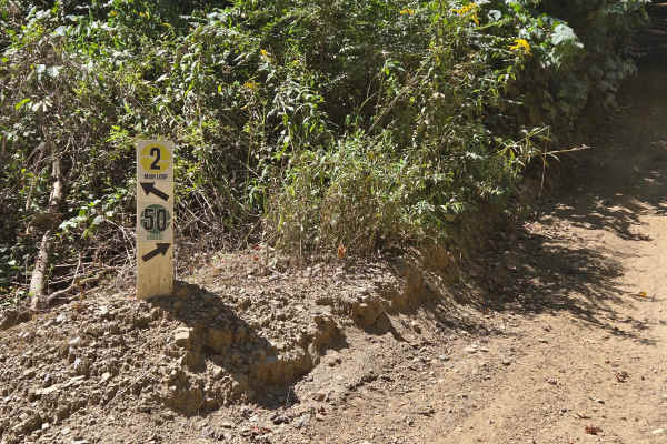
Trail 50 is an Easiest (Green) connector trail with packed dirt, light rock sections, gentle turns, and mild elevation changes. It offers predictable terrain suitable for all riders and is ideal for cruising or linking trail areas. It is part of the 2 Loop trail system. Please stay on marked trails...
Learn more about Trail 50
Members Only Trail 60
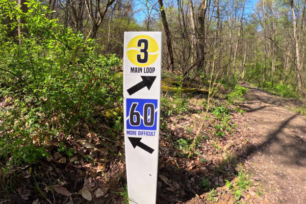
Trail 60 is an intermediate-level, members-only trail that delivers a perfect balance of challenge and scenery. The route features rugged rock formations, rolling terrain, and shaded sections filled with dense ferns. It’s a great choice for riders looking to step up from beginner trails while still ...
Learn more about Members Only Trail 60
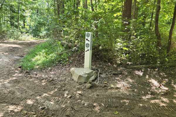
Trail 53
Trail 53 is an Easiest (Green) trail that offers a relaxing ride with a nice view of the surrounding hillside. It earns its Green rating because the trail is generally smooth and predictable, making it a great option for cruising and sightseeing. This area is also known for having a lot of wildlife,...
Learn more about Trail 53
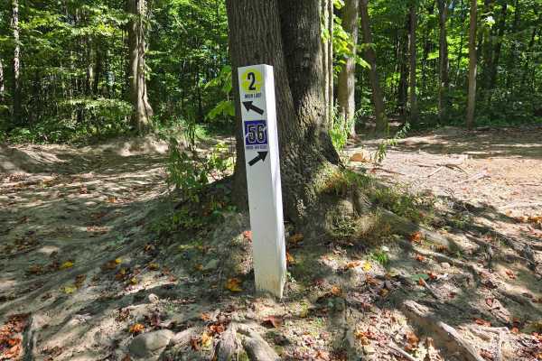
Trail 56
Trail 56 is a More Difficult (Blue) trail within the Wampum Underground trail system and earns its rating through hills and rutted sections that require controlled throttle and smart line choice. The hills become more technical after rain as ruts deepen and traction drops. Trail 56 is a strong inter...
Learn more about Trail 56
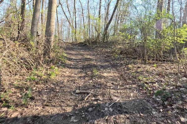
Members Only Trail 3
A scenic members-only trail that winds through a beautiful section of the property featuring striking rock formations and lush fern-covered forest floors. Riders can expect a moderately challenging route with natural terrain that keeps things interesting without being overly technical. Keep an eye o...
Learn more about Members Only Trail 3
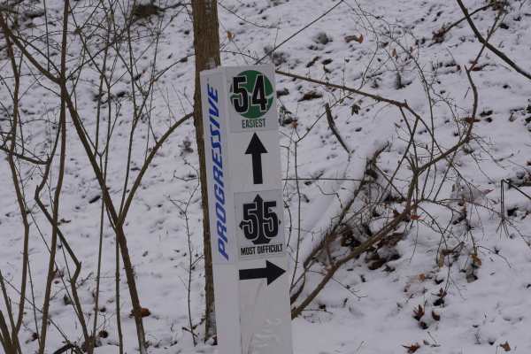
Trail 55
Trail 55 is a Most Difficult (Black) trail and a short but serious challenge within the Wampum Underground trail system. It features deep ruts and difficult terrain that require careful line choice and controlled throttle. Even though it is short, the ruts can force committed tracks and become more ...
Learn more about Trail 55
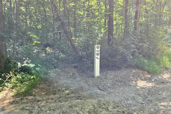
Trail 54
Trail 54 is an Easiest (Green) trail within the Wampum Underground / Trail 2 system. It functions as a connector route that provides access to Trail 55 and Trail 56 and then leads riders back to the main Trail 2 loop. It earns its Green rating because it is designed for straightforward navigation ra...
Learn more about Trail 54
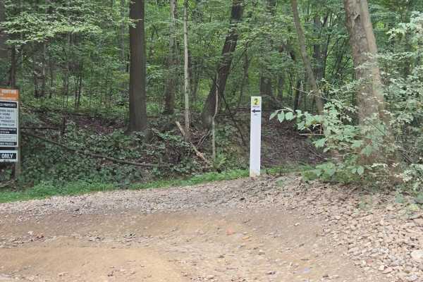
Trail 2
Trail 2 (The 2 Loop) is part of the main riding system and runs around and above the Wampum Underground, an active storage mine and part of the property’s limestone mining history. Riders travel above underground mine passages that have been used as filming locations for movies including "The Avenge...
Learn more about Trail 2
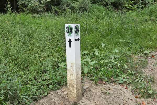
Trail 34
Trail 34 is an Easiest (Green) trail that provides access to the Overflow Parking Lot and connects riders toward the bottom of the Little Hill Climbs area. It is generally predictable and suitable for most riders, but it can become slick after rain or in damp conditions. When approaching the hill se...
Learn more about Trail 34
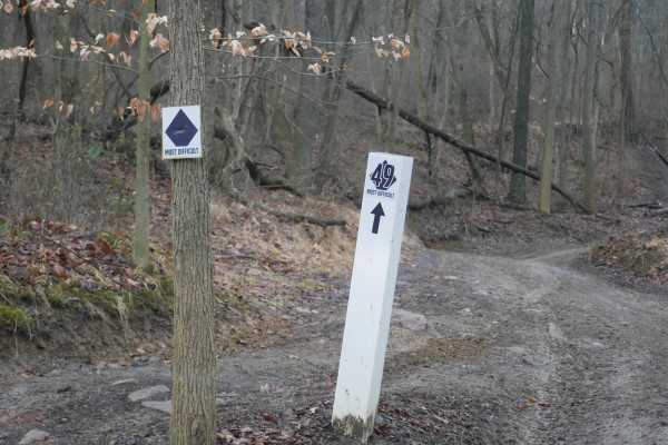
Trail 49
Trail 49 is a Most Difficult (Black) trail featuring deep ruts, close trees, water obstacles, and a difficult hill climb with rocks and ruts. Tight lines and committed tracks leave little room for error, and wet conditions make the climb significantly more technical as ruts deepen and traction drops...
Learn more about Trail 49
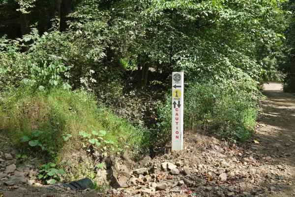
Trail 33
Trail 33 is an Easiest (Green) trail that provides a simple route through this section of the park. It earns its Green rating because it avoids major obstacles like deep water, rock crawls, and steep technical climbs. However, it includes tight trees and sharp turns that require attention, controlle...
Learn more about Trail 33
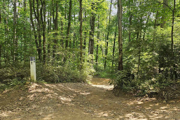
Trail 26
Trail 26 is a Most Difficult (Black) trail that earns its rating through a demanding combination of rocks, mud holes, and steep hill sections. Riders should expect technical terrain where traction changes quickly between rock, loose dirt, and muddy low spots. The hills add difficulty, especially whe...
Learn more about Trail 26
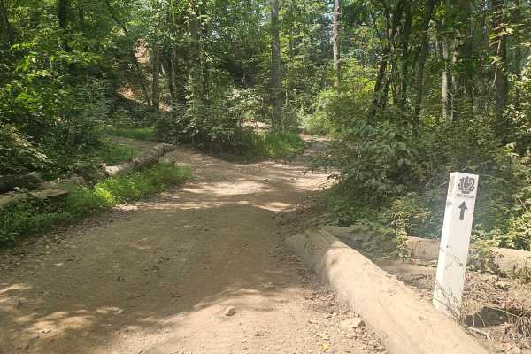
Trail 12
Trail 12 is a Most Difficult (Black) trail that is short but demanding due to steep hill climbs. Traction, momentum, and controlled throttle are critical, especially in wet conditions when the hill becomes slick. Trail 12 leads directly to the OnX Offroad Obstacle Course entrance and viewing area.
Learn more about Trail 12
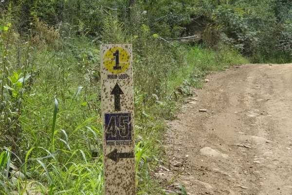
Trail 45
Trail 45 is a Most Difficult (Black) trail that earns its rating through a technical mix of rocks, deep ruts, and tight turns. The trail forces committed lines where ruts limit steering and rocks require deliberate throttle control. Wet conditions make traction unpredictable and increase recovery ri...
Learn more about Trail 45
ATV trails near Blooming Valley, Pennsylvania
Explore ATV-friendly trails near you. These trails are accessible for vehicles up to 50 inches wide, perfect for ATVs and smaller off-road machines.
Piney Rail Trail
Please Note: A Piney Rail Riders membership or day pass is required to drive this trail. The trail is designated for dirt bikes, quads, trikes, side by sides, argos, snowmobiles, horses, dual sport bikes, and go karts. Trucks, jeeps, and vehicles designed for on-road driving that are converted for o...
Learn more about Piney Rail Trail
Penoke Trail
This is a challenging 50-inch trail located near Marienville, Pennsylvania, in the Allegheny National Forest. The trail is open to ATVs and SXS 50" or narrower, as well as dirt bikes. The trail is very narrow, and a 50" SXS is a very tight fit through the trees and rocks. There are tons of mud hole...
Learn more about Penoke Trail
Rock Pit Road
This is a rough dirt/gravel single lane road that varies in difficulty with the season and maintenance. After storms, the road gets very rutted out but is sometimes graded. There is a nice view from the top. The road connects to the piney rail trail for SXSs, but this road is open to vehicles as we...
Learn more about Rock Pit Road
Limestone to Snug Harbor
Limestone to Snug Harbor is an engaging 6.9-mile point-to-point offroad route in Clarion County, Pennsylvania, perfect for recreational riders seeking a scenic journey that connects the Limestone Trailhead directly to a popular local restaurant. This trail blends unpaved dirt paths with legal townsh...
Learn more about Limestone to Snug Harbor
UTV/side-by-side trails near Blooming Valley, Pennsylvania
Find UTV and side-by-side trails near you. These trails accommodate vehicles up to 60 inches wide, ideal for UTVs, side-by-sides, and wider off-road rigs.
Piney Rail Trail
Please Note: A Piney Rail Riders membership or day pass is required to drive this trail. The trail is designated for dirt bikes, quads, trikes, side by sides, argos, snowmobiles, horses, dual sport bikes, and go karts. Trucks, jeeps, and vehicles designed for on-road driving that are converted for o...
Learn more about Piney Rail Trail
Rock Pit Road
This is a rough dirt/gravel single lane road that varies in difficulty with the season and maintenance. After storms, the road gets very rutted out but is sometimes graded. There is a nice view from the top. The road connects to the piney rail trail for SXSs, but this road is open to vehicles as we...
Learn more about Rock Pit Road
Limestone to Snug Harbor
Limestone to Snug Harbor is an engaging 6.9-mile point-to-point offroad route in Clarion County, Pennsylvania, perfect for recreational riders seeking a scenic journey that connects the Limestone Trailhead directly to a popular local restaurant. This trail blends unpaved dirt paths with legal townsh...
Learn more about Limestone to Snug Harbor
Spring Creek Rd
This forest road is the unpaved connector between the western and eastern parts of the Clear Creek & Callen Run tract of Clear Creek State Forest. It connects to PA 949 at either end. Though this featured route ends at the boundary for State Game Land 54 on the eastern end, it does go through. The L...
Learn more about Spring Creek Rd
The onX Offroad Difference
onX Offroad combines trail photos, descriptions, difficulty ratings, width restrictions, seasonality, and more in a user-friendly interface. Available on all devices, with offline access and full compatibility with CarPlay and Android Auto. Discover what you're missing today!
Open Trail Map