
Dirt Bike Trails
Near Big River, California
Explore All Dirt Bike Trails Near Big River, California
Dirt Bike Trails Near Big River, California
Discover the best dirt bike trails near you. Browse trail maps, check difficulty ratings, and find your next adventure — whether you're looking for a quick ride or an all-day expedition.
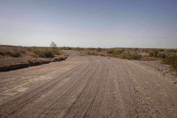
Swansea Townsite
The Swansea Townsite Trail is a historical and scenic route through the remote Arizona desert, offering a mix of graded access road, rugged shelf sections, and challenging terrain, specifically beyond the ghost town. This trail is ideal for those interested in blending light off-roading with a step ...
Learn more about Swansea Townsite
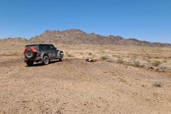
Midland Vidal Road
Used by early settlers to travel between Vidal, California, and the now-ghost town of Midland, the Midland-Vidal Road was perhaps also used by Wyatt Earp, who lived in Vidal for a time. Along the drive, there are wonderful panoramas across Rice Valley and a marvelous perspective of the Rice Valley D...
Learn more about Midland Vidal Road
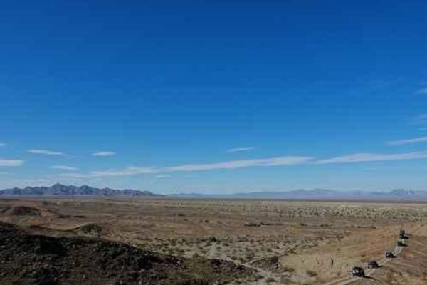
Alice Mine
Alice Mine is an engaging 7.2-mile offroad trail ideal for moderate offroaders looking to explore a historic gold and copper mining site tucked within the Riverside Mountains. The route begins on the flat, sandy desert plains straddling the Riverside and San Bernardino county line before climbing in...
Learn more about Alice Mine
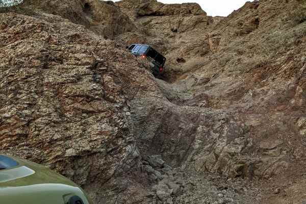
Presiden't Choice Trail
The trail is mainly in canyons and is focused on the challenges of the obstacles rather than viewpoints and scenery. It will challenge your driving and equipment. There are some tight spots that can easily serve up some body damage if you don't have a skilled spotter. The volcanic rock offers great ...
Learn more about Presiden't Choice Trail
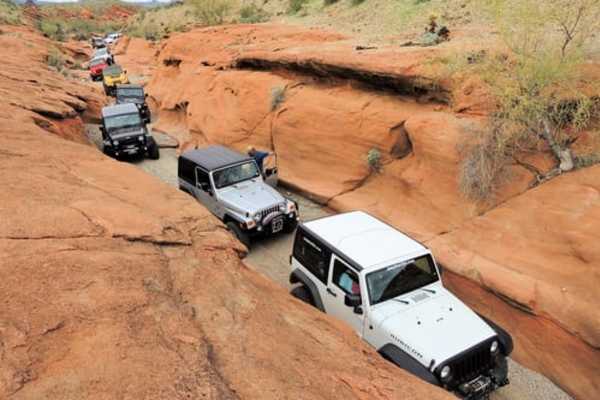
Monument Peak
This trail circles one side of the needle so you can see it from the back. Spoiler: It is more impressive from a distance. This trail is heavily used by quads and side-by-sides. They have caused a lot of whoop-de-dos on much of the trail and it is unpleasant in a Jeep. Go slow and have patience....
Learn more about Monument Peak
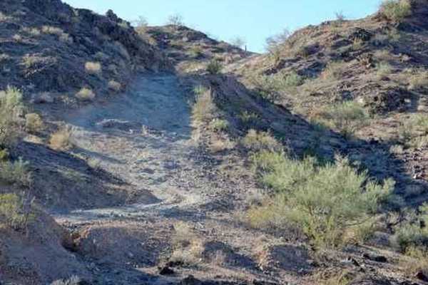
Longo's Curse
Somewhat difficult Jeep trail near Copper Basin. One major obstacle cannot be bypassed. There is nice scenery on this trail, but the major emphasis is on conquering a series of obstacles. The major obstacle is an undercut ledge with a narrow squeeze around a sharp corner. Four-door Jeeps have more...
Learn more about Longo's Curse
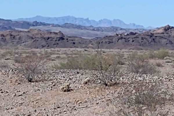
Osborne Wash
This 3.7-mile track, which goes through the Osborne Wash for part of the trail, provides a cut-across trail to get back into Parker or get out to the Swansea Townsite Trail, without having to go clear around to Shea Road. The track is on BLM and Arizona State Trust Lands. The BLM trail numbers are H...
Learn more about Osborne Wash
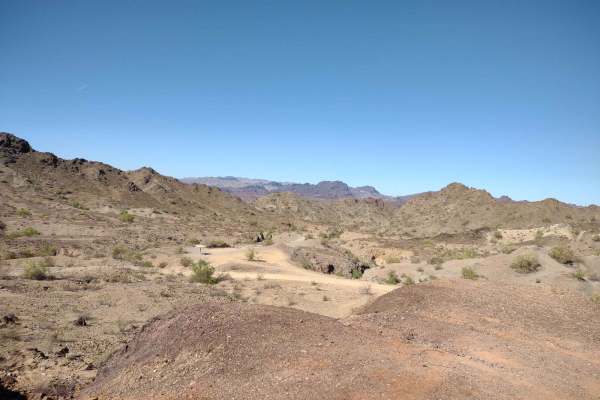
Gibraltar Mountain Wanderings
This 4-mile RT trail uses Trail Hs360 to get a little further into the Gibraltar Mountain Wilderness. This wilderness area is BLM land, and the wildlife possibilities include bighorn sheep, wild donkeys, burros, wild horses, quail, and roadrunners. In the AZ desert, be sure to watch for rattlesnakes...
Learn more about Gibraltar Mountain Wanderings
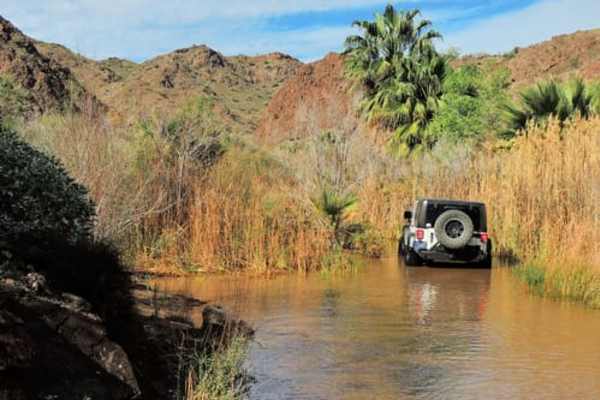
Earp Falls
Earp Falls is created by seepage from Copper Basin Reservoir and is a perennial waterfall. The associated wash is verdant with palm trees and other vegetation not commonly found in this area. The water is cold and clear. This trail is rated 4 from the north end to just south of Earp Falls. There ...
Learn more about Earp Falls
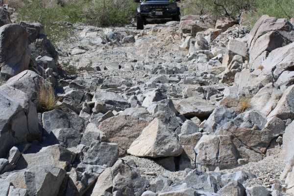
Savahia Peak Mines
This trail cuts through an old mining area and passes down a narrow and challenging wash area near Savahia Peak. It primarily consists of two-track paths on dirt or packed sand surfaces with loose small to medium-sized rocks found often on and alongside the route. In the middle section of the trail,...
Learn more about Savahia Peak Mines

Backway to Desert Bar
This rugged 9.5-mile point-to-point offroad trail is designed for experienced drivers seeking a challenging, scenic alternative to the standard route to the famous Nellie E. Saloon. Spanning an elevation range from 385 to 1,074 feet, the trail navigates through the dramatic desert landscapes of west...
Learn more about Backway to Desert Bar
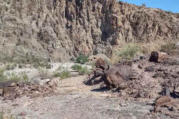
Cienega Springs to Shea
This 9-mile (each way) trail connects Cienega Springs Road and the Back Way to Desert Bar Trail with Shea Road and the Swansea Townsite Trail. You skirt along the edge of the Gibraltar Mountain Wilderness on BLM and Arizona State Trust Lands. The trail is dirt and sand, with rocks in some areas. In ...
Learn more about Cienega Springs to Shea
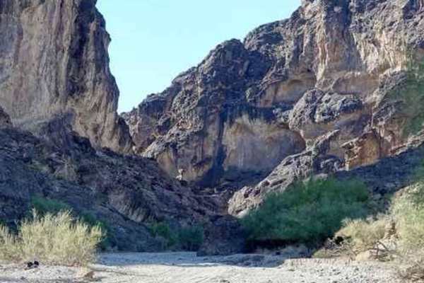
Dynamite Canyon Whipple Mountains
An easy and very enjoyable run through the gorgeous Whipple Mountains and deep Dynamite Canyon. This is one of our favorite trails in this Region. It is an easy run and the scenery is great - Whipple Mountains, Lake Havasu, Lake Havasu City, and Dynamite Canyon. We followed the powerline northwest ...
Learn more about Dynamite Canyon Whipple Mountains
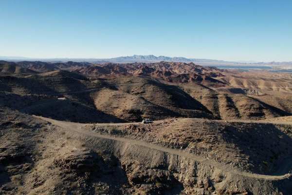
Hightower Trail
This is a fun trail that follows the high line poles out into the desert. If coming from Lake Havasu on the Whipple Mountain Loop Trail, you can stay straight and follow this trail down. Views are incredible, and the road is maintained by the power companies, so it's a pleasant Overlanding type of t...
Learn more about Hightower Trail
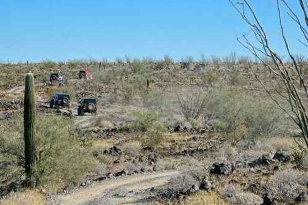
Black Mesa
Great views from a mesa surrounded by the Buckskin Mountains. We are not sure why this trail is called Black Mesa. The USGS Topographic Map calls this formation the trail is on "The Mesa". Perhaps because the mesa appears somewhat black, or perhaps because it would be confusing to refer to as "The...
Learn more about Black Mesa

Cattail Cove
This popular trail offers diverse terrain and plenty of side trails to check out. It takes you through a wide wash with different sized rock obstacles along the way. There is an enormous, flat staging area for motorhomes and other campers at the trailhead. For a interesting side trip, visit Rovey's...
Learn more about Cattail Cove
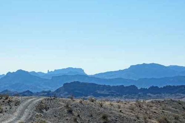
Red Line
Red Line is mostly a long series of short, steep hills with enough obstacles thrown in to keep it interesting. This Standard Wash area has an uncountable number of legal Jeep trails. Red Line gives you a sampling of the region. There are numerous other named trails, including quite a few that are ...
Learn more about Red Line

McCraken Rockhouse Cabin
This is a short trail that is a long way from anywhere - along the south part of Alamo Road. It can be reached from Parker via Planet Ranch to Alamo Road, and from Lake Havasu via the Alamo Road or via the trail described here. This route is described as starting in Standard Wash south of Lake Hava...
Learn more about McCraken Rockhouse Cabin
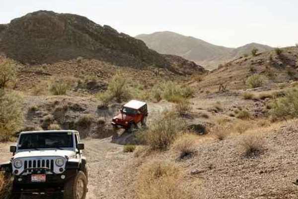
El Supremo
This trail has a nice slot canyon, great desert scenery, and a slanted squeeze that can ding up a fender flare. We did this trail in a counterclockwise direction, putting the slot canyon at the beginning of the trip. The run can be done in either direction. The trail is not terribly difficult so we...
Learn more about El Supremo

Planet Mine
The first spur leads to a high spot that overlooks a canyon peppered with shafts and tailings. There are dozens of individual mines. The second spur leads down a wash and stops where the wash pours steeply into the canyon. Scramble down into the bottom of the canyon to view many, many mines. It a...
Learn more about Planet Mine
ATV trails near Big River, California
Explore ATV-friendly trails near you. These trails are accessible for vehicles up to 50 inches wide, perfect for ATVs and smaller off-road machines.
Swansea Townsite
The Swansea Townsite Trail is a historical and scenic route through the remote Arizona desert, offering a mix of graded access road, rugged shelf sections, and challenging terrain, specifically beyond the ghost town. This trail is ideal for those interested in blending light off-roading with a step ...
Learn more about Swansea Townsite
Midland Vidal Road
Used by early settlers to travel between Vidal, California, and the now-ghost town of Midland, the Midland-Vidal Road was perhaps also used by Wyatt Earp, who lived in Vidal for a time. Along the drive, there are wonderful panoramas across Rice Valley and a marvelous perspective of the Rice Valley D...
Learn more about Midland Vidal Road
Alice Mine
Alice Mine is an engaging 7.2-mile offroad trail ideal for moderate offroaders looking to explore a historic gold and copper mining site tucked within the Riverside Mountains. The route begins on the flat, sandy desert plains straddling the Riverside and San Bernardino county line before climbing in...
Learn more about Alice Mine
Monument Peak
This trail circles one side of the needle so you can see it from the back. Spoiler: It is more impressive from a distance. This trail is heavily used by quads and side-by-sides. They have caused a lot of whoop-de-dos on much of the trail and it is unpleasant in a Jeep. Go slow and have patience....
Learn more about Monument Peak
UTV/side-by-side trails near Big River, California
Find UTV and side-by-side trails near you. These trails accommodate vehicles up to 60 inches wide, ideal for UTVs, side-by-sides, and wider off-road rigs.
Swansea Townsite
The Swansea Townsite Trail is a historical and scenic route through the remote Arizona desert, offering a mix of graded access road, rugged shelf sections, and challenging terrain, specifically beyond the ghost town. This trail is ideal for those interested in blending light off-roading with a step ...
Learn more about Swansea Townsite
Midland Vidal Road
Used by early settlers to travel between Vidal, California, and the now-ghost town of Midland, the Midland-Vidal Road was perhaps also used by Wyatt Earp, who lived in Vidal for a time. Along the drive, there are wonderful panoramas across Rice Valley and a marvelous perspective of the Rice Valley D...
Learn more about Midland Vidal Road
Alice Mine
Alice Mine is an engaging 7.2-mile offroad trail ideal for moderate offroaders looking to explore a historic gold and copper mining site tucked within the Riverside Mountains. The route begins on the flat, sandy desert plains straddling the Riverside and San Bernardino county line before climbing in...
Learn more about Alice Mine
Presiden't Choice Trail
The trail is mainly in canyons and is focused on the challenges of the obstacles rather than viewpoints and scenery. It will challenge your driving and equipment. There are some tight spots that can easily serve up some body damage if you don't have a skilled spotter. The volcanic rock offers great ...
Learn more about Presiden't Choice Trail
The onX Offroad Difference
onX Offroad combines trail photos, descriptions, difficulty ratings, width restrictions, seasonality, and more in a user-friendly interface. Available on all devices, with offline access and full compatibility with CarPlay and Android Auto. Discover what you're missing today!
Open Trail Map