
Dirt Bike Trails
Near Baker, Missouri
Explore All Dirt Bike Trails Near Baker, Missouri
Dirt Bike Trails Near Baker, Missouri
Discover the best dirt bike trails near you. Browse trail maps, check difficulty ratings, and find your next adventure — whether you're looking for a quick ride or an all-day expedition.
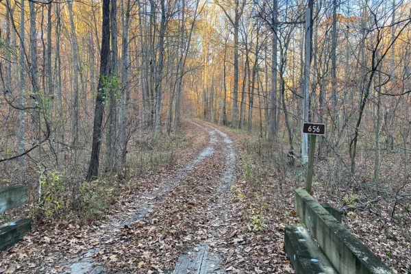
Honey School Road SFR 656/656C
The Honey School Road (SFR 656 & 656C) is a forestry trial in Shawnee National Forest that leads to an old fire tower plot and then loops back to the main road it is connected to, which is Wolf Creek Road, in its own right is a very scenic gravel forestry road. The 656 section is a maintained gravel...
Learn more about Honey School Road SFR 656/656C
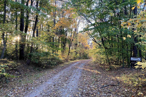
Gale Trail Road FSR 272
Gale Trail Road (or the 272) is a Shawnee Nation Forest gravel nature viewing trail that has slowly degraded into a trail that gives a challenge, yet remains scenic. The farther west you go, the less maintained and tighter it gets. Expect ruts, medium-grade hills, occasional mud pits, and split-up s...
Learn more about Gale Trail Road FSR 272
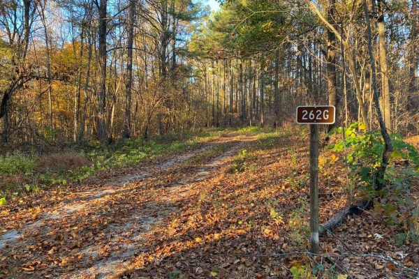
Slick Ridge FSR 262G
The Slick Ridge FSR 262G is a mildly challenging natural fire road that has the reward of a great view of Shawnee National Forest. It features an off-camber eroded section that will test your articulation and clearances. It runs you through several small mud holes and a small grade with tree roots. ...
Learn more about Slick Ridge FSR 262G
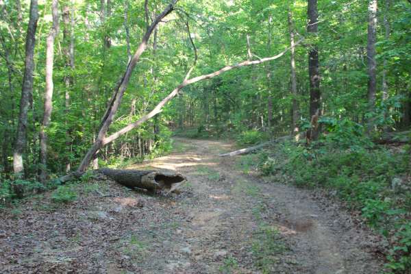
Sheehy Road - FS 3741
Sheehy Road (FS 3741) is a natural gravel and dirt forest service road within the Poplar Bluff Unit of Mark Twain National Forest. Sheehy Road begins heading north where County Road 431/FS 3664 meets its northeast end at private property, First the road crosses a small brook with a splash level of w...
Learn more about Sheehy Road - FS 3741
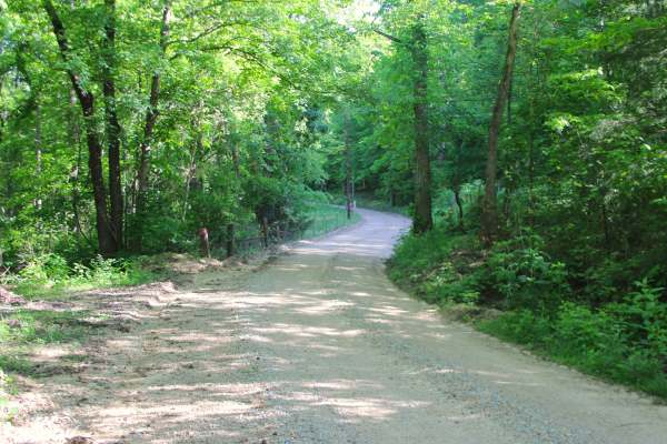
Section 22 - BCR 431 FS 3664
Section 22 (FS 3664) and Butler County Road 431 is a gravel road, made up of Butler County right of way and partly within the Poplar Bluff Unit of Mark Twain National Forest. The gravel road begins heading north off Missouri Route PP, along the Crooked Branch and Cane Creek along its track, placed o...
Learn more about Section 22 - BCR 431 FS 3664
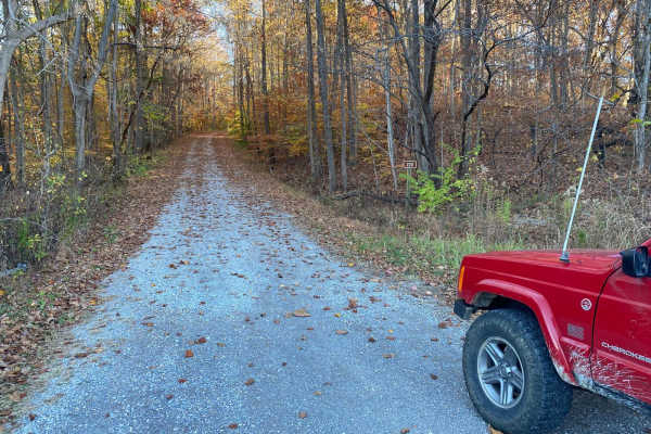
McCraven SFR 220
McCraven SFR 220 is a very scenic nature-viewing gravel road in Shawnee National Forest. It is a very easy trail with a minimal challenge, but there are a few muddy crossings and water collection spots within its medium-grade graveled hills. It also features a couple of branch trails, the SFR 504 an...
Learn more about McCraven SFR 220
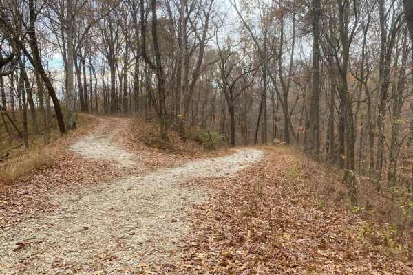
Turkey Trot FSR 627/643
The Turkey Trot (FSR 627) and FSR 643 are two trails that seamlessly connect to form one 2-mile trail inside the Opossum Trot Road trail system inside Shawnee National Forest. These trails together range from mild to hard. It starts with narrow rutted ridges with small mud pits and off-camber eroded...
Learn more about Turkey Trot FSR 627/643

VICTORY SCHOOL (FS 3117)
This is a smooth, well-maintained gravel road until 1.25 miles in then slightly rougher with a few small washouts. The trail is a dead-end trail but has a good turnaround point and would be a good place to camp overnight. There may be hunters in the area during the hunting season in fall and spring.
Learn more about VICTORY SCHOOL (FS 3117)
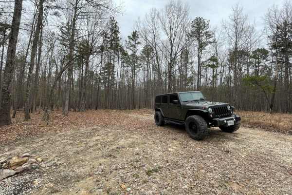
SOUTH GOOSE (FS3116)
This is a nice single-lane, maintained gravel road. The trail has a small creek crossing with some good views. This trail is closed from 3/15-5/31 for the spring turkey season. It is walk in only for those dates. It has a nice turn around along with a great camping spot at the end of the trail.
Learn more about SOUTH GOOSE (FS3116)
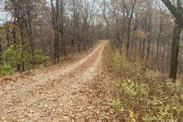
Bull Durham SFR 642
The Bull Durham SFR 642 is a branch trail of the Opossum Trot Trail System in Shawnee National Forest. The Bull Durham is quick to thrill with not much time in between its obstacles, it features a rutted hill within .2 mile of the entrance, followed by small mud puddles. Then, leading to a rutted co...
Learn more about Bull Durham SFR 642
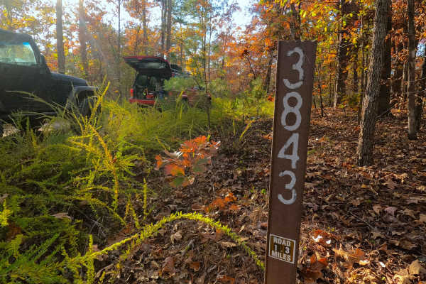
Fox Trot - FS 3843
Fox Trot (FS 3843) is a semi-maintained gravel Forest Service road within the Poplar Bluff Unit of Mark Twain National Forest. Fox Trot takes off from the Wayne County 403 heading west towards the Otter Creek Valley, following the small elevation changes of the lower spines of the ridge, passing by ...
Learn more about Fox Trot - FS 3843
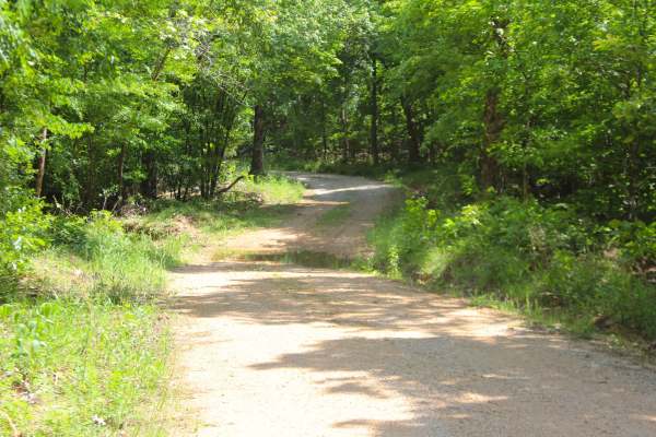
Malady Hollow - FS 3776
Malady Hollow (FS 3776) is a gravel and dirt forest service road within the Poplar Bluff Unit of Mark Twain National Forest. Starting from the eastbound lanes of US-60, the road heads south, climbing a right-of-way hillside along the highway, to level out before dropping down a hill into the valley ...
Learn more about Malady Hollow - FS 3776
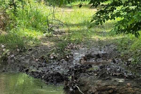
Hillside Adventure
This is, in my opinion, one of the coolest trails for full-size rigs — or really any rig. It offers beautiful deep-forest views, with obstacles along the way ranging from rocks and creek crossings to mud holes, making it a fun trail to run. Be mindful of others, as this is a two-way trail that goes ...
Learn more about Hillside Adventure
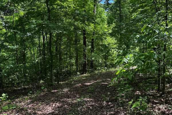
Hillside 69
The Hillside area contains a few different “main” trails, with this one being one of the longer routes stretching from the northern gate almost down to the Hillside entrance trail. It features beautiful forest scenery and a few fun obstacles along the way. Be mindful of others in this area, as there...
Learn more about Hillside 69
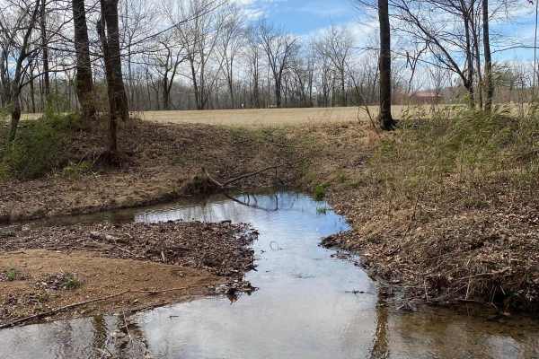
Nasty Climb 1
Extreme extreme extreme. Not for the faint of heart. Nasty climb 1 is debatably nastier than 2, but both have their features that make them very gnarly. Not recommended for full-size rigs or non-caged rigs. Be mindful of others in the area and be respectful of the park.
Learn more about Nasty Climb 1
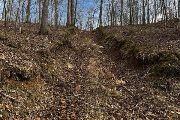
Nasty Climb 2
This trail has one of the hardest, if not the hardest obstacle in the park. This trail has extreme terrain, massive washouts, and huge rocks along your way up this nasty climb. This is not recommended for full-size or non-caged vehicles. Be mindful of others who may be trying the obstacle and be cle...
Learn more about Nasty Climb 2
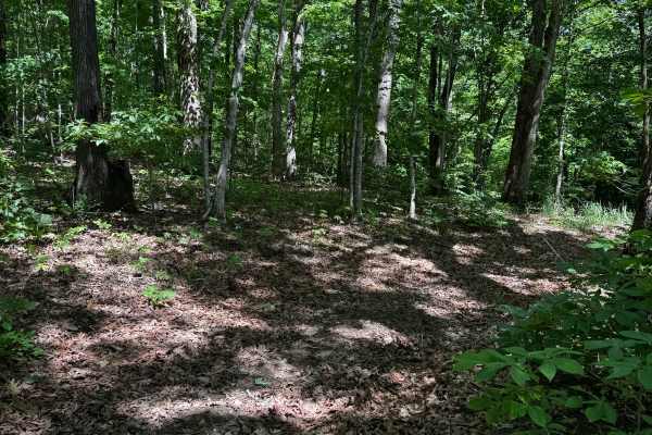
Hillside 69.5
Spurring right off Hill Climb Back Side, this cut trail takes you to the start of Hillside 69. Although it’s a shorter track, it still offers beautiful scenery and a few small obstacles along the way to keep things a little fun. Be mindful of the ruts, as they can become very slick.
Learn more about Hillside 69.5
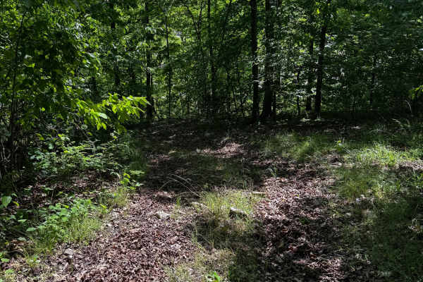
Hillside 70
Spurring right off the Hillside Entrance Trail, this route leads up to the three-way intersection for 69 and 69.5. It features fun forest scenery, narrow tracks with small ruts, and a couple of mud holes. Be mindful of others on this trail, as it can be a little narrow in some areas.
Learn more about Hillside 70
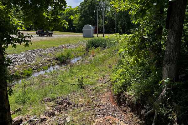
Hillside 70.5
Starting at the bottom, almost as soon as you pull into the park after passing through the main gate, you’ll be greeted by some rocks and a bit of an uphill climb into the hillside area. This continues along the main hillside section of the trail. It’s a personal favorite in the park and is beautifu...
Learn more about Hillside 70.5
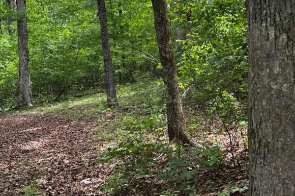
Hillside Back Side to Gate
This trail starts at the top of Red Clay Hill and makes its way deep into the trees, with lots of small spur trails and obstacles along the way. You will need to be mindful of big bouncers in this area, as it hosts quite a few of the park’s gnarliest obstacles.
Learn more about Hillside Back Side to Gate
ATV trails near Baker, Missouri
Explore ATV-friendly trails near you. These trails are accessible for vehicles up to 50 inches wide, perfect for ATVs and smaller off-road machines.
Honey School Road SFR 656/656C
The Honey School Road (SFR 656 & 656C) is a forestry trial in Shawnee National Forest that leads to an old fire tower plot and then loops back to the main road it is connected to, which is Wolf Creek Road, in its own right is a very scenic gravel forestry road. The 656 section is a maintained gravel...
Learn more about Honey School Road SFR 656/656C
Gale Trail Road FSR 272
Gale Trail Road (or the 272) is a Shawnee Nation Forest gravel nature viewing trail that has slowly degraded into a trail that gives a challenge, yet remains scenic. The farther west you go, the less maintained and tighter it gets. Expect ruts, medium-grade hills, occasional mud pits, and split-up s...
Learn more about Gale Trail Road FSR 272
Slick Ridge FSR 262G
The Slick Ridge FSR 262G is a mildly challenging natural fire road that has the reward of a great view of Shawnee National Forest. It features an off-camber eroded section that will test your articulation and clearances. It runs you through several small mud holes and a small grade with tree roots. ...
Learn more about Slick Ridge FSR 262G
Sheehy Road - FS 3741
Sheehy Road (FS 3741) is a natural gravel and dirt forest service road within the Poplar Bluff Unit of Mark Twain National Forest. Sheehy Road begins heading north where County Road 431/FS 3664 meets its northeast end at private property, First the road crosses a small brook with a splash level of w...
Learn more about Sheehy Road - FS 3741
UTV/side-by-side trails near Baker, Missouri
Find UTV and side-by-side trails near you. These trails accommodate vehicles up to 60 inches wide, ideal for UTVs, side-by-sides, and wider off-road rigs.
Honey School Road SFR 656/656C
The Honey School Road (SFR 656 & 656C) is a forestry trial in Shawnee National Forest that leads to an old fire tower plot and then loops back to the main road it is connected to, which is Wolf Creek Road, in its own right is a very scenic gravel forestry road. The 656 section is a maintained gravel...
Learn more about Honey School Road SFR 656/656C
Gale Trail Road FSR 272
Gale Trail Road (or the 272) is a Shawnee Nation Forest gravel nature viewing trail that has slowly degraded into a trail that gives a challenge, yet remains scenic. The farther west you go, the less maintained and tighter it gets. Expect ruts, medium-grade hills, occasional mud pits, and split-up s...
Learn more about Gale Trail Road FSR 272
Slick Ridge FSR 262G
The Slick Ridge FSR 262G is a mildly challenging natural fire road that has the reward of a great view of Shawnee National Forest. It features an off-camber eroded section that will test your articulation and clearances. It runs you through several small mud holes and a small grade with tree roots. ...
Learn more about Slick Ridge FSR 262G
Sheehy Road - FS 3741
Sheehy Road (FS 3741) is a natural gravel and dirt forest service road within the Poplar Bluff Unit of Mark Twain National Forest. Sheehy Road begins heading north where County Road 431/FS 3664 meets its northeast end at private property, First the road crosses a small brook with a splash level of w...
Learn more about Sheehy Road - FS 3741
The onX Offroad Difference
onX Offroad combines trail photos, descriptions, difficulty ratings, width restrictions, seasonality, and more in a user-friendly interface. Available on all devices, with offline access and full compatibility with CarPlay and Android Auto. Discover what you're missing today!
Open Trail Map