
Dirt Bike Trails
Near Astor, Florida
Explore All Dirt Bike Trails Near Astor, Florida
Dirt Bike Trails Near Astor, Florida
Discover the best dirt bike trails near you. Browse trail maps, check difficulty ratings, and find your next adventure — whether you're looking for a quick ride or an all-day expedition.
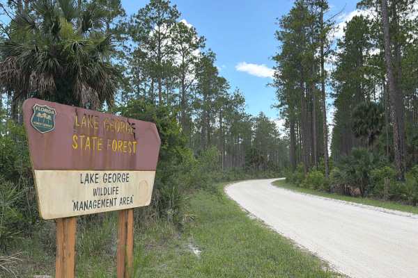
Riley Pridgeon
Riley Pridgeon takes you from north to south through the Astor Tract in the north part of Lake George State Forest and connects State Road 40 and Shell Harbor. The road gives you access to several trails in the area. It's a well-maintained road that's always wide enough for two vehicles to pass. Off...
Learn more about Riley Pridgeon
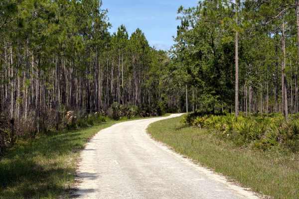
Bluffton Road
Bluffton Road takes you from west to east through the Dexter/Mary Farms Tract in the southern part of Lake George State Forest and starts at Bluffton Road. This trail takes you to Jenkins Pond and several trails in the area. Jenkins Pond offers fishing, a picnic area, and restrooms. The road conditi...
Learn more about Bluffton Road
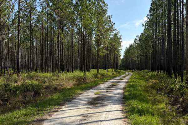
Dove Field Road
Dove Field Road takes you from north to south through the Dexter/Mary Farms Tract in the southern part of Lake George State Forest and starts at Bluffton Road. The road conditions are a mixture of packed sand, loose sand, and some deep holes that can turn into 2-foot deep mud holes after rainy days....
Learn more about Dove Field Road
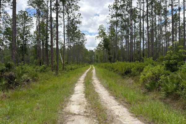
Sandy Drain Road
Sandy Drain Road takes you from west to east through the Astor Tract in the northern part of Lake George State Forest and connects Riley Pridgeon and Crooked Road. The road gives you access to a few trails in the area. The road conditions are a mixture of packed sand, loose sand, and some deep holes...
Learn more about Sandy Drain Road
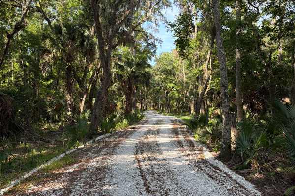
Dexter Point Road
Dexter Point Road takes you from north to south through the Dexter/Mary Farms Tract in the southern part of Lake George State Forest and starts at Bluffton Road. This trail takes you to a hiking trail to Lake Dexter. The road conditions are a mixture of packed sand, loose sand, and some deep holes t...
Learn more about Dexter Point Road
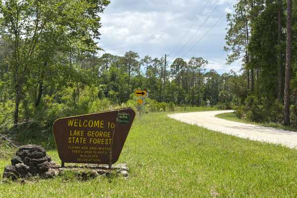
Petersen Road
Petersen Road takes you from west to east through the Astor Tract in the northern part of Lake George State Forest and connects Riley Pridgeon, Big Pond Road, and Crooked Road. The road gives you access to a few trails in the area. The road conditions are a mixture of packed sand, loose sand, and so...
Learn more about Petersen Road
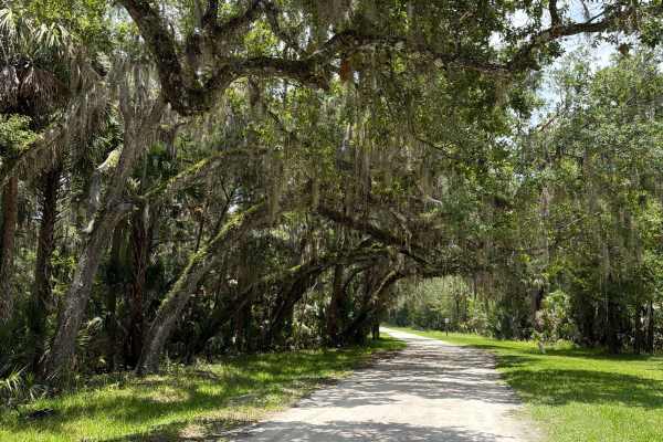
Volusia Bar Road
Volusia Bar Road takes you from west to east through the Astor Tract in the northern part of Lake George State Forest. The road starts at Riley Pridgeon and gives you access to a marina and a boat ramp on Payne Creek / St. Johns River. The road is well-maintained and always wide enough for two vehic...
Learn more about Volusia Bar Road
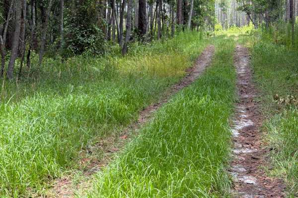
Big Pond Road
Big Pond Road takes you from north to south through the Astor Tract in the north part of Lake George State Forest and connects Pridgeon and Petersen Road. The road conditions are a mixture of packed sand, loose sand, and some deep holes that can turn into 2-foot deep mud holes after rainy days. Some...
Learn more about Big Pond Road
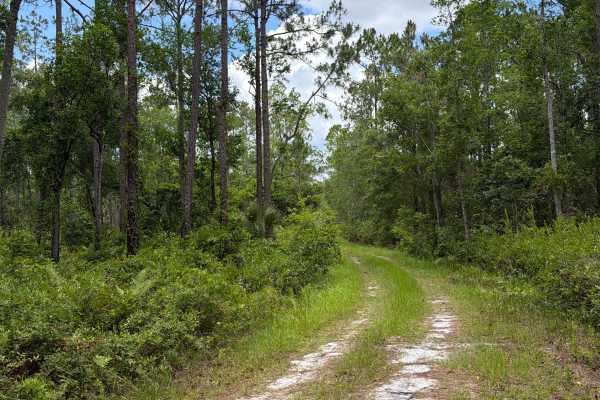
Crooked Road
Crooked Road takes you from north to south through the Astor Tract in the north part of Lake George State Forest and connects Petersen Road and Sandy Drain Road. The road conditions are a mixture of packed sand, loose sand, and some deep holes that can turn into 2-foot deep mud holes after rainy day...
Learn more about Crooked Road
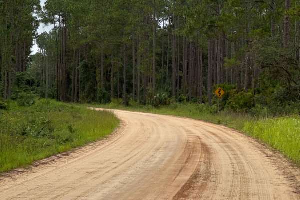
Blue Creek Lodge Road
The Blue Creek Lodge Road takes you from US Highway 40 to the Lake George Boat Ramp in the eastern part of the Ocala National Forest. The road conditions are a mixture of packed sand, loose sand, and some deep holes that can turn into 2-foot deep mud holes after rainy days. The road is always wide e...
Learn more about Blue Creek Lodge Road
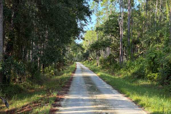
Check Station Road
Check Station Road takes you from north to south through the Dexter/Mary Farms Tract in the southern part of Lake George State Forest and connects State Road 40 and Bluffton Road. This trail is the only entrance to the area. It's a well-maintained road that's always wide enough for two vehicles to p...
Learn more about Check Station Road
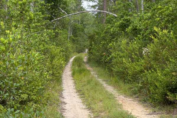
Jumper Creek - FS 34
The Jumper Creek Trail, also known as Ocala National Forest Road 34, connects US Highway 19 at the west end and Blue Creek Lodge Road at the east end of the trail in the north part of the Ocala National Forest. The trail gives you access to several OHV trails. The road conditions are a mixture of pa...
Learn more about Jumper Creek - FS 34
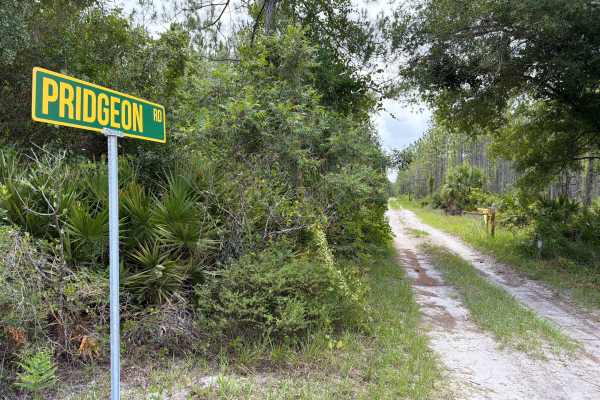
Pridgeon Road
Pridgeon Road takes you from west to east through the Astor Tract in the northern part of Lake George State Forest and connects Riley Pridgeon and Big Pond Road. The road gives you access to several trails in the area. The road conditions are a mixture of packed sand, loose sand, and some deep holes...
Learn more about Pridgeon Road
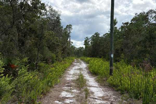
Ocala National Forest 445 Powerline Trail
The Ocala National Forest 445 Powerline Trail is a dead end road that takes you along the Power Lines. It gives you access to North Grasshopper Lake and several off-highway vehicle and off-road trails in the north part of the Ocala National Forest. The road conditions are a mixture of packed sand, l...
Learn more about Ocala National Forest 445 Powerline Trail
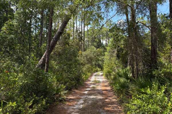
North Grasshopper Lake Trail
The North Grasshopper Trail is a dead-end road that takes you to the North Grasshopper Lake in the northern part of the Ocala National Forest. The trail gives you access to several off-highway vehicles and off-road trails. The road conditions are a mixture of packed sand, loose sand, and some deep h...
Learn more about North Grasshopper Lake Trail
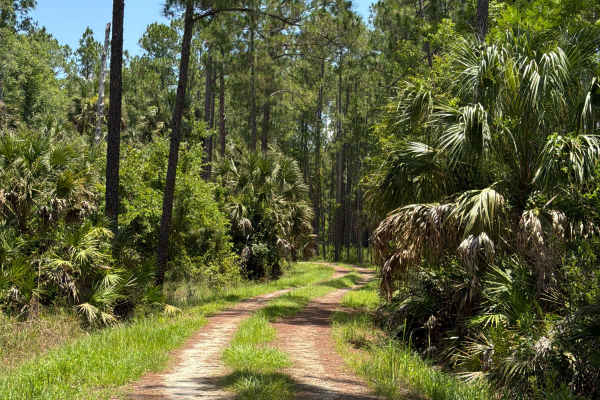
Mary Farms Road
Mary Farms Road takes you from north to south through the Dexter/Mary Farms Tract in the southern part of Lake George State Forest and starts at Bluffton Road. The road conditions are a mixture of packed sand, loose sand, and some deep holes that can turn into 2-foot deep mud holes after rainy days....
Learn more about Mary Farms Road
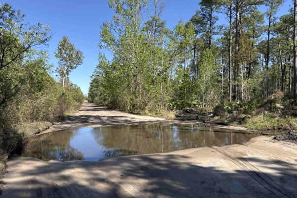
Spring Creek Landing - ONF 18
Spring Creek Landing, also known as Ocala National Forest Road 18, takes you from CR 445 at the north end to the undeveloped Alexander Springs Creek boat ramp at the south end of the trail in the southeast part of the Ocala National Forest. The trail gives you access to the primitive Bluff Landing C...
Learn more about Spring Creek Landing - ONF 18
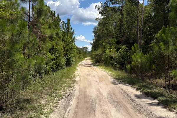
Astor - FS 73
Astor, also known as Ocala National Forest Road 73, takes you from CR 73 at the north end to Spring Creek Landing at the south end of the trail in the southeast part of the Ocala National Forest. The trail gives you access to several trails in the area. The road conditions are a mixture of packed sa...
Learn more about Astor - FS 73
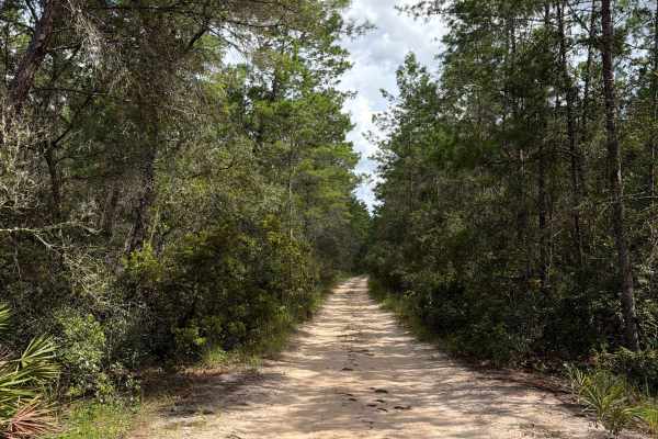
Ocala National Forest 40-22.7
Ocala National Forest Road 40-22.7 connects CR-40 at the south end and Jumper Creek at the north end of the trail in the north part of the Ocala National Forest. The trail gives you access to several off-highway vehicle trails. The road conditions are a mixture of packed sand, loose sand, and some d...
Learn more about Ocala National Forest 40-22.7
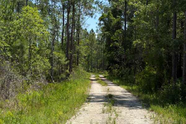
Fawn Road
Fawn Road takes you from west to east through the Dexter/Mary Farms Tract in the southern part of Lake George State Forest and starts at Quarters Road. This trail takes you to the staging area at the Fawn Road Entrance. This entrance is only open for hikers, bikers, and horseback riders. The road co...
Learn more about Fawn Road
ATV trails near Astor, Florida
Explore ATV-friendly trails near you. These trails are accessible for vehicles up to 50 inches wide, perfect for ATVs and smaller off-road machines.
Riley Pridgeon
Riley Pridgeon takes you from north to south through the Astor Tract in the north part of Lake George State Forest and connects State Road 40 and Shell Harbor. The road gives you access to several trails in the area. It's a well-maintained road that's always wide enough for two vehicles to pass. Off...
Learn more about Riley Pridgeon
Bluffton Road
Bluffton Road takes you from west to east through the Dexter/Mary Farms Tract in the southern part of Lake George State Forest and starts at Bluffton Road. This trail takes you to Jenkins Pond and several trails in the area. Jenkins Pond offers fishing, a picnic area, and restrooms. The road conditi...
Learn more about Bluffton Road
Dove Field Road
Dove Field Road takes you from north to south through the Dexter/Mary Farms Tract in the southern part of Lake George State Forest and starts at Bluffton Road. The road conditions are a mixture of packed sand, loose sand, and some deep holes that can turn into 2-foot deep mud holes after rainy days....
Learn more about Dove Field Road
Sandy Drain Road
Sandy Drain Road takes you from west to east through the Astor Tract in the northern part of Lake George State Forest and connects Riley Pridgeon and Crooked Road. The road gives you access to a few trails in the area. The road conditions are a mixture of packed sand, loose sand, and some deep holes...
Learn more about Sandy Drain Road
UTV/side-by-side trails near Astor, Florida
Find UTV and side-by-side trails near you. These trails accommodate vehicles up to 60 inches wide, ideal for UTVs, side-by-sides, and wider off-road rigs.
Riley Pridgeon
Riley Pridgeon takes you from north to south through the Astor Tract in the north part of Lake George State Forest and connects State Road 40 and Shell Harbor. The road gives you access to several trails in the area. It's a well-maintained road that's always wide enough for two vehicles to pass. Off...
Learn more about Riley Pridgeon
Bluffton Road
Bluffton Road takes you from west to east through the Dexter/Mary Farms Tract in the southern part of Lake George State Forest and starts at Bluffton Road. This trail takes you to Jenkins Pond and several trails in the area. Jenkins Pond offers fishing, a picnic area, and restrooms. The road conditi...
Learn more about Bluffton Road
Dove Field Road
Dove Field Road takes you from north to south through the Dexter/Mary Farms Tract in the southern part of Lake George State Forest and starts at Bluffton Road. The road conditions are a mixture of packed sand, loose sand, and some deep holes that can turn into 2-foot deep mud holes after rainy days....
Learn more about Dove Field Road
Sandy Drain Road
Sandy Drain Road takes you from west to east through the Astor Tract in the northern part of Lake George State Forest and connects Riley Pridgeon and Crooked Road. The road gives you access to a few trails in the area. The road conditions are a mixture of packed sand, loose sand, and some deep holes...
Learn more about Sandy Drain Road
The onX Offroad Difference
onX Offroad combines trail photos, descriptions, difficulty ratings, width restrictions, seasonality, and more in a user-friendly interface. Available on all devices, with offline access and full compatibility with CarPlay and Android Auto. Discover what you're missing today!
Open Trail Map