
Dirt Bike Trails
Near Alma, Michigan
Explore All Dirt Bike Trails Near Alma, Michigan
Dirt Bike Trails Near Alma, Michigan
Discover the best dirt bike trails near you. Browse trail maps, check difficulty ratings, and find your next adventure — whether you're looking for a quick ride or an all-day expedition.
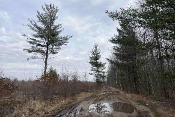
West Olson Trail
The trail starts at the intersection of West Olson Road and Geneva Road. There are large yellow turn signs on either side of the trail marking the normal roads. It is 1 to 2 vehicles wide with numerous mud holes, though most were not very deep, even in the spring, no more than a few inches. This cou...
Learn more about West Olson Trail
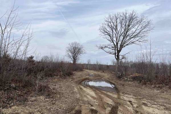
Lone Oak
This out-and-back trail starts off as a two-track through a logged area with a few lone oak trees still standing before getting sandier and heading into the woods. The first half of the trail is fairly dry, but near the end, there are several large water holes. Depending on the season and weather, t...
Learn more about Lone Oak
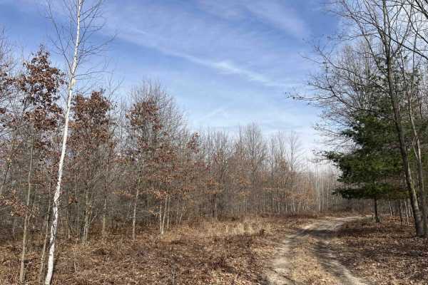
Sandy Puddles
This is an out-and-back sandy two-track trail through dense woods with several large water holes along the way. Some of the water holes are 12 to 18 inches deep, depending on the season, and have soft sandy bottoms that may be difficult to get good traction in. There is a large clearing in the woods...
Learn more about Sandy Puddles
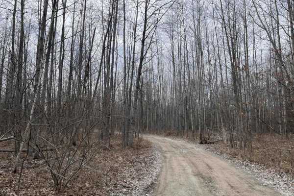
West Isabella Bypass
A scenic, easy-going trail through the woods in the Gladwin Forest area west of Midland. One of the few dry trails in the area, especially in the spring. The trail winds through woods and wetland. There has been some logging on the trail. The trail is mostly one vehicle wide, though there are severa...
Learn more about West Isabella Bypass
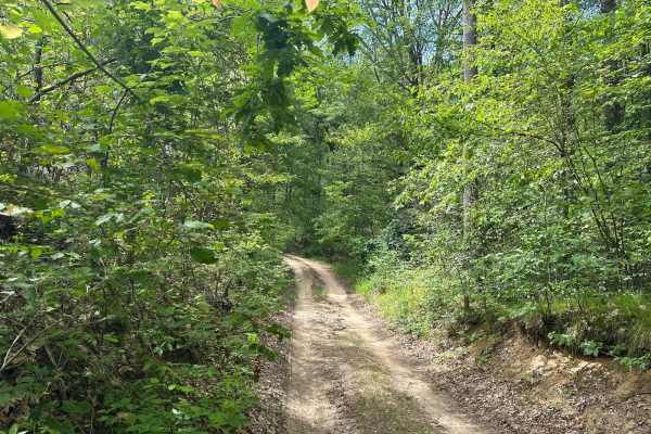
West Cannonsville Road
West Cannonsville Road is a very fun and fast sandy two-track the beginning of the trail is a long hill and is relatively sandy. After driving through the woods a little ways it will open up to more of a clear cut as the road continues. Eventually, you will run into a spot where you can turn around....
Learn more about West Cannonsville Road
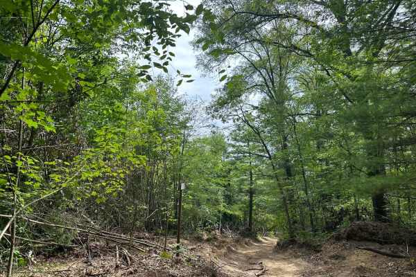
Langston Trail
Langston Trail is one of the most fun in the area. It's very windy with different dense forests and open clearcuts along the route. Plenty of turnouts to stop and have lunch or to let other vehicles by as this is a one-lane trail. The north end of the trail is accessible by Youngman Cutover of West ...
Learn more about Langston Trail
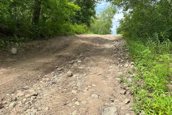
North Youngman Road
North Youngman Road begins directly off of Youngman Road this trail is tight and will leave some pinstripes on your rig. There are some rocky sections with mostly a sandy dirt base. Cell service isn't great so offline maps would be a good idea. This trail is tight with some fun winding turns and gre...
Learn more about North Youngman Road
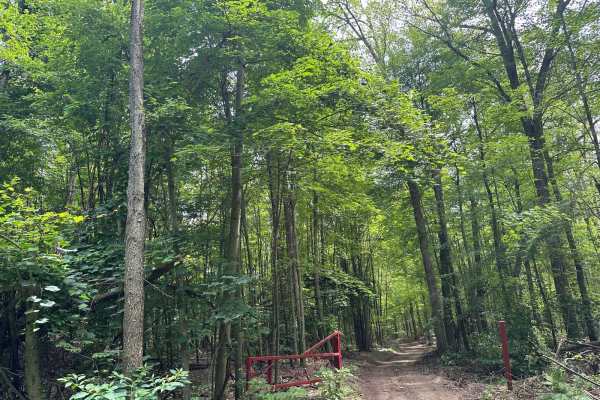
Youngman Cut Over
Youngman Cutover is a short route that connects North Youngman Road to West Cannonsville Road and Langston Trail. The cutover veers left just off of North Youngman Road and gives further amazing views of the forest. The trail terrain is dirt and it's an easy drive that offers access to some more rid...
Learn more about Youngman Cut Over
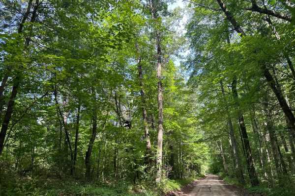
West Snow Lake Road
West Snow Lake Road is a fast two-lane dirt road that rips through the north end of the Flat River State Game Area. Along this route, you will see lots of different terrain ranging from thick dense forest to open clearcuts. You'll have a multitude of turnouts to access the game area. There are also ...
Learn more about West Snow Lake Road
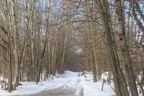
Canadian Lakes Trail 1
This is a nice little trail that is very easily accessible and good for beginning off-roaders. You enter the trail near the entrance to the local community and continue on a narrow path through the trees, watch out for other riders as the road is narrow and there are several steep hills you can't se...
Learn more about Canadian Lakes Trail 1
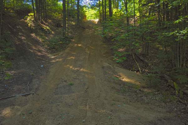
The Missing Bowls
This trail includes 2 large bowls that can be climbed into and out of from many different paths. My trail only shows 1 of the options, but almost all are accessible in one way or another. There are some tight areas in this trail system, however, they can be navigated or if trees are in the way (many...
Learn more about The Missing Bowls
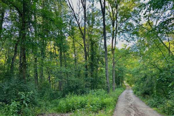
Montcalm Ave Northeast Trail
This an an out-and-back trail. The access is off Potters Rd. The beginning of the trail has public land on one side and private residences on the other so be courteous. Half a mile into the trail it turns from a gravel road into a two-track. Along the route, there are pull offs for the public land. ...
Learn more about Montcalm Ave Northeast Trail
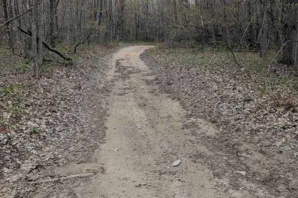
Loose Lane
This trail winds out and back through the Pine and hardwood forest in the Gladwin Forest Management Unit. It is a combination of a single lane dirt trail and a narrow dirt two-track. The trail gets quite narrow in spots, so be prepared for some possible scraping from the trees. You will also encount...
Learn more about Loose Lane
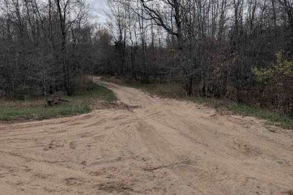
Mostetler Road Ride
A single lane and two-track trail that is sandy dirt in most areas. It is a narrow trail with overgrown vegetation that could scrape the sides of your vehicle. You will also encounter some low-hanging tree branches. The out-and-back portion dead ends into private property, but there are some camping...
Learn more about Mostetler Road Ride

NFS Road 9453
This trail is a single-lane dirt track through the beautiful Manistee National Forest on Service Road 9453. It is at the border of Macosta and Montcalm Counties and runs between Eisenhower Road and 220th Avenue. There are no major obstacles on this scenic route and there are plenty of areas to pass ...
Learn more about NFS Road 9453
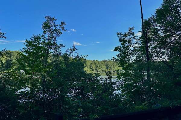
Montcalm Ave Northeast
Starting on the south end of Fulton St East, you will quickly encounter a well-maintained two-lane gravel road. You will also see a thick forest surrounding you. This trail cuts directly through state land. There are many pull-offs to park and enjoy the public land. Halfway through this trail, you w...
Learn more about Montcalm Ave Northeast
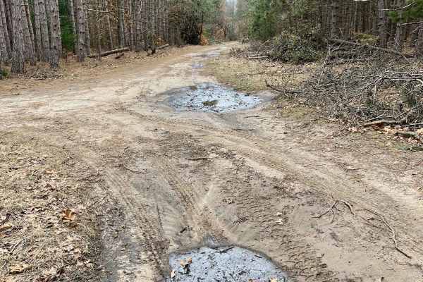
NFS 9882
This route is a Michigan two-track access trail which leads to a network of other trails. It splits into trails NFS 9884 and 9883. Although this is a simple and short access trail, the trees along this track can be vibrant with fall foliage and the glimmering snow in winter can take your breath away...
Learn more about NFS 9882

NFS Road 9883
This trail is Service Road 9883 in the scenic Manistee National Forest in Newaygo County. It is a single-lane dirt and sandy out-and-back trail off of NFS Road 9884 that ends at a non-motor vehicle area. The trail is a bit hilly and can be rutted in areas, but nothing that presents a major obstacle....
Learn more about NFS Road 9883
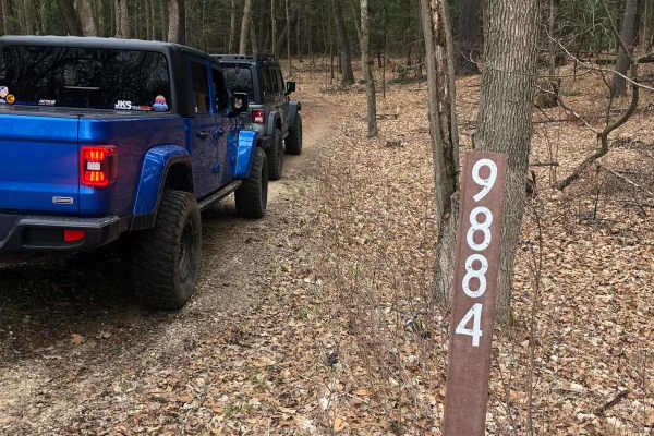
NFS Road 9884
This track is NFS Road 9884 in the beautiful Manistee National Forest in Newaygo County. It is a single-lane dirt trail that curves its way through the forest between East 56th and East 52nd Streets. Some spots are somewhat sandy as well as rutted-out during muddy times. There is one small mud/water...
Learn more about NFS Road 9884
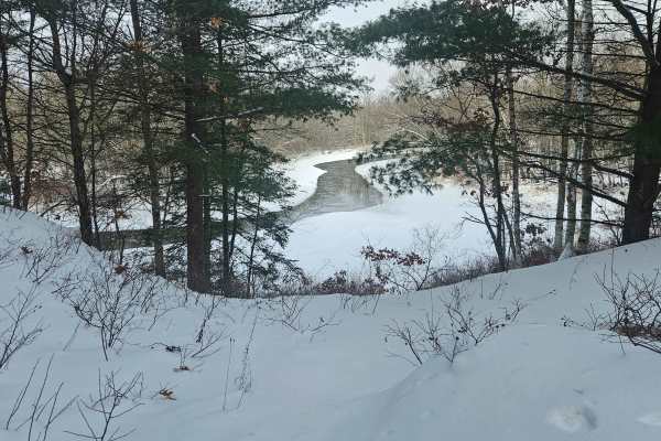
Thornapple Trail
This is a Seasonal Road that leads back to an area known as the High Banks. This used to be a State Forest Campground accessible to full-size campers. The State has since installed gates to keep traffic from the actual High Banks area itself. There are two separate River View turnouts that allow cam...
Learn more about Thornapple Trail
ATV trails near Alma, Michigan
Explore ATV-friendly trails near you. These trails are accessible for vehicles up to 50 inches wide, perfect for ATVs and smaller off-road machines.
West Olson Trail
The trail starts at the intersection of West Olson Road and Geneva Road. There are large yellow turn signs on either side of the trail marking the normal roads. It is 1 to 2 vehicles wide with numerous mud holes, though most were not very deep, even in the spring, no more than a few inches. This cou...
Learn more about West Olson Trail
Lone Oak
This out-and-back trail starts off as a two-track through a logged area with a few lone oak trees still standing before getting sandier and heading into the woods. The first half of the trail is fairly dry, but near the end, there are several large water holes. Depending on the season and weather, t...
Learn more about Lone Oak
Sandy Puddles
This is an out-and-back sandy two-track trail through dense woods with several large water holes along the way. Some of the water holes are 12 to 18 inches deep, depending on the season, and have soft sandy bottoms that may be difficult to get good traction in. There is a large clearing in the woods...
Learn more about Sandy Puddles
West Isabella Bypass
A scenic, easy-going trail through the woods in the Gladwin Forest area west of Midland. One of the few dry trails in the area, especially in the spring. The trail winds through woods and wetland. There has been some logging on the trail. The trail is mostly one vehicle wide, though there are severa...
Learn more about West Isabella Bypass
UTV/side-by-side trails near Alma, Michigan
Find UTV and side-by-side trails near you. These trails accommodate vehicles up to 60 inches wide, ideal for UTVs, side-by-sides, and wider off-road rigs.
West Olson Trail
The trail starts at the intersection of West Olson Road and Geneva Road. There are large yellow turn signs on either side of the trail marking the normal roads. It is 1 to 2 vehicles wide with numerous mud holes, though most were not very deep, even in the spring, no more than a few inches. This cou...
Learn more about West Olson Trail
Lone Oak
This out-and-back trail starts off as a two-track through a logged area with a few lone oak trees still standing before getting sandier and heading into the woods. The first half of the trail is fairly dry, but near the end, there are several large water holes. Depending on the season and weather, t...
Learn more about Lone Oak
Sandy Puddles
This is an out-and-back sandy two-track trail through dense woods with several large water holes along the way. Some of the water holes are 12 to 18 inches deep, depending on the season, and have soft sandy bottoms that may be difficult to get good traction in. There is a large clearing in the woods...
Learn more about Sandy Puddles
West Isabella Bypass
A scenic, easy-going trail through the woods in the Gladwin Forest area west of Midland. One of the few dry trails in the area, especially in the spring. The trail winds through woods and wetland. There has been some logging on the trail. The trail is mostly one vehicle wide, though there are severa...
Learn more about West Isabella Bypass
The onX Offroad Difference
onX Offroad combines trail photos, descriptions, difficulty ratings, width restrictions, seasonality, and more in a user-friendly interface. Available on all devices, with offline access and full compatibility with CarPlay and Android Auto. Discover what you're missing today!
Open Trail Map