
Beginner Off-Road Trails
Near Westmoreland, Kansas
Explore All Beginner Trails Near Westmoreland, Kansas
Beginner Off-Road Trails Near Westmoreland, Kansas
Discover the best beginner-friendly off-road trails near you. These easier, lower-rated trails are a great place to start — browse trail maps, check difficulty ratings, and find your next adventure.
River Run Spur
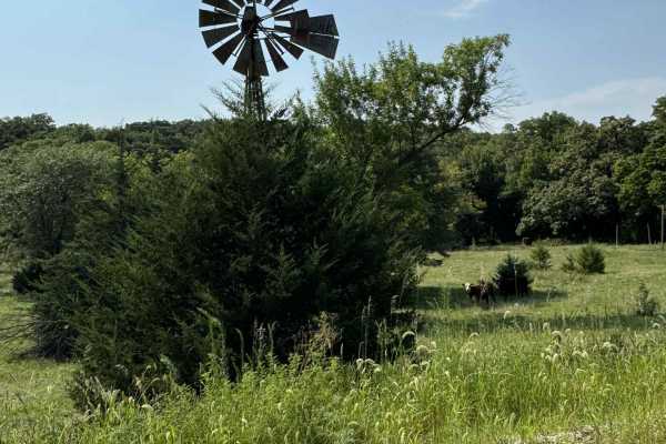
River Run Spur is mostly gravel roads that are less maintained and that follows along the edge of Tuttle Creek Lake, This trail will take you through the beautiful flint hills area where you see plenty of wildlife and have access points to Tuttle creek lake. Enjoy exploring the area and take time to...
Learn more about River Run Spur
Big Blue River Route
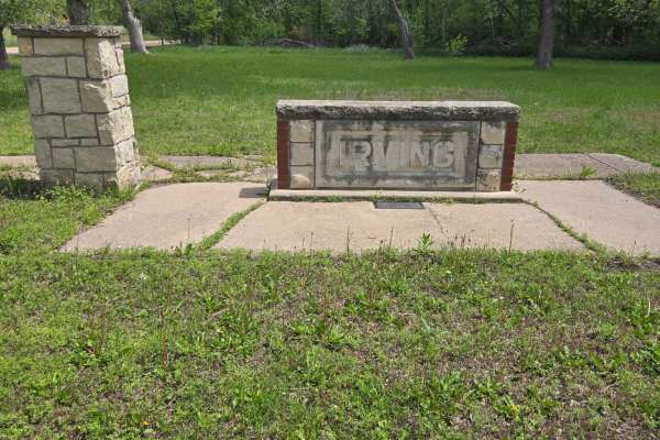
This trail follows along the historic Big Blue River to where it will meet with Tuttle Creek Lake. Along this route, you will find old ghost towns of Irving and Cleburne, a natural spring (which, yes, is safe to drink from), great views, and, of course, some wildlife. There are plenty of stopping po...
Learn more about Big Blue River Route
River Run
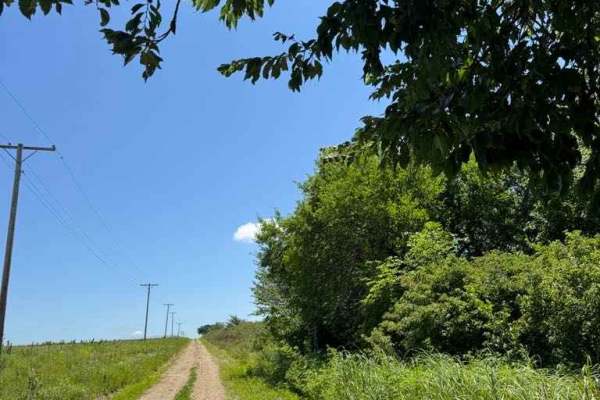
This trail follows the east bank of the Big Blue River along mostly gravel roads with easy access. It offers scenic views of the Flint Hills, abundant wildlife, and vibrant wildflowers. Several access points along the route provide opportunities to reach the river and Tuttle Creek Lake for hiking an...
Learn more about River Run
Clapboard Ravine
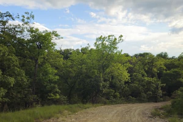
Approaching from the south, this trail ranks among the most scenic routes in Eastern Kansas. It follows mostly well-maintained gravel that can become thick in spots, presenting a challenge for cyclists or bikers. The sublime trail descends into a gorge and enters a forest of mature trees, then runs ...
Learn more about Clapboard Ravine
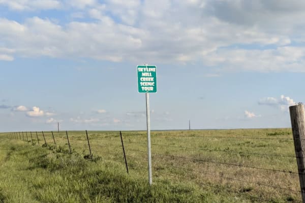
Skyline Road
The trail follows a well-maintained gravel road running along a ridgeline, providing expansive views of the surrounding hills. Scattered farming infrastructure and a few cattle are visible, but most of the route passes through an unbroken expanse of green landscape, especially vibrant in May. There ...
Learn more about Skyline Road
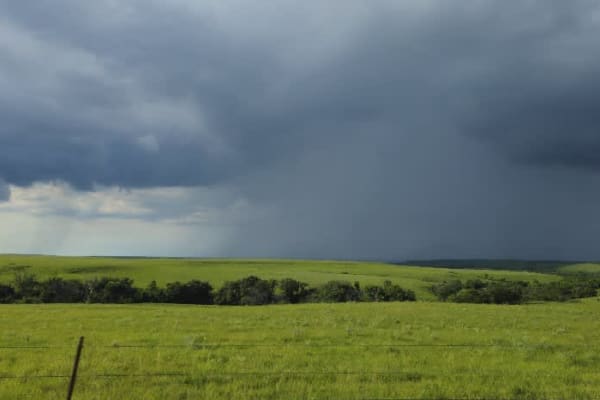
Prairie View
This trail follows a well-maintained gravel road that remains arrow-straight primarily, with a few gentle climbs and drops along its length. If you approach from the south, you'll encounter a steep descent demanding careful steering. As you progress, the vista reveals sweeping views of lush green fi...
Learn more about Prairie View
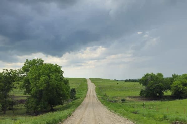
Kuenzli Creek
This trail follows a very well-maintained gravel road that remains mostly smooth as it winds through a hilly landscape. Drivers will navigate numerous ascents and descents, with occasional rocky or bumpy sections demanding attention. There are no formal or dispersed campsites along the route, and yo...
Learn more about Kuenzli Creek
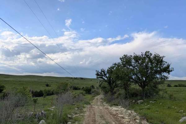
Christy Road
This section represents the trail's most technical challenges, though you can bypass it by remaining on the main artery route. Despite its short length, this narrow path sees little use and receives no maintenance. You'll face rocky, off-camber stretches, steep ascents and descents, and plenty of mu...
Learn more about Christy Road
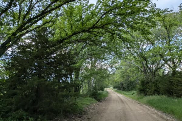
Neahring Ranch
This trail follows a narrow ribbon of smooth gravel that occasionally gives way to rocky patches, winding through a dense forest flanked by a sea of open fields. You'll likely spot deer browsing along the roadside as you drive, so stay alert. There are no formal or dispersed campsites, and you won't...
Learn more about Neahring Ranch
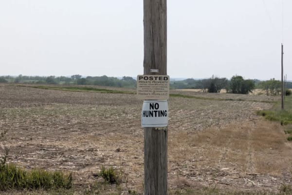
11th Road
The trail runs in a straight line with a few climbs and drops, and the surface is generally smooth aside from some bumps and corrugated patches. It winds through farmland, so travelers should stay alert for local traffic. There are no formal or dispersed campsites along this route, and basic ameniti...
Learn more about 11th Road
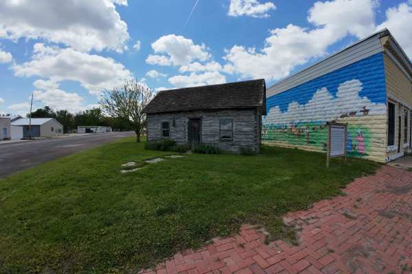
Alcove Springs Trail
This trail takes you along the Big Blue River and through a historic part of Kansas. Where you will see a Ferry crossing and Alcove Spring Park, a stopping Point along the Oregon Trail. At Alcove Spring, there is plenty of hiking and history from a natural spring water fall, to rock carvings and gra...
Learn more about Alcove Springs Trail
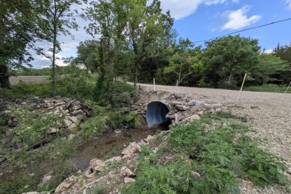
Halifax Road
This trail is fairly narrow, with smooth, well-maintained sections giving way to rocky, muddy stretches. It winds through rolling hills, rising and falling over gentle ascents and descents before crossing a small stream. Alongside the path stands a modest graveyard, its peaceful setting quietly memo...
Learn more about Halifax Road
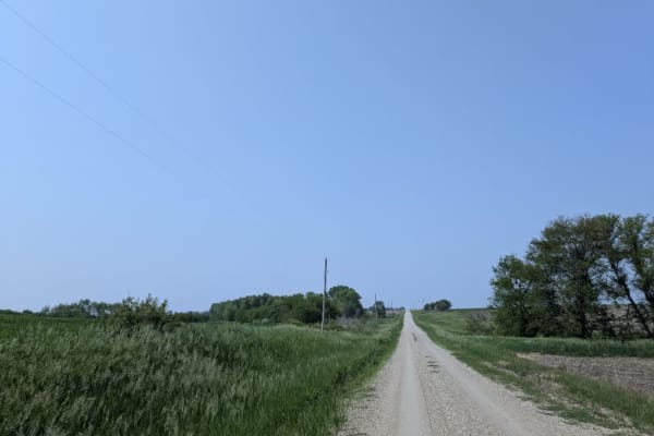
20th Road
The trail runs mostly straight, intersecting with other grid-pattern tracks and passing by an idyllic farmhouse. It begins with a slightly rough surface and no trees, but gradually smooths out as you continue, and ends in a small forest. Eventually, the path leads to the trail that marks the Nebrask...
Learn more about 20th Road
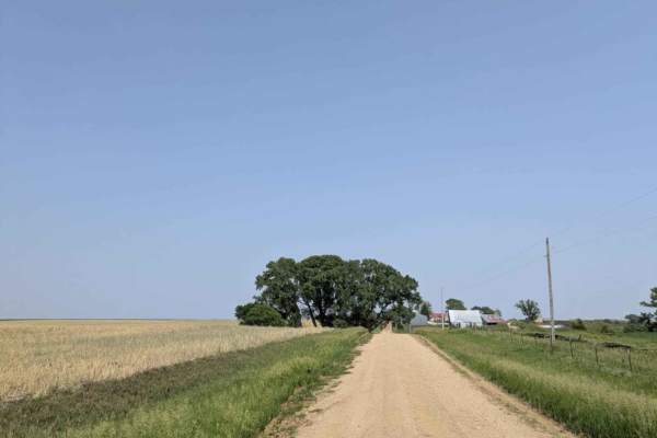
Granite Road
The trail can be divided into three distinct sections. At the start, it follows a well-maintained, creamy-colored path that remains mostly straight and skirts past several farmhouses. Beyond that, travelers enter a dirt track between fields that receives little upkeep and becomes especially rough wh...
Learn more about Granite Road
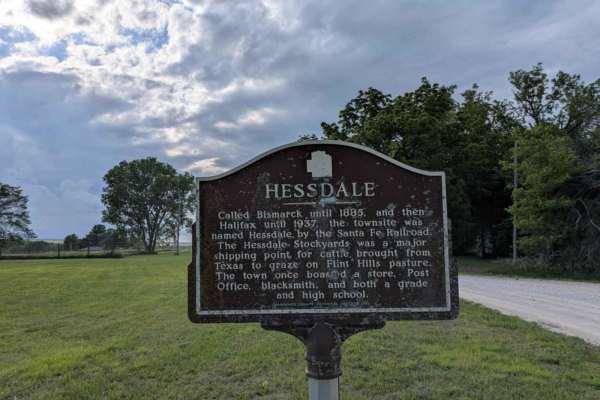
Hessdale Road
This trail is as sublime as the trail before it and unfolds over well-maintained gravel, showing few potholes or bumps as it winds through green rolling hills with gentle ascents and descents. Scattered farms and shallow creek crossings add a quiet, rural rhythm to the drive. There are no formal or ...
Learn more about Hessdale Road
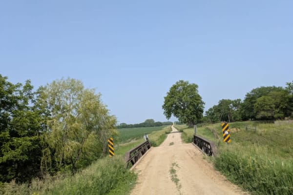
Stateline Road
The trail follows a narrow, dusty gravel surface that remains mostly straight while incorporating a few climbs and descents. Along the way, travelers cross two bridges, one rated for three tons and another for ten tons. Serving as the border road between Nebraska and Kansas, the route winds through ...
Learn more about Stateline Road
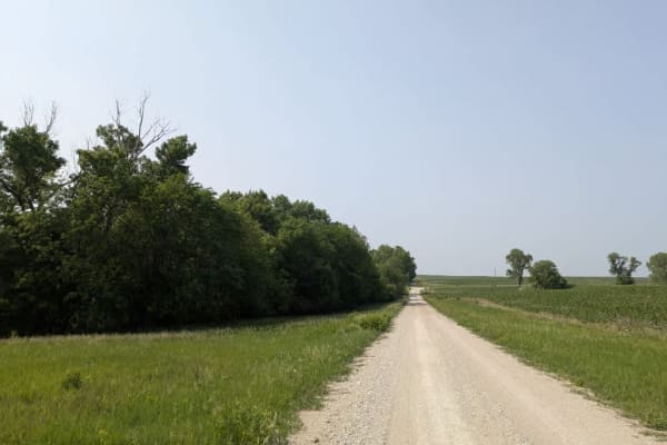
616 Avenue
The trail is a smooth, narrow gravel path with few corrugations or bumps, winding through farmland with minimal local traffic. The route features gentle ascents and descents as it crosses rolling hills. There are no formal or dispersed campsites along this section, and amenities such as trash dispos...
Learn more about 616 Avenue
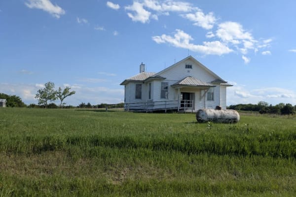
Chalk Road
This trail is sublime, unfolding over well-maintained gravel that shows few potholes or bumps as it winds through green rolling hills with gentle ascents and descents. Scattered farms dot the landscape, and the route crosses several creeks beneath a canopy of trees. There are no designated or disper...
Learn more about Chalk Road
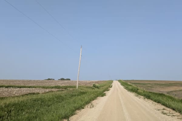
707 Trail
The trail remains mostly smooth, with only a few corrugated patches near the main intersection. This well-maintained gravel road undulates over rolling hills, presenting gentle climbs and descents that open into wide vistas. Travelers should keep an eye out for local vehicles along the route. There ...
Learn more about 707 Trail
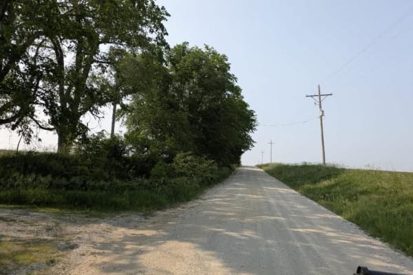
620 Avenue
The trail stays mostly smooth as it winds through rolling hills and crosses a charming bridge near its center. Composed of well-maintained gravel, the route features gentle ascents and descents with open views of the surrounding countryside. Because this road serves as a school drop-off route, trave...
Learn more about 620 Avenue
Beginner ATV trails near Westmoreland, Kansas
Explore ATV-friendly trails near you. These trails are accessible for vehicles up to 50 inches wide, perfect for ATVs and smaller off-road machines.
River Run Spur
River Run Spur is mostly gravel roads that are less maintained and that follows along the edge of Tuttle Creek Lake, This trail will take you through the beautiful flint hills area where you see plenty of wildlife and have access points to Tuttle creek lake. Enjoy exploring the area and take time to...
Learn more about River Run Spur
Big Blue River Route
This trail follows along the historic Big Blue River to where it will meet with Tuttle Creek Lake. Along this route, you will find old ghost towns of Irving and Cleburne, a natural spring (which, yes, is safe to drink from), great views, and, of course, some wildlife. There are plenty of stopping po...
Learn more about Big Blue River Route
River Run
This trail follows the east bank of the Big Blue River along mostly gravel roads with easy access. It offers scenic views of the Flint Hills, abundant wildlife, and vibrant wildflowers. Several access points along the route provide opportunities to reach the river and Tuttle Creek Lake for hiking an...
Learn more about River Run
Scenic River Road
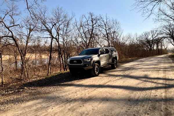
The Scenic River Road, County Road N. 2000 Road to N. 2050 Road, travels along the Kansas River Northwest of Lawrence, Kansas, heading west toward historic Lecompton, Kansas, the first state capital. The trail is hard-packed dirt and gravel suitable for any vehicle except in winter conditions with h...
Learn more about Scenic River Road
Beginner UTV/side-by-side trails near Westmoreland, Kansas
Find UTV and side-by-side trails near you. These trails accommodate vehicles up to 60 inches wide, ideal for UTVs, side-by-sides, and wider off-road rigs.
River Run Spur
River Run Spur is mostly gravel roads that are less maintained and that follows along the edge of Tuttle Creek Lake, This trail will take you through the beautiful flint hills area where you see plenty of wildlife and have access points to Tuttle creek lake. Enjoy exploring the area and take time to...
Learn more about River Run Spur
Big Blue River Route
This trail follows along the historic Big Blue River to where it will meet with Tuttle Creek Lake. Along this route, you will find old ghost towns of Irving and Cleburne, a natural spring (which, yes, is safe to drink from), great views, and, of course, some wildlife. There are plenty of stopping po...
Learn more about Big Blue River Route
River Run
This trail follows the east bank of the Big Blue River along mostly gravel roads with easy access. It offers scenic views of the Flint Hills, abundant wildlife, and vibrant wildflowers. Several access points along the route provide opportunities to reach the river and Tuttle Creek Lake for hiking an...
Learn more about River Run
Scenic River Road
The Scenic River Road, County Road N. 2000 Road to N. 2050 Road, travels along the Kansas River Northwest of Lawrence, Kansas, heading west toward historic Lecompton, Kansas, the first state capital. The trail is hard-packed dirt and gravel suitable for any vehicle except in winter conditions with h...
Learn more about Scenic River Road
The onX Offroad Difference
onX Offroad combines trail photos, descriptions, difficulty ratings, width restrictions, seasonality, and more in a user-friendly interface. Available on all devices, with offline access and full compatibility with CarPlay and Android Auto. Discover what you're missing today!
Open Trail Map