
Beginner Off-Road Trails
Near West Point, Mississippi
Explore All Beginner Trails Near West Point, Mississippi
Beginner Off-Road Trails Near West Point, Mississippi
Discover the best beginner-friendly off-road trails near you. These easier, lower-rated trails are a great place to start — browse trail maps, check difficulty ratings, and find your next adventure.
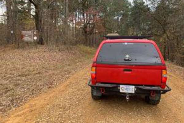
Witch Dance Hill
This trail is an old gravel road. Nothing technical, but offers peaceful scenery. There isn't a lot of traffic, so you can take your time. This road runs through the Tombigbee National Forest.
Learn more about Witch Dance Hill

Black Cat Bottom
This trail is not very technical. There are a few water crossings to play in, with one having a small waterfall. Other water crossings may appear further down the trail depending on rain. The trail is mainly gravel or dirt, with possible mud in some areas, depending on rain.
Learn more about Black Cat Bottom
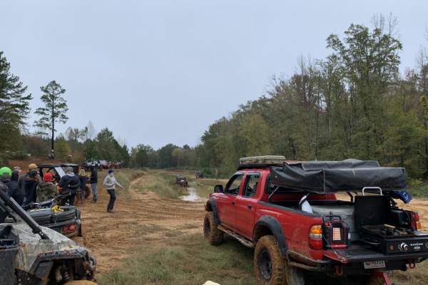
The Gutter
This trail is within a public mud park open only on specific weekends. Barnyard Mud Boggers or BMB offer more than 700 acres of land to ride. The Gutter trail isn't technical unless rain has made it slick. There are many other trails in this area.
Learn more about The Gutter
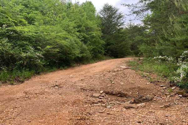
Turkey Creek Road
A picturesque drive through prime Alabama forest. Turkey Creek Road offers a great opportunity for wildlife viewing, photography, and getting away to the wilderness. Turkey Creek Road is a public dirt/gravel road that is mostly unmaintained, expect to encounter ruts, washouts and shallow mud. There ...
Learn more about Turkey Creek Road
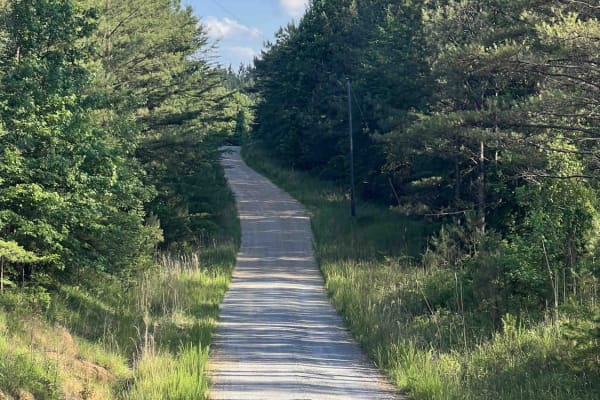
Meadow Creek Road
Meadow Creek Road or Winston County 357 is a maintained public gravel road running North from Highway 278 through Pine Timber Forestlands to Yankee Trace Road just before Highway 13. Meadow Creek Road offers an easy drive with ample opportunity for wildlife viewing as well as great views of the surr...
Learn more about Meadow Creek Road
Beginner ATV trails near West Point, Mississippi
Explore ATV-friendly trails near you. These trails are accessible for vehicles up to 50 inches wide, perfect for ATVs and smaller off-road machines.
Witch Dance Hill
This trail is an old gravel road. Nothing technical, but offers peaceful scenery. There isn't a lot of traffic, so you can take your time. This road runs through the Tombigbee National Forest.
Learn more about Witch Dance Hill
The Gutter
This trail is within a public mud park open only on specific weekends. Barnyard Mud Boggers or BMB offer more than 700 acres of land to ride. The Gutter trail isn't technical unless rain has made it slick. There are many other trails in this area.
Learn more about The Gutter
Meadow Creek Road
Meadow Creek Road or Winston County 357 is a maintained public gravel road running North from Highway 278 through Pine Timber Forestlands to Yankee Trace Road just before Highway 13. Meadow Creek Road offers an easy drive with ample opportunity for wildlife viewing as well as great views of the surr...
Learn more about Meadow Creek Road
Beginner UTV/side-by-side trails near West Point, Mississippi
Find UTV and side-by-side trails near you. These trails accommodate vehicles up to 60 inches wide, ideal for UTVs, side-by-sides, and wider off-road rigs.
Meadow Creek Road
Meadow Creek Road or Winston County 357 is a maintained public gravel road running North from Highway 278 through Pine Timber Forestlands to Yankee Trace Road just before Highway 13. Meadow Creek Road offers an easy drive with ample opportunity for wildlife viewing as well as great views of the surr...
Learn more about Meadow Creek Road
The onX Offroad Difference
onX Offroad combines trail photos, descriptions, difficulty ratings, width restrictions, seasonality, and more in a user-friendly interface. Available on all devices, with offline access and full compatibility with CarPlay and Android Auto. Discover what you're missing today!
Open Trail Map