
Beginner Off-Road Trails
Near Trout, Louisiana
Explore All Beginner Trails Near Trout, Louisiana
Beginner Off-Road Trails Near Trout, Louisiana
Discover the best beginner-friendly off-road trails near you. These easier, lower-rated trails are a great place to start — browse trail maps, check difficulty ratings, and find your next adventure.
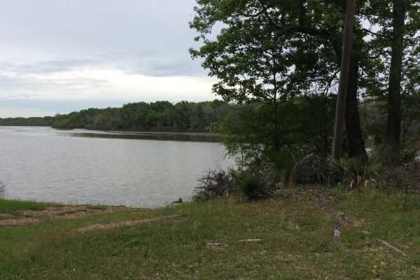
Dewey Wills Wildlife Management Area (WMA) Cross Trail
The Dewey Wills (WMA) Trail cross-cuts a large conservation area, approximately 64,000 acres, in central Louisiana that provides for a variety of activities such as camping, hunting, trapping, fishing, and boating. This area has a variety of maintained gravel and dirt roads along with less maintaine...
Learn more about Dewey Wills Wildlife Management Area (WMA) Cross Trail
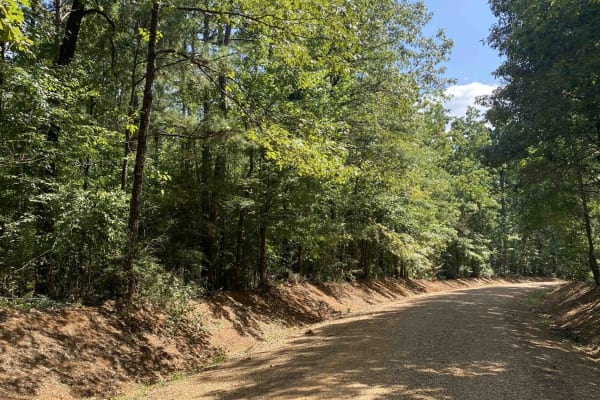
Beulah Church Road
This route starts on Beulah Church Road and turns onto Little Mail Road. This trail starts right outside of Kisatchie Nation Forest and brings you into it. The dirt roads can be very slick when wet. This trail has beautiful views and once you get into Kisatchie Nation Forest, there are several side ...
Learn more about Beulah Church Road
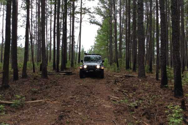
Kistatchie National Forest - Barron and Williams Road
This trail runs north to south in the southeastern part of the Catahoula District of the Kistatchie National Forest. The trail has a variety of spurs that can be explored and you can choose to camp in several established primitive camp sites or participate in dispersed camping along different parts ...
Learn more about Kistatchie National Forest - Barron and Williams Road
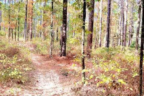
Hickman Trail
This is a great, fast, and fun trail that winds through the Kisatchie Forest. Trails are marked with a red diamond and guide you very well without worrying about getting lost. There are a lot of undulations and hills in central Louisiana. The trail is approximately 50" wide and is a two-way trail, s...
Learn more about Hickman Trail
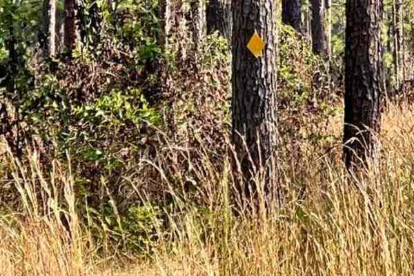
Livingston Trail
This is a smooth flowy trail that is overgrown at times but approximately 50" wide in spots. The trail is marked with a yellow diamond to help guide you along the way. There are beautiful tall pines, a very nice area in the heart of Kisatchiie forest. The best time to complete is in the fall/winter ...
Learn more about Livingston Trail
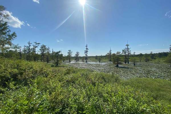
Iatt Lake Trail
This route starts on Forest Service Rd 558 off of LA-167 and eventually puts you out at a lookout boardwalk on Latt Lake. This trail is in Kisatchie Nation Forest and there are several side spurs to explore. The dirt and gravel roads can be very slick when wet. This trail has beautiful views however...
Learn more about Iatt Lake Trail
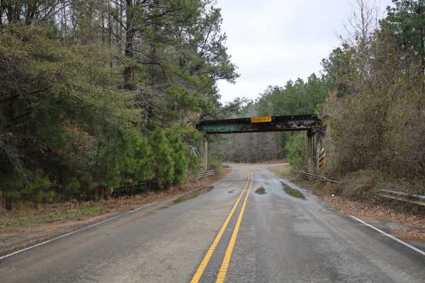
Zion Buker
Zion Road (520) and Buker Road (555) make up this trail in the Kisatchie National Forest. This trail ends at paved Highway 500. At the north end of this trail, you will see a cool railroad bridge. This bridge is where you turn to start the trail. These maintained gravel forest roads are easy to trav...
Learn more about Zion Buker
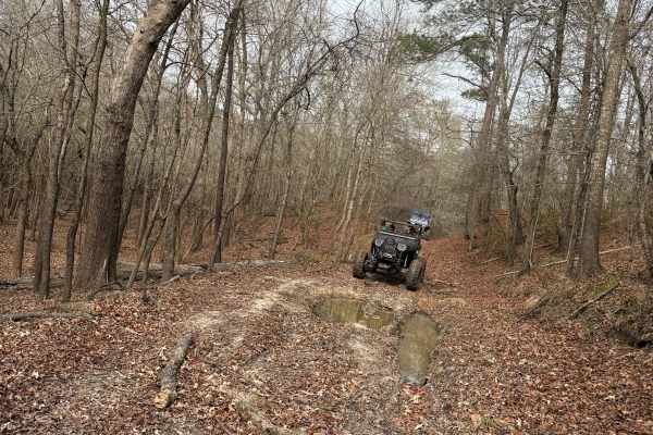
Bottom Road
This route starts off the main road through the park. There is a small sand dune at the beginning of the trail to the right. You enter into the woods from a small field. If it is wet, you will pass through several small mud holes and several larger mud holes along the way. When you get to the end, y...
Learn more about Bottom Road
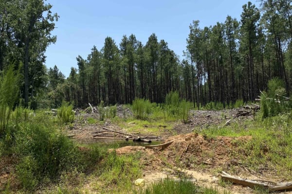
Jake Creel Road
This route starts on Jake Creel Road and ends at Aunt Marie's Road. This trail contains deep washouts and mud holes. The dirt roads are very slick when wet. This trail has beautiful views but has private property on both sides of the road so don't go off on any of the side trails. This trail is very...
Learn more about Jake Creel Road

Red River Levee Trail
This trail follows the top of the Red River Levee structure. The area on the north side of the trail follows the southern boundary of the Red River Wildlife Management Area (WMA) and the south side of the trail boarders along the Red River. There are numerous primitive camping sites and boat launche...
Learn more about Red River Levee Trail
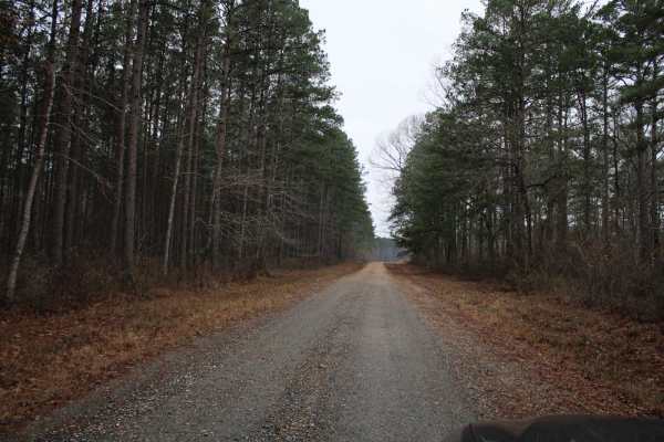
Dickerson Road (522)
Dickerson Road makes up this trail through the Kistachie National Forest. Starting off State Route 1228 and heading west this trail ends at Highway Parish Road 560. Several short side trails are available to explore. Nature and wildlife viewing can be enjoyed in these areas. This maintained gravel r...
Learn more about Dickerson Road (522)
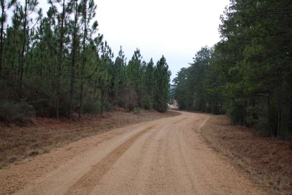
Plane Road (545)
Starting south of Highway 84 on Plane Road this maintained gravel road ends at 5801 Road. The open forest provides excellent nature and wildlife viewing. Explore dispersed camping and nature hikes. This 76,893.76 acre National Forest has a lot to offer to those who want to explore it. You may camp i...
Learn more about Plane Road (545)
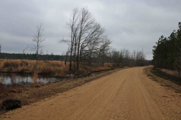
Black Mountain
Couley Creek (542) Road and Black Mountain (509) Road make up this trail. Enjoy easy-to-travel maintained gravel roads to see great forest views. Dispersed camping and nature viewing are in these areas of the Kisatchie National Forest. This trail ends at Harrisonburg Road which is a paved road. You ...
Learn more about Black Mountain
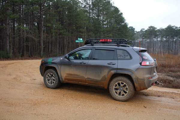
Collins Caney Telephone
These maintained gravel roads consist of Collins Fire break Rd, Caney Cr and Telephone Rd. This trail ends at Gum Springs Road. These roads wind through parts of the Kisatchie National Forest. This 76,893.76 acre forest offer many well maintained gravel roads to explore in Louisiana. Open forest ar...
Learn more about Collins Caney Telephone
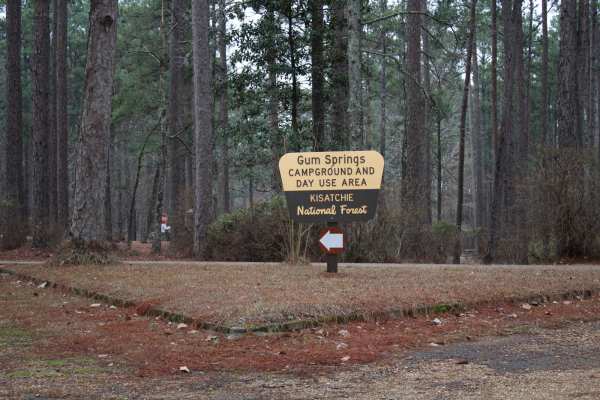
Gum Springs Campground
Gum Springs Campground and Lookout Tower are at the south end of this trail. This trail starts south of Highway 156. Consisting of Carpenter Road, Bright Road, and Range road these maintained gravel roads offer a fun ride. Enjoy nature and wildlife viewing as you travel this section of forest. Cross...
Learn more about Gum Springs Campground
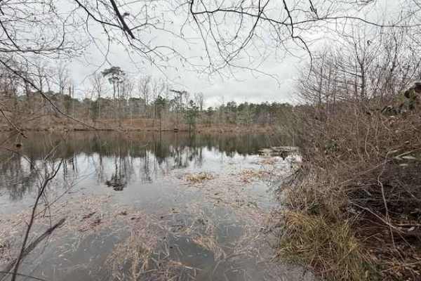
Woodward Branch
This trail provides a scenic, wooded drive through the Kisatchie National Forest and ends with access to the Kincaid Reservoir. Most of the trail is a well-maintained gravel road that is traversable with 2WD. The gravel road ends in a wide area that provides room for parking if you prefer to hike th...
Learn more about Woodward Branch
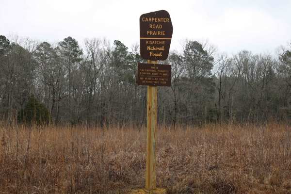
Gum Springs and Fowler
This trail includes Gum Springs Road and Fowler Road. These roads are maintained gravel roads with a nice gravel content. These roads can still be slippery when wet. This trail ends at State Road 156 in Coldwater. The open forest provides good viewing of wildlife and possible dispersed camping. Expl...
Learn more about Gum Springs and Fowler
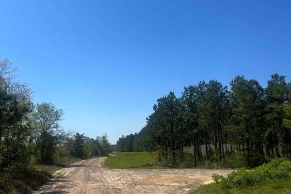
Ramsey Hill Road
This trail is very fun to cruise down, soak in the beautiful views, and spot wildlife. Both sides are flooded with pine trees and shrubbery. The area is also very wildlife-abundant, so be cautious when driving and be respectful of wildlife. This road has several turn-offs that are private property. ...
Learn more about Ramsey Hill Road
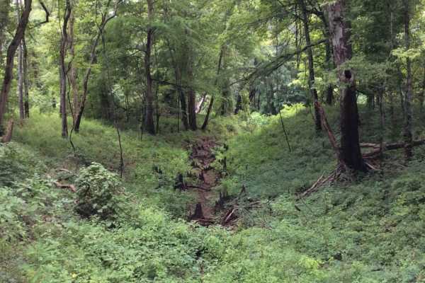
Grassy Lakes Wildlife Management Area (WMA) Central Trail
This trail runs through the central area of the Grassy Lakes Wildlife Management Area (WMA). The trail is more improved and connects public use areas such as camping areas, boat launches, and a few private camps. There are a variety of spurs and trails to take that allow you to explore the north or ...
Learn more about Grassy Lakes Wildlife Management Area (WMA) Central Trail
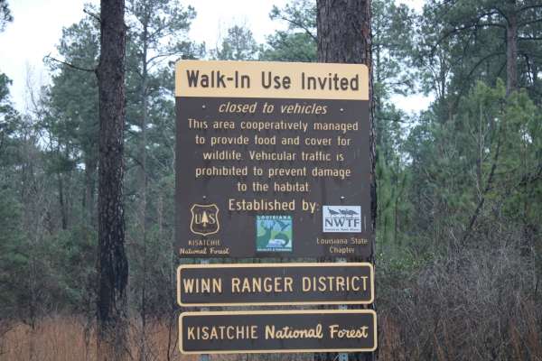
Gum Springs and Crooked Roads
This trail contains Gum Springs Road and Crooked Road. Both these roads are maintained gravel roads. The trail heads southeast to Highway 501. There are several spurs off of each side to explore, some are narrow tracks that require 4x4 and ground clearance. Open forest areas are present for great vi...
Learn more about Gum Springs and Crooked Roads
Beginner ATV trails near Trout, Louisiana
Explore ATV-friendly trails near you. These trails are accessible for vehicles up to 50 inches wide, perfect for ATVs and smaller off-road machines.
Hickman Trail
This is a great, fast, and fun trail that winds through the Kisatchie Forest. Trails are marked with a red diamond and guide you very well without worrying about getting lost. There are a lot of undulations and hills in central Louisiana. The trail is approximately 50" wide and is a two-way trail, s...
Learn more about Hickman Trail
Livingston Trail
This is a smooth flowy trail that is overgrown at times but approximately 50" wide in spots. The trail is marked with a yellow diamond to help guide you along the way. There are beautiful tall pines, a very nice area in the heart of Kisatchiie forest. The best time to complete is in the fall/winter ...
Learn more about Livingston Trail
Iatt Lake Trail
This route starts on Forest Service Rd 558 off of LA-167 and eventually puts you out at a lookout boardwalk on Latt Lake. This trail is in Kisatchie Nation Forest and there are several side spurs to explore. The dirt and gravel roads can be very slick when wet. This trail has beautiful views however...
Learn more about Iatt Lake Trail
Bottom Road
This route starts off the main road through the park. There is a small sand dune at the beginning of the trail to the right. You enter into the woods from a small field. If it is wet, you will pass through several small mud holes and several larger mud holes along the way. When you get to the end, y...
Learn more about Bottom Road
Beginner UTV/side-by-side trails near Trout, Louisiana
Find UTV and side-by-side trails near you. These trails accommodate vehicles up to 60 inches wide, ideal for UTVs, side-by-sides, and wider off-road rigs.
Beulah Church Road
This route starts on Beulah Church Road and turns onto Little Mail Road. This trail starts right outside of Kisatchie Nation Forest and brings you into it. The dirt roads can be very slick when wet. This trail has beautiful views and once you get into Kisatchie Nation Forest, there are several side ...
Learn more about Beulah Church Road
Iatt Lake Trail
This route starts on Forest Service Rd 558 off of LA-167 and eventually puts you out at a lookout boardwalk on Latt Lake. This trail is in Kisatchie Nation Forest and there are several side spurs to explore. The dirt and gravel roads can be very slick when wet. This trail has beautiful views however...
Learn more about Iatt Lake Trail
Bottom Road
This route starts off the main road through the park. There is a small sand dune at the beginning of the trail to the right. You enter into the woods from a small field. If it is wet, you will pass through several small mud holes and several larger mud holes along the way. When you get to the end, y...
Learn more about Bottom Road
Jake Creel Road
This route starts on Jake Creel Road and ends at Aunt Marie's Road. This trail contains deep washouts and mud holes. The dirt roads are very slick when wet. This trail has beautiful views but has private property on both sides of the road so don't go off on any of the side trails. This trail is very...
Learn more about Jake Creel Road
The onX Offroad Difference
onX Offroad combines trail photos, descriptions, difficulty ratings, width restrictions, seasonality, and more in a user-friendly interface. Available on all devices, with offline access and full compatibility with CarPlay and Android Auto. Discover what you're missing today!
Open Trail Map