
Beginner Off-Road Trails
Near Summerville, South Carolina
Explore All Beginner Trails Near Summerville, South Carolina
Beginner Off-Road Trails Near Summerville, South Carolina
Discover the best beginner-friendly off-road trails near you. These easier, lower-rated trails are a great place to start — browse trail maps, check difficulty ratings, and find your next adventure.
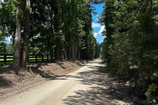
County Line Road
County Line Road is a scenic off-road route that traces the boundary between Charleston and Dorchester counties. This backcountry road features a mix of sand, red clay, and gravel surfaces, offering varied terrain that changes with the weather. When dry, sections can become extremely dusty. After he...
Learn more about County Line Road
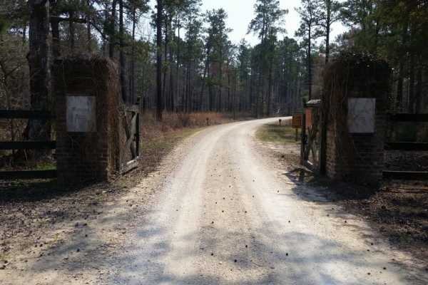
Swamp Fox 1
Most of this trail runs through the Francis Marion National Forest. Your vehicle must have a license plate. There are a few short pavement sections, otherwise it's mainly hard two-track fire roads with sections that will get muddy after rain and dusty when it hasn't rained for a while. There are sma...
Learn more about Swamp Fox 1
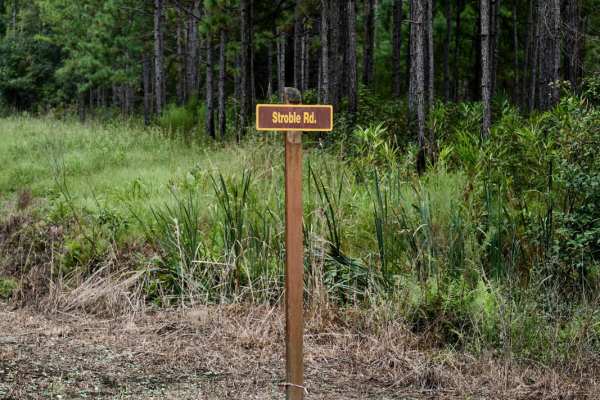
Bonneau Ferry WMA - Wetland Access
Bonneau Ferry Wildlife Management Area covers over 10,000 acres of pine savannahs, bottomland hardwoods, wildlife openings, wetlands, and reservoirs. Recreational opportunities range from hunting and fishing to bird watching, hiking, and viewing the area's rich cultural attributes, such as the ruins...
Learn more about Bonneau Ferry WMA - Wetland Access
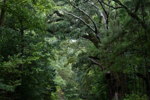
Bonneau Ferry WMA - Rice Hope Plantation
Bonneau Ferry Wildlife Management Area covers over 10,000 acres of pine savannahs, bottomland hardwoods, wildlife openings, wetlands, and reservoirs. Recreational opportunities range from hunting and fishing to bird watching, hiking, and viewing the area's rich cultural attributes, such as the ruins...
Learn more about Bonneau Ferry WMA - Rice Hope Plantation
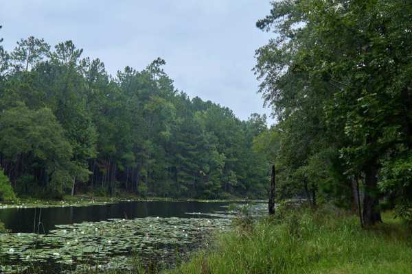
Bonneau Ferry WMA - Pond Recreation Area
Bonneau Ferry Wildlife Management Area covers over 10,000 acres of pine savannahs, bottomland hardwoods, wildlife openings, wetlands, and reservoirs. Recreational opportunities range from hunting and fishing to bird watching, hiking, and viewing the area's rich cultural attributes, such as the ruins...
Learn more about Bonneau Ferry WMA - Pond Recreation Area
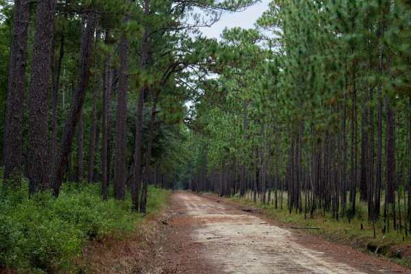
Bonneau Ferry WMA - Bottomland Hardwood Spur
Bonneau Ferry Wildlife Management Area covers over 10,000 acres of pine savannahs, bottomland hardwoods, wildlife openings, wetlands, and reservoirs. Recreational opportunities range from hunting and fishing to bird watching, hiking, and viewing the area's rich cultural attributes, such as the ruins...
Learn more about Bonneau Ferry WMA - Bottomland Hardwood Spur
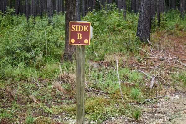
Bonneau Ferry WMA - Perimeter Loop B
Bonneau Ferry Wildlife Management Area covers over 10,000 acres of pine savannahs, bottomland hardwoods, wildlife openings, wetlands, and reservoirs. Recreational opportunities range from hunting and fishing to bird watching, hiking, and viewing the area's rich cultural attributes, such as the ruins...
Learn more about Bonneau Ferry WMA - Perimeter Loop B
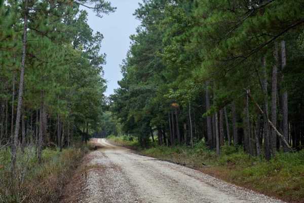
Bonneau Ferry WMA - Perimeter Loop - Alternative
Bonneau Ferry Wildlife Management Area covers over 10,000 acres of pine savannahs, bottomland hardwoods, wildlife openings, wetlands, and reservoirs. Recreational opportunities range from hunting and fishing to bird watching, hiking, and viewing the area's rich cultural attributes, such as the ruins...
Learn more about Bonneau Ferry WMA - Perimeter Loop - Alternative
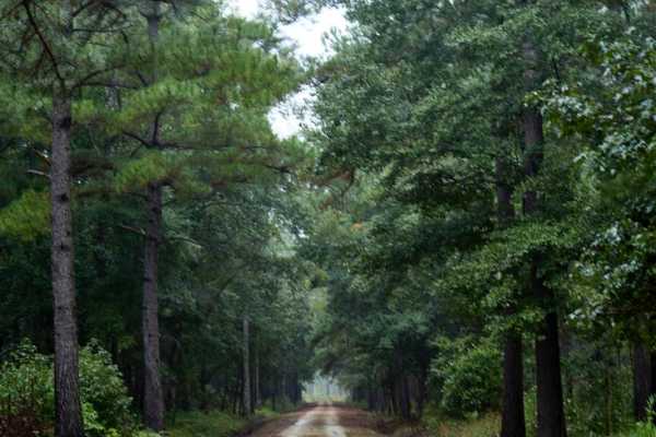
Bonneau Ferry WMA - Nimitz Road
Bonneau Ferry Wildlife Management Area covers over 10,000 acres of pine savannahs, bottomland hardwoods, wildlife openings, wetlands, and reservoirs. Recreational opportunities range from hunting and fishing to bird watching, hiking, and viewing the area's rich cultural attributes, such as the ruins...
Learn more about Bonneau Ferry WMA - Nimitz Road
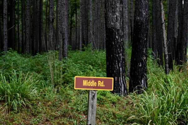
Bonneau Ferry WMA - Perimeter Loop 'B' - Alternate
Bonneau Ferry Wildlife Management Area covers over 10,000 acres of pine savannahs, bottomland hardwoods, wildlife openings, wetlands, and reservoirs. Recreational opportunities range from hunting and fishing to bird watching, hiking, and viewing the area's rich cultural attributes, such as the ruins...
Learn more about Bonneau Ferry WMA - Perimeter Loop 'B' - Alternate
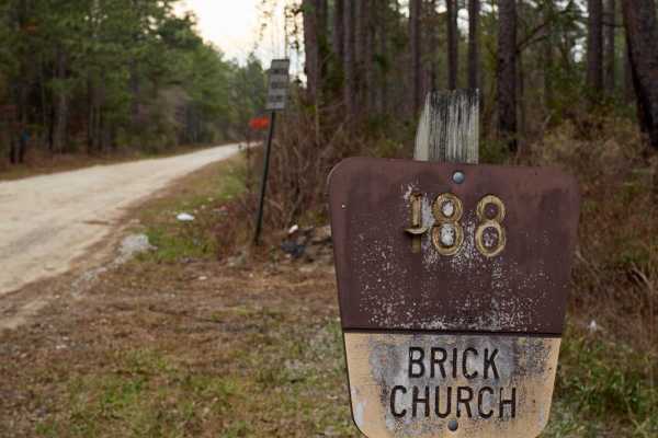
Brick Church & Hoover Road - FSR183 & FSR188
The Francis Marion National Forest is located north of Charleston, South Carolina. It is named for Revolutionary War hero Francis Marion, who was known to the British as the Swamp Fox. It lies entirely within the Middle Atlantic coastal forests ecoregion. The park is also entirely in a subtropical c...
Learn more about Brick Church & Hoover Road - FSR183 & FSR188
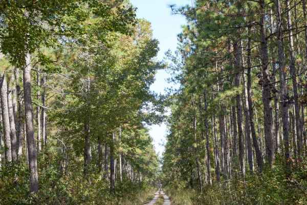
Coordesville - FSR 130
The Francis Marion National Forest, situated north of Charleston, South Carolina, bears the name of the Revolutionary War hero Francis Marion, who was dubbed the Swamp Fox by the British. It is nestled within the Middle Atlantic coastal forest ecoregion and is characterized by a subtropical conifero...
Learn more about Coordesville - FSR 130
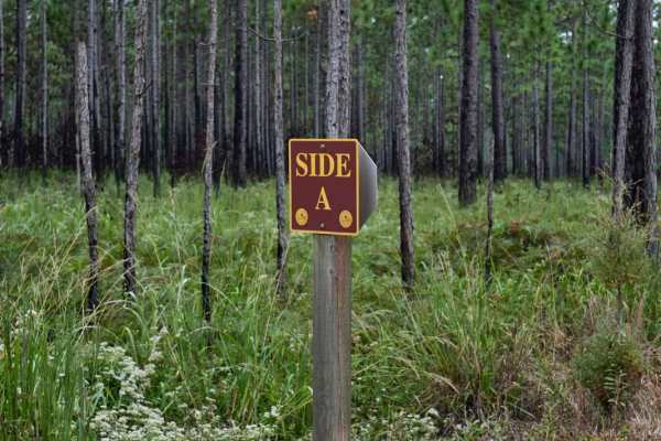
Bonneau Ferry WMA - Perimeter Loop A
Bonneau Ferry Wildlife Management Area covers over 10,000 acres of pine savannahs, bottomland hardwoods, wildlife openings, wetlands, and reservoirs. Recreational opportunities range from hunting and fishing to bird watching, hiking, and viewing the area's rich cultural attributes, such as the ruins...
Learn more about Bonneau Ferry WMA - Perimeter Loop A
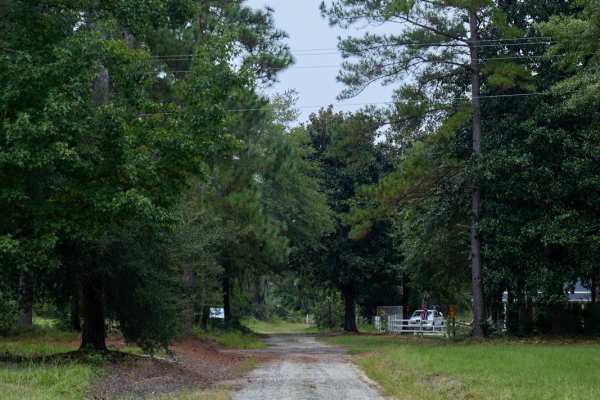
Bonneau Ferry WMA - Plantation Entrance
Bonneau Ferry Wildlife Management Area covers over 10,000 acres of pine savannahs, bottomland hardwoods, wildlife openings, wetlands, and reservoirs. Recreational opportunities range from hunting and fishing to bird watching, hiking, and viewing the area's rich cultural attributes, such as the ruins...
Learn more about Bonneau Ferry WMA - Plantation Entrance
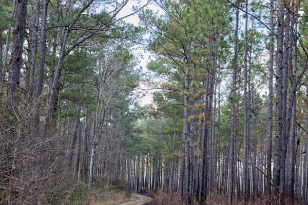
FSR130C - Coordesville Alt. C
The Francis Marion National Forest is located north of Charleston, South Carolina. It is named for revolutionary war hero Francis Marion, who was known to the British as the Swamp Fox. It lies entirely within the Middle Atlantic coastal forests ecoregion. The park is also entirely in a subtropical c...
Learn more about FSR130C - Coordesville Alt. C
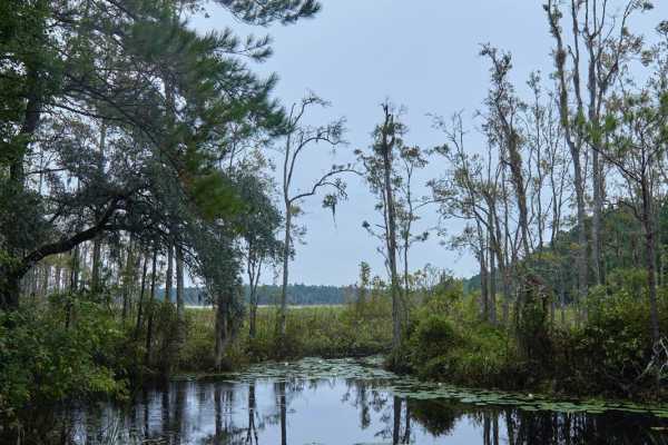
Bonneau Ferry WMA - Waterfowl Loop
Bonneau Ferry Wildlife Management Area covers over 10,000 acres of pine savannahs, bottomland hardwoods, wildlife openings, wetlands, and reservoirs. Recreational opportunities range from hunting and fishing to bird watching, hiking, and viewing the area's rich cultural attributes, such as the ruins...
Learn more about Bonneau Ferry WMA - Waterfowl Loop
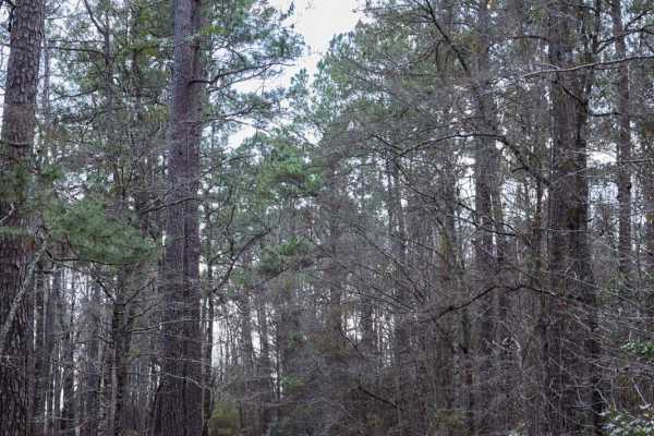
FSR134 - Wright Road
This trail, like many others in Francis Marion National Forest, traverses the upland hardwood forest, where wildlife is often spotted. The road is flat, with occasional muddy puddles, but there are no major obstacles. Unfortunately, Francis Marion National Forest has been littered with trash in rece...
Learn more about FSR134 - Wright Road
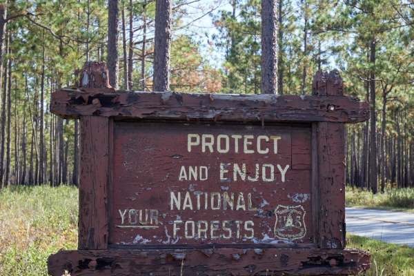
Ackerman - FSR 132
The Francis Marion National Forest, situated north of Charleston, South Carolina, bears the name of the Revolutionary War hero Francis Marion, who was dubbed the Swamp Fox by the British. It is nestled within the Middle Atlantic coastal forest ecoregion and is characterized by a subtropical conifero...
Learn more about Ackerman - FSR 132
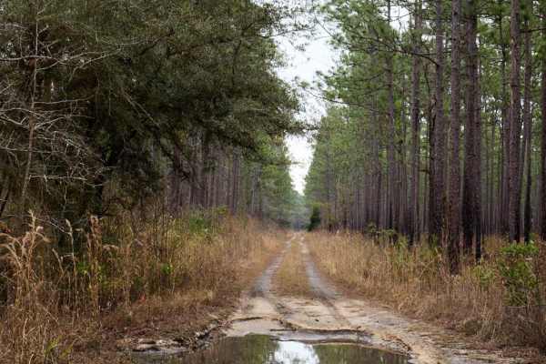
French Quarter - FSR229
The Francis Marion National Forest is located north of Charleston, South Carolina. It is named for Revolutionary War hero Francis Marion, who was known to the British as the Swamp Fox. It lies entirely within the Middle Atlantic coastal forests ecoregion. The park is also entirely in a subtropical c...
Learn more about French Quarter - FSR229

FSR198 - Callum Road
This trail, like many others in Francis Marion National Forest, traverses the upland hardwood forest, where wildlife is often spotted. It starts at one of the Palmetto Trail intersections and runs parallel to it for most of the way. The road is flat, with occasional muddy puddles, but there are no m...
Learn more about FSR198 - Callum Road
Beginner ATV trails near Summerville, South Carolina
Explore ATV-friendly trails near you. These trails are accessible for vehicles up to 50 inches wide, perfect for ATVs and smaller off-road machines.
County Line Road
County Line Road is a scenic off-road route that traces the boundary between Charleston and Dorchester counties. This backcountry road features a mix of sand, red clay, and gravel surfaces, offering varied terrain that changes with the weather. When dry, sections can become extremely dusty. After he...
Learn more about County Line Road
Brick Church & Hoover Road - FSR183 & FSR188
The Francis Marion National Forest is located north of Charleston, South Carolina. It is named for Revolutionary War hero Francis Marion, who was known to the British as the Swamp Fox. It lies entirely within the Middle Atlantic coastal forests ecoregion. The park is also entirely in a subtropical c...
Learn more about Brick Church & Hoover Road - FSR183 & FSR188
Coordesville - FSR 130
The Francis Marion National Forest, situated north of Charleston, South Carolina, bears the name of the Revolutionary War hero Francis Marion, who was dubbed the Swamp Fox by the British. It is nestled within the Middle Atlantic coastal forest ecoregion and is characterized by a subtropical conifero...
Learn more about Coordesville - FSR 130
FSR130C - Coordesville Alt. C
The Francis Marion National Forest is located north of Charleston, South Carolina. It is named for revolutionary war hero Francis Marion, who was known to the British as the Swamp Fox. It lies entirely within the Middle Atlantic coastal forests ecoregion. The park is also entirely in a subtropical c...
Learn more about FSR130C - Coordesville Alt. C
Beginner UTV/side-by-side trails near Summerville, South Carolina
Find UTV and side-by-side trails near you. These trails accommodate vehicles up to 60 inches wide, ideal for UTVs, side-by-sides, and wider off-road rigs.
County Line Road
County Line Road is a scenic off-road route that traces the boundary between Charleston and Dorchester counties. This backcountry road features a mix of sand, red clay, and gravel surfaces, offering varied terrain that changes with the weather. When dry, sections can become extremely dusty. After he...
Learn more about County Line Road
Brick Church & Hoover Road - FSR183 & FSR188
The Francis Marion National Forest is located north of Charleston, South Carolina. It is named for Revolutionary War hero Francis Marion, who was known to the British as the Swamp Fox. It lies entirely within the Middle Atlantic coastal forests ecoregion. The park is also entirely in a subtropical c...
Learn more about Brick Church & Hoover Road - FSR183 & FSR188
Coordesville - FSR 130
The Francis Marion National Forest, situated north of Charleston, South Carolina, bears the name of the Revolutionary War hero Francis Marion, who was dubbed the Swamp Fox by the British. It is nestled within the Middle Atlantic coastal forest ecoregion and is characterized by a subtropical conifero...
Learn more about Coordesville - FSR 130
FSR130C - Coordesville Alt. C
The Francis Marion National Forest is located north of Charleston, South Carolina. It is named for revolutionary war hero Francis Marion, who was known to the British as the Swamp Fox. It lies entirely within the Middle Atlantic coastal forests ecoregion. The park is also entirely in a subtropical c...
Learn more about FSR130C - Coordesville Alt. C
The onX Offroad Difference
onX Offroad combines trail photos, descriptions, difficulty ratings, width restrictions, seasonality, and more in a user-friendly interface. Available on all devices, with offline access and full compatibility with CarPlay and Android Auto. Discover what you're missing today!
Open Trail Map