
Beginner Off-Road Trails
Near Schubert, Pennsylvania
Explore All Beginner Trails Near Schubert, Pennsylvania
Beginner Off-Road Trails Near Schubert, Pennsylvania
Discover the best beginner-friendly off-road trails near you. These easier, lower-rated trails are a great place to start — browse trail maps, check difficulty ratings, and find your next adventure.
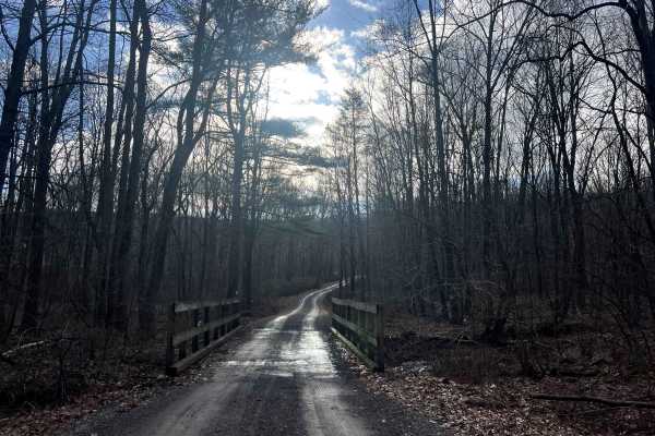
Bear Creek Road
This road exists to provide access to State Game Lands 110 and the Bartram Trail. It is a beautiful drive down a rugged gravel road through the forest and across a mountain stream to a very remote area of Schuylkill County. There is a large parking lot at the end of the road. Don't be scared by the ...
Learn more about Bear Creek Road
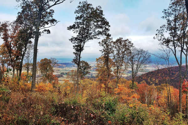
Oak Road
Oak Road winds through the rugged Port Clinton Tract of Weiser State Forest, providing access to top spots like the Port Clinton Fire Tower, the popular hiking destination of the Pinnacle Trail, and several other rewarding hiking adventures. Designated roadside campsites are available along the trai...
Learn more about Oak Road
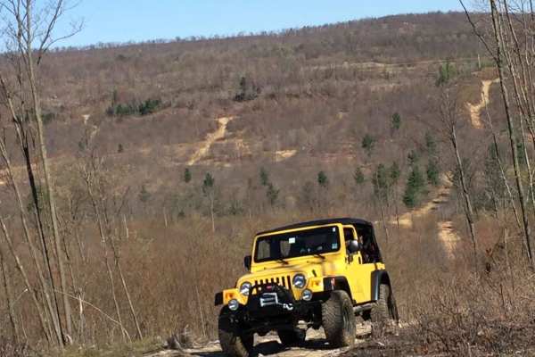
R1
R1 serves as the connector between the trails atop the ridge, offering a smooth pathway with occasional small rocks and moderate puddles to navigate. As there is only one other green trail on the ridge, and it can be challenging at times, it's important to plan your route accordingly. Keep in mind t...
Learn more about R1
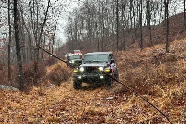
R2
R2 is a relatively new trail and may appear a little grassy as it is not frequently used. However, it offers an enjoyable experience if you find yourself on the ridge and seeking green trails. Although the map indicates it leads to a blue trail and stops, you can continue onward, as that section of ...
Learn more about R2
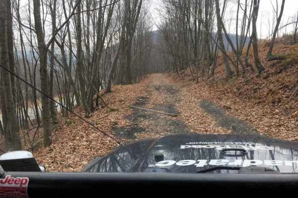
L
Trail L primarily follows an old railroad bed alongside Route 81. It provides a pleasant experience, allowing you to observe the highway while driving down an easier trail. However, there is a rutted and slightly rocky section between the railroad bed and Trail R. This part of the trail can be brush...
Learn more about L
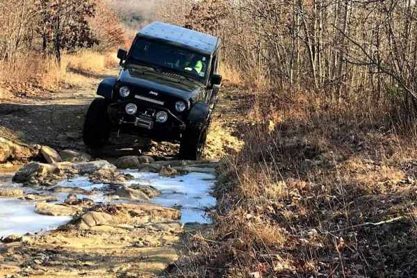
N3 - South
This section of N3 follows an old roadway and railroad line, which has become rocky and washed out over the years. It consistently has water flowing on it and undergoes constant changes. While it can be navigated with a stock vehicle, careful driving is required. Some of the washouts can be quite de...
Learn more about N3 - South
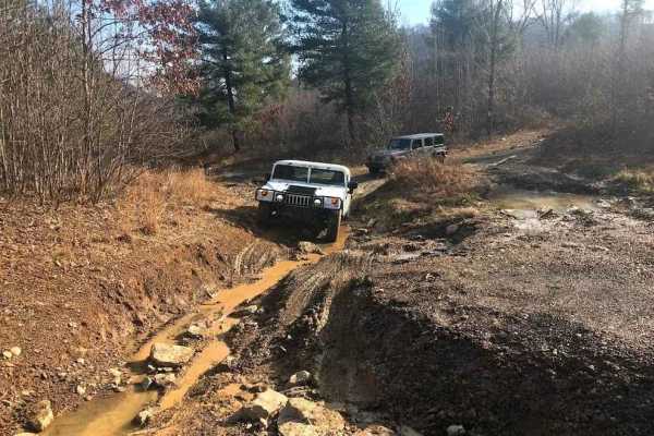
R
Trail R serves as a connector between N3 and the trail atop the ridge at R1, providing the sole access point to reach that area. It is a slightly rocky, washed-out, and rutted trail that ascends the hill to the southernmost trails.
Learn more about R
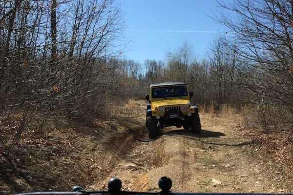
Area 51 Green C
Area 51 comprises multiple sections, serving as a connector for various trail areas. The trail network in this region originated from ground tests, where a bulldozer plowed paths to assess minerals in the soil. Consequently, these paths evolved into interconnected trails, explaining their appearance...
Learn more about Area 51 Green C
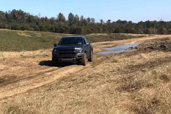
Area 51 Green B
This section of Area 51 traverses through field areas, featuring open paths between planted fields with occasional rocks and puddles. The trails are generally straightforward with minor obstacles to watch for. However, there is one part characterized by a tight, brushy trail with a small hill climb.
Learn more about Area 51 Green B
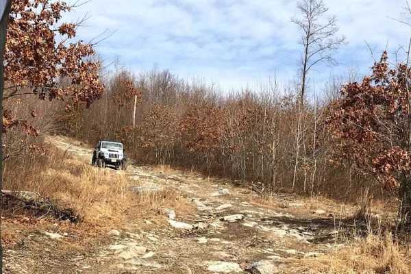
K1
K1 consists of two separate hill climbs, both featuring rocky terrain with ruts to navigate. The northern hill is easier compared to the southern one. Trails in the middle offer branching options to alter your route. This trail connects from N3 to the other section of N3.
Learn more about K1
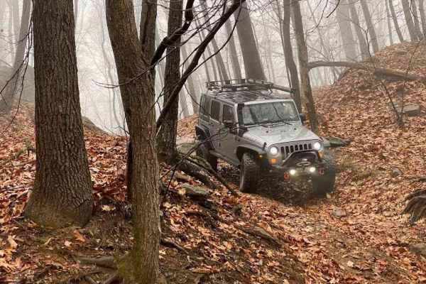
Halfpipe Trail
The Halfpipe derives its name from its distinctive shape resembling a half pipe. It's essentially a random pit with a trail running down through the middle, featuring a challenging entrance and exit. This trail serves as a convenient shortcut from T1 to N3 and other sections in this corner of the ar...
Learn more about Halfpipe Trail
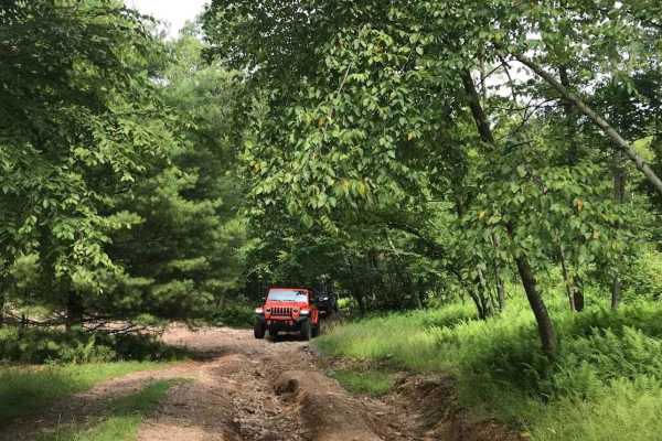
T6
T6 offers varied terrain throughout its extent, featuring smooth sections, ruts, rocks, and a decent hill. While the obstacles are not overly difficult, drivers should exercise caution. Stock vehicles can easily navigate this trail with careful attention.
Learn more about T6
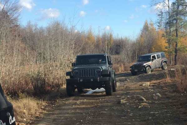
Jurassic Park
Jurassic Park earned its name from its resemblance to the prehistoric landscape on a foggy morning. It is classified as a green-level trail, featuring a few small ledges and a couple of puddles. While not particularly difficult, it is easily navigable with a stock vehicle. However, there are enough ...
Learn more about Jurassic Park
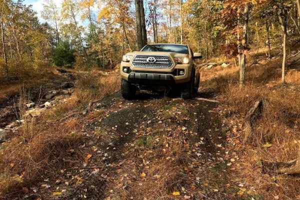
Talisman Access Trail
This trail serves as the access point to the top of Lower Talisman, the bottom of Upper Talisman, and BFG Hill. It's categorized as a green trail and can be paired with the lower part of BFG Hill to create a satisfying and challenging loop. While you can expect a few small rocks and obstacles, it ge...
Learn more about Talisman Access Trail
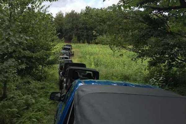
Old High Speed Area B
The Old High Speed Area is divided into multiple sections, reminiscent of its past as a race course, featuring numerous smooth, flat sections that create loops and tiers across the area. While relatively obstacle-free, occasional small rocks, puddles, and a few hills may be encountered along the way...
Learn more about Old High Speed Area B
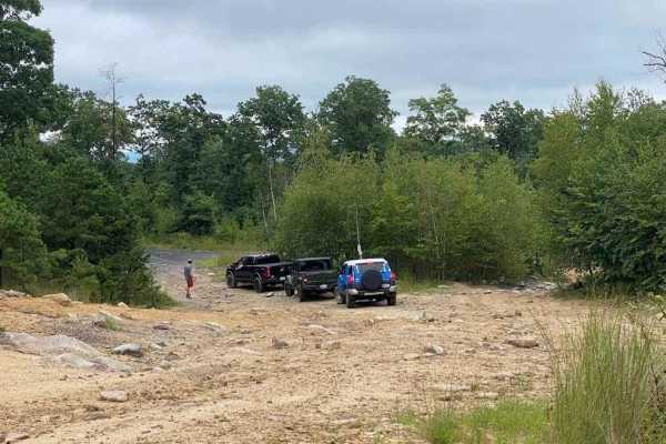
N4
One of the quickest and easiest routes from the depths of the northeast property to return towards the office is N4. It leads through the old high-speed area and up near Blacktop Road, giving you the flexibility to choose your next route. It is an easy trail to drive and navigate through.
Learn more about N4
Old High Speed Area C
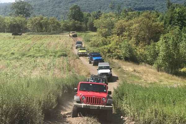
The Old High Speed Area is broken down into multiple sections. As a former race course area, it boasts numerous smooth, flat sections that create loops and tiers across the area. Obstacles in this terrain typically include occasional small rocks, puddles, and a few hills.
Learn more about Old High Speed Area C
Area 51 Green A
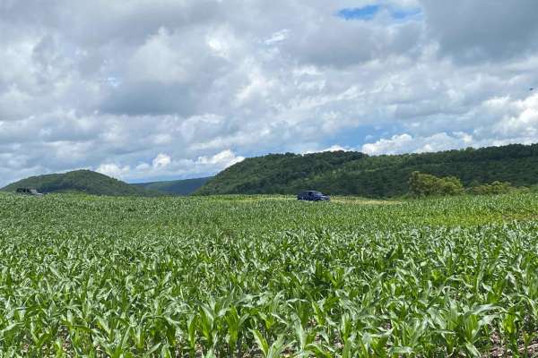
This section of Area 51 runs through field areas, offering open paths between planted fields with occasional rocks and puddles. The trails are generally straightforward, with minor obstacles to watch for. This area includes Pit Jr and connects to multiple other areas within Area 51. It is considered...
Learn more about Area 51 Green A
Pit Jr.
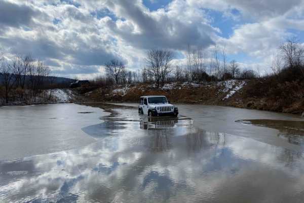
Pit Jr. serves as a retention pond where offroaders are permitted to engage in recreational activities. This section encompasses both the play area and the trails surrounding it. During rainy periods, Pit Jr. can reach a significant depth, with depths observed up to 30 inches. Additionally, there is...
Learn more about Pit Jr.
T6 to T1 Crossover
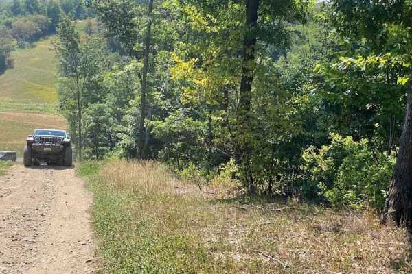
This crossover was formed during the construction of the Pipeline. It provides a straightforward transition between two green trails, offering an opportunity to vary trail routes. It's frequently utilized as a quicker route to access some of the more challenging trails off of T1.
Learn more about T6 to T1 Crossover
Beginner ATV trails near Schubert, Pennsylvania
Explore ATV-friendly trails near you. These trails are accessible for vehicles up to 50 inches wide, perfect for ATVs and smaller off-road machines.
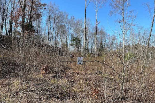
St. Keirns 43
This dead-end trail continues on off of the property but please do not trespass onto others properties. Trail 43 is a brushy trail with water puddles, stumps, and small rocks. At certain times of the year it is massively overgrown and is not easily traversed with a full-size vehicle.
Learn more about St. Keirns 43
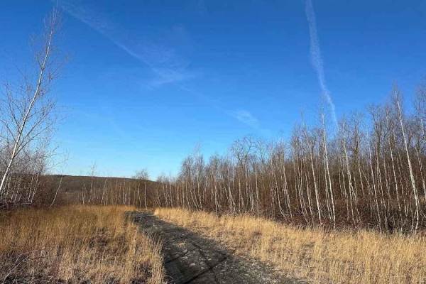
St. Keirns 130
St. Keirns 130 starts at the gate off of Route 901 and heads northeast to connect to Trail 125. The trail is quite smooth and has few obstacles. There are small rocks, shallow puddles, and some random branches. The gate is not an entrance so this trail is technically a dead end.
Learn more about St. Keirns 130
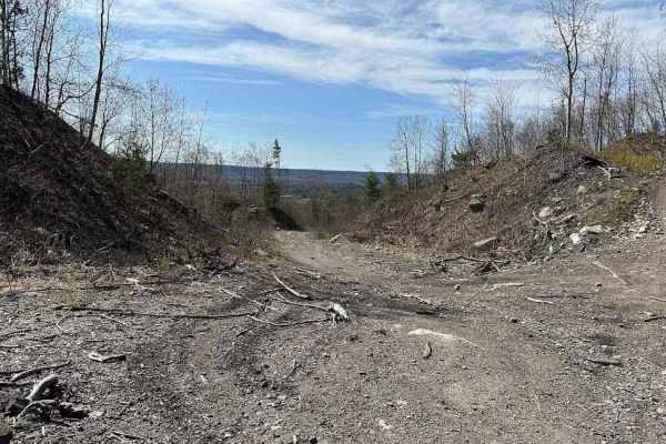
St. Keirns 4
St. Keirns 4 goes up the hill from the Minersville Route up to the active mining. Stay out of the active mining area as it is off-limits. This trail has small washouts, rocks, sticks, logs, and loose dirt. The trail is not overly challenging but ride with caution.
Learn more about St. Keirns 4

Old Minersville Route
The Old Minersville Route was part of the connection between Darkwater and the town of Minersville. The route has changed and this is an old section of it for those who liked this route better. This connects to the old route and works as a longer bypass. Be careful and follow the signs.
Learn more about Old Minersville Route
Beginner UTV/side-by-side trails near Schubert, Pennsylvania
Find UTV and side-by-side trails near you. These trails accommodate vehicles up to 60 inches wide, ideal for UTVs, side-by-sides, and wider off-road rigs.
St. Keirns 43
This dead-end trail continues on off of the property but please do not trespass onto others properties. Trail 43 is a brushy trail with water puddles, stumps, and small rocks. At certain times of the year it is massively overgrown and is not easily traversed with a full-size vehicle.
Learn more about St. Keirns 43
St. Keirns 130
St. Keirns 130 starts at the gate off of Route 901 and heads northeast to connect to Trail 125. The trail is quite smooth and has few obstacles. There are small rocks, shallow puddles, and some random branches. The gate is not an entrance so this trail is technically a dead end.
Learn more about St. Keirns 130
St. Keirns 4
St. Keirns 4 goes up the hill from the Minersville Route up to the active mining. Stay out of the active mining area as it is off-limits. This trail has small washouts, rocks, sticks, logs, and loose dirt. The trail is not overly challenging but ride with caution.
Learn more about St. Keirns 4
Old Minersville Route
The Old Minersville Route was part of the connection between Darkwater and the town of Minersville. The route has changed and this is an old section of it for those who liked this route better. This connects to the old route and works as a longer bypass. Be careful and follow the signs.
Learn more about Old Minersville Route
The onX Offroad Difference
onX Offroad combines trail photos, descriptions, difficulty ratings, width restrictions, seasonality, and more in a user-friendly interface. Available on all devices, with offline access and full compatibility with CarPlay and Android Auto. Discover what you're missing today!
Open Trail Map