
Beginner Off-Road Trails
Near Savannah, New York
Explore All Beginner Trails Near Savannah, New York
Beginner Off-Road Trails Near Savannah, New York
Discover the best beginner-friendly off-road trails near you. These easier, lower-rated trails are a great place to start — browse trail maps, check difficulty ratings, and find your next adventure.
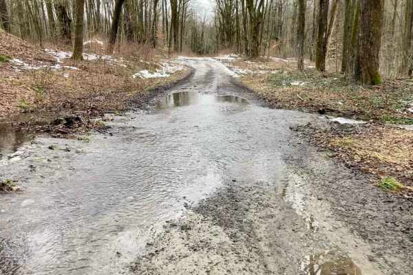
Bear Swamp
Seasonal two-track that winds through the Bear Swamp State Forest. During Spring and Fall, the trail is very wet with water crossings up to four inches. During the summer it provides a scenic trek through a deciduous forest. Trail has some rocks over four inches, and in the fall and spring can have ...
Learn more about Bear Swamp
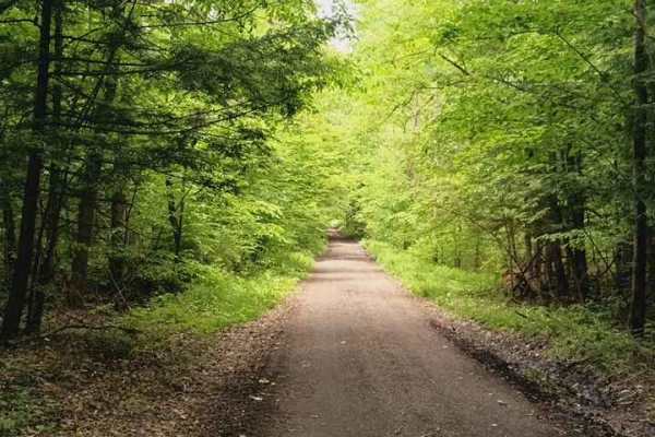
Brake Hill Road
This is a seasonal road that runs the ridge. Lots of wide-open views and nice cool woods that provide a nice cool ride when it's hot in the summer. Easy drive with mild potholes and mud puddles. There are some hiking trails that are part of the Finger Lakes Trails System with parking on the side of ...
Learn more about Brake Hill Road
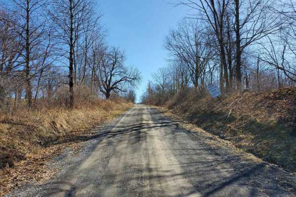
Wilkens Townsend Road
This seasonal road runs from Lodi Center Road to Townsendville Road. The Interloken Trail crosses the road where it changes name. This intersection of Ames Road has a parking area for using the trail heading north and south. During the winter, a small section of Townsend Road doubles as a snowmobil...
Learn more about Wilkens Townsend Road
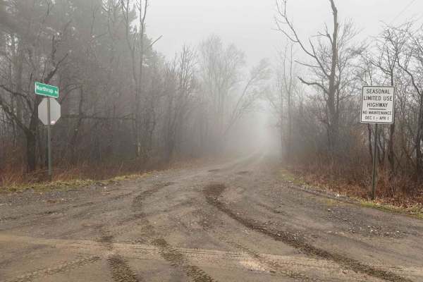
Northrup Hill Road
This seasonal road runs along and through sections of flooded woodland. At the south end, it intersects with West Lightning Road, which has access to Italy Hill State Forest. The road is not well-maintained and has several potholes and mud puddles. All of the land along the road is private property ...
Learn more about Northrup Hill Road
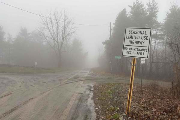
West Lightening Road
This seasonal road terminates at a large parking lot in Italy Hill State Forest. This area is open to camping and hunting. A gated-off gas well road, Old Pulver Road, transects the forest and terminates at the Pulver Road parking lot. The Finger Lakes Trail runs through the forest as well, and a lea...
Learn more about West Lightening Road
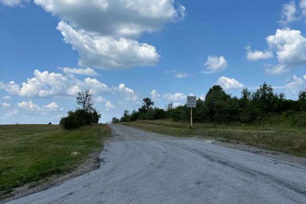
View Board Road
This seasonal road is atop South Hill and offers a picturesque trip along a wooded path. It is a short distance from High Tor Wildlife Management Area and runs adjacent to a private hunting preserve. The woods offer a beautiful trip during the Fall for colorful foliage and views of the nearby hills....
Learn more about View Board Road
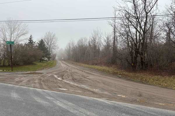
Little Church Road
This is short seasonal road that can be be added to a route for a winter run. The road travels through a wooded area. Towards the west end an old house foundation can be seen just of the side of the road. During the fall season the road would offer an opportunity to travel through a tunnel of changi...
Learn more about Little Church Road
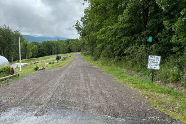
Warren Road
This road descends from the top of East Hill to Italy Valley. The road travels through a large patch of woods that makes for a nice shaded trip in warmer weather. A section of the woods is being managed with deer habitat improvement projects. The road is steeper the closer you get to the valley bott...
Learn more about Warren Road
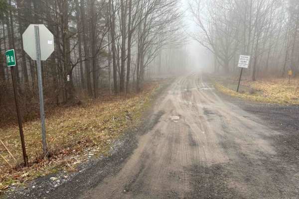
Potts Road
This seasonal road makes for a wonderful trip in the fall when the leaves are changing colors. During the winter, accessing the road could be difficult due to snow being piled at either end. It makes for a great connector road when building a route of the nearby trails and roads.
Learn more about Potts Road
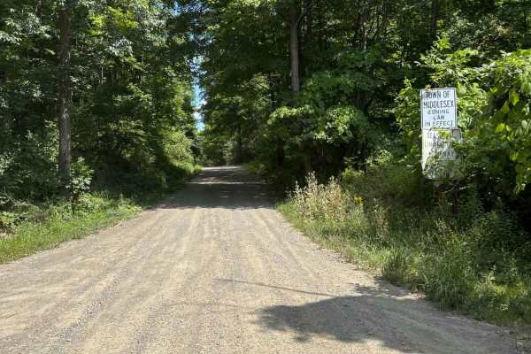
South Hill Road
This road travels through High Tor Wildlife Management Area. There are several areas to stop and access the WMA. There is a parking area to access more of the area. There is now a gate blocking the access road to an overlook, which is not far from the parking lot.
Learn more about South Hill Road
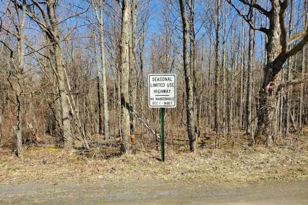
Potomac Road
In the northern section of the Finger Lakes National Forest, the seasonal Potomac Road runs right through the middle with open pastures full of views of the region. The dirt portion runs from Seneca Road south of the Picnic Area Road with access to Potomac Group Camp Ground.
Learn more about Potomac Road
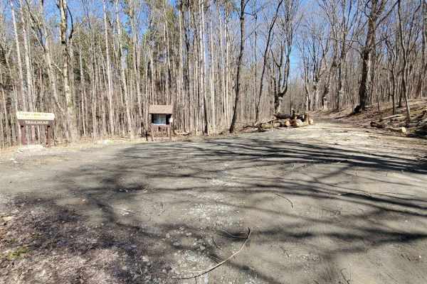
Burnt Hill Road
Burnt Hill Road is a seasonal road that starts at Picnic Area Road and heads south to State Route 79. There are several parking areas to access hiking trails such as the Interloken Trail. During the winter, this road is used to access snowmobile trails at the marked parking areas.
Learn more about Burnt Hill Road
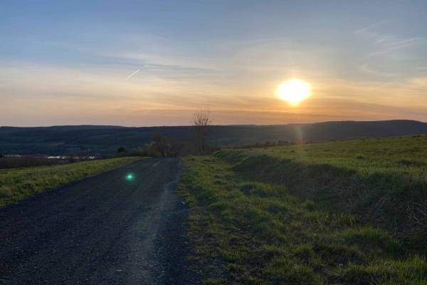
Sunset Hill in Homer
These are gravel roads that lead to a single two-track. The two-track winds through fields and woods. In the summer, there is a long stretch covered in a full canopy. In the winter, much of this route turns into a snowmobile track and is off-limits to full-size vehicles. The full route is on seasona...
Learn more about Sunset Hill in Homer

Morgan Hill
The route is through Morgan Hill State Forest on seasonal roads. The road is gravel, single-lane, and well-maintained. There are multiple scenic views toward Labrador Hollow and numerous side roads and hiking trails. The main road is safe for any vehicle, while an SUV is recommended for the side ...
Learn more about Morgan Hill
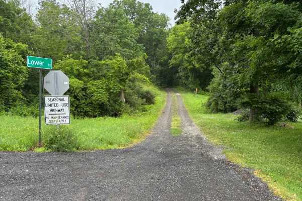
Lower Road
This road runs along West Italy Hill and has several gullies that intersect the road. There are some great views to glimpse through the trees, but the most impressive thing is the gullies. Several are large and have washed out the road in a few sections. The town has repaired them, but in this secti...
Learn more about Lower Road
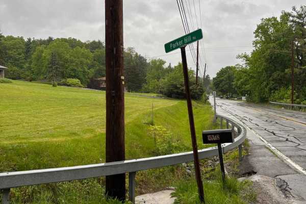
Parker Hill Road
This seasonal road climbs up the hill from 54a and the picturesque Keuka Lake. The road offers a beautiful ascent from the lake to the vineyards at the top of the hill. Its wooded sections will offer a colorful jaunt during the Fall. The road is maintained during the warmer months and could be hazar...
Learn more about Parker Hill Road
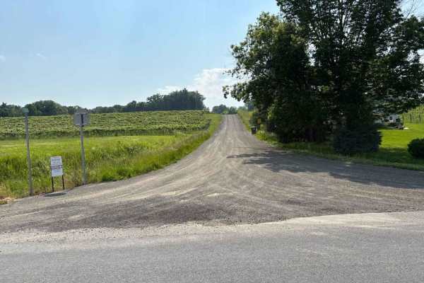
Tobey Road
Traveling from the east end, you will drive by a neighborhood yard waste depot and then through a vineyard. The road will turn seasonal and take you through some more vineyards and offer a beautiful view of the area. The open fields offer an opportunity to observe birds and wildlife. The seasonal se...
Learn more about Tobey Road
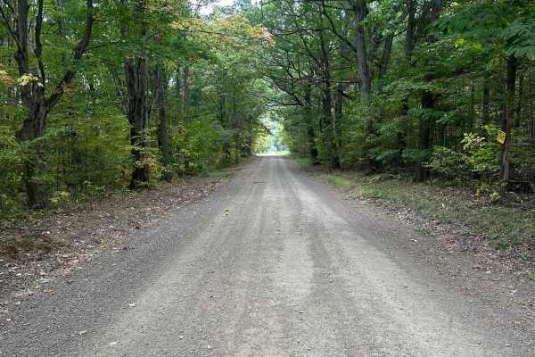
Bauchman Road
This is a seasonal road that is maintained in the warmer months and easily driven. The road is fairly level and graded. It offers a good view of Italy Hill and views of the fall foliage. During the winter months the road is not plowed and is difficult to travel in heavy snow or icy conditions. This ...
Learn more about Bauchman Road
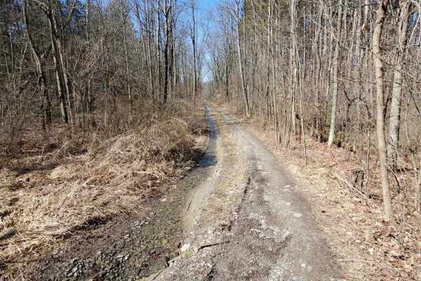
West Hill Trail
This is a spur trail off Burnt Hill Road, this trail leads you into the western side of Finger Lakes National Forest. It drops you in a small clearing with a primitive campsite. If there has been any rain, there is a wet area with a solid base on the drive-in.
Learn more about West Hill Trail
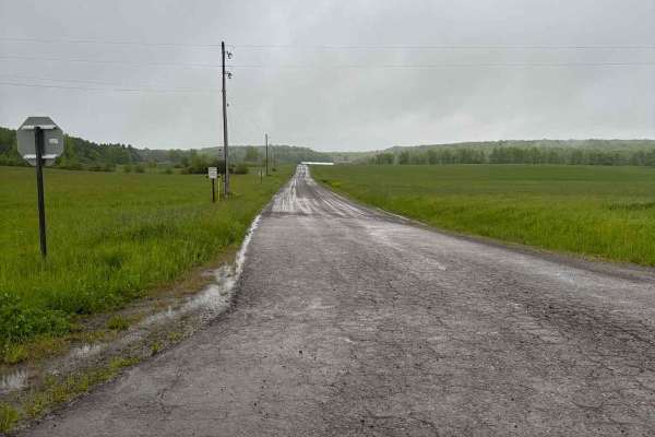
Gay Road
This seasonal road runs north and south and passes through farmland. The road is reasonably maintained during the warmer months, but will not be plowed in the winter. The open fields will lead to drifting, making the road difficult to travel. The road and its open spaces allows for beautiful scenery...
Learn more about Gay Road
Beginner ATV trails near Savannah, New York
Explore ATV-friendly trails near you. These trails are accessible for vehicles up to 50 inches wide, perfect for ATVs and smaller off-road machines.
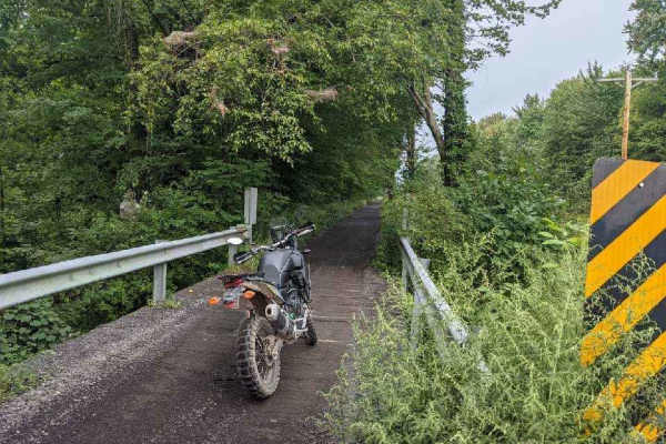
Oswego Recreational Trail
The Oswego Recreational Trail is an old railroad bed with various surface types and old road millings. Very flat with some whoops and potholes in places. It's a nice easy ride through wooded, shaded areas and runs through the three-mile bay wildlife area. There are a couple of restaurants, bars, and...
Learn more about Oswego Recreational Trail
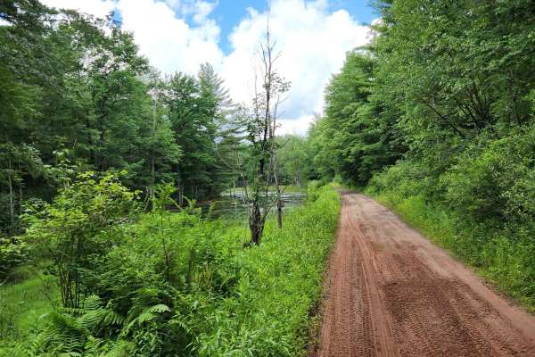
Happy Valley Road
Stony loamy trail connecting Route 26 and Stone Hill Road. The road goes through Happy Valley Wildlife Management Area. There is a pull-off access to Whitney Pond for fishing, hiking, or viewing wildlife. This road is part of the Oswego County ATV club so use caution for oncoming ATV traffic.
Learn more about Happy Valley Road
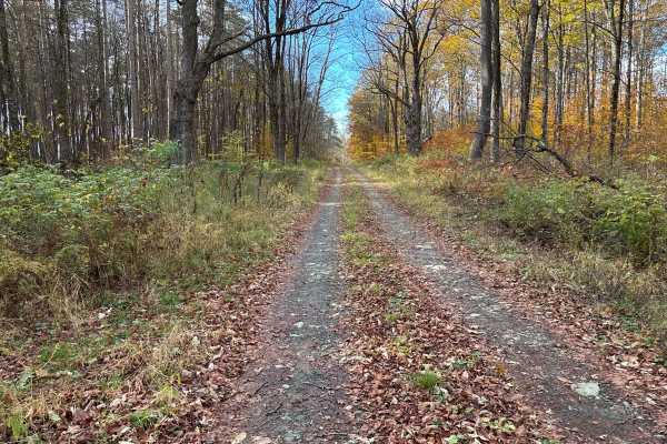
Cross Island Road
This is a seasonal gravel road that winds through the eastern section of Taylor Valley State Forest. The road starts with well-maintained gravel and transitions into a narrower two-track as it pushes deeper into the forest. Cross Island Road provides a scenic drive through mixed hardwoods and conife...
Learn more about Cross Island Road
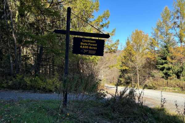
Linklaen State Forest
This route consists of seasonal gravel roads that are generally well-maintained in the summer. During the winter the roads are used for snowmobile trails. The roads lead to several side routes that are two-tracks, most are out-and-back routes and will add adventure to the ride. The main road is easi...
Learn more about Linklaen State Forest
Beginner UTV/side-by-side trails near Savannah, New York
Find UTV and side-by-side trails near you. These trails accommodate vehicles up to 60 inches wide, ideal for UTVs, side-by-sides, and wider off-road rigs.
Oswego Recreational Trail
The Oswego Recreational Trail is an old railroad bed with various surface types and old road millings. Very flat with some whoops and potholes in places. It's a nice easy ride through wooded, shaded areas and runs through the three-mile bay wildlife area. There are a couple of restaurants, bars, and...
Learn more about Oswego Recreational Trail
Happy Valley Road
Stony loamy trail connecting Route 26 and Stone Hill Road. The road goes through Happy Valley Wildlife Management Area. There is a pull-off access to Whitney Pond for fishing, hiking, or viewing wildlife. This road is part of the Oswego County ATV club so use caution for oncoming ATV traffic.
Learn more about Happy Valley Road
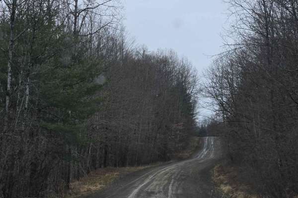
Templar Falls - Sugar Hill Road
This is an easy dirt road that will become rutted and muddy come spring. This section has access to primitive camping and multiple hiking trails including the Finger Lakes Trail, A-Trail, and Mohawk Trail. Mohawk trail activities include hiking, horseback, mountain biking, snowmobiling, and cross-co...
Learn more about Templar Falls - Sugar Hill Road
Cross Island Road
This is a seasonal gravel road that winds through the eastern section of Taylor Valley State Forest. The road starts with well-maintained gravel and transitions into a narrower two-track as it pushes deeper into the forest. Cross Island Road provides a scenic drive through mixed hardwoods and conife...
Learn more about Cross Island Road
The onX Offroad Difference
onX Offroad combines trail photos, descriptions, difficulty ratings, width restrictions, seasonality, and more in a user-friendly interface. Available on all devices, with offline access and full compatibility with CarPlay and Android Auto. Discover what you're missing today!
Open Trail Map