
Beginner Off-Road Trails
Near Russell Springs, Kentucky
Explore All Beginner Trails Near Russell Springs, Kentucky
Beginner Off-Road Trails Near Russell Springs, Kentucky
Discover the best beginner-friendly off-road trails near you. These easier, lower-rated trails are a great place to start — browse trail maps, check difficulty ratings, and find your next adventure.
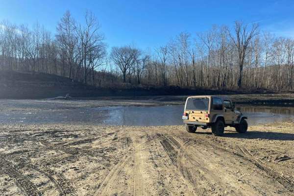
Oil Center WMA Main Via Ringgold Road
Note that this trail is impassable during high pool seasons of Lake Cumberland, from around March to October. Exercise caution and observe the water level. This route provides access through one of four roads to the Lake Cumberland WMA at Oil Center. Please keep in mind that this area is maintained ...
Learn more about Oil Center WMA Main Via Ringgold Road
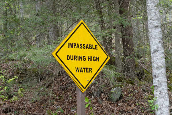
Woods Road
Woods Road is a great area that offers dispersed camping, campground camping, hiking, and fishing options all along the 7 mile stretch of gravel. Woods Road parallels Rock Creek for most of its length and provides a great base to further explore Daniel Boone National Forest and Big South Fork. Gobbl...
Learn more about Woods Road
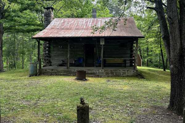
Bell Farm Road - FS 564
Bell Farm Road is a well-maintained, two-vehicle-wide gravel road that turns off of a Y in the road. This is a beautiful ride along some pastureland, and there is a nice overlook along the way. I did not see any camping opportunities along this route, although the map says it is permitted within 300...
Learn more about Bell Farm Road - FS 564
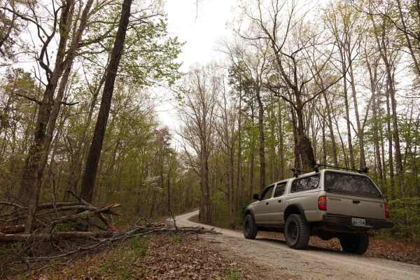
Dolan Mountain
Dolan Mountain Road is an easy, 4.2-mile scenic gravel route in the Daniel Boone National Forest that is perfect for beginners and stock SUVs looking to explore the Kentucky highlands. Climbing from Rock Creek at an elevation of 936 feet up to the ridge of Dolan Mountain at 1,579 feet, this well-mai...
Learn more about Dolan Mountain
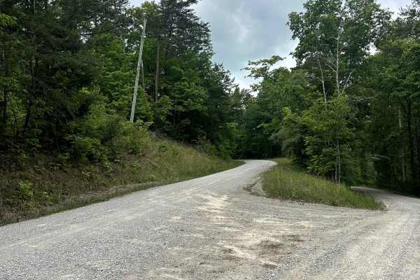
Parker Mountain Road
Parker Mountain Road is a well-maintained, improved, two-vehicle-width gravel road that can be used to travel between Bell Farm Road on the east and Highway 167 on the West end. Along the way, there are two overlooks with nice views and also a great, easy two-mile hike to the beautiful Buffalo Arch....
Learn more about Parker Mountain Road
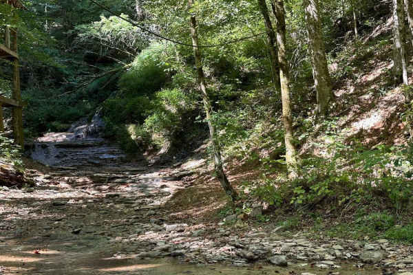
Waterfall Trail
This section of the trail takes you back to a scenic waterfall. The trail winds around a ridge with some tight turns but is not technical in nature. The waterfall is a cascade type that you can climb and is a great place to take photos or eat a light lunch.
Learn more about Waterfall Trail
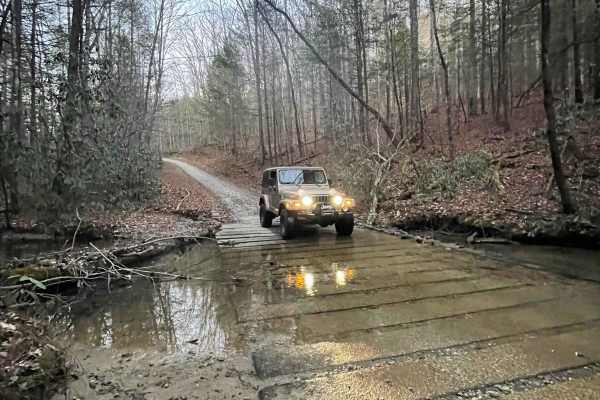
646A Straight Creek
This is a mostly well-maintained Forest Service road, with various developed water crossings. It provides access to Williams Siding Road (Williams Siding ATV trail) as well. Entry is through a residential area, so be courteous to the locals. This trail ends at a large turnaround/ undeveloped campin...
Learn more about 646A Straight Creek
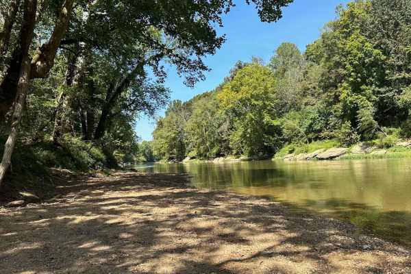
River Beach Access
The trail follows along the edge of a field before dropping down by the water's edge. You may encounter a few small mud holes on your way. The beach is rocky and big enough to fit several vehicles. There are optional steep climbs to return to the main trail if you want a challenge.
Learn more about River Beach Access
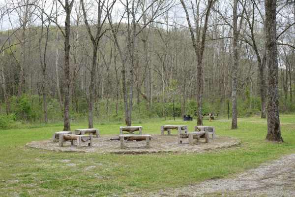
Rock Creek Road
Rock Creek Road parallels the stream from which it gets its name for approximately 8.2 miles. While there are several day use and dispersed campsites along the road it also passes by some private property. Rock Creek is stocked with rainbow by the Kentucky Department of Fish and Wildlife throughout ...
Learn more about Rock Creek Road
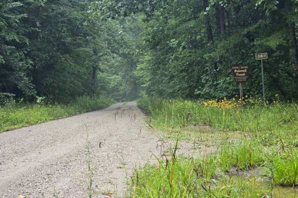
Peters Mountain Road - FS 569
Starting at the Tennessee / Kentucky boarder, this easy gravel road transitions you from Big South Fork National River and Recreation Area into the Daniel Boone National Forest. Easy single lane drive through the woods. This connnecting trail has many cool side trails to old cemeteries and trailhead...
Learn more about Peters Mountain Road - FS 569
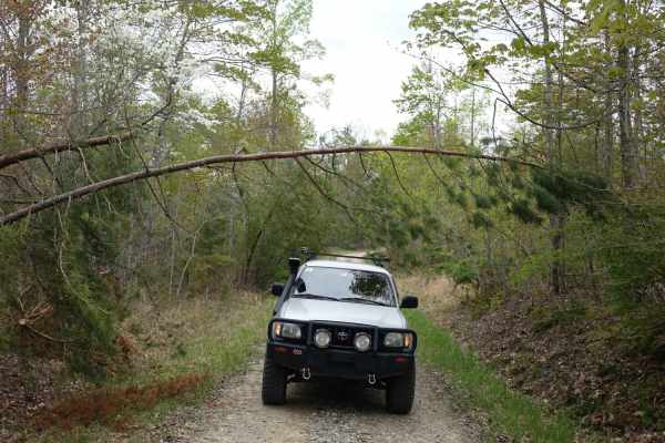
Lexton Mountain
Lexton Mountain Road is a 2.5 gravel two-track that dead-ends at a nice campsite that could accommodate three to four trucks. Different from a lot of the road in the area this one travels along the top of the ridge versus the in the bottom of a valley. Be prepared for the possibility of small trees ...
Learn more about Lexton Mountain
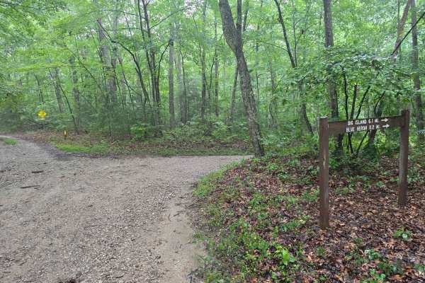
Laurel Ridge Road - FS 637
This is an easy single-lane gravel road that connects you from Forest Road 569 to Beech Grove Road. While the road is easy for 2WD or 4WD, this road is single-lane with not too many pull-off opportunities. After a rainstorm, you can encounter downed trees. Keep an eye out for the arch!
Learn more about Laurel Ridge Road - FS 637
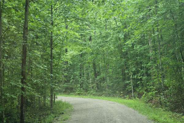
Terry Cemetery Road
Easy gravel road with room to pass another vehicle. This road has access to many hiking trails. This is a shared trail, so watch out for hikers or horses! The trail dead ends into a cemetery. Be careful after a storm, as you could encounter fallen trees. There are other cut-off trails on this one, b...
Learn more about Terry Cemetery Road
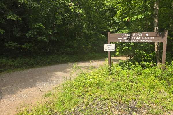
Blevins Cemetery Road
Easy single-lane gravel road. This trail dead-ends into the Blevins Cemetery and is the Rock Creek Loop trailhead. There's no room for trailers, but plenty of room to turn around at the end. Like all the other roads in this area, after a rainstorm, trees could fall, so having a chainsaw handy would ...
Learn more about Blevins Cemetery Road
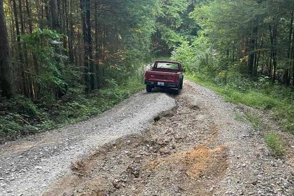
Bear Creek Falls (5138)
Access to a beautiful waterfall into the Rockcastle River. Characteristics of an old Forest Service Road. Large gravel, dirt, and shallow water crossings. Some washouts around one foot deep. Beautiful drive through a less-trafficked area of Daniel Boone National Forest. There is a possibility of dow...
Learn more about Bear Creek Falls (5138)
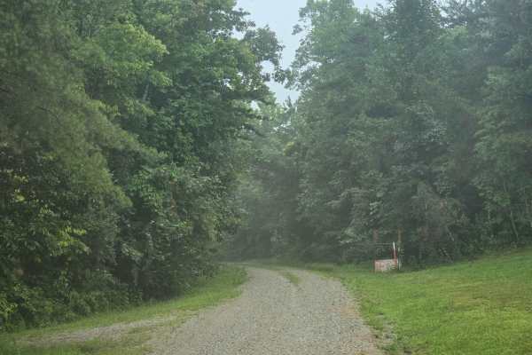
Ledbetter Road - FS 100
This is an easy single-lane road that dead-ends into a cemetery. There is room to go around slower vehicles. Multiple hiking trailheads are down this road; make sure to stay left at the split, as the right side is only for horses. Maintained road, but fallen trees after a storm are possible.
Learn more about Ledbetter Road - FS 100
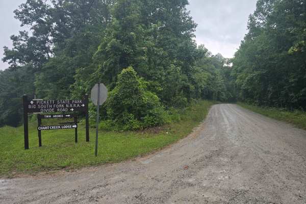
Divide Road
This is an easy gravel road. Mostly two-lane until you pass the road for the twin arches, and then it is a single lane. The first half has a lot of potholes, but nothing two-wheel drive can't avoid. Lots of Signage so you won't get lost! This road starts in Tennessee and continues across the state l...
Learn more about Divide Road
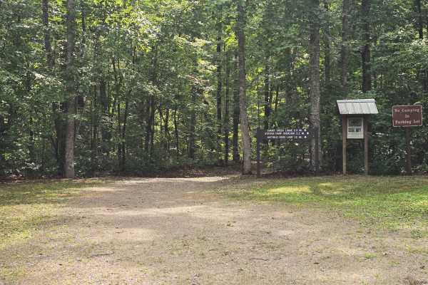
Hatfield Ridge Trail
This is a slick single-lane road with not many pull-offs. This is a shared trail for horses, hikers, and vehicles, so watch out. This trail dead ends into a trailhead with very limited turnarounds. In the event of a big storm, there could be lots of downed trees. It also has a very small waterfall (...
Learn more about Hatfield Ridge Trail
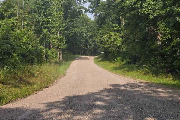
Fork Ridge Road
This is an easy gravel two land road with plenty of room for passing. There is a good size parking lot at the end for the Charit Creek Hiking Trailhead. No camping in the parking lot is allowed. This is a shared trail with horses, hikers, and bikers, so be respectful of other users. There is a restr...
Learn more about Fork Ridge Road
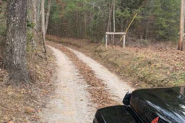
Bandy Creek Trek
This is a combination of dirt, gravel, and single-track in-the-woods roads. There really aren't a lot of difficult obstacles to make a note of other than a few areas that are washed out on Duncan Hollow Road. We had cell service off and on during this drive (Verizon). There weren't any great views a...
Learn more about Bandy Creek Trek
Beginner ATV trails near Russell Springs, Kentucky
Explore ATV-friendly trails near you. These trails are accessible for vehicles up to 50 inches wide, perfect for ATVs and smaller off-road machines.
Oil Center WMA Main Via Ringgold Road
Note that this trail is impassable during high pool seasons of Lake Cumberland, from around March to October. Exercise caution and observe the water level. This route provides access through one of four roads to the Lake Cumberland WMA at Oil Center. Please keep in mind that this area is maintained ...
Learn more about Oil Center WMA Main Via Ringgold Road
Waterfall Trail
This section of the trail takes you back to a scenic waterfall. The trail winds around a ridge with some tight turns but is not technical in nature. The waterfall is a cascade type that you can climb and is a great place to take photos or eat a light lunch.
Learn more about Waterfall Trail
River Beach Access
The trail follows along the edge of a field before dropping down by the water's edge. You may encounter a few small mud holes on your way. The beach is rocky and big enough to fit several vehicles. There are optional steep climbs to return to the main trail if you want a challenge.
Learn more about River Beach Access
Bear Creek Falls (5138)
Access to a beautiful waterfall into the Rockcastle River. Characteristics of an old Forest Service Road. Large gravel, dirt, and shallow water crossings. Some washouts around one foot deep. Beautiful drive through a less-trafficked area of Daniel Boone National Forest. There is a possibility of dow...
Learn more about Bear Creek Falls (5138)
Beginner UTV/side-by-side trails near Russell Springs, Kentucky
Find UTV and side-by-side trails near you. These trails accommodate vehicles up to 60 inches wide, ideal for UTVs, side-by-sides, and wider off-road rigs.
Oil Center WMA Main Via Ringgold Road
Note that this trail is impassable during high pool seasons of Lake Cumberland, from around March to October. Exercise caution and observe the water level. This route provides access through one of four roads to the Lake Cumberland WMA at Oil Center. Please keep in mind that this area is maintained ...
Learn more about Oil Center WMA Main Via Ringgold Road
Waterfall Trail
This section of the trail takes you back to a scenic waterfall. The trail winds around a ridge with some tight turns but is not technical in nature. The waterfall is a cascade type that you can climb and is a great place to take photos or eat a light lunch.
Learn more about Waterfall Trail
River Beach Access
The trail follows along the edge of a field before dropping down by the water's edge. You may encounter a few small mud holes on your way. The beach is rocky and big enough to fit several vehicles. There are optional steep climbs to return to the main trail if you want a challenge.
Learn more about River Beach Access
Bear Creek Falls (5138)
Access to a beautiful waterfall into the Rockcastle River. Characteristics of an old Forest Service Road. Large gravel, dirt, and shallow water crossings. Some washouts around one foot deep. Beautiful drive through a less-trafficked area of Daniel Boone National Forest. There is a possibility of dow...
Learn more about Bear Creek Falls (5138)
The onX Offroad Difference
onX Offroad combines trail photos, descriptions, difficulty ratings, width restrictions, seasonality, and more in a user-friendly interface. Available on all devices, with offline access and full compatibility with CarPlay and Android Auto. Discover what you're missing today!
Open Trail Map