
Beginner Off-Road Trails
Near Powhatan, Arkansas
Explore All Beginner Trails Near Powhatan, Arkansas
Beginner Off-Road Trails Near Powhatan, Arkansas
Discover the best beginner-friendly off-road trails near you. These easier, lower-rated trails are a great place to start — browse trail maps, check difficulty ratings, and find your next adventure.
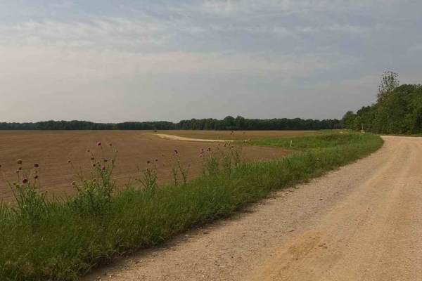
Thistle Bottoms
Thistle Bottoms is a group of Lawrence County Roads (301, 303, 309, and 317) that when joined together give a great context to the low-laying bottoms along the stretch of the Black River that exists between Lake Charles State Park and the Shirley Bay Rainey Brake Wildlife Management Area. When drivi...
Learn more about Thistle Bottoms
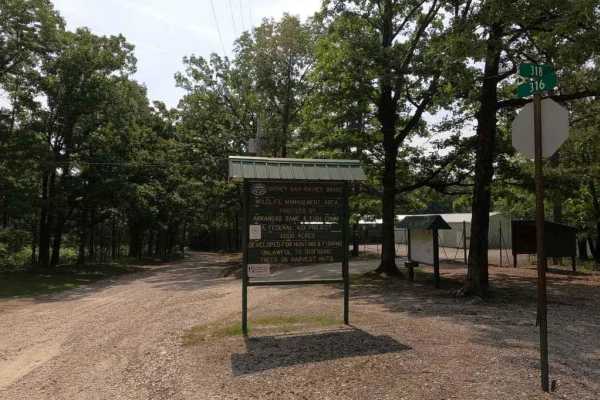
Rainey Brake WMA Road
The Rainey Brake WMA Road, or Lawrence Road 316, is a road through the western side of the Shirley Bay Rainey Brake Wildlife Management Area. The road is a casual gravel ride down to and through the swampy lowlands west of the Black River and the bottoms that surround it. The road is generally flat ...
Learn more about Rainey Brake WMA Road
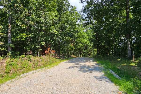
Camp Roy - FSR 3208
This trail begins as a well-maintained gravel surface forest service road. It continues as such for approximately half the distance of the trail up until you reach a large open grass area. This area is large enough for several vehicles to park at once and would make a great campsite. This area can b...
Learn more about Camp Roy - FSR 3208
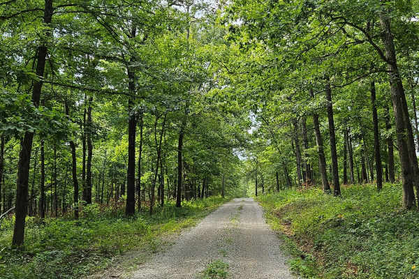
Wolf Mountain - FSR 3213
FSR 3213 can be accessed from either end, running from U.S. Route 160 to MO V. This well-maintained gravel forest service road is suitable for most vehicles. As it winds up Wolf Mountain, you'll enjoy beautiful views of the Mark Twain National Forest. Upon reaching the summit of Wolf Mountain, at 92...
Learn more about Wolf Mountain - FSR 3213
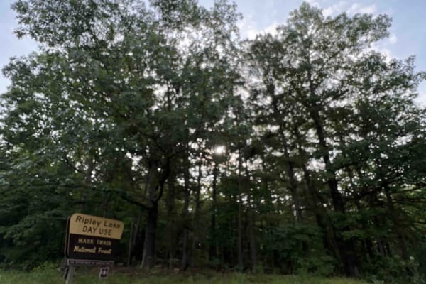
Ripley Lake 3240
Ripley Lake 3240 is a short easy well maintained gravel road to Ripley Lake which is a 20 acre 12 foot deep lake. There you can find picnic areas with barbeque pits and boat docks for fishing. Anglers will need a fishing permit from the Missouri Department of Conservation. The only downside is ther...
Learn more about Ripley Lake 3240
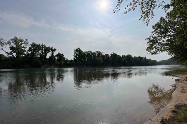
Compton 3144
Compton 3144 is nestled in the beautiful and scenic Mark Twain National Forest located just west of Doniphan, Missouri. Compton 3144 is not advised for low clearance vehicles due to a water crossing right near the end of the trail. It's also really steep at the end and curves through the forest with...
Learn more about Compton 3144
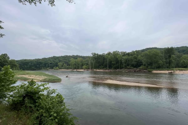
Gooseneck 3412
Gooseneck 3412 is a beautiful scenic drive along an easy gravel road that is well-maintained through the Mark Twain National Forest. This route is situated just southwest of Grandin, Missouri on the Current River in the Ozark National Scenic Riverway. This route leads to the Gooseneck Campground whe...
Learn more about Gooseneck 3412
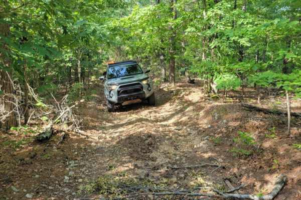
Cave Spoon
The Cave Spoon runs North to South through Mark Twain National Forest in Missouri. This trail offers dispersed campsites if chosen with creativity. There are plenty of pull-off locations in case of traffic. Fallen trees blocking the trail are likely, as well as pinstripes. This forest has spotty ser...
Learn more about Cave Spoon
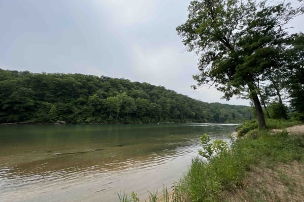
Bay Nothing Recreation Area 3140
Forest Road 3140 starts at an elevation of 748 feet and then drops to an elevation of 381 feet at the river. This route is an easy gravel road that curves through the Mark Twain National Forest which is located in Missouri. 3140 ends at the Current River which is a part of the Ozark National Scenic ...
Learn more about Bay Nothing Recreation Area 3140
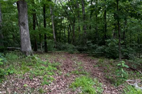
Hillside Climb
A challenging hillside climb featuring small obstacles, muddy terrain, and tight technical sections that test balance, control, and traction. Riders navigate uneven paths, slippery conditions, and narrow turns while maintaining momentum through the course. Ideal for off-road enthusiasts seeking a co...
Learn more about Hillside Climb
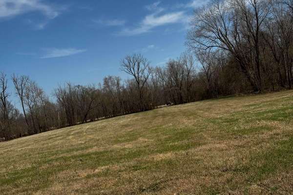
Camp Loop 7
Camp Loop 7 takes you around one of the largest camp areas in the park, also one of the flattest for loading and unloading. Large rigs and trailers are advised to use this space. Be mindful of others in the area. This is a first-come, first-served area that can be very busy.
Learn more about Camp Loop 7
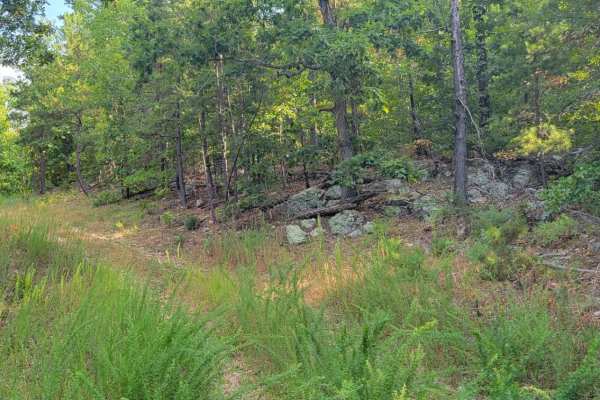
Overgrowth Spur
The Overgrowth Spur runs North to South through Mark Twain National Forest in Missouri. This trail offers dispersed campsites if chosen with creativity. There are plenty of pull-off locations in case of traffic. Fallen trees blocking the trail are likely. This forest has spotty service, so be sure t...
Learn more about Overgrowth Spur
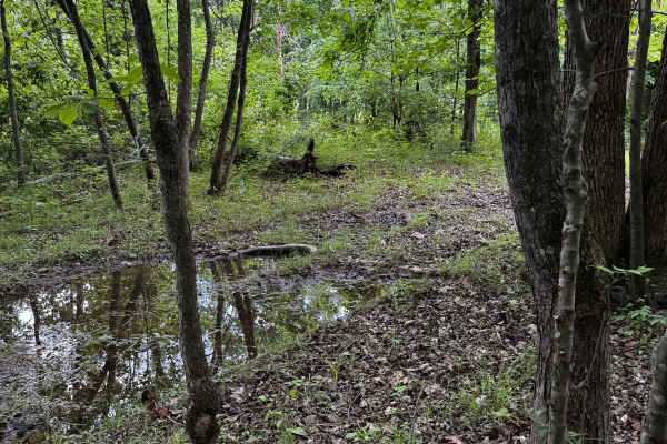
Hillside Trail
A muddy trail featuring steep hills, slick terrain, and a few narrow sections that require careful footing and steady control. The route offers a challenging yet rewarding experience for riders, especially after rain, with technical spots that add excitement and demand attention throughout the more ...
Learn more about Hillside Trail
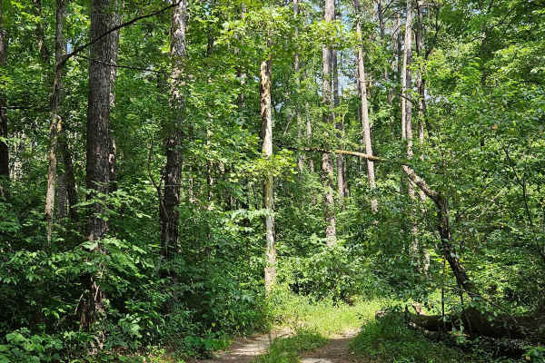
Boom Hole Access - FSR 3155B
After passing through the McCormack Lake Picnic Area, continue onto Forest Service Road 3155B. This trail winds through the forest until it reaches the Eleven Point River. Starting as a well-maintained forest service road, it later transitions into a gravel/dirt surface. Midway, the trail narrows an...
Learn more about Boom Hole Access - FSR 3155B
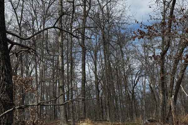
Hillside Track 2
Hillside Track 2 is a moderate cut through from the main loop to the hillside camp loop 7 trail, not a very long or difficult loop, can be tight for larger rigs. Makes getting off and on the trail easy, and also used for emergencies to reach the hillside back track.ff
Learn more about Hillside Track 2
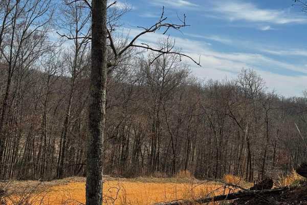
Hillside Track 3
Hillside Track 3 is a moderate cut through from the main loop to the hillside camp loop 7 trail, not a very long or difficult loop, can be tight for larger rigs. Makes getting off and on the trail easy, and also used for emergencies to reach the hillside back track.
Learn more about Hillside Track 3
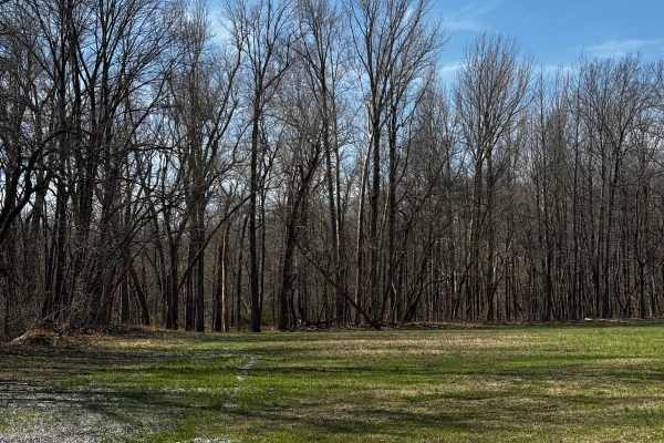
Camp Loop 4
Camp Loop 4 is another dedicated space for large groups and trailers to camp or set up for the day allowing for easy access in and out of the main areas of the park. Please be mindful of other campers and do your part in keeping the camp area clean for yourself and others.
Learn more about Camp Loop 4
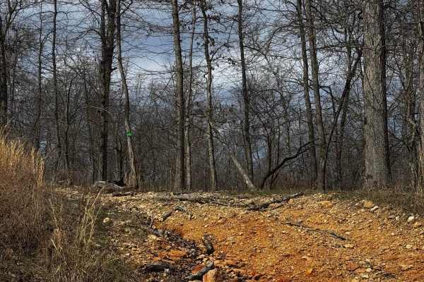
Hillside Trail 4
One of the 4 "main" trails in the hillside portion of the park, this trail isn't very long but does feature a mild ascent/descent challenge with a few tighter spots, but still manageable by full-size rigs. Tread lightly in this area; it can be busy, and two-way traffic can happen.
Learn more about Hillside Trail 4
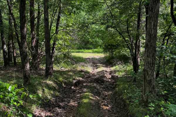
Landing Strip
As the name suggests, this straightaway is filled with nasty dug-out ruts that will challenge most 4x4s with a mix of mud and dirt. The trail branches off the main loop, cuts into the tree line, and has an exit at either end, taking you back out to the main track.
Learn more about Landing Strip
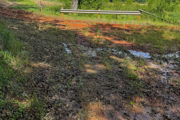
Red Clay Cut Thru
This cut-through is a fun, murky little track right off the main trail. It’s quick and easy, but a fun way to bypass the busy spectator areas along the main trail. It’s located in a pretty busy part of the park, so be mindful of big trucks and people who may be in the area during large events.
Learn more about Red Clay Cut Thru
Beginner ATV trails near Powhatan, Arkansas
Explore ATV-friendly trails near you. These trails are accessible for vehicles up to 50 inches wide, perfect for ATVs and smaller off-road machines.
Camp Roy - FSR 3208
This trail begins as a well-maintained gravel surface forest service road. It continues as such for approximately half the distance of the trail up until you reach a large open grass area. This area is large enough for several vehicles to park at once and would make a great campsite. This area can b...
Learn more about Camp Roy - FSR 3208
Wolf Mountain - FSR 3213
FSR 3213 can be accessed from either end, running from U.S. Route 160 to MO V. This well-maintained gravel forest service road is suitable for most vehicles. As it winds up Wolf Mountain, you'll enjoy beautiful views of the Mark Twain National Forest. Upon reaching the summit of Wolf Mountain, at 92...
Learn more about Wolf Mountain - FSR 3213
Ripley Lake 3240
Ripley Lake 3240 is a short easy well maintained gravel road to Ripley Lake which is a 20 acre 12 foot deep lake. There you can find picnic areas with barbeque pits and boat docks for fishing. Anglers will need a fishing permit from the Missouri Department of Conservation. The only downside is ther...
Learn more about Ripley Lake 3240
Compton 3144
Compton 3144 is nestled in the beautiful and scenic Mark Twain National Forest located just west of Doniphan, Missouri. Compton 3144 is not advised for low clearance vehicles due to a water crossing right near the end of the trail. It's also really steep at the end and curves through the forest with...
Learn more about Compton 3144
Beginner UTV/side-by-side trails near Powhatan, Arkansas
Find UTV and side-by-side trails near you. These trails accommodate vehicles up to 60 inches wide, ideal for UTVs, side-by-sides, and wider off-road rigs.
Camp Roy - FSR 3208
This trail begins as a well-maintained gravel surface forest service road. It continues as such for approximately half the distance of the trail up until you reach a large open grass area. This area is large enough for several vehicles to park at once and would make a great campsite. This area can b...
Learn more about Camp Roy - FSR 3208
Wolf Mountain - FSR 3213
FSR 3213 can be accessed from either end, running from U.S. Route 160 to MO V. This well-maintained gravel forest service road is suitable for most vehicles. As it winds up Wolf Mountain, you'll enjoy beautiful views of the Mark Twain National Forest. Upon reaching the summit of Wolf Mountain, at 92...
Learn more about Wolf Mountain - FSR 3213
Ripley Lake 3240
Ripley Lake 3240 is a short easy well maintained gravel road to Ripley Lake which is a 20 acre 12 foot deep lake. There you can find picnic areas with barbeque pits and boat docks for fishing. Anglers will need a fishing permit from the Missouri Department of Conservation. The only downside is ther...
Learn more about Ripley Lake 3240
Compton 3144
Compton 3144 is nestled in the beautiful and scenic Mark Twain National Forest located just west of Doniphan, Missouri. Compton 3144 is not advised for low clearance vehicles due to a water crossing right near the end of the trail. It's also really steep at the end and curves through the forest with...
Learn more about Compton 3144
The onX Offroad Difference
onX Offroad combines trail photos, descriptions, difficulty ratings, width restrictions, seasonality, and more in a user-friendly interface. Available on all devices, with offline access and full compatibility with CarPlay and Android Auto. Discover what you're missing today!
Open Trail Map