
Beginner Off-Road Trails
Near Phillipsville, California
Explore All Beginner Trails Near Phillipsville, California
Beginner Off-Road Trails Near Phillipsville, California
Discover the best beginner-friendly off-road trails near you. These easier, lower-rated trails are a great place to start — browse trail maps, check difficulty ratings, and find your next adventure.
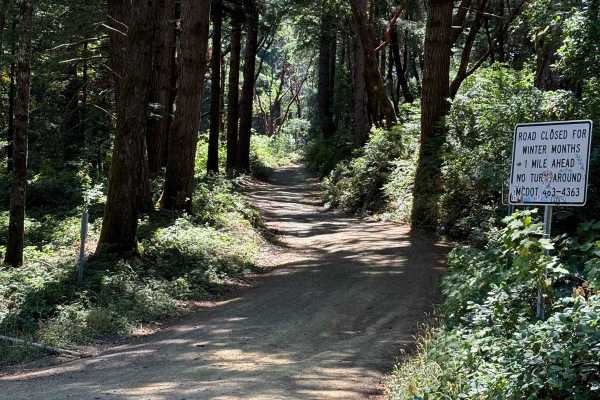
Usal Road (Northern Portion)
As you enter from this northern part of the trail, you'll be surrounded by trees covered in moss, beautiful views of the ocean peaking in through the trees, and well-grated gravel. There are parts of the trail that are narrow with some wash-out sections and some drop-off sections on the west side of...
Learn more about Usal Road (Northern Portion)
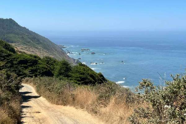
Usal Road (Southern Portion)
This is a steep one-lane dirt road that is not very heavily used and is reasonably well maintained by the county. On about sixty percent of the trail, two rigs can slowly and carefully pass by each other, thirty percent will require one of the two rigs to move out of the way and the rest will requir...
Learn more about Usal Road (Southern Portion)
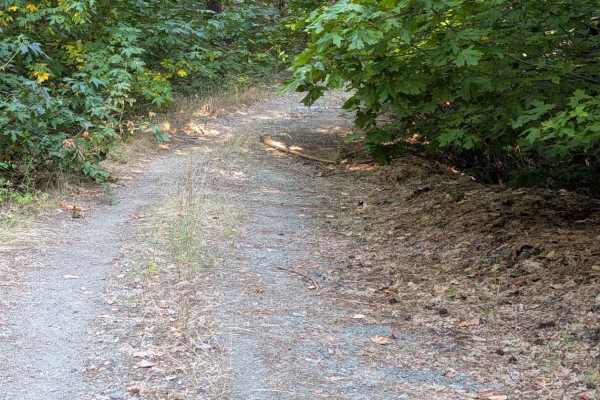
Creek Road - FS 29N57
This single-lane dirt road starts from Red Mountain Motorway - FS 9N73. It is blocked by several downed trees just shy of 4 miles in. The road surface has some exposed embedded rocks and loose rocks up to a foot high. The road is wide enough to meet another vehicle safely for most of its length, but...
Learn more about Creek Road - FS 29N57
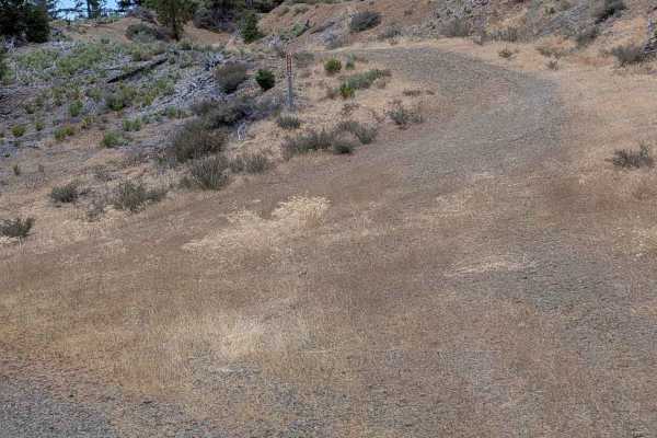
Blue Point Ridge Road - FS 30N28
This single-lane gravel road begins from Red Mountain Motorway - FS 29N73 and connects to Dubakella Mountain Road - FS 30N27. It is wide enough to meet another vehicle safely for much of its length, but some sections are too narrow for that. It is also overgrown in a few places. There are areas of ...
Learn more about Blue Point Ridge Road - FS 30N28
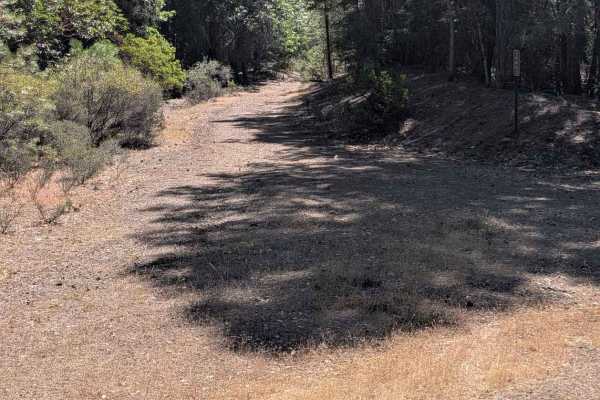
West Duba Road - FS 30N53
This single-lane dirt road starts at Bramlet Rd - FS 30N29 and ends at Blue Point Ridge Road - FS 30N28. It has some erosion damage that is less than a foot deep and exposed embedded rocks or loose rocks up to six inches tall. There are places wide enough to meet another vehicle safely, but much of ...
Learn more about West Duba Road - FS 30N53
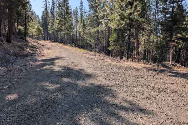
North Fork Smokey Creek Road - FS 29N48
This gravel road begins from Smokey Road - FS 29N76 and connects through to the Red Mountain Motorway - FS 29N73. It is 1 to 1.5 lanes wide, with room to meet another vehicle safely. It has several water bars and a couple of them are a little abrupt. The road surface is otherwise in good condition. ...
Learn more about North Fork Smokey Creek Road - FS 29N48
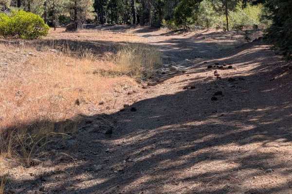
Dubit Kelly Road - FS 29N55
This single-lane dirt road starts from Red Mountain Motorway - FS 29N73 and connects through to Dubakella Mountain Road - FS 30N27. The road surface varies from dirt to gravel and larger loose rock. There are sections with erosion damage and ruts around a foot deep, along with exposed embedded rock...
Learn more about Dubit Kelly Road - FS 29N55
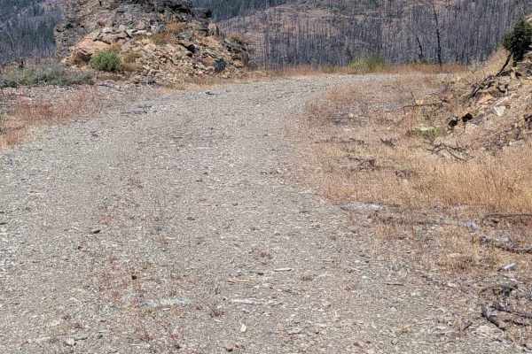
Smoky Road - FS 29N76
This single-lane gravel road begins from Upper Smoky Road - FS 29N75. It travels through a burned area with many standing live trees, ending at the Seven Up Cedars Road - FS 29N59. The road has some erosion damage, along with exposed embedded rocks and loose rocks up to six inches high. The road is ...
Learn more about Smoky Road - FS 29N76
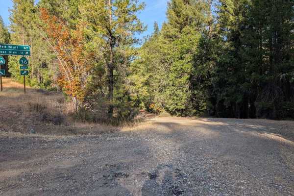
Plummer Gulch Road - FS 30N36
This single lane dirt road connects from Post Mountain Rd to Highway 3 next to its intersection with Highway 36. It has sections of ruts and erosion damage up to a foot deep, along with exposed embedded rocks and loose rocks up to a foot high. The road is wide enough to meet another vehicle safely f...
Learn more about Plummer Gulch Road - FS 30N36
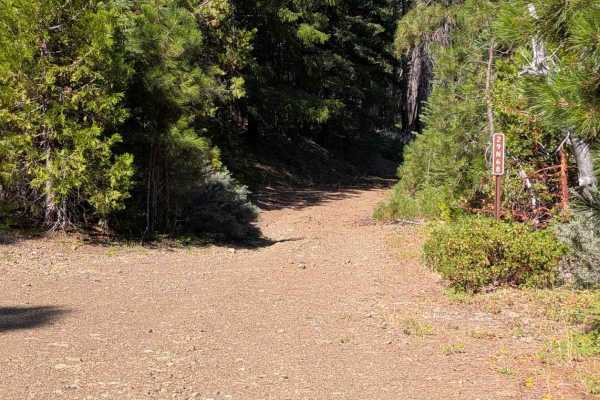
West Dubakella Road - FS 29N68
This single-lane gravel road connects Blue Point Ridge Road - 30N28 and Bramlet Road - FS 30N29. The road is wide enough to meet another vehicle safely for most of its length, but there are some sections too narrow for that. The road varies from dirt to gravel to loose rocks, and does have some ero...
Learn more about West Dubakella Road - FS 29N68
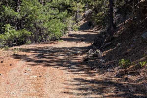
Smokey Creek Road - FS 29N49
This natural surface road has quite a bit of dirt along the way, with sections that are gravel or rocky. On the south end, it starts from Bramlet - FS 29N30 road and ends at Upper Smokey - FS 29N75. The road has some erosion damage up to a foot deep, along with exposed embedded rocks and loose rocks...
Learn more about Smokey Creek Road - FS 29N49
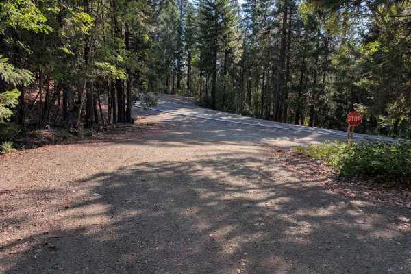
Dubak Tie Road - FS 30N18
This single-lane road is primarily dirt with some sections of gravel. It begins at an intersection with Dubakella Mountain Road - FS 30N27 and Ditch Gulch Road - FS 30N46. Most of the road surface is in good condition, but there are some sections with ruts and erosion damage up to a foot deep. There...
Learn more about Dubak Tie Road - FS 30N18
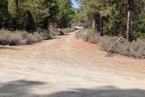
Ditch Gulch Road - FS 30N46
This single-lane gravel road connects from Bramlet Road - FS 30N29 near Highway 36 to Dubakella Mountain Road - FS 30N27. It is wide enough to meet another vehicle safely for most of its length. There are a few narrower sections. The road goes through an old burned area. It is mostly in good condit...
Learn more about Ditch Gulch Road - FS 30N46
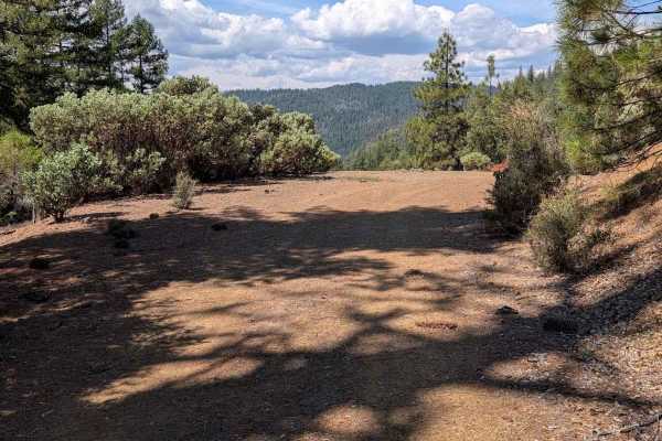
Blue Gulch Road - FS 30N25
This single-lane gravel road connects from Hwy 3 to Hwy 36. The road surface is mostly smooth and in good condition. The road travels through a mixed forest with significant undergrowth. It has some minor erosion damage around six inches deep and some gentle water bars. There are some sections of sh...
Learn more about Blue Gulch Road - FS 30N25
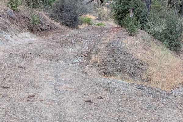
Green Gulch Road - FS 30N74
This single lane dirt road begins from Rattlesnake Road, with significant erosion damage evident right from the start. It ends at the Plummer Gulch Road - FS 30N36. The ruts and erosion damage get around a foot deep, and there are exposed embedded rocks around a foot high. There are places to meet a...
Learn more about Green Gulch Road - FS 30N74
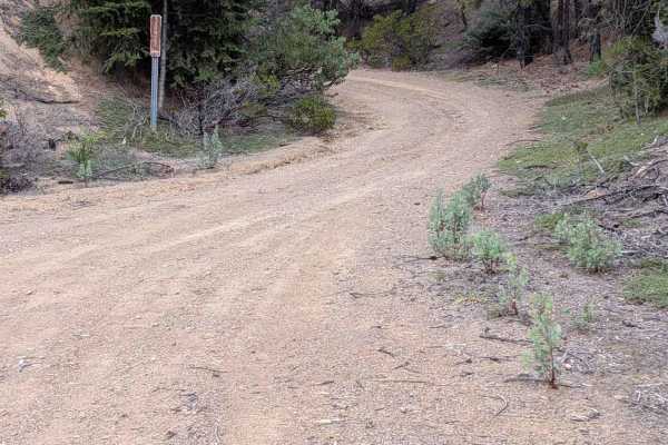
Dubakella Mountain Road - FS 30N27
This single-lane gravel road begins at Dubakella Creek Road - FS 29N31 and connects back to Hwy 36. It travels through both mixed forest and open areas in an old burn. Most of the road surface is in good condition, but there are areas with ruts and erosion damage up to a foot deep. There are also se...
Learn more about Dubakella Mountain Road - FS 30N27
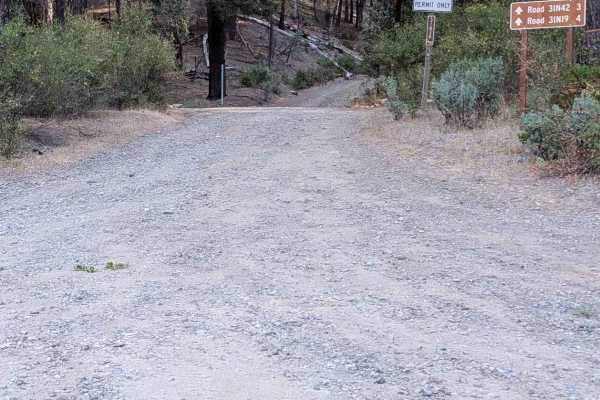
Goods Gulch Road - FS 31N38
This single lane natural surface road is mostly dirt, but also has some areas of gravel. It begins at Hwy 3 and connects through to East Kingsbury Road - FA 1N42. It has some ruts and erosion damage up to a foot deep, along with exposed embedded rocks and loose rocks up to a foot high. The road is w...
Learn more about Goods Gulch Road - FS 31N38
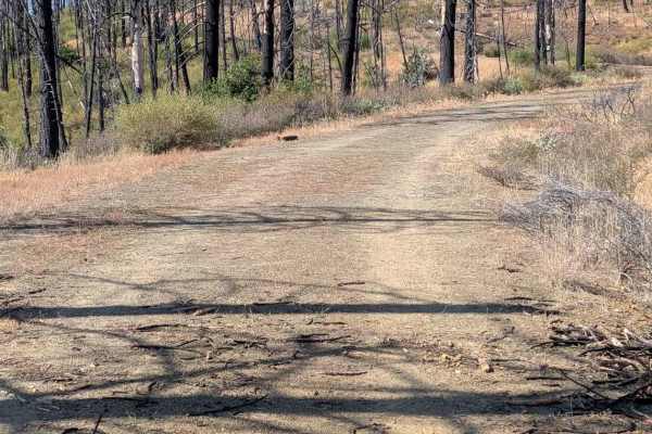
Panther Ridge Road - FS 29N33
This road starts out as a generous single-lane gravel road from Dubakella - FS 29N32 near Wild Mad Road- FS 29N30 paved road. The trail gets narrower in places and widens back out closer to its end at the Wild Mad Road- FS 29N30 road further south. The road has quite a few water bars, with some of t...
Learn more about Panther Ridge Road - FS 29N33
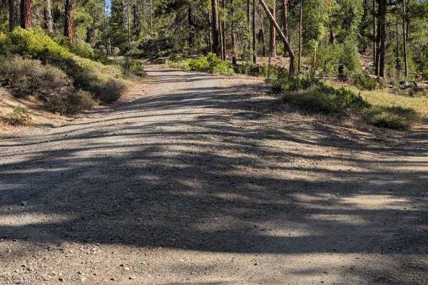
East Kingsbury Road - FS 31N42
This single lane gravel road begins Bridge Gulch Road - FS 31N19 and ends at a generous turn around. There are a couple of side road options to connect through to other roads to make a loop if desired. It has some areas of erosion damage up to a foot deep, along with exposed embedded rocks and loos...
Learn more about East Kingsbury Road - FS 31N42
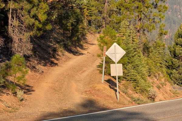
Dubakella Creek Road - FS 29N31
This single-lane gravel road begins from Highway 36 and ends at Panther Ridge Road - FS 29N33. There is room to meet another vehicle safely for most of its length, although there are some narrow sections. The road surface varies from smooth gravel to sections of natural surface with erosion damage u...
Learn more about Dubakella Creek Road - FS 29N31
Beginner ATV trails near Phillipsville, California
Explore ATV-friendly trails near you. These trails are accessible for vehicles up to 50 inches wide, perfect for ATVs and smaller off-road machines.
Creek Road - FS 29N57
This single-lane dirt road starts from Red Mountain Motorway - FS 9N73. It is blocked by several downed trees just shy of 4 miles in. The road surface has some exposed embedded rocks and loose rocks up to a foot high. The road is wide enough to meet another vehicle safely for most of its length, but...
Learn more about Creek Road - FS 29N57
Blue Point Ridge Road - FS 30N28
This single-lane gravel road begins from Red Mountain Motorway - FS 29N73 and connects to Dubakella Mountain Road - FS 30N27. It is wide enough to meet another vehicle safely for much of its length, but some sections are too narrow for that. It is also overgrown in a few places. There are areas of ...
Learn more about Blue Point Ridge Road - FS 30N28
West Duba Road - FS 30N53
This single-lane dirt road starts at Bramlet Rd - FS 30N29 and ends at Blue Point Ridge Road - FS 30N28. It has some erosion damage that is less than a foot deep and exposed embedded rocks or loose rocks up to six inches tall. There are places wide enough to meet another vehicle safely, but much of ...
Learn more about West Duba Road - FS 30N53
North Fork Smokey Creek Road - FS 29N48
This gravel road begins from Smokey Road - FS 29N76 and connects through to the Red Mountain Motorway - FS 29N73. It is 1 to 1.5 lanes wide, with room to meet another vehicle safely. It has several water bars and a couple of them are a little abrupt. The road surface is otherwise in good condition. ...
Learn more about North Fork Smokey Creek Road - FS 29N48
Beginner UTV/side-by-side trails near Phillipsville, California
Find UTV and side-by-side trails near you. These trails accommodate vehicles up to 60 inches wide, ideal for UTVs, side-by-sides, and wider off-road rigs.
Creek Road - FS 29N57
This single-lane dirt road starts from Red Mountain Motorway - FS 9N73. It is blocked by several downed trees just shy of 4 miles in. The road surface has some exposed embedded rocks and loose rocks up to a foot high. The road is wide enough to meet another vehicle safely for most of its length, but...
Learn more about Creek Road - FS 29N57
Blue Point Ridge Road - FS 30N28
This single-lane gravel road begins from Red Mountain Motorway - FS 29N73 and connects to Dubakella Mountain Road - FS 30N27. It is wide enough to meet another vehicle safely for much of its length, but some sections are too narrow for that. It is also overgrown in a few places. There are areas of ...
Learn more about Blue Point Ridge Road - FS 30N28
West Duba Road - FS 30N53
This single-lane dirt road starts at Bramlet Rd - FS 30N29 and ends at Blue Point Ridge Road - FS 30N28. It has some erosion damage that is less than a foot deep and exposed embedded rocks or loose rocks up to six inches tall. There are places wide enough to meet another vehicle safely, but much of ...
Learn more about West Duba Road - FS 30N53
North Fork Smokey Creek Road - FS 29N48
This gravel road begins from Smokey Road - FS 29N76 and connects through to the Red Mountain Motorway - FS 29N73. It is 1 to 1.5 lanes wide, with room to meet another vehicle safely. It has several water bars and a couple of them are a little abrupt. The road surface is otherwise in good condition. ...
Learn more about North Fork Smokey Creek Road - FS 29N48
The onX Offroad Difference
onX Offroad combines trail photos, descriptions, difficulty ratings, width restrictions, seasonality, and more in a user-friendly interface. Available on all devices, with offline access and full compatibility with CarPlay and Android Auto. Discover what you're missing today!
Open Trail Map