
Beginner Off-Road Trails
Near Perrytown, Arkansas
Explore All Beginner Trails Near Perrytown, Arkansas
Beginner Off-Road Trails Near Perrytown, Arkansas
Discover the best beginner-friendly off-road trails near you. These easier, lower-rated trails are a great place to start — browse trail maps, check difficulty ratings, and find your next adventure.
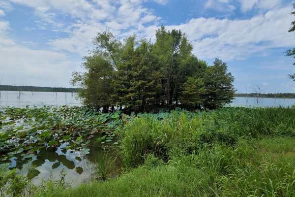
To Bois d'Arc Lake Finger Point Landing
This track takes you to Finger Point Landing on Bois d'Arc Lake in Arkansas. This 13,626-acre area is composed of 5,866 acres of state-owned land and 7,760 acres leased from International Paper and Potlatch timber companies. The primary objective of this management area is to provide high-quality wi...
Learn more about To Bois d'Arc Lake Finger Point Landing
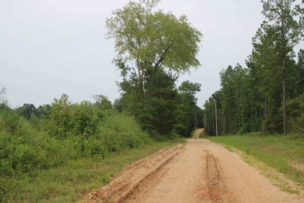
Hempstead 307 Road
This maintained gravel road runs between Hempstead 14 Road and Highway 278. This forest area is on the eastern side of Rick Evans Grandview Prairie. Private land is on both sides of this county road. Beautiful views and wildlife can be seen in this area. Be aware of hunting seasons while in this are...
Learn more about Hempstead 307 Road
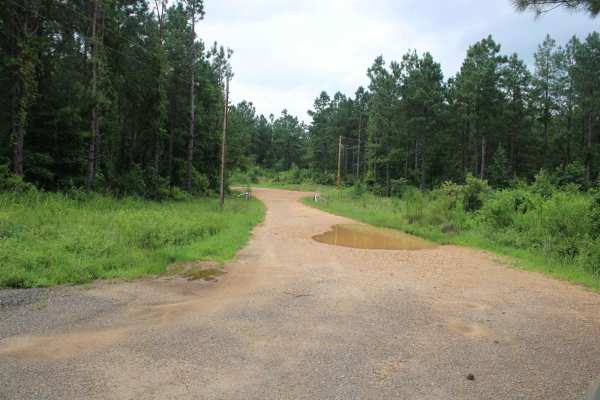
Potlatch Forest
The majority of these county roads are no longer maintained. The old gravel roads have a lot of sand and dirt in them now. Some areas are overgrown with limbs and trees over the road. There are some water crossing dependent on rain. These roads run between Nevada 23 Road and Highway 299. This land i...
Learn more about Potlatch Forest
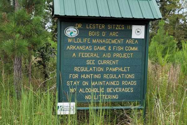
Bois D'Ark WMA from HWY 67
This 13,626-acre area is composed of 5,866 acres of state-owned land and 7,760 acres leased from International Paper and Potlatch timber companies.The primary objective of this management area is to provide high-quality wildlife habitat and public hunting opportunities. Bois d' Arc Lake provides ex...
Learn more about Bois D'Ark WMA from HWY 67

Dr. Lester Sitzes III Bois D'Arc WMA
This 13,626-acre area is composed of 5,866 acres of state-owned land and 7,760 acres leased from International Paper and Potlatch timber companies.The primary objective of this management area is to provide high-quality wildlife habitat and public hunting opportunities. Bois d' Arc Lake provides ex...
Learn more about Dr. Lester Sitzes III Bois D'Arc WMA
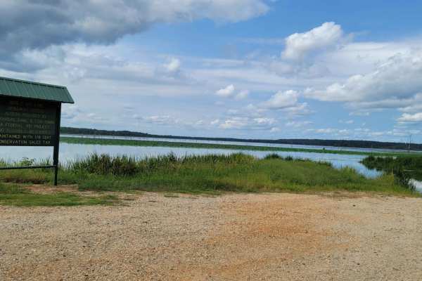
Bois d'Ark Arkansas Spillway & Dam
This 13,626-acre area is composed of 5,866 acres of state-owned land and 7,760 acres leased from International Paper and Potlatch timber companies.The primary objective of this management area is to provide high-quality wildlife habitat and public hunting opportunities. Bois d'Arc Lake provides exc...
Learn more about Bois d'Ark Arkansas Spillway & Dam
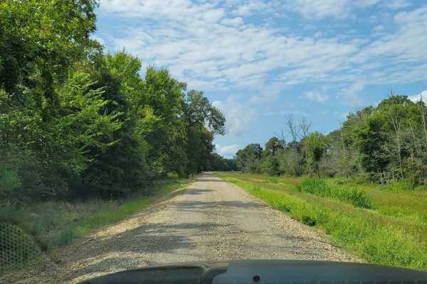
Tower Ends at Private Fishing Club
Tower Ends at Private Fishing Club is a 10.1-mile point-to-point gravel route near the Red River in southwest Arkansas. Suitable for beginners and high-clearance vehicles, this double-track road winds through flat agricultural fields and wooded lowlands. The route climbs gently from 231 feet to 403 ...
Learn more about Tower Ends at Private Fishing Club
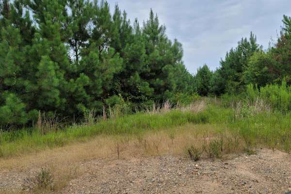
Bois d'Ark Trail back to Interstate 30
This 13,626-acre area is composed of 5,866 acres of state-owned land and 7,760 acres leased from International Paper and Potlatch timber companies.The primary objective of this management area is to provide high-quality wildlife habitat and public hunting opportunities. Bois d' Arc Lake provides ex...
Learn more about Bois d'Ark Trail back to Interstate 30
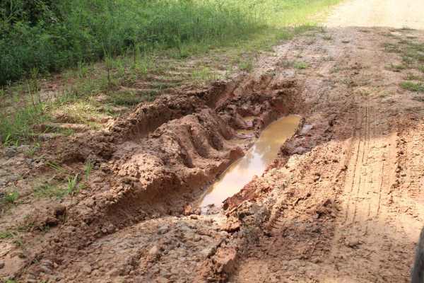
Little Bridge Creek to HWY 73
This dirt road can be muddy and rutted when wet. The South end is at a intersection ,that heading west, goes to Nacatoch Ravines Natural Area . The North end is at HWY 73 Intersection. Just across HWY 73 a road will go to Rick Evans Grandview Prairie. There is a old cemetery along this trail called ...
Learn more about Little Bridge Creek to HWY 73
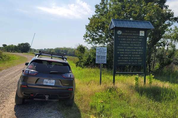
Rick Evans Grandview Prairie WMA Auto Route
Well maintained gravel roads travel through a beautiful landscape. The Grandview Prairie Auto Tour is a 10-mile route with 10 stops. Enjoy the drive along these gravel roads while learning about the area as you pass signs on the sides of the roads. Two small lakes are at the end of a couple of the r...
Learn more about Rick Evans Grandview Prairie WMA Auto Route
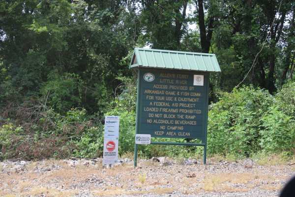
Allen's Ferry Road
This loose gravel road ends at the Little River. There is a boat ramp and dispersed camping on the riverside. Not far out of the small town of Fulton, Arkansas, this road provides beautiful views of the river, pasture, and plenty of livestock. This used to be a ferry site for Allen's Ferry. The Red...
Learn more about Allen's Ferry Road
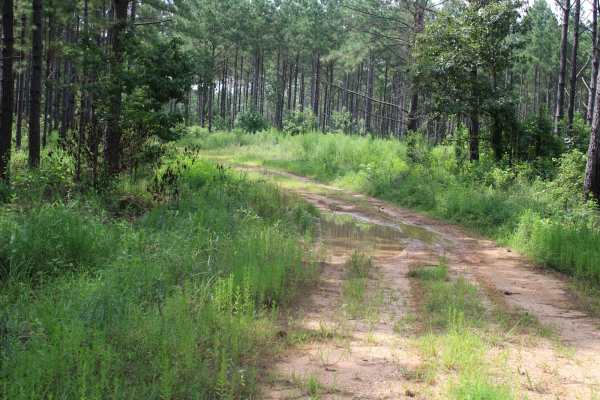
Hempstead Road 421
Nacatoch Ravines Natural Area protects a continuum of plant communities that occur along the transition from the upland blackland prairies to the low bottomlands along the Little River. It contains one of the largest, and most intact, examples of mesic (moderately moist), dry-mesic, and dry upland f...
Learn more about Hempstead Road 421
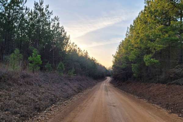
Country Route to White Oak Lake Group Campsite
This is a gravel and dirt road that leads to an awesome group campsite on White Oak Lake. A permit can be found online to camp in this free Poison Springs Forest. There are several campsites in this area. This particular campsite is on a hill right beside White Oak Lake. The later part of this route...
Learn more about Country Route to White Oak Lake Group Campsite

Poison Springs WMA - Campsite C-10 to C-29 and C-54
This dirt and gravel road takes you to dispersed campsites within the Poison Springs WMA area. Camping permits are required and are free at Poison Springs WMA website. Roads can be slick, and water crossing can be found after rains. Watch for wildlife to cross roads. There are creeks in the area.
Learn more about Poison Springs WMA - Campsite C-10 to C-29 and C-54
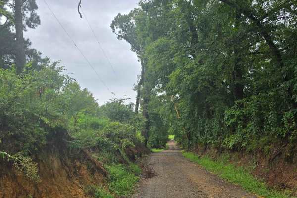
Highway 355 To Nacatoch Ravines
Gravel road through farmland. One end is at Highway 355 and the other is at Nacatoch Ravines where you can continue to Columbus. There are no gates. This will join up with a trail that continues to Columbus. Expect muddy roads if wet. This trail can be dusty when dry.
Learn more about Highway 355 To Nacatoch Ravines
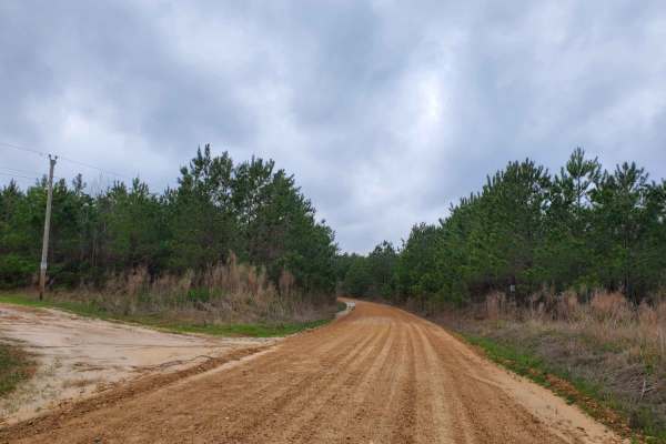
Highway 24 to Poison Springs WMA
This is a dirt and gravel road south of Highway 24. This road goes into the Poison Spring WMA. A camping permit is required and is free at the Poison Springs WMA website. This road can be slippery when wet. Some mild water crossings can be present during and after rains. Watch for wildlife crossing ...
Learn more about Highway 24 to Poison Springs WMA
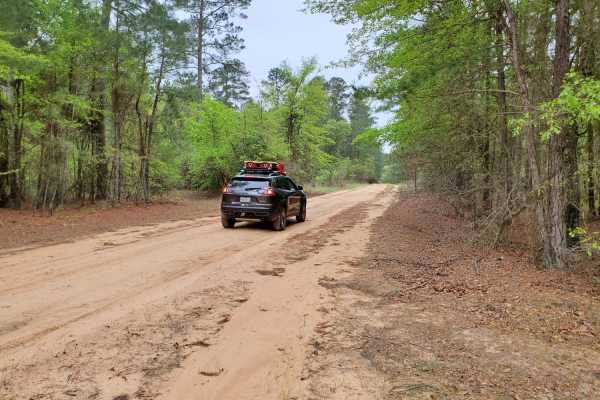
Primitive Camp and Shooting Range in Poison Springs WMA
White Oak State Park is a great place to stay while you explore the Poison Springs WMA. If you want full hookups and restrooms while you camp. While at White Oak State Park, ask the visitor center for a map to "The Little Grand Canyon." A must-see while in the area. You are close to the state park h...
Learn more about Primitive Camp and Shooting Range in Poison Springs WMA
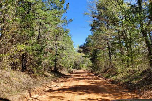
The Arkansas Overland Route - Section 2 - Highway 371 to Road 113
The Arkansas Overland Route - Section 2 - Highway 371 to Road 113 is an easy-going, scenic dirt and gravel track designed for overland enthusiasts, beginners, and families looking to explore the rolling, forested terrain of southern Arkansas. Serving as a crucial 16.9-mile continuation of the Falcon...
Learn more about The Arkansas Overland Route - Section 2 - Highway 371 to Road 113
The Arkansas Overland Route - Section 1 - Falcon Bottoms Back Roads
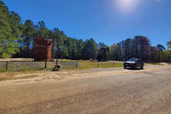
The Arkansas Overland Route - Section 1 - Falcon Bottoms Back Roads is designed for overland beginners and scenic travelers looking for an easy, low-dust gateway into southern Arkansas's expansive backcountry. Starting off Highway 82 east of Texarkana, this 18-mile point-to-point track heads north a...
Learn more about The Arkansas Overland Route - Section 1 - Falcon Bottoms Back Roads
The Arkansas Overland Route - Section 4 - Poison Springs WMA and Purifoy Cemetery
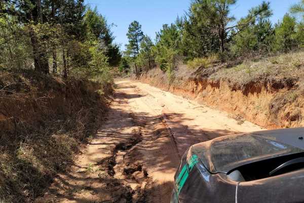
This trail is gravel and dirt that can be sloppy during or after rains. There is a small section is pavement before turning to go to Purifoy Cemetery. Some areas you might want to avoid during or right after rains. Primitive camping sites can be found along parts of these roads. For camping, get a f...
Learn more about The Arkansas Overland Route - Section 4 - Poison Springs WMA and Purifoy Cemetery
Beginner ATV trails near Perrytown, Arkansas
Explore ATV-friendly trails near you. These trails are accessible for vehicles up to 50 inches wide, perfect for ATVs and smaller off-road machines.
Country Route to White Oak Lake Group Campsite
This is a gravel and dirt road that leads to an awesome group campsite on White Oak Lake. A permit can be found online to camp in this free Poison Springs Forest. There are several campsites in this area. This particular campsite is on a hill right beside White Oak Lake. The later part of this route...
Learn more about Country Route to White Oak Lake Group Campsite
313 Road
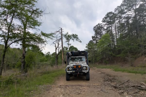
This trail offers a pleasant drive that begins in a healthy, mature forest and gradually climbs into areas of newer forest growth. The route is winding and includes several gentle ascents and descents, with patches of loose gravel that may require careful driving in places. After an intersection, th...
Learn more about 313 Road
31867
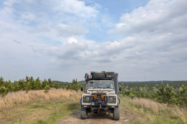
This trail is a scenic dual track that winds through forested terrain and features occasional rocky sections, gentle ascents, and descents. It passes through areas of logged forest and requires multiple stream crossings without bridges, which can become hazardous during or after heavy rain. A single...
Learn more about 31867
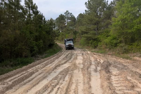
31860
This trail begins as a smooth and enjoyable dual track that winds through a peaceful section of forest, offering a scenic and relaxing drive. However, the surroundings quickly change upon entering a logged area, where heavy machinery has left deep mud ruts that can become especially challenging to n...
Learn more about 31860
Beginner UTV/side-by-side trails near Perrytown, Arkansas
Find UTV and side-by-side trails near you. These trails accommodate vehicles up to 60 inches wide, ideal for UTVs, side-by-sides, and wider off-road rigs.
Country Route to White Oak Lake Group Campsite
This is a gravel and dirt road that leads to an awesome group campsite on White Oak Lake. A permit can be found online to camp in this free Poison Springs Forest. There are several campsites in this area. This particular campsite is on a hill right beside White Oak Lake. The later part of this route...
Learn more about Country Route to White Oak Lake Group Campsite
313 Road
This trail offers a pleasant drive that begins in a healthy, mature forest and gradually climbs into areas of newer forest growth. The route is winding and includes several gentle ascents and descents, with patches of loose gravel that may require careful driving in places. After an intersection, th...
Learn more about 313 Road
31867
This trail is a scenic dual track that winds through forested terrain and features occasional rocky sections, gentle ascents, and descents. It passes through areas of logged forest and requires multiple stream crossings without bridges, which can become hazardous during or after heavy rain. A single...
Learn more about 31867
31860
This trail begins as a smooth and enjoyable dual track that winds through a peaceful section of forest, offering a scenic and relaxing drive. However, the surroundings quickly change upon entering a logged area, where heavy machinery has left deep mud ruts that can become especially challenging to n...
Learn more about 31860
The onX Offroad Difference
onX Offroad combines trail photos, descriptions, difficulty ratings, width restrictions, seasonality, and more in a user-friendly interface. Available on all devices, with offline access and full compatibility with CarPlay and Android Auto. Discover what you're missing today!
Open Trail Map