
Beginner Off-Road Trails
Near Payne Gap, Kentucky
Explore All Beginner Trails Near Payne Gap, Kentucky
Beginner Off-Road Trails Near Payne Gap, Kentucky
Discover the best beginner-friendly off-road trails near you. These easier, lower-rated trails are a great place to start — browse trail maps, check difficulty ratings, and find your next adventure.
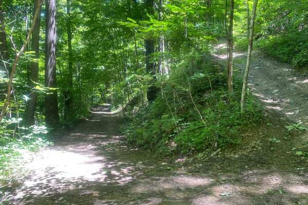
Trail 1
This is the main trail from the parking behind Fishpond Lake. It connects all other trails currently in the marked system. The trail is mostly dirt; expect a lot of standing water even in the summer, occasional tight switchbacks, and short climbs. This trail leads to Trail 6 which eventually wraps b...
Learn more about Trail 1
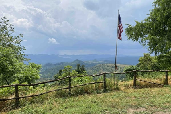
Trail 25
This is a connector trail from Main 23 to Laura's Lookout and beyond. It has a hard base with numerous shallow water holes. It's wide enough for most vehicles, including some full-size vehicles. This short route leads to one of the most scenic overlooks on a Kentucky OHV trail and there's a picnic t...
Learn more about Trail 25
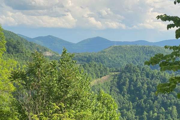
Trail 23 - Flatwoods Road
Trail 23 is the main artery for the Dorton/Flatwoods Area of the new Pike County Hillbilly Trails System. Trail 23 is a wide, graded dirt and gravel access road for an array of utilities and other infrastructure located on Caney Mountain. This trail can be driven with basic 4x4 and street tires when...
Learn more about Trail 23 - Flatwoods Road
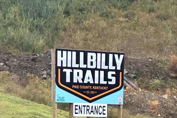
23 Main Loop
Trail 23 is the Main Loop around and through the Hillbilly Trails Offroad Park. Connect this section with Trail 23- Flatwoods Road to make a complete loop. This is the easiest of the trails and will be the thoroughfare for finding most all the other trails in the park. This trail is roughly just ove...
Learn more about 23 Main Loop
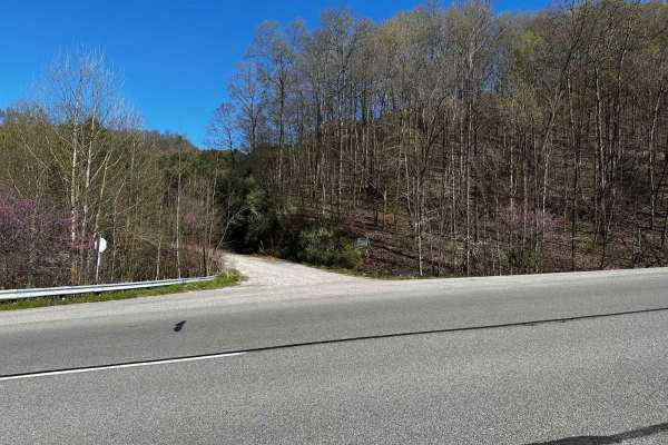
Flat Fork
This is the alternate entrance to Hillbilly Trails of Pike County. It's a gravel road that leads to Trail 23 of Hillbilly Trails. Once you get to the top there are a lot of trails that is developed and many more to develop. There's plenty of primitive camping available with nearly 6,000 acres in the...
Learn more about Flat Fork
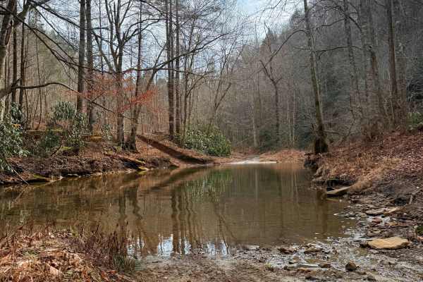
Caney Creek
This trail is a point-to-point route that begins as a two-track gravel road following Caney Creek. Expect multiple water crossings; depending on recent rainfall, these can range from A foot deep to completely impassable. The initial stretch features several pull-offs offering stunning views of tower...
Learn more about Caney Creek
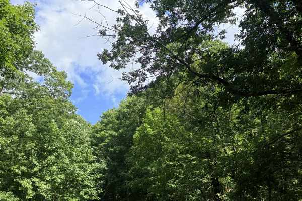
Mountain Fork Road
Mountain Fork Road is a simple two-track gravel forest service road that almost any standard SUV can navigate without issues. The route takes you on a scenic ride through the mountains, dropping down toward a small, peaceful creek. As you drive, the trail snakes in and out of the dense tree lines, a...
Learn more about Mountain Fork Road
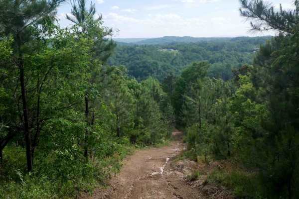
RV26
RV 26 is a short connector between segments of RV40 in the Ridgeview trail system, offering an easy dirt surface with a semi-steep slope. Light ruts are present, but the trail is easy overall. When descending, riders are rewarded with a scenic view overlooking the surrounding mountains, making it a ...
Learn more about RV26
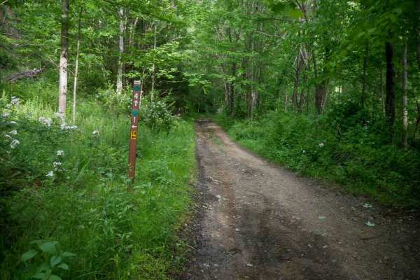
MV4
MV4 is a nearly 3-mile-long trail running through the center of the Mountain View trail system. It is a wide, easy route with scattered loose and embedded rocks, along with occasional mud puddles. The terrain is mostly flat with gradual elevation changes. MV4 begins at MV1, passes the more difficult...
Learn more about MV4
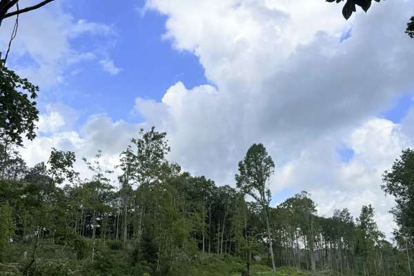
Powell Mountain
This route starts as a steep climb if you're coming in from the Big Cherry side, and winds up through a small mountain community. As you continue to gain elevation, this route opens up and offers beautiful mountain views and the surrounding valleys below. This route is a 2-track gravel forest servic...
Learn more about Powell Mountain
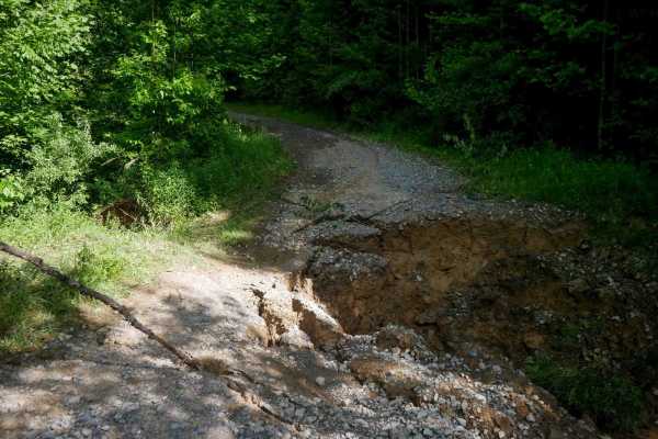
RV1
RV1 is a 12-mile main access route through the Ridgeview trail system, suitable for all skill levels. The trail features mostly easy, gradual grades with narrow ridgeline sections, shelf-like paths, small loose rocks, ruts, debris, and some slick spots. The northern end is the steepest part of the t...
Learn more about RV1
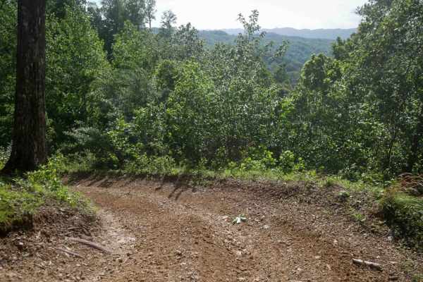
RV24
RV 24 is a very short, 100-foot long connector between segments of RV40 in the Ridgeview trail system. It features a semi-steep climb from north to south over smooth dirt with light ruts. The trail presents no significant obstacles and is easy to navigate. It allows you to bail out early from the lo...
Learn more about RV24
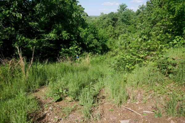
RV22
RV 22 is a short, 120-yard connector trail between segments of RV40 in the Ridgeview trail system. It is a grassy and overgrown shelf cut into the hillside and appears to see very little traffic. While easy overall, its narrow width and lack of recent use may require cautious navigation.
Learn more about RV22
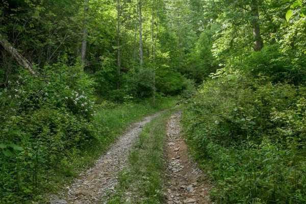
MV21
MV21 is a short, easy spur trail off MV8 that connects the Mountain View system to State Route 650. Less than half a mile long, the trail follows a wide path with a couple of gradual switchbacks along a shelf cut into the hillside. Expect small loose rock but no significant obstacles. This is an alt...
Learn more about MV21

Big Cherry Reservoir
Big Cherry Reservoir Trail, a rugged 2-track gravel route that climbs toward a stunning reward. This trail winds steeply up the mountain, offering a mix of dense forest cover and scenic views before opening up to a breathtaking, 250-acre mountain lake. It is an ideal route for someone looking for a ...
Learn more about Big Cherry Reservoir
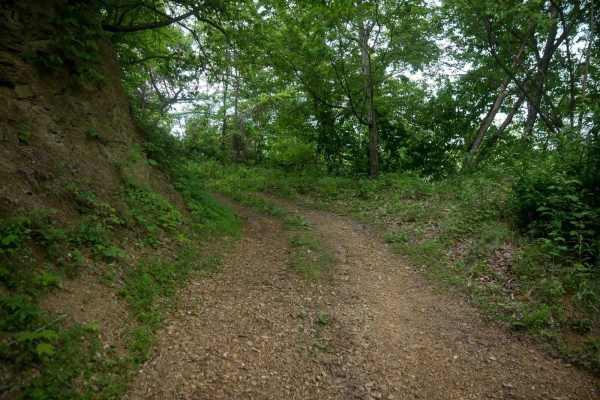
MV14
MV14 is an easy trail that follows a wide shelf path along the edge of a hill through dense Appalachian forest. The terrain includes roots, decomposing soil, and leaf decay, with occasional muddy ruts and puddles but no significant obstacles. The trail passes alongside scenic tall rock walls and end...
Learn more about MV14
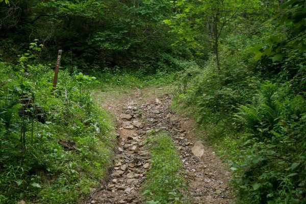
MV75
MV75 is a 0.8-mile easy trail that forms a loop with MV78. It features a wide, shelfy path with consistent mud and ruts, along with a few minor rocky sections that add some variety. The terrain is mostly smooth and manageable, making it suitable for drivers of most skill levels, although it is surro...
Learn more about MV75
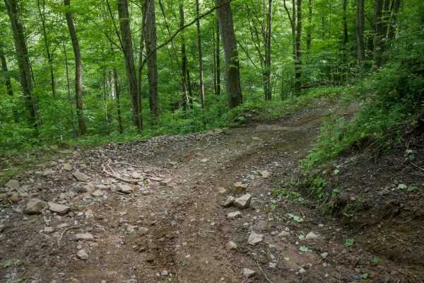
MV8
MV8 is a 1.4-mile trail that makes a loop with MV7 and offers a moderately easy route through dense forest. The trail features muddy ruts, semi-steep climbs, and shelfy sections cut into the hillside, with some flat embedded rock layers adding variety to the surface. Scenic and typical of the area, ...
Learn more about MV8

MV6
MV6 is a 1.1-mile trail with a wide path and generally easy terrain, making it a good option for beginners. The trail features small embedded and loose rocks, muddy patches, and uneven ground, but maintains gradual grades and broad sweeping corners throughout. It's located near MV5 and MV22, which c...
Learn more about MV6
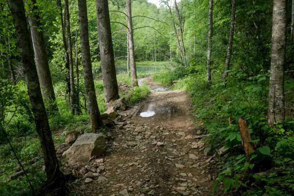
MV7
MV7 is a short, half-mile trail that makes a loop with MV8 and includes a mix of scenic features and moderately easy terrain. Drivers will encounter steeper grades and numerous large loose rocks, along with a shallow and easy stream crossing. The trail passes beside a picturesque blue-green pond and...
Learn more about MV7
Beginner ATV trails near Payne Gap, Kentucky
Explore ATV-friendly trails near you. These trails are accessible for vehicles up to 50 inches wide, perfect for ATVs and smaller off-road machines.
Trail 1
This is the main trail from the parking behind Fishpond Lake. It connects all other trails currently in the marked system. The trail is mostly dirt; expect a lot of standing water even in the summer, occasional tight switchbacks, and short climbs. This trail leads to Trail 6 which eventually wraps b...
Learn more about Trail 1
Trail 25
This is a connector trail from Main 23 to Laura's Lookout and beyond. It has a hard base with numerous shallow water holes. It's wide enough for most vehicles, including some full-size vehicles. This short route leads to one of the most scenic overlooks on a Kentucky OHV trail and there's a picnic t...
Learn more about Trail 25
Trail 23 - Flatwoods Road
Trail 23 is the main artery for the Dorton/Flatwoods Area of the new Pike County Hillbilly Trails System. Trail 23 is a wide, graded dirt and gravel access road for an array of utilities and other infrastructure located on Caney Mountain. This trail can be driven with basic 4x4 and street tires when...
Learn more about Trail 23 - Flatwoods Road
23 Main Loop
Trail 23 is the Main Loop around and through the Hillbilly Trails Offroad Park. Connect this section with Trail 23- Flatwoods Road to make a complete loop. This is the easiest of the trails and will be the thoroughfare for finding most all the other trails in the park. This trail is roughly just ove...
Learn more about 23 Main Loop
Beginner UTV/side-by-side trails near Payne Gap, Kentucky
Find UTV and side-by-side trails near you. These trails accommodate vehicles up to 60 inches wide, ideal for UTVs, side-by-sides, and wider off-road rigs.
Trail 1
This is the main trail from the parking behind Fishpond Lake. It connects all other trails currently in the marked system. The trail is mostly dirt; expect a lot of standing water even in the summer, occasional tight switchbacks, and short climbs. This trail leads to Trail 6 which eventually wraps b...
Learn more about Trail 1
Trail 25
This is a connector trail from Main 23 to Laura's Lookout and beyond. It has a hard base with numerous shallow water holes. It's wide enough for most vehicles, including some full-size vehicles. This short route leads to one of the most scenic overlooks on a Kentucky OHV trail and there's a picnic t...
Learn more about Trail 25
Trail 23 - Flatwoods Road
Trail 23 is the main artery for the Dorton/Flatwoods Area of the new Pike County Hillbilly Trails System. Trail 23 is a wide, graded dirt and gravel access road for an array of utilities and other infrastructure located on Caney Mountain. This trail can be driven with basic 4x4 and street tires when...
Learn more about Trail 23 - Flatwoods Road
23 Main Loop
Trail 23 is the Main Loop around and through the Hillbilly Trails Offroad Park. Connect this section with Trail 23- Flatwoods Road to make a complete loop. This is the easiest of the trails and will be the thoroughfare for finding most all the other trails in the park. This trail is roughly just ove...
Learn more about 23 Main Loop
The onX Offroad Difference
onX Offroad combines trail photos, descriptions, difficulty ratings, width restrictions, seasonality, and more in a user-friendly interface. Available on all devices, with offline access and full compatibility with CarPlay and Android Auto. Discover what you're missing today!
Open Trail Map