
Beginner Off-Road Trails
Near Paincourtville, Louisiana
Explore All Beginner Trails Near Paincourtville, Louisiana
Beginner Off-Road Trails Near Paincourtville, Louisiana
Discover the best beginner-friendly off-road trails near you. These easier, lower-rated trails are a great place to start — browse trail maps, check difficulty ratings, and find your next adventure.
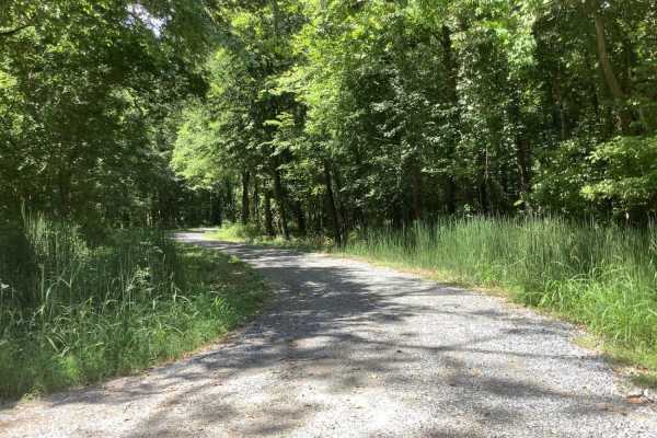
Sherburne Wildlife Management Area (WMA) Trail
The Sherburne Wildlife Management Area (WMA) Trail offers an easy, scenic 19.7-mile drive perfect for families, beginners, and outdoor enthusiasts looking to explore Louisiana's unique bayou landscape. Running along the eastern bank of the Atchafalaya River and the western boundary of the Sherburne ...
Learn more about Sherburne Wildlife Management Area (WMA) Trail

Cat Island River Trail
This trail runs along the Mississippi River near the Cat Island National Wildlife Refuge. Depending on the time of year, higher river flood stages can make this trail inaccessible since it lies in a natural flood plain. During dryer periods, the trail is often covered with several inches of silt. Th...
Learn more about Cat Island River Trail
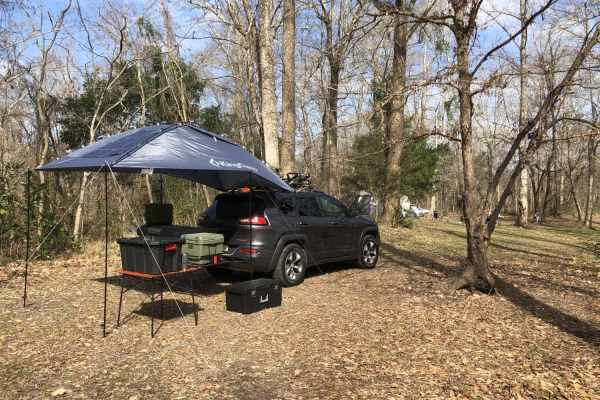
Tunica Hills WMA Trail 1
This trail route runs through the Tunica Hills Louisiana Wildlife Management Area. The route consists of gravel and dirt roads that are carved on the top of ridgelines that at times have 50- to 100-foot drop-offs as close as 5-10 feet from the main trail. The majority of the trail is covered by old-...
Learn more about Tunica Hills WMA Trail 1
Beginner ATV trails near Paincourtville, Louisiana
Explore ATV-friendly trails near you. These trails are accessible for vehicles up to 50 inches wide, perfect for ATVs and smaller off-road machines.
Cat Island River Trail
This trail runs along the Mississippi River near the Cat Island National Wildlife Refuge. Depending on the time of year, higher river flood stages can make this trail inaccessible since it lies in a natural flood plain. During dryer periods, the trail is often covered with several inches of silt. Th...
Learn more about Cat Island River Trail
Beginner UTV/side-by-side trails near Paincourtville, Louisiana
Find UTV and side-by-side trails near you. These trails accommodate vehicles up to 60 inches wide, ideal for UTVs, side-by-sides, and wider off-road rigs.
Sherburne Wildlife Management Area (WMA) Trail
The Sherburne Wildlife Management Area (WMA) Trail offers an easy, scenic 19.7-mile drive perfect for families, beginners, and outdoor enthusiasts looking to explore Louisiana's unique bayou landscape. Running along the eastern bank of the Atchafalaya River and the western boundary of the Sherburne ...
Learn more about Sherburne Wildlife Management Area (WMA) Trail
Cat Island River Trail
This trail runs along the Mississippi River near the Cat Island National Wildlife Refuge. Depending on the time of year, higher river flood stages can make this trail inaccessible since it lies in a natural flood plain. During dryer periods, the trail is often covered with several inches of silt. Th...
Learn more about Cat Island River Trail
The onX Offroad Difference
onX Offroad combines trail photos, descriptions, difficulty ratings, width restrictions, seasonality, and more in a user-friendly interface. Available on all devices, with offline access and full compatibility with CarPlay and Android Auto. Discover what you're missing today!
Open Trail Map