
Beginner Off-Road Trails
Near Ola, Arkansas
Explore All Beginner Trails Near Ola, Arkansas
Beginner Off-Road Trails Near Ola, Arkansas
Discover the best beginner-friendly off-road trails near you. These easier, lower-rated trails are a great place to start — browse trail maps, check difficulty ratings, and find your next adventure.
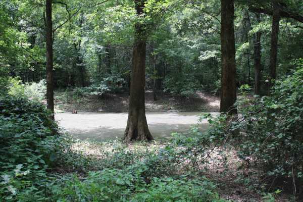
Cane Island
This gravel road enters The Petit Jean Wildlife Management Area from Highway 10. The WMA encompasses 15,502 acres approximately 12 miles south of Dardanelle. Petit Jean River Wildlife Management area is located about 8 miles north of Ola on Highway 7 North. The designated area can be accessed from s...
Learn more about Cane Island
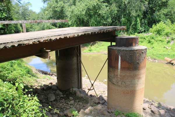
Petit Jean River Wildlife Mgmt Area
This gravel road leads to an old bridge, that has only a section left, on the Petit Jean River. This area is Petit Jean River Wildlife Management Area. This gravel road has several views of the Petit Jean River. A section of the bridge is still present on this side of the Petit Jean River. Standing ...
Learn more about Petit Jean River Wildlife Mgmt Area
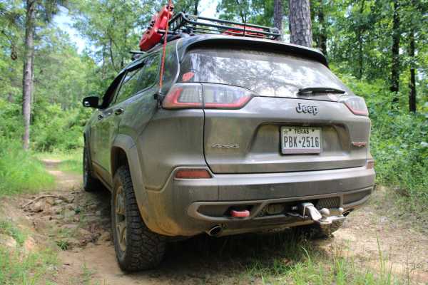
Danville Mountain
These forest roads consist of F63D, F64E, 658D, and 658 and exits at Growly Road. Some of these roads are narrow and overgrown. A few places will require a bit of ground clearance. Depending on vehicle width scratches are possible. Washouts and ruts will require choosing a line if ground clearance i...
Learn more about Danville Mountain
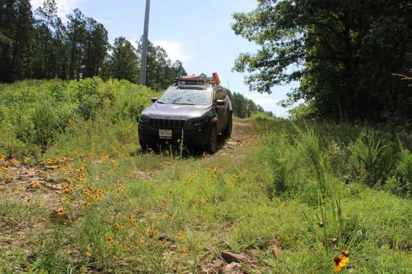
Power Line BUZZ
These short gravel roads lead to a power line right of way. This power line area has an open area that could be used for dispersed camping if you can deal with the BUZZ from the electric lines above. This road used to continue on to some camping spots, but after going under the power lines, it is bl...
Learn more about Power Line BUZZ
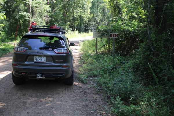
Kingston Road (156C)
East off Highway 27, starts Kingston Road (156c) that travels east to Peeler Gap Road (YE15). This gravel road winds through the beautiful Ouachita National Forest. During dry weather, the road can be dusty and it can be messy when wet. There can be water crossings during and after rain. Dispersed c...
Learn more about Kingston Road (156C)
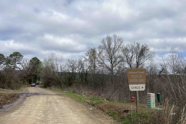
Peeler Gap Shooting Range
This road leads to a really nice shooting range with cell phone service, restrooms, and a nice-sized parking lot. Gravel road with larger-sized rocks in several areas. Low-clearance vehicles (cars) are not recommended. There are no camping areas along this road but there is a beautiful view at the n...
Learn more about Peeler Gap Shooting Range
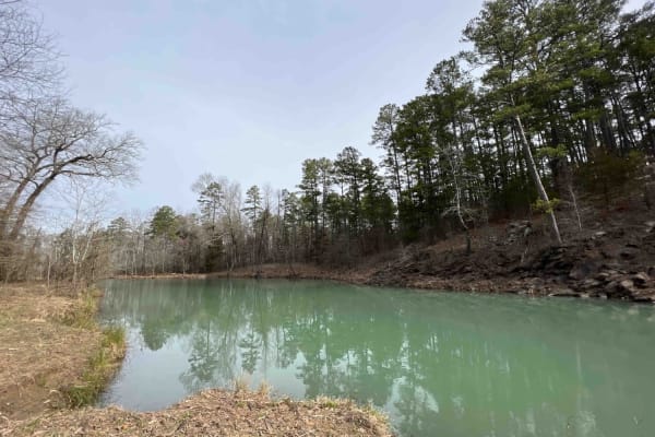
Long Hollow Road 146
This route showcases some of Arkansa's most beautiful scenery like the Hogan Creek Bridge which is a beautiful creek that is pretty deep. There are lots of campsites with beautiful views of the ridges of the Ouachita NF. There is a deer camp at the 2.6-mile marker that even had its own outhouse to ...
Learn more about Long Hollow Road 146
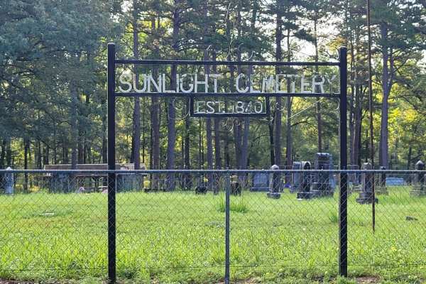
Sunlight Bay Road
This maintained gravel road leads to Sunlight Bay Campground and Cemetery. Wildlife can be spotted along this road. When wet, this road can be muddy, and when dusty, dry. Sunlight Bay Campground is a full service campground with water access. Sunlight Bay Campground sits along the shores of Nimrod L...
Learn more about Sunlight Bay Road
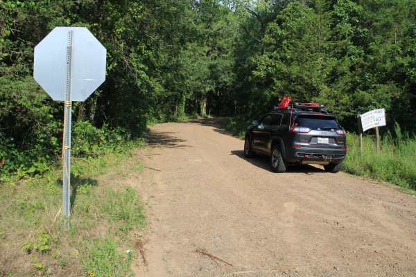
Dutch Mountain East
Starting from Highway 27 Peavine Road will lead to Dutch Mountain Road. At Dutch Mountain Road this trail continues west along Dutch Mountain in the Ouachita National Forest. These are natural surface roads consisting of some larger rocks, small rocks, and dirt. Some mud can be experienced depending...
Learn more about Dutch Mountain East
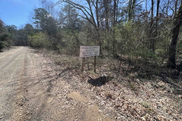
Boose Hollow 649
This road is mostly gravel but there are washed-out areas, uneven surfaces, larger rocks/boulders, several creek crossings of water that are at least a foot deep or more, and trees lying over the road. Several obstacles in the road, not suggested for tall 4x4 rigs. There are areas to pull off and ha...
Learn more about Boose Hollow 649
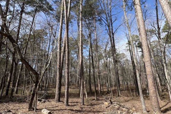
Big Cove Road 739
This is a great 4x4 road with lots of areas to pull off and hike down to Big Cove Creek which parallels this road. In the beginning, there is a cattle guard and a spot to air down right before that guard. It's mainly an old logging road, so there is plentiful firewood all along this route. There are...
Learn more about Big Cove Road 739
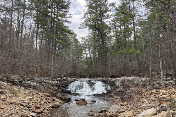
Main Mountain Road 83
Main Mountain Road features an easy gravel road with lots of campsites, views of the valley, small creeks, waterfalls, logging operations, and 4x4 trails to explore with quads and SxS. There is a hiking trail to Cove Mountain where there is also a campsite with a view. There are trees down all along...
Learn more about Main Mountain Road 83
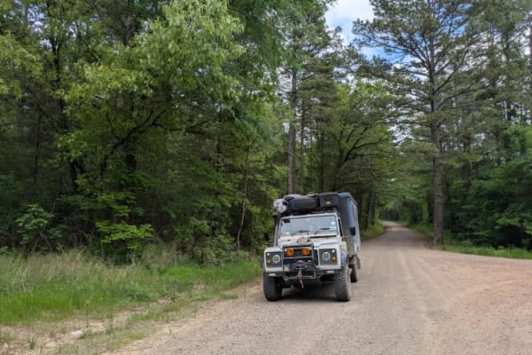
Slo Fork Road
Slo Fork is a well-maintained gravel road characterized by frequent corrugations and bumps, making cautious driving at lower speeds advisable. The route passes through picturesque landscapes dotted with private properties and rural farmsteads, offering scenic views of agricultural land before transi...
Learn more about Slo Fork Road
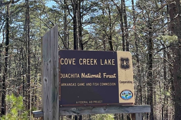
Cove Creek Lake/Link Mountain Road 210
This is an uneven, rocky, muddy road with several washouts and deep water areas when it's raining. This road may be impassable during heavy rains. Three campsites along this road are pretty nice. There is also a 4x4 trail that starts right after you cross the dam. There is a boat launch area at the ...
Learn more about Cove Creek Lake/Link Mountain Road 210
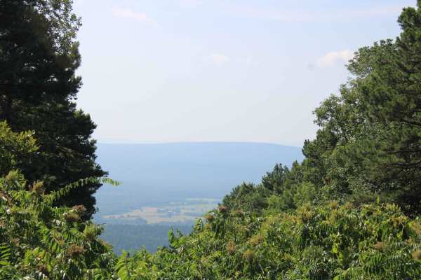
Dutch Creek Mountian to Towers
Dutch Creek Mountain Road (67) is a natural surface forest road that runs along Dutch Creek Mountain in the Ouachita National Forest. This road's natural surface has some larger rocks embedded in the surface, that make for a rough ride in areas. Some dirt areas can be muddy after rain. There can be...
Learn more about Dutch Creek Mountian to Towers
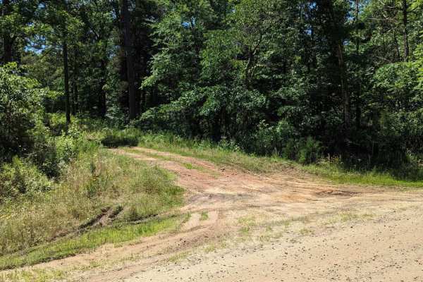
Chickalah Mountain East Trail
This is an easy trail through the pine forests on Chickalah Mountain. The trails are gravel roads with a few mud puddles and creek crossings. Most puddles have a hard bottom and all roads are passable in any vehicle you are willing to take off-road. One creek crossing could be deep if it has rained ...
Learn more about Chickalah Mountain East Trail
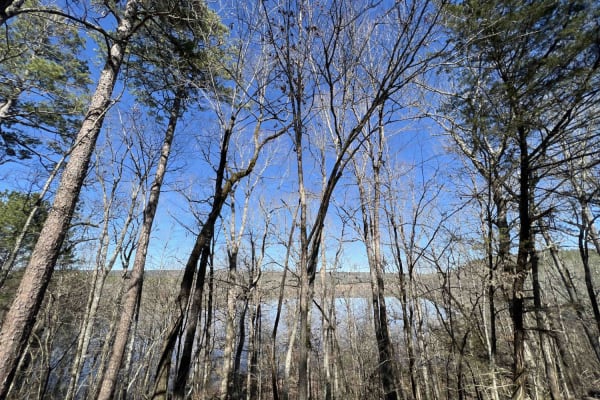
Hollis Trail 174
This route takes you mostly through privately owned property, however, the reward at the end is worth it all. It's a short 7-mile route to the South Fourche LaFave Watershed where there are trails that lead you down to the bank. Kayaking, canoes, and nonmotorized boats are allowed in this area. I de...
Learn more about Hollis Trail 174
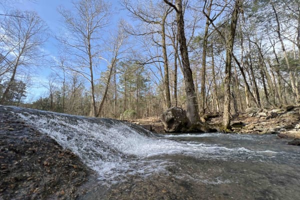
Barnhart Road 796
Most of the trails in the ONF are easy gravel roads, this one included. There isn't much elevation gain or descent on this trail. Even when it rains, the roads don't really get muddy, however, you may find mud puddles or potholes along this road. There are two water crossings, so a car isn't recomme...
Learn more about Barnhart Road 796
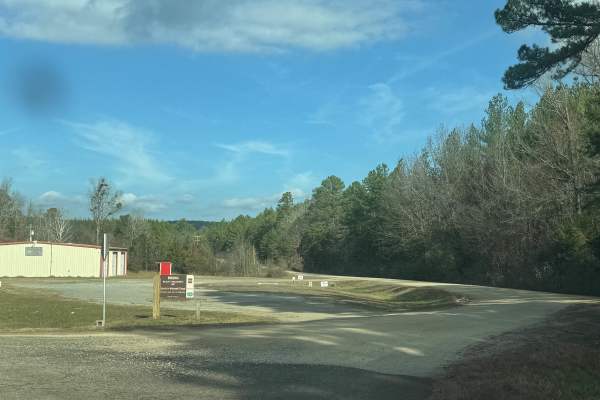
North Fork Road/Trail 86
North Fork Road is a beautiful gravel trail that winds through the Ouachita National Forest. This trail provides access to many of Arkansas' hidden outdoor attractions. This road is heavily trafficked and has a few blind curves. There are no technical sections along this trail, so no 4WD is necessar...
Learn more about North Fork Road/Trail 86
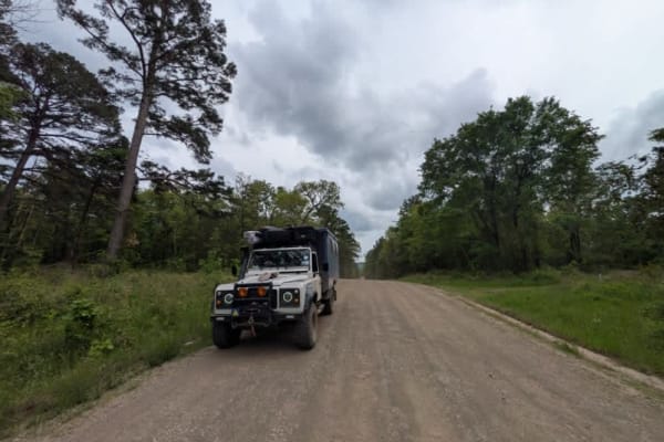
Harker Valley Road
Harker Valley is a wide gravel trail that offers a scenic drive through dense forest, but it is heavily rutted with deep potholes, often hidden in the shade. Drivers are advised to proceed slowly to protect their tires and suspension. Along the route are at least two established dispersed campsites ...
Learn more about Harker Valley Road
Beginner ATV trails near Ola, Arkansas
Explore ATV-friendly trails near you. These trails are accessible for vehicles up to 50 inches wide, perfect for ATVs and smaller off-road machines.
Danville Mountain
These forest roads consist of F63D, F64E, 658D, and 658 and exits at Growly Road. Some of these roads are narrow and overgrown. A few places will require a bit of ground clearance. Depending on vehicle width scratches are possible. Washouts and ruts will require choosing a line if ground clearance i...
Learn more about Danville Mountain
Power Line BUZZ
These short gravel roads lead to a power line right of way. This power line area has an open area that could be used for dispersed camping if you can deal with the BUZZ from the electric lines above. This road used to continue on to some camping spots, but after going under the power lines, it is bl...
Learn more about Power Line BUZZ
Kingston Road (156C)
East off Highway 27, starts Kingston Road (156c) that travels east to Peeler Gap Road (YE15). This gravel road winds through the beautiful Ouachita National Forest. During dry weather, the road can be dusty and it can be messy when wet. There can be water crossings during and after rain. Dispersed c...
Learn more about Kingston Road (156C)
Peeler Gap Shooting Range
This road leads to a really nice shooting range with cell phone service, restrooms, and a nice-sized parking lot. Gravel road with larger-sized rocks in several areas. Low-clearance vehicles (cars) are not recommended. There are no camping areas along this road but there is a beautiful view at the n...
Learn more about Peeler Gap Shooting Range
Beginner UTV/side-by-side trails near Ola, Arkansas
Find UTV and side-by-side trails near you. These trails accommodate vehicles up to 60 inches wide, ideal for UTVs, side-by-sides, and wider off-road rigs.
Danville Mountain
These forest roads consist of F63D, F64E, 658D, and 658 and exits at Growly Road. Some of these roads are narrow and overgrown. A few places will require a bit of ground clearance. Depending on vehicle width scratches are possible. Washouts and ruts will require choosing a line if ground clearance i...
Learn more about Danville Mountain
Power Line BUZZ
These short gravel roads lead to a power line right of way. This power line area has an open area that could be used for dispersed camping if you can deal with the BUZZ from the electric lines above. This road used to continue on to some camping spots, but after going under the power lines, it is bl...
Learn more about Power Line BUZZ
Kingston Road (156C)
East off Highway 27, starts Kingston Road (156c) that travels east to Peeler Gap Road (YE15). This gravel road winds through the beautiful Ouachita National Forest. During dry weather, the road can be dusty and it can be messy when wet. There can be water crossings during and after rain. Dispersed c...
Learn more about Kingston Road (156C)
Peeler Gap Shooting Range
This road leads to a really nice shooting range with cell phone service, restrooms, and a nice-sized parking lot. Gravel road with larger-sized rocks in several areas. Low-clearance vehicles (cars) are not recommended. There are no camping areas along this road but there is a beautiful view at the n...
Learn more about Peeler Gap Shooting Range
The onX Offroad Difference
onX Offroad combines trail photos, descriptions, difficulty ratings, width restrictions, seasonality, and more in a user-friendly interface. Available on all devices, with offline access and full compatibility with CarPlay and Android Auto. Discover what you're missing today!
Open Trail Map