
Beginner Off-Road Trails
Near McEwensville, Pennsylvania
Explore All Beginner Trails Near McEwensville, Pennsylvania
Beginner Off-Road Trails Near McEwensville, Pennsylvania
Discover the best beginner-friendly off-road trails near you. These easier, lower-rated trails are a great place to start — browse trail maps, check difficulty ratings, and find your next adventure.
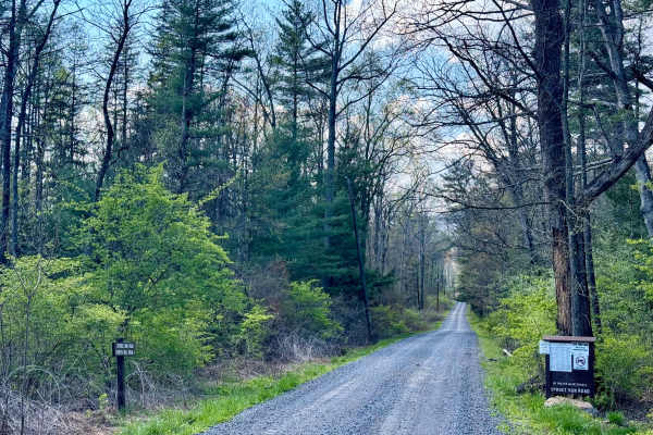
East Spruce Run Road
A standard Pennsylvania state forest road that offers entry to the east edge of the forest if coming from the Milton area, just south of Interstate 80. Spruce Run Road is paved outside the forest boundary, coming from the community and the local reservoir. This forest road begins shortly after that ...
Learn more about East Spruce Run Road
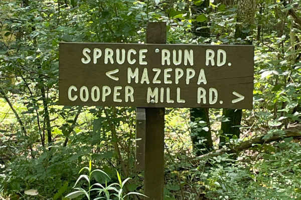
Spruce Run Road
This trail is located in the Bald Eagle State Forest. There is a tranquil brook flowing under a bridge. There are several hiking trails off this road and a rest area with a picnic table. This trail is an in-and-out trail that is easily drivable during summer, spring, and fall. Expect the difficulty ...
Learn more about Spruce Run Road
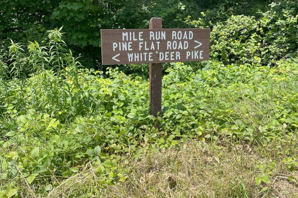
Mile Run Road
This trail is a graded gravel in-and-out type of trail located in Bald Eagle State Forest. It is a short drive and has a tranquil, flowing brook running alongside the trail. The trail is mostly a straight run with some subtle inclines. There are two hiking trails called Mile Run Trail and 5 Point Tr...
Learn more about Mile Run Road
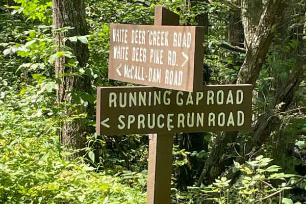
Running Gap Road
Running Gap Road is located in the Bald Eagle State Forest, and is a graded gravel road. There are two hiking trails off this road Top Mountain Trail and Nittany Mountain Trail. Easy drivability during Summer, Spring, Fall. Increased difficulties driving in snow and ice due to no Winter Maintenance....
Learn more about Running Gap Road
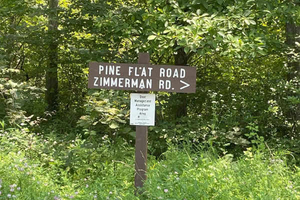
Pine Flat Road
This trail was an in-and-out type of trail, with graded gravel. It had subtle climbs, with most of the trail being a straight run. There was a beautiful Vista with a great lookout. Two hiking trails Kurtz Gap Trail and Spike Buck Trail. The trail has a spur trail called Red Tongue Tram. Pine Flat Ro...
Learn more about Pine Flat Road
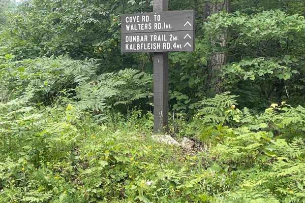
Cove Road
Cove Road is a scenic nicely graded gravel road. It is an easy ride in the summer months accessible by most vehicles, however there is no winter maintenance. During times of rain, snow, and ice the road will become harder to travel on. Van Dyke Road is within Tiadaghton State Forest.
Learn more about Cove Road
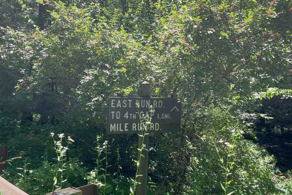
East Run Road
This trail is an in-and-out trail that has a graded gravel surface. It has a flowing Brook next to an area with a Picnic table and fire pit/grill. This trail intersects with Mohn Mill Road. It is close to a drivable trail called Red Tongue Trail that recommends 4-wheel drive vehicles. Trail can be d...
Learn more about East Run Road
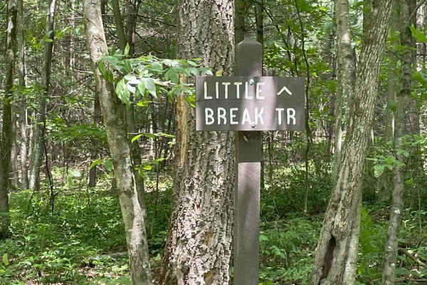
Third Gap Road
The Trail is part of a joining trail that connects Third Gap Road to Fourth Gap Road. It is graded gravel that is mostly a straight run. It has 2 hiking trails, Little Break Trail and Third Gap Trail, along its connection to Fourth Gap Road. The trail may become more difficult during the winter mont...
Learn more about Third Gap Road
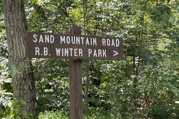
Sand Mountain Road
Sand Mountain Road is in Bald Eagle State Forest and is a graded gravel road. Several hiking trails branch off this road, and there is the Halfway Run Natural Area, with camping options available not far from the road. The road is easily drivable in Summer, Fall, and Spring; however, due to no winte...
Learn more about Sand Mountain Road
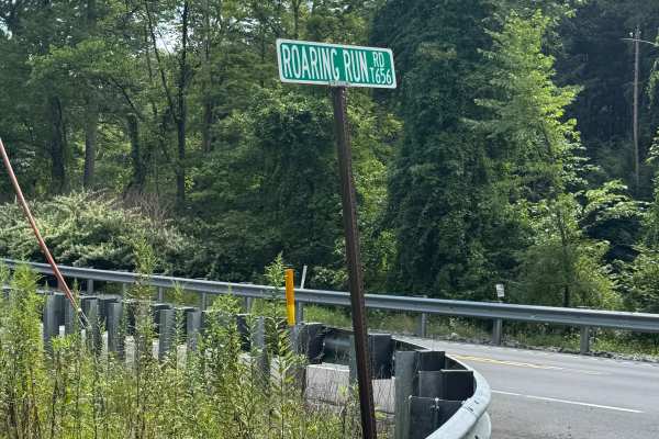
Roaring Run Road
Roaring Run Road is primarily a graded dirt and gravel road. There is a short paved section of this road on the south at the intersection with US Route 220. It turns to dirt and gravel shortly after you start heading north. Roaring Run Road is an easy ride in the summer months; however, there is no ...
Learn more about Roaring Run Road
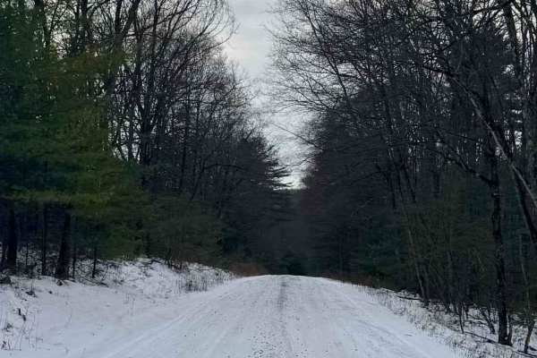
Garden Hollow Road
Garden Hollow Road is a graded gravel road. It is an easy ride in the summer months, however, there is no winter maintenance. During times of rain, snow, and ice, the road will become harder to travel on. Garden Hollow Road is within Bald Eagle State Forest. The McCalls Dam State Park is located clo...
Learn more about Garden Hollow Road
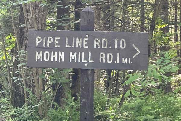
Pipeline Line Road
Pipeline Line Road is an easy, graded gravel road. It is an easy ride in the summer months, with no winter maintenance. During times of rain, snow, and ice makes this trail becomes more treacherous for travel. There are a few areas that are designated hiking trails off of Pipeline Line Road. The pip...
Learn more about Pipeline Line Road
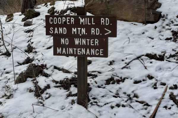
Cooper Mill Road
Cooper Mill Road is a graded gravel road. It is an easy ride in the summer months, however, there is no winter maintenance. During times of rain, snow, and ice the road will become harder to travel on. Cooper Mill Road is within Bald Eagle State Forest. The Mountain Overlook is along Cooper Mill Roa...
Learn more about Cooper Mill Road
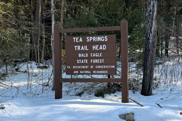
White Deer Pike
White Deer Pike is primarily a graded gravel road. There is a short western section over the Interstate 80 bridges that is paved. The pike runs east all the way to the village of White Deer Pike, but from the Mile Run Exit of Interstate 80 eastward, it is paved. It is an easy ride in the summer mont...
Learn more about White Deer Pike
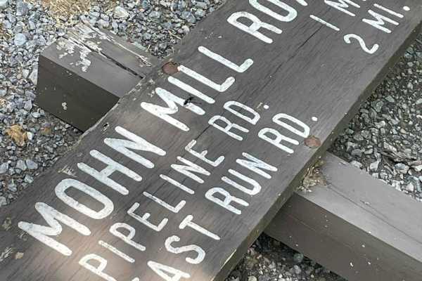
Mohn Mill Road
Mohn Mill Road is a little in-and-out graded gravel trail located in Bald Eagle State Forest. Even though it is a short trail, it has a scenic area with a bench and fire pit/grill, next to a rolling brook. The trail is tight to fit only one full-size vehicle at some points, and there is some side ro...
Learn more about Mohn Mill Road
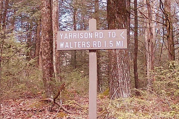
Yarison Road
It is a typical state forest graded gravel road. It is an in-and-out trail within Bald Eagle State Forest. Surrounded by tall pines and big oak trees allows for plenty of wildlife shelters and a replenishing food source. There are turnarounds and much of the road accommodates 2 vehicles, but there i...
Learn more about Yarison Road
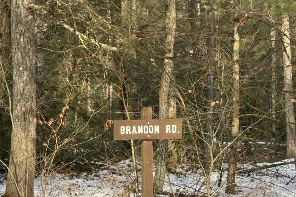
Brandon Road
Brandon Road is a primarily graded gravel road with a few sections of graded dirt. It is an easy ride in the summer months, however, there is no winter maintenance. During times of rain, snow, and ice, the road will become harder to travel on. Brandon Road is within Bald Eagle State Forest.
Learn more about Brandon Road
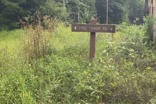
Fire Tower Road
Fire Tower Road is a graded dirt and gravel road. It is an out-and-back road with a large turnaround at the end. Fire Tower Road is an easy ride in the summer months; however, there is no winter maintenance. During times of rain, snow, and ice, the road can become rutted and harder to travel on. Fir...
Learn more about Fire Tower Road
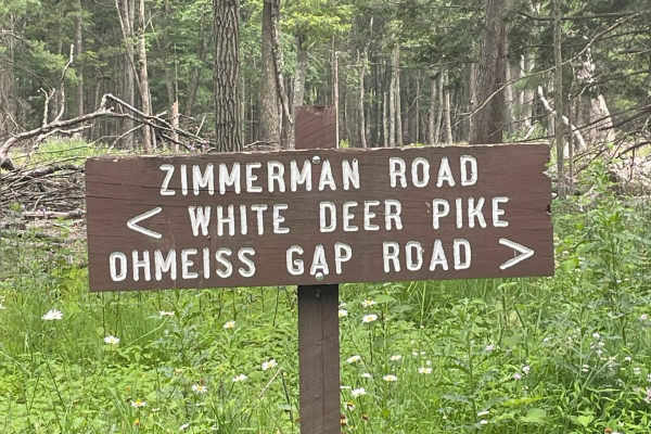
Zimmerman Road
Zimmerman Road is an in-and-out graded gravel trail in the Bald Eagle State Forest. The trail has a few hiking trails: Tea Knob Trail, Mid State Trail, and Bucks Gap Trail. The trail is an easily drivable trail in the Summer, Fall, and Spring, but no winter maintenance makes it more challenging in t...
Learn more about Zimmerman Road
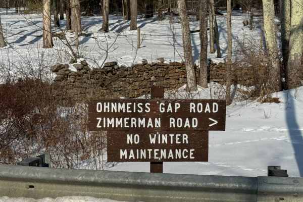
Ohnmeiss Gap Road
Ohnmeiss Gap Road is primarily a graded dirt road. It is an easy ride in the summer months; however, there is no winter maintenance. During times of rain, snow, and ice, the road can become rutted and harder to travel on. Ohnmeiss Gap Road is within Bald Eagle State Forest. There are numerous spots ...
Learn more about Ohnmeiss Gap Road
Beginner ATV trails near McEwensville, Pennsylvania
Explore ATV-friendly trails near you. These trails are accessible for vehicles up to 50 inches wide, perfect for ATVs and smaller off-road machines.
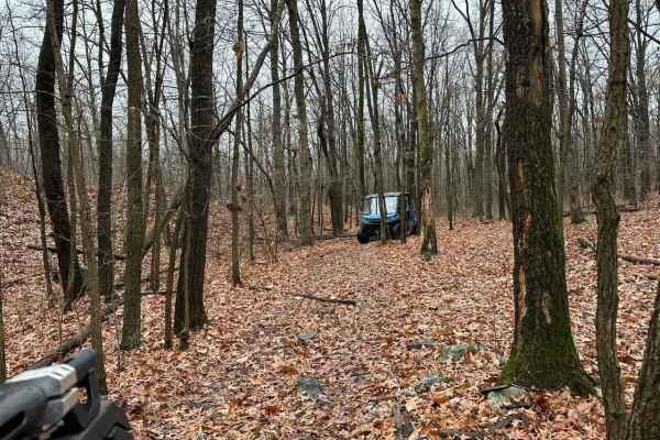
ATV Trail 48
This compact ATV trail loop provides a refreshing diversion from the main Trail 115. Nestled within a wooded area, it offers a pleasant circuit with challenges such as puddles, tight tree sections, rocks, and other obstacles that weave through the trees. Keep in mind that during the summer and into ...
Learn more about ATV Trail 48
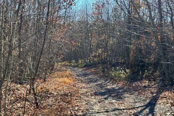
133B
The other part of 133, this area has a few small trail sections. The best part of this section is the trail that goes into the wooded area. It weaves through an old campsite and then has a nice short but steep hill climb leading onto trail 115.
Learn more about 133B
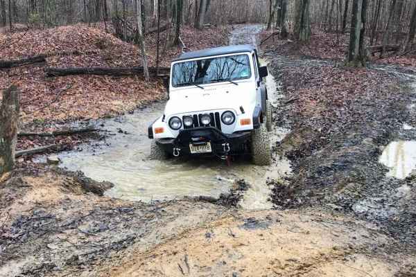
133A
The 133 trail has several segments, and this covers the main trail from end to end. It features rocks, mud, water, puddles, tight tree sections, and more mud. While none of it is extreme, navigating through requires caution to ensure a safe passage.
Learn more about 133A
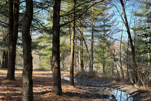
150A
150 is also known as the Heart Lake area and the trails that lead to the lake. Part of this is an open field area, but closer to the lake area, it becomes more of a dense pine tree area. There are puddles and washouts along the way.
Learn more about 150A
Beginner UTV/side-by-side trails near McEwensville, Pennsylvania
Find UTV and side-by-side trails near you. These trails accommodate vehicles up to 60 inches wide, ideal for UTVs, side-by-sides, and wider off-road rigs.
ATV Trail 48
This compact ATV trail loop provides a refreshing diversion from the main Trail 115. Nestled within a wooded area, it offers a pleasant circuit with challenges such as puddles, tight tree sections, rocks, and other obstacles that weave through the trees. Keep in mind that during the summer and into ...
Learn more about ATV Trail 48
133B
The other part of 133, this area has a few small trail sections. The best part of this section is the trail that goes into the wooded area. It weaves through an old campsite and then has a nice short but steep hill climb leading onto trail 115.
Learn more about 133B
133A
The 133 trail has several segments, and this covers the main trail from end to end. It features rocks, mud, water, puddles, tight tree sections, and more mud. While none of it is extreme, navigating through requires caution to ensure a safe passage.
Learn more about 133A
150A
150 is also known as the Heart Lake area and the trails that lead to the lake. Part of this is an open field area, but closer to the lake area, it becomes more of a dense pine tree area. There are puddles and washouts along the way.
Learn more about 150A
The onX Offroad Difference
onX Offroad combines trail photos, descriptions, difficulty ratings, width restrictions, seasonality, and more in a user-friendly interface. Available on all devices, with offline access and full compatibility with CarPlay and Android Auto. Discover what you're missing today!
Open Trail Map