
Beginner Off-Road Trails
Near Matheny, West Virginia
Explore All Beginner Trails Near Matheny, West Virginia
Beginner Off-Road Trails Near Matheny, West Virginia
Discover the best beginner-friendly off-road trails near you. These easier, lower-rated trails are a great place to start — browse trail maps, check difficulty ratings, and find your next adventure.
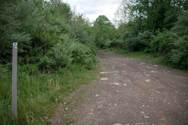
PC 18
PC 18 is a 2.1-mile route that descends steadily from south to north, starting as a fast, flowing option early in a ride from the Pinnacle Creek staging area. The trail runs shelf-like along the hillside with gradual and sometimes blind corners, water bars, and occasional mud puddles. A few large bu...
Learn more about PC 18
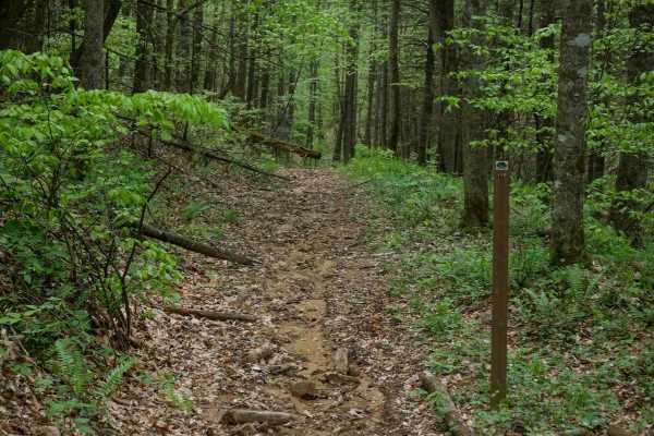
PC 119
PC 119 is a dirt bike-only route, though this designation is not clearly marked at the start of the trail. It begins as a wide path through the trees and descends steeply with ruts and significant leaf decay along the surface. A small stream crossing adds variety before the trail narrows into a shel...
Learn more about PC 119
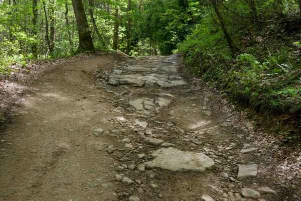
PC 16
PC 16 is a 2.6-mile route that begins with a mostly gradual descent from the north end. It starts wide along the hilltop with open skies, featuring big sweeping corners, waterbars, mud puddles, and minor embedded rock layers. The trail becomes steeper and faster as it drops, with loose dirt over emb...
Learn more about PC 16
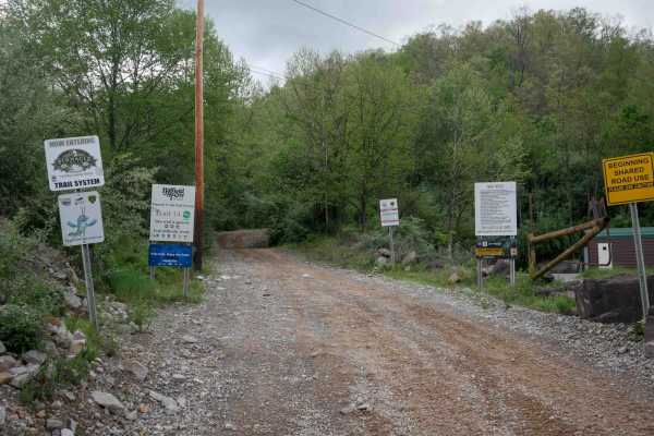
PC 14
PC 14 is a wide, uneven path with mud puddles and good visibility, offering room for two-way travel. The trail is very gradual, with minimal elevation gain, and features minor embedded and loose rock. As the main access route from the Pinnacle Creek Staging Area, it is a popular trail where you will...
Learn more about PC 14
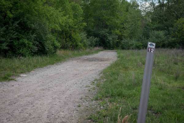
PC 12
PC 12 is a 4-mile-long, winding route making a loop off of trail PC 14. The first half starts with a gradual descent from the west entrance, featuring a wide, gravelly path with minor loose rock and embedded rock. This section is flat and easy, passing under the powerlines. After leaving the powerli...
Learn more about PC 12
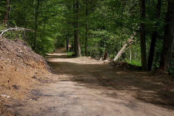
PC 17
PC 17 is a short connector between trails PC 24 and 10, offering a wide and easy path with minimal rock. The trail is very smooth, providing good visibility and a gentle ride through the forest along a ravine. With its low elevation, it offers a straightforward route, ending at trail PC 10 beneath t...
Learn more about PC 17
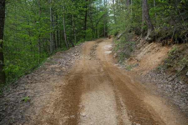
PC 13
Starting from its northwest entrance and making a counter-clockwise loop, PC 13 offers a smooth, easy descent from PC 10 through a lush forest landscape. The trail features wide, sweeping corners, with minor ruts and embedded loose rock typical of the region's terrain. Waterbars are present, and the...
Learn more about PC 13
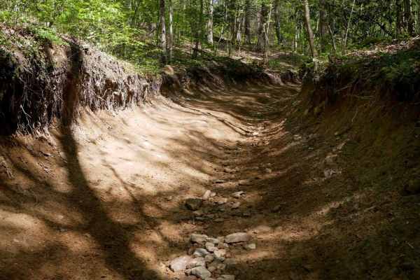
PC 10
PC 10 is a wide path that runs along the hilltops, featuring large mud puddles and a deep trough section dug out from the forest floor with deeper ruts. The trail includes a shelfy section and gradual switchbacks, eventually leading to a wide, graded gravel section beneath the powerlines. There are ...
Learn more about PC 10
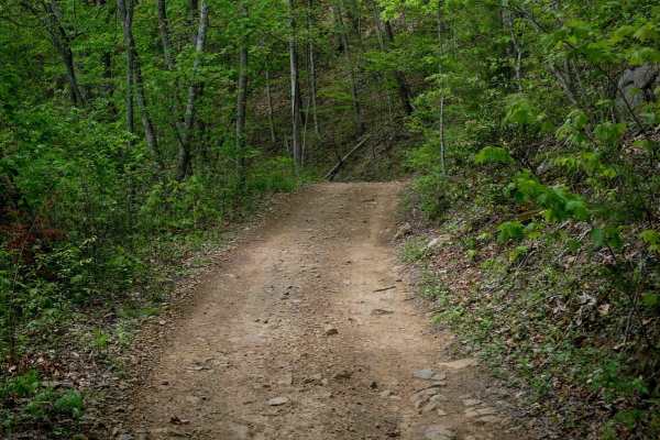
PC 15
PC 15 is a 3.1-mile loop that meanders through forest terrain at higher elevations near the hilltops, offering clear views of the surrounding mountains. The wide path features minor embedded rock and remains mostly smooth throughout. As the trail ascends, it becomes shelfier, with increased tree and...
Learn more about PC 15
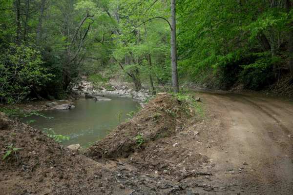
PC 24
PC 24 is a 2.3-mile trail that begins on the north end with a wide path featuring embedded rock surfaces, shallow ruts, and loose rock. The trail steadily descends down the hillside to the forest floor, offering ample room for passing and good visibility for oncoming traffic. As it reaches the creek...
Learn more about PC 24
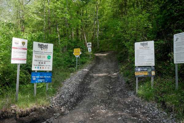
PC 11
PC 11 serves as a main access route from the northeast end of the trail system, as a community connector to the town of Mullens for food, fuel, and lodging (via the approved OHV highway). The trail features a mix of wide open segments and narrower, shelfy sections. It offers a mostly smooth path wit...
Learn more about PC 11
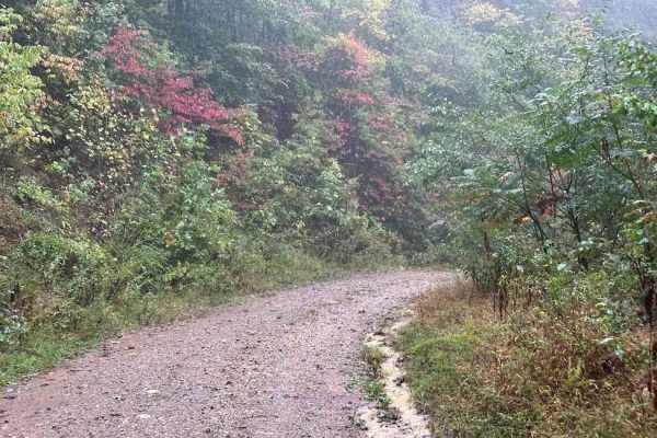
19 Green
19 Green is an easier graded trail that shortcuts Trail 3. It is a nice graded road that was used to bring in equipment and supplies for one of the wells on top of the mountain. This trail will change severity with weather conditions and the growth of brush though.
Learn more about 19 Green
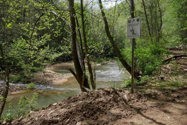
PC 26
PC 26 begins on the south end alongside Pinnacle Creek, offering a scenic river view as the trail follows the water's edge. The trail is mostly smooth with minor rock and ruts, featuring gradual, sweeping corners and good visibility. One shelf-like section climbs above the river before the trail tur...
Learn more about PC 26
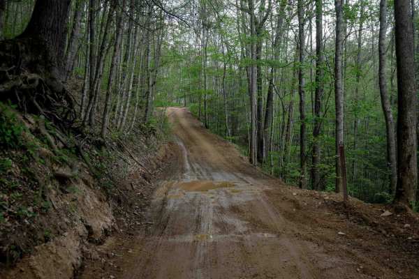
PC 23
PC 23 offers a wide, easy corridor with ample space for two-way travel and good visibility. The trail features straight sections, gradual corners, and a smooth surface with minimal rock and shallow ruts. It crosses the paved Bell School House Ridge Road, after which the northern section narrows slig...
Learn more about PC 23
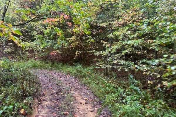
6 Green
6 Green is a good addition to your Burning Rock Adventure. This single-vehicle width dirt trail takes you through the woods on very tame type of terrain. There are shallow mud puddles and shallow water crossings that might be a bit more impressive if rain has been in the forecast. But this does not ...
Learn more about 6 Green
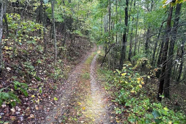
5 Green
5 Green is a single-vehicle-wide trail with uneven terrain that has some areas with deep ruts and slight up-and-down hills. Be on the lookout for the water crossings as they can get a little on the deep side. There are no bypasses around these obstacles.
Learn more about 5 Green
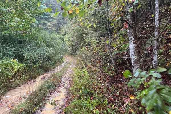
3B Green
3B Green is not the most exciting of trails but is a good trail break after riding on 3B Green's connector trails. This uneven dirt trail can become Jekyll and Hyde if rain is in the forecast. The trails can become quite muddy and slippery causing this bland trail to become a bit more like a 4x4 sli...
Learn more about 3B Green
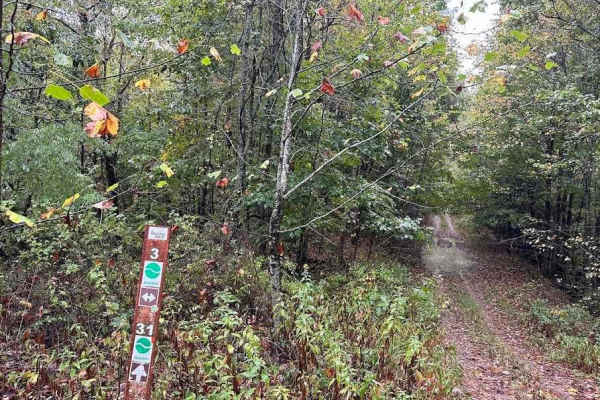
31 Green
31 Green will take you through the woods where you will encounter a tighter trail with ruts, slightly off-camber areas, small rocks, and a few shallow water and or mud obstacles. If rain or snow has fallen the trail will become more slippery. Downed trees or logs can be found along the way.
Learn more about 31 Green
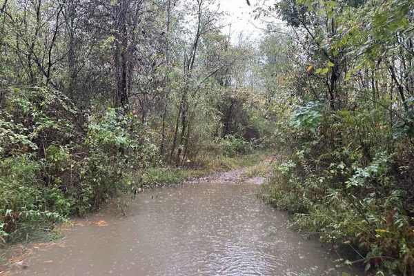
G/24 Green
G starts out as a rocky downhill and depending on the weather it can be really rutted and rocky. It loops around and connects to trail H. Expect rocks, ruts, logs, and brush. There are puddles and tight trees on the bottom of the hill that look far worse than they are but do give a little challenge.
Learn more about G/24 Green
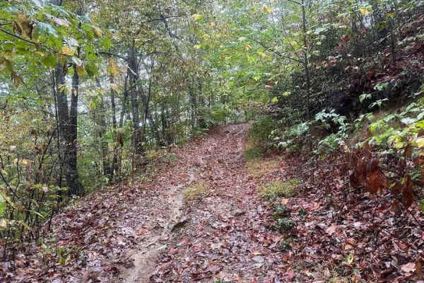
H/23 Green
H is a nice wooded trail that makes a loop between G and A trails. This is a narrow trail full of puddles and shallow ruts. It can be used to mix up routes and loop back to the top of the mountain if you take G trail or others.
Learn more about H/23 Green
Beginner ATV trails near Matheny, West Virginia
Explore ATV-friendly trails near you. These trails are accessible for vehicles up to 50 inches wide, perfect for ATVs and smaller off-road machines.
PC 18
PC 18 is a 2.1-mile route that descends steadily from south to north, starting as a fast, flowing option early in a ride from the Pinnacle Creek staging area. The trail runs shelf-like along the hillside with gradual and sometimes blind corners, water bars, and occasional mud puddles. A few large bu...
Learn more about PC 18
PC 16
PC 16 is a 2.6-mile route that begins with a mostly gradual descent from the north end. It starts wide along the hilltop with open skies, featuring big sweeping corners, waterbars, mud puddles, and minor embedded rock layers. The trail becomes steeper and faster as it drops, with loose dirt over emb...
Learn more about PC 16
PC 14
PC 14 is a wide, uneven path with mud puddles and good visibility, offering room for two-way travel. The trail is very gradual, with minimal elevation gain, and features minor embedded and loose rock. As the main access route from the Pinnacle Creek Staging Area, it is a popular trail where you will...
Learn more about PC 14
PC 12
PC 12 is a 4-mile-long, winding route making a loop off of trail PC 14. The first half starts with a gradual descent from the west entrance, featuring a wide, gravelly path with minor loose rock and embedded rock. This section is flat and easy, passing under the powerlines. After leaving the powerli...
Learn more about PC 12
Beginner UTV/side-by-side trails near Matheny, West Virginia
Find UTV and side-by-side trails near you. These trails accommodate vehicles up to 60 inches wide, ideal for UTVs, side-by-sides, and wider off-road rigs.
PC 18
PC 18 is a 2.1-mile route that descends steadily from south to north, starting as a fast, flowing option early in a ride from the Pinnacle Creek staging area. The trail runs shelf-like along the hillside with gradual and sometimes blind corners, water bars, and occasional mud puddles. A few large bu...
Learn more about PC 18
PC 16
PC 16 is a 2.6-mile route that begins with a mostly gradual descent from the north end. It starts wide along the hilltop with open skies, featuring big sweeping corners, waterbars, mud puddles, and minor embedded rock layers. The trail becomes steeper and faster as it drops, with loose dirt over emb...
Learn more about PC 16
PC 14
PC 14 is a wide, uneven path with mud puddles and good visibility, offering room for two-way travel. The trail is very gradual, with minimal elevation gain, and features minor embedded and loose rock. As the main access route from the Pinnacle Creek Staging Area, it is a popular trail where you will...
Learn more about PC 14
PC 12
PC 12 is a 4-mile-long, winding route making a loop off of trail PC 14. The first half starts with a gradual descent from the west entrance, featuring a wide, gravelly path with minor loose rock and embedded rock. This section is flat and easy, passing under the powerlines. After leaving the powerli...
Learn more about PC 12
The onX Offroad Difference
onX Offroad combines trail photos, descriptions, difficulty ratings, width restrictions, seasonality, and more in a user-friendly interface. Available on all devices, with offline access and full compatibility with CarPlay and Android Auto. Discover what you're missing today!
Open Trail Map