
Beginner Off-Road Trails
Near Madison, West Virginia
Explore All Beginner Trails Near Madison, West Virginia
Beginner Off-Road Trails Near Madison, West Virginia
Discover the best beginner-friendly off-road trails near you. These easier, lower-rated trails are a great place to start — browse trail maps, check difficulty ratings, and find your next adventure.
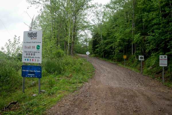
IB 10
This 3.7-mile trail serves as a primary access route from the Ivy Branch parking lot. It is very wide and generally smooth, with only minor ruts and some sections of loose rock. A paved portion is located on the northern end. In the beginning, the trail climbs steadily to an overlook at 1,096 feet i...
Learn more about IB 10
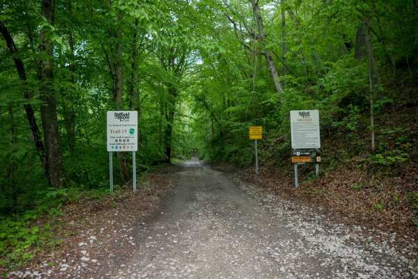
IB 15
IB 15 is a short, half-mile access corridor starting at the intersection with IB 39 near the train tracks at the Little Coal River Fishing and Boating Access, and ending at the start of IB 13. It is a wide, smooth, flat trail with no obstacles and minimal features, running over dark coal dirt. This ...
Learn more about IB 15
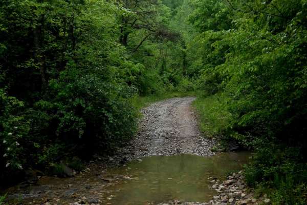
IB 13
IB 13 is a 2.2-mile easy access route through the Ivy Branch system, connecting the start of IB 10 on the west end to IB 18 on the north end, with access to Ivy Branch Road. The trail is wide and mostly smooth, with numerous puddles and a shallow stream crossing through Ivy Creek that features loose...
Learn more about IB 13
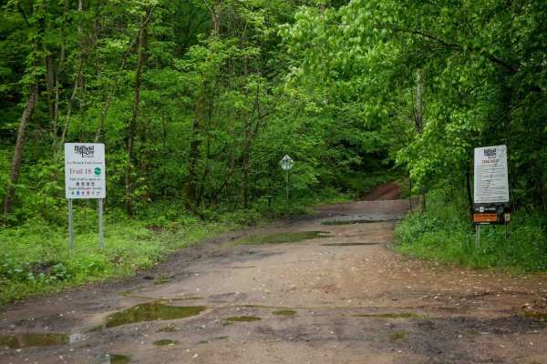
IB 18
IB 18 is a 3.1-mile trail running along the north side of the Ivy Branch system. It begins with a shallow, loose rocky stream crossing at the east entrance and follows a mostly smooth path with large puddles and a parallel ravine. The trail narrows slightly heading west, with occasional ruts and loo...
Learn more about IB 18
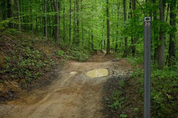
IB 20
IB 20 is a 1-mile trail that is generally smooth and decently wide, with waterbars, mud puddles, and minor loose rock and ruts. It includes some steeper climbing sections with uneven ground and a few narrower areas, but overall remains gradual and easy. Located near other easy trails such as IB 18, ...
Learn more about IB 20
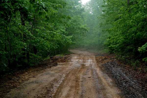
IB 12
IB 12 is a 2-mile easy route along the western edge of the Ivy Branch trail system. It's a wide, smooth trail with shallow ruts, occasional mud puddles, and good visibility for oncoming traffic. Loose rock and debris are mostly pushed to the sides. The route includes water bars and gentle hills with...
Learn more about IB 12
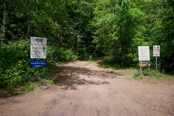
B12
This 2.7-mile-long easy access corridor leaves from the north end of the Bearwallow parking lot and offers a smooth, gradual route into the trail system. The path is mostly flat with gentle corners and shallow ruts. Most loose rock is pushed to the sides, though some sections contain more embedded o...
Learn more about B12
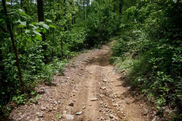
B21
B21 in the Bearwallow trail system is a half-mile connector between trails 19 and 22, and follows a shelf path with a few gradual switchbacks. While generally easy, there are sections with more ruts and loose rock, and the grade is semi-steep in places. It's a manageable zig-zagging route suitable f...
Learn more about B21
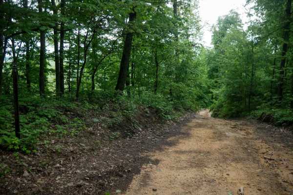
B19
This 2.4-mile long trail is an easy route that takes you from the intersection with 15 (near the town of Logan), deeper into the trail system. It features more pronounced ruts in spots with loose rock and some embedded rock surfaces. There are a few steeper sections, but it remains overall easy with...
Learn more about B19
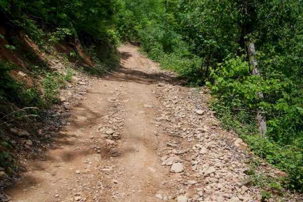
B22
This 1-mile connector trail between 19 and 12 is an easy shelf path with a smooth surface and only minor rocks in a few spots. It's very gradual throughout and presents no technical challenges. The trail runs along a more open mountainside with less tree coverage than many other routes in the system...
Learn more about B22
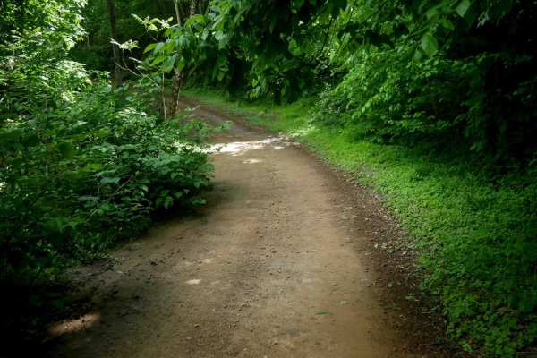
B20
Trail B20 is a 3.3-mile easy access corridor located along the southern edge of the trail system. It winds gradually through lush woods with consistent curves and moderate elevation change. The route features waterbars, shallow ruts, and occasional embedded or loose rock, but remains manageable for ...
Learn more about B20
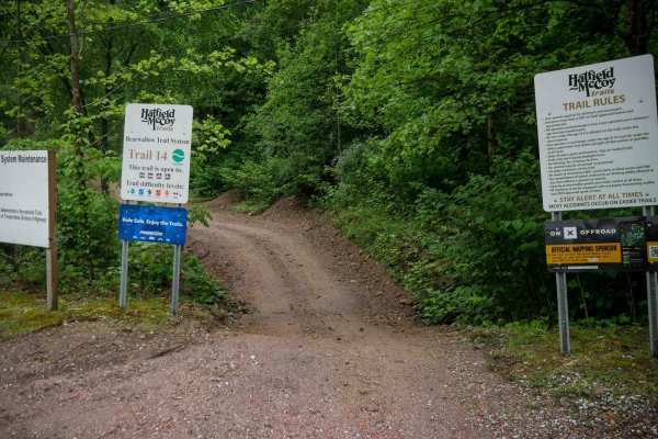
B14
B14 is a 2.5-mile easy access trail that begins at the Bearwallow parking lot and climbs gradually up the mountainside. It features a mix of narrow and wide sections along a shelfy path, with shallow ruts, loose rock, and large waterbars throughout. The trail has mostly gradual grades and corners, m...
Learn more about B14
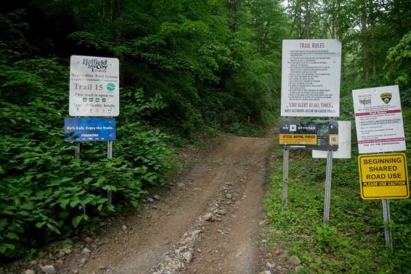
B15
B15 starts in the town of Logan at the end of Cole Street, offering easy access to fuel, food, and lodging. It is an easy access corridor that parallels a ravine, then climbs up the hillsides. The trail is smooth with no major obstacles but includes spots with more rock, ruts, and steeper sections. ...
Learn more about B15
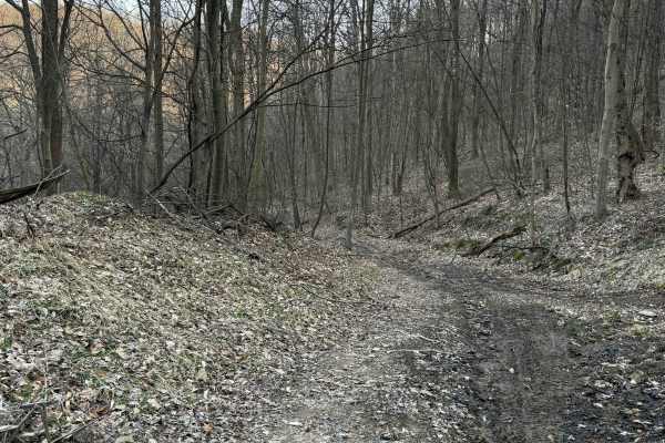
Q20A
Q20A is an easy bypass trail branching off Q20, providing an alternate route along an upper shelf before reconnecting with the main trail. The trail follows an elevated shelf line with a mix of dirt and light gravel surfaces. It offers a slightly different perspective from Q20 while maintaining a sm...
Learn more about Q20A
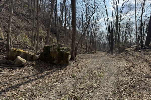
Q20
Q20 is a primary access and scenic route connecting the main paved entrance of AOT to the western edge of the property. This trail provides a smooth, easy ride while linking to multiple trail options and external access points. The trail consists of dirt and gravel surfaces with a steady, easy flow....
Learn more about Q20
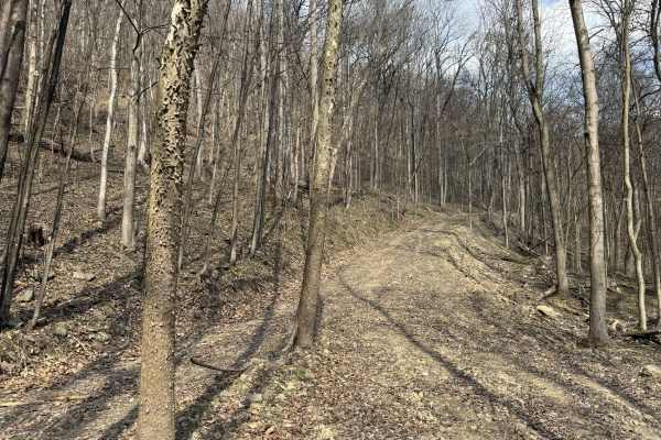
Q24
Q24 is an easy loop trail branching from Q20 and the paved entrance of AOT. This route provides a smooth, accessible loop for anyone looking to explore the Quincy area without committing to more technical terrain. The trail consists of a mix of dirt and gravel surfaces, offering a steady and predict...
Learn more about Q24
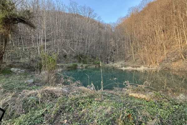
Q35
Q35 is a short spur trail branching from the AOT paved road, leading to a scenic pond area. This trail is ideal for riders looking for a quick stop, a lunch break, or a quiet spot to relax. The trail consists of a smooth gravel surface with an easy, direct path to the pond. The destination offers a ...
Learn more about Q35
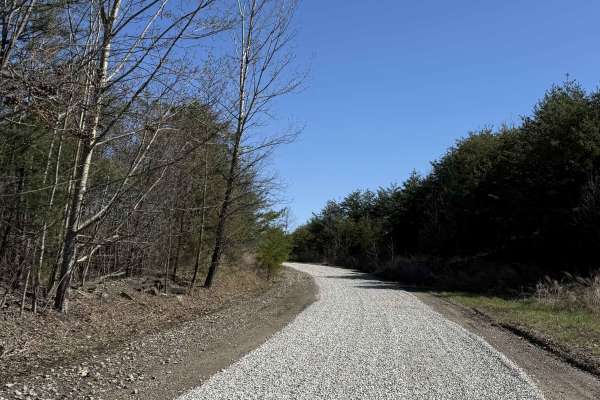
Q1
Q1 serves as the primary access corridor out of the Welcome Center, guiding riders from the Quincy staging area and into the heart of the Appalachian Outlaw Trails system. This is the gateway trail that sets you up to explore other areas of the AOT park. Expect a mix of packed dirt, light elevation ...
Learn more about Q1
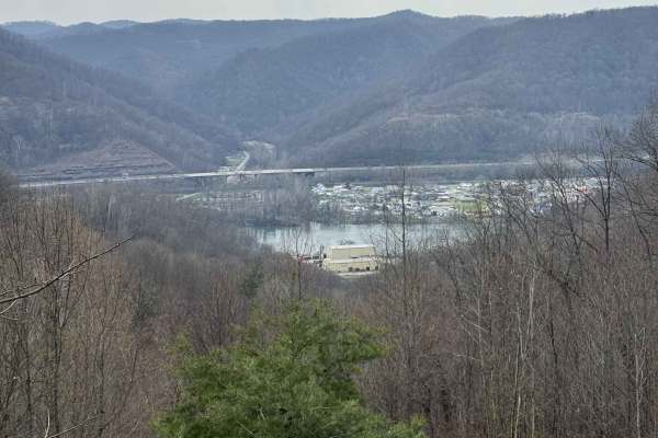
Q16
Q16 is an easy overlook trail extending from the Q5 loop in Upper Quincy. This short route offers a scenic ridge ride culminating in a panoramic view of the surrounding valley. The trail consists of a dirt base and follows a gentle ridgeline, providing a smooth and relaxed ride. The highlight of the...
Learn more about Q16
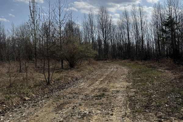
Q31
Q31 is a primary connector trail leading from the main parking lot and AOT Welcome Center into the lower Quincy trail system. This route serves as a central hub for accessing multiple trails and hill climb areas. The trail is a hard-packed gravel road, providing a smooth and consistent ride. Its wid...
Learn more about Q31
Beginner ATV trails near Madison, West Virginia
Explore ATV-friendly trails near you. These trails are accessible for vehicles up to 50 inches wide, perfect for ATVs and smaller off-road machines.
IB 10
This 3.7-mile trail serves as a primary access route from the Ivy Branch parking lot. It is very wide and generally smooth, with only minor ruts and some sections of loose rock. A paved portion is located on the northern end. In the beginning, the trail climbs steadily to an overlook at 1,096 feet i...
Learn more about IB 10
IB 15
IB 15 is a short, half-mile access corridor starting at the intersection with IB 39 near the train tracks at the Little Coal River Fishing and Boating Access, and ending at the start of IB 13. It is a wide, smooth, flat trail with no obstacles and minimal features, running over dark coal dirt. This ...
Learn more about IB 15
IB 13
IB 13 is a 2.2-mile easy access route through the Ivy Branch system, connecting the start of IB 10 on the west end to IB 18 on the north end, with access to Ivy Branch Road. The trail is wide and mostly smooth, with numerous puddles and a shallow stream crossing through Ivy Creek that features loose...
Learn more about IB 13
IB 18
IB 18 is a 3.1-mile trail running along the north side of the Ivy Branch system. It begins with a shallow, loose rocky stream crossing at the east entrance and follows a mostly smooth path with large puddles and a parallel ravine. The trail narrows slightly heading west, with occasional ruts and loo...
Learn more about IB 18
Beginner UTV/side-by-side trails near Madison, West Virginia
Find UTV and side-by-side trails near you. These trails accommodate vehicles up to 60 inches wide, ideal for UTVs, side-by-sides, and wider off-road rigs.
IB 10
This 3.7-mile trail serves as a primary access route from the Ivy Branch parking lot. It is very wide and generally smooth, with only minor ruts and some sections of loose rock. A paved portion is located on the northern end. In the beginning, the trail climbs steadily to an overlook at 1,096 feet i...
Learn more about IB 10
IB 15
IB 15 is a short, half-mile access corridor starting at the intersection with IB 39 near the train tracks at the Little Coal River Fishing and Boating Access, and ending at the start of IB 13. It is a wide, smooth, flat trail with no obstacles and minimal features, running over dark coal dirt. This ...
Learn more about IB 15
IB 13
IB 13 is a 2.2-mile easy access route through the Ivy Branch system, connecting the start of IB 10 on the west end to IB 18 on the north end, with access to Ivy Branch Road. The trail is wide and mostly smooth, with numerous puddles and a shallow stream crossing through Ivy Creek that features loose...
Learn more about IB 13
IB 18
IB 18 is a 3.1-mile trail running along the north side of the Ivy Branch system. It begins with a shallow, loose rocky stream crossing at the east entrance and follows a mostly smooth path with large puddles and a parallel ravine. The trail narrows slightly heading west, with occasional ruts and loo...
Learn more about IB 18
The onX Offroad Difference
onX Offroad combines trail photos, descriptions, difficulty ratings, width restrictions, seasonality, and more in a user-friendly interface. Available on all devices, with offline access and full compatibility with CarPlay and Android Auto. Discover what you're missing today!
Open Trail Map