
Beginner Off-Road Trails
Near Lake Annette, Missouri
Explore All Beginner Trails Near Lake Annette, Missouri
Beginner Off-Road Trails Near Lake Annette, Missouri
Discover the best beginner-friendly off-road trails near you. These easier, lower-rated trails are a great place to start — browse trail maps, check difficulty ratings, and find your next adventure.
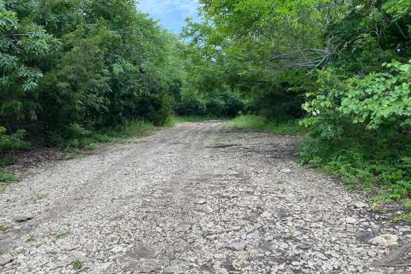
Hangman's Haunt
Hangman's Haunt is a non-directional loop trail within the Takanoah's Hill area of the park, maintained by the Flint Hills Jeep Club. Hangman's Haunt is connected to Takanoah's Hill, Danny's Drive, and Bent Tree. This is a nice flat area where your group can congregate and hang out. There is plenty ...
Learn more about Hangman's Haunt
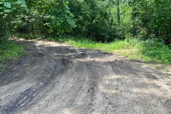
Unpaved Road
Unpaved Road is a very short non-directional trail located within the Takanoah's Hill area of the park, maintained by the Flint Hills Jeep Club. This trail meets Takanoah's Hill at the bottom and also runs right into Ft. Scott Ave. There are no signs for this trail.
Learn more about Unpaved Road
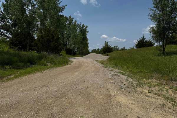
Green 13 Tent Camp Alley
This trail provides access to the primitive tent camping area and also leads to several nearby fishing hole locations. The terrain is a mix of dirt and rock, generally flat and easy to navigate. It serves as a practical connector for campers and anglers looking to reach key spots within the property...
Learn more about Green 13 Tent Camp Alley
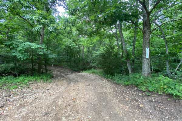
Ft. Scott Ave.
Ft. Scott Ave. is a non-directional trail located within the Takanoah's Hill area of the park, maintained by the Flint Hills Jeep Club. This trail begins where Unpaved Road ends, which is also right in front of where Creek Pass ends. Ft. Scott Ave. ends where it connects to Buckeye Boonies. Towards ...
Learn more about Ft. Scott Ave.
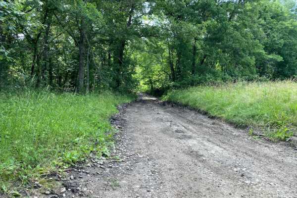
West Bottoms
Do not get the name of this trail confused with Bikini Bottom from Spongebob--this is West Bottoms! West Bottoms runs along the west boundary line of the park. This main loop trail is connected to Buckeye Boonies at one end and East Hill and Main Loop trail at the other. You will have access to many...
Learn more about West Bottoms
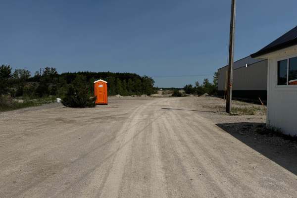
Main Road
The main road is the main entrance into the park. This road starts from the office where you check in and runs all the way to where it connects to Green 140. Because this is the main road through the park, there are several offshoot trails to choose from while traveling along the way.
Learn more about Main Road
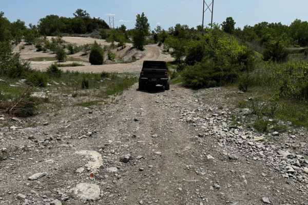
Green 10
Green 10 is a short spur trail that branches off from Green 9 and connects directly to Green 11. The trail features a steep, rocky descent that adds a bit of character to the ride. It's a great connector with a bit of technical flavor depending on the weather.
Learn more about Green 10
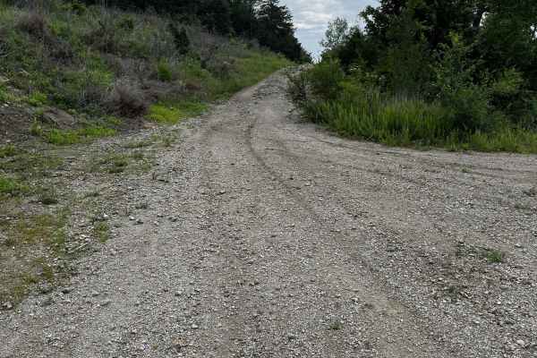
Green 165
This is a straightforward trail that loops back to the camping area using a less-traveled path. While generally easy, there are a few spots where moderate ground clearance is helpful to avoid scraping the undercarriage. Drivers may also experience tight sections where trees grow close to the trail, ...
Learn more about Green 165
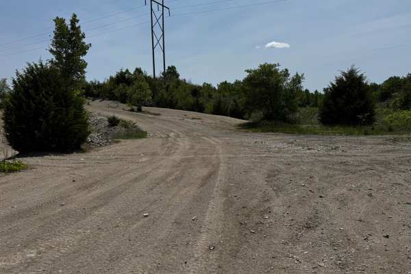
Green 11
This trail features a combination of rock and dirt surfaces and serves as a connector between the playground area and the Main Road Trail. It offers a smooth and steady route with minimal elevation change, making it an ideal transition trail. The terrain is generally well-packed and navigable in mos...
Learn more about Green 11
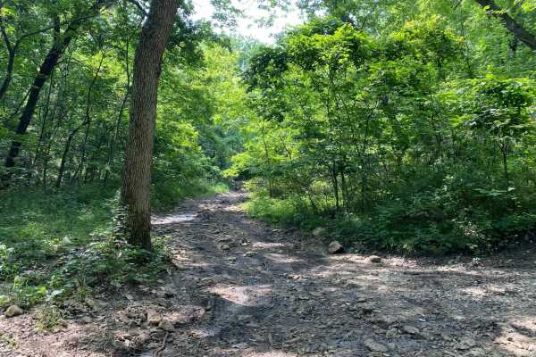
No Name Green
No Name Green is a trail located between the Buckeye Boonies and Carnage Canyon areas of the park. This trail meets with Buckeye Boonies, Zuk Squeeze, and No Name Blue. There is a small creek off to one side of this trail that is relaxing. Most of the trail is shaded and could offer a great spot to ...
Learn more about No Name Green
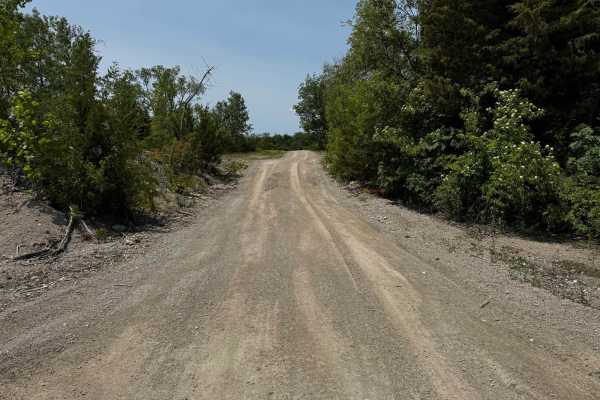
Green 12
This is a straightforward trail that loops around the base of a hill, providing a reliable route between key areas of the property. This trail serves as a connection to or from the primitive tent camping area and the section known as the Playground, helping users easily transition between recreation...
Learn more about Green 12
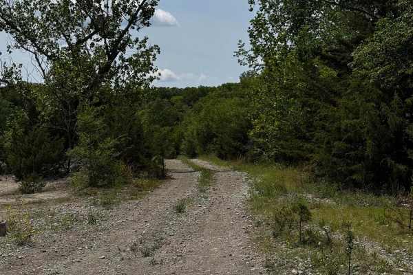
Green 14
This trail features a hard-packed dirt and rock surface, providing a solid and dependable route for most vehicles. At one end, the trail connects with Yellow 8 and Green 15, while the opposite end links directly to Green 11. It serves as a useful connector within the trail network, allowing drivers ...
Learn more about Green 14
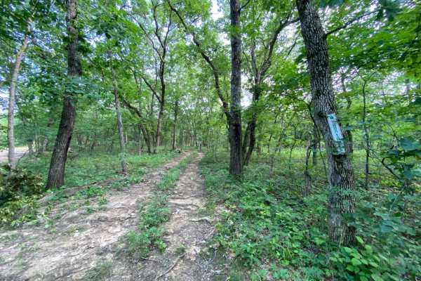
Yountroks
Yountroks is located between the Carnage Canyon and Buckeye Boonies area of the park. This is a short dirt trail that will connect you from Starky's Bomb to the Wagon Trail Connector. This trail is an easy one as it winds you through the trees. You can also be connected to a section of Ho Hummer.
Learn more about Yountroks
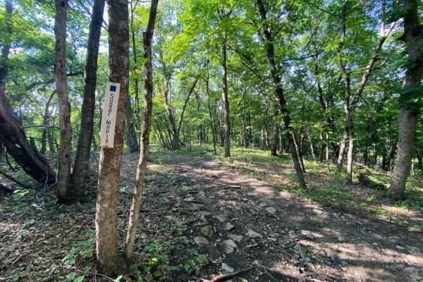
Sugar Maple
Sugar Maple is a non-directional trail within the Turkey Hill area of the park. This trail connects to Jeremys Jaunt at one end and Troxel's Trough at the other end. It also runs parallel to Possum Point and Ruff's Ride. Similar to Possum Point, this is more of a scenic drive through the trees with ...
Learn more about Sugar Maple
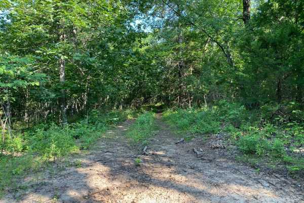
Over Landrover Sea
Over Landrover Sea is a trail between the Buckeye Boonies and Carnage Canyon areas of the park. This is a non-directional trail, so it can be run from either direction. You can consider this trail an off-shoot trail for both Wagon Trail as well as Wagon Trail Connector.
Learn more about Over Landrover Sea
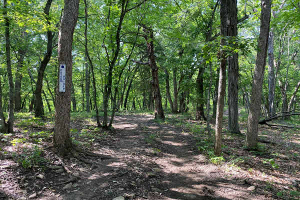
Possum Point
Possum Point is a non-directional trail within the Turkey Hill area of the park. This trail connects to Jeremy's Jaunt at one end and Troxel's Trough at the other end. The trail Sugar Maple runs parallel to this. The drive on this trail is more of a scenic drive through the trees with a slightly ste...
Learn more about Possum Point
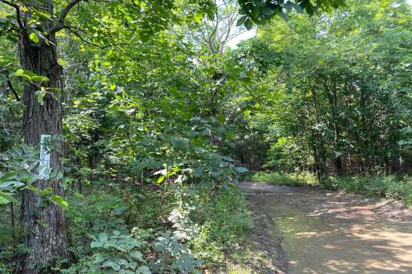
Jeremy's Jaunt
Jeremy's Jaunt is a trail within the Timber Hill and the Turkey Hills areas of the park. When coming from East Hill, the trail comes to a split where you can go left or you can go right. Left leads you to more technical and difficult trails. The right side winds through the trees and connects you to...
Learn more about Jeremy's Jaunt
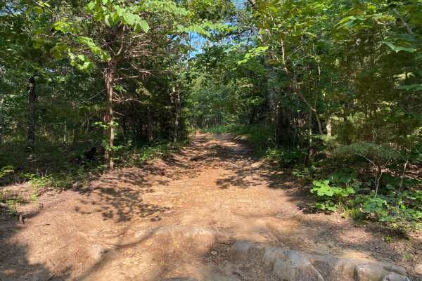
Wagon Trail Connector
Wagon Trail Connector is located between the Buckeye Boonies and Carnage Canyon areas of the park. This is a non-directional trail, so it can be run from either end. This trail will connect you to Wagon Trail from Donny V's Notch. You can also be connected to Meech Homestead, Yountroks, and Over Lan...
Learn more about Wagon Trail Connector
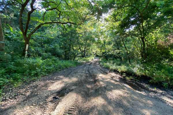
East Hill
East Hill is part of the Main Loop trails around the park and is located within the Buck Hill area. This will connect sections A and B of the park. This part of the main loop is connected to Main Loop, West Bottoms, and Buckeye Boonies. Because this is part of the Main Loop trail system, you will be...
Learn more about East Hill
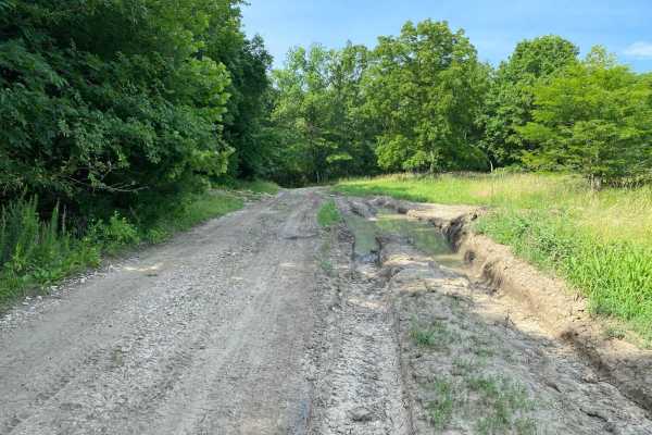
Buckeye Boonies
Buckeye Boonies is part of the main loop trail system within the park. Part of this trail is located in the Wildlife Viewing Area and the Buckeye Boonies Area. Buckeye Boonies is a non-directional trail and can be run from either end. You can also be connected to the Takanoah's Hill area of the park...
Learn more about Buckeye Boonies
Beginner ATV trails near Lake Annette, Missouri
Explore ATV-friendly trails near you. These trails are accessible for vehicles up to 50 inches wide, perfect for ATVs and smaller off-road machines.
Green 13 Tent Camp Alley
This trail provides access to the primitive tent camping area and also leads to several nearby fishing hole locations. The terrain is a mix of dirt and rock, generally flat and easy to navigate. It serves as a practical connector for campers and anglers looking to reach key spots within the property...
Learn more about Green 13 Tent Camp Alley
Main Road
The main road is the main entrance into the park. This road starts from the office where you check in and runs all the way to where it connects to Green 140. Because this is the main road through the park, there are several offshoot trails to choose from while traveling along the way.
Learn more about Main Road
Green 10
Green 10 is a short spur trail that branches off from Green 9 and connects directly to Green 11. The trail features a steep, rocky descent that adds a bit of character to the ride. It's a great connector with a bit of technical flavor depending on the weather.
Learn more about Green 10
Green 165
This is a straightforward trail that loops back to the camping area using a less-traveled path. While generally easy, there are a few spots where moderate ground clearance is helpful to avoid scraping the undercarriage. Drivers may also experience tight sections where trees grow close to the trail, ...
Learn more about Green 165
Beginner UTV/side-by-side trails near Lake Annette, Missouri
Find UTV and side-by-side trails near you. These trails accommodate vehicles up to 60 inches wide, ideal for UTVs, side-by-sides, and wider off-road rigs.
Hangman's Haunt
Hangman's Haunt is a non-directional loop trail within the Takanoah's Hill area of the park, maintained by the Flint Hills Jeep Club. Hangman's Haunt is connected to Takanoah's Hill, Danny's Drive, and Bent Tree. This is a nice flat area where your group can congregate and hang out. There is plenty ...
Learn more about Hangman's Haunt
Unpaved Road
Unpaved Road is a very short non-directional trail located within the Takanoah's Hill area of the park, maintained by the Flint Hills Jeep Club. This trail meets Takanoah's Hill at the bottom and also runs right into Ft. Scott Ave. There are no signs for this trail.
Learn more about Unpaved Road
Green 13 Tent Camp Alley
This trail provides access to the primitive tent camping area and also leads to several nearby fishing hole locations. The terrain is a mix of dirt and rock, generally flat and easy to navigate. It serves as a practical connector for campers and anglers looking to reach key spots within the property...
Learn more about Green 13 Tent Camp Alley
Ft. Scott Ave.
Ft. Scott Ave. is a non-directional trail located within the Takanoah's Hill area of the park, maintained by the Flint Hills Jeep Club. This trail begins where Unpaved Road ends, which is also right in front of where Creek Pass ends. Ft. Scott Ave. ends where it connects to Buckeye Boonies. Towards ...
Learn more about Ft. Scott Ave.
The onX Offroad Difference
onX Offroad combines trail photos, descriptions, difficulty ratings, width restrictions, seasonality, and more in a user-friendly interface. Available on all devices, with offline access and full compatibility with CarPlay and Android Auto. Discover what you're missing today!
Open Trail Map