
Beginner Off-Road Trails
Near Kent Narrows, Maryland
Explore All Beginner Trails Near Kent Narrows, Maryland
Beginner Off-Road Trails Near Kent Narrows, Maryland
Discover the best beginner-friendly off-road trails near you. These easier, lower-rated trails are a great place to start — browse trail maps, check difficulty ratings, and find your next adventure.
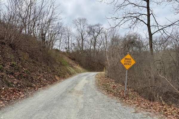
Fishing Creek to Hawk Point
This is generally an easy gravel trail that winds along and through Fishing Creek. It's about 1.5 vehicles wide, but there are numerous pull-outs to allow opposing traffic to pass. Remote and scenic. There are three water crossings that have a concrete slab bottom, but after significant rain, these ...
Learn more about Fishing Creek to Hawk Point
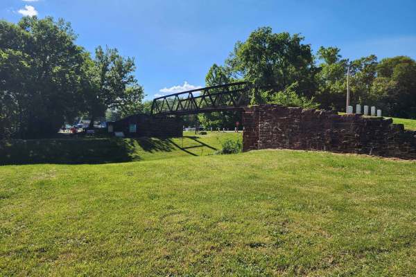
Whites Ferry
This is an easy drive with many tranquil farm views near the Potomac River. The drive from West to East starts at Whites Ferry, which is a car ferry that is currently closed. When it re-opens, you will be able to start or end your adventure by crossing the Potomac in your car on a ferry. The Western...
Learn more about Whites Ferry
Beginner ATV trails near Kent Narrows, Maryland
Explore ATV-friendly trails near you. These trails are accessible for vehicles up to 50 inches wide, perfect for ATVs and smaller off-road machines.
Beginner UTV/side-by-side trails near Kent Narrows, Maryland
Find UTV and side-by-side trails near you. These trails accommodate vehicles up to 60 inches wide, ideal for UTVs, side-by-sides, and wider off-road rigs.
The onX Offroad Difference
onX Offroad combines trail photos, descriptions, difficulty ratings, width restrictions, seasonality, and more in a user-friendly interface. Available on all devices, with offline access and full compatibility with CarPlay and Android Auto. Discover what you're missing today!
Open Trail Map