
Beginner Off-Road Trails
Near Kanosh, Utah
Explore All Beginner Trails Near Kanosh, Utah
Beginner Off-Road Trails Near Kanosh, Utah
Discover the best beginner-friendly off-road trails near you. These easier, lower-rated trails are a great place to start — browse trail maps, check difficulty ratings, and find your next adventure.
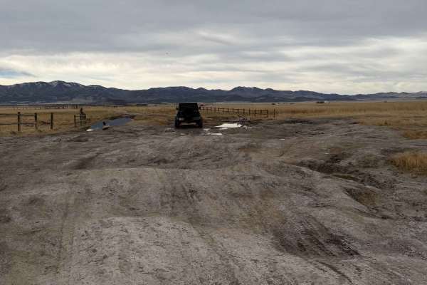
Meadow Hot Springs Road
The road runs from the town of Meadow out to Meadow Hot Springs. It starts out as a maintained, graded, gravel road that is passable in any vehicle. Where the loop starts, there is a parking area for visitors who wish to walk out to the hot springs. There are also trails that go out to the hot sprin...
Learn more about Meadow Hot Springs Road
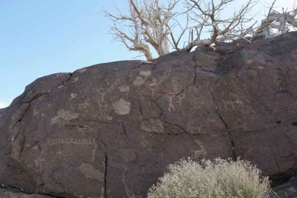
Hole in the Rock Site - CR 4123
This is a 5.6-mile point-to-point destination trail that leads to the Hole in the Rock Petroglyph Site. This is a 2 of 10-rated trail located in Millard County. The trail is a maintained gravel and dirt road that can be used by any 4WD and most 2WD vehicles. The trail will lead to a small parking ar...
Learn more about Hole in the Rock Site - CR 4123
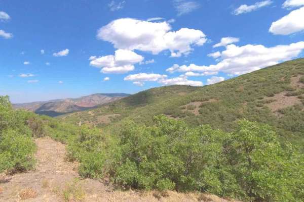
Cummings Creek Road- FS 41680
Cummings Creek Road is a 4.3-mile point-to-point trail rated 3 of 10 located in Millard County. This trail runs along the west side of the Pavant Mountain Range and is within the Fishlake National Forest, Fillmore Ranger District. Cummings Creek Road is part of the original Paiute Trail Network the ...
Learn more about Cummings Creek Road- FS 41680
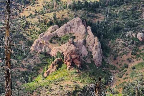
Goat Springs-Devil's Arm Chair-FSR40500
Goat Springs-Devils Arm Chair is a 6.2-mile (12.4-mile round trip) out-and-back trail rated 3 of 10 located in Millard County. The trail is located within the Fishlake National Forest, Fillmore Ranger District. Goats Springs trail is a destination trail that leads out to the Devil's Arm Chair a uniq...
Learn more about Goat Springs-Devil's Arm Chair-FSR40500
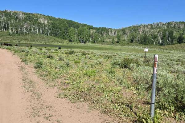
Rockwood - FSR40110
This trail starts where FS40110 and FS18 meet. Take the left to go South on FS40110 and follow it down to the J at the bottom of the trail. You will see lots of cows and water tanks for the animals. Most of this trail is graded across grassy plains. You'll have great mountain views. The fields of sa...
Learn more about Rockwood - FSR40110
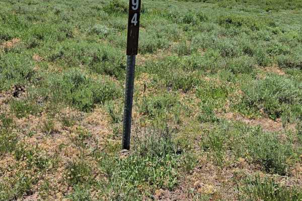
Road to Quick Dip
There are boulders in the road. This should not be traveled except by high clearance vehicles and 4X4. It is a wonderful trip down to the pond at the gate for the Paiute Trail # 1. This is gated for 50" wide vehicles with a black trail rating. The area offers a watering spot for wildlife and cattle ...
Learn more about Road to Quick Dip
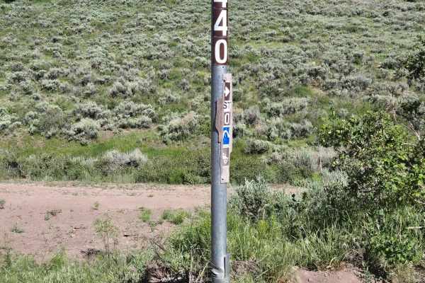
FSR 440
This road off of FSR 110 takes is a beautiful road takes you right through the heart of the aspen forest to loop back on to FSR 110. An abundant amount of wildlife is in this area. Please be mindful of the few residents that reside in this quiet area. This route has a few steep dirt hills and rocky...
Learn more about FSR 440
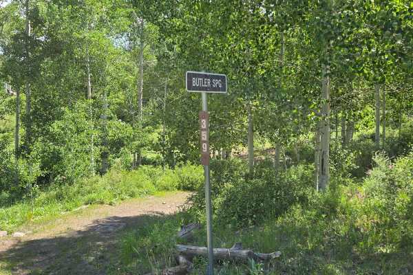
Butler Springs Trail - FS40359
This trail wanders through the trees and grassy areas. You can see cows and antelopes in this area. There are rocks that make interesting displays and cool photos as you drive by. You will come across rocky hill climbs as you head towards the end of the trail. It is not a well-travelled trail, and w...
Learn more about Butler Springs Trail - FS40359
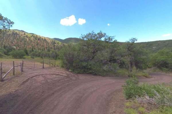
Trail Spring Bench- FS 40107
Trail Spring Bench is a 4.4-mile point-to-point trail rated 3 of 10 located in Millard County. This trail runs along the west side and then crosses the Pavant Mountain Range. It is within the Fishlake National Forest, Fillmore Ranger District. Trail Spring Road is part of the original Paiute Trail N...
Learn more about Trail Spring Bench- FS 40107
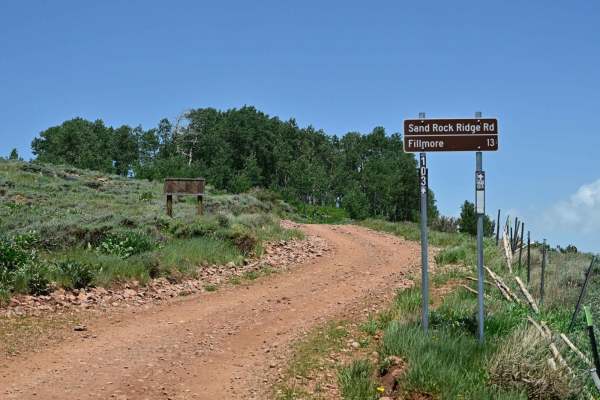
Sand Rock Ridge Road/PST 03B
A nice leisurely trail was mapped from near White Pine Peak's radio towers to Fillmore, UT's outskirts. This trail is part of the Paiute Trail system designated as PST03B. Running the trail from east to west is significant in that at approximately 2.9 miles, the trail becomes exclusively a descent a...
Learn more about Sand Rock Ridge Road/PST 03B
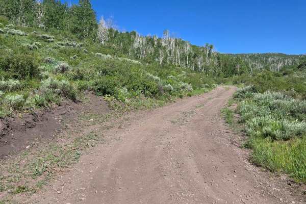
FSR 440
This road off of FSR 110 takes is a beautiful road takes you right through the heart of the aspen forest to loop back on to FSR 110. An abundant amount of wildlife is in this area. Please be mindful of the few residents that reside in this quiet area. This route has a few steep dirt hills and rocky...
Learn more about FSR 440
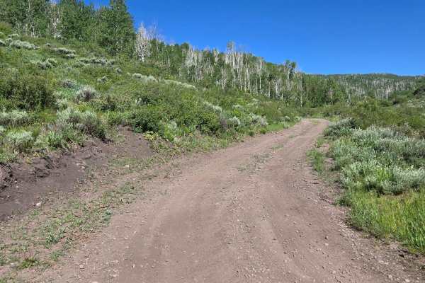
FSR 440
This road off of FSR 110 is a beautiful road that takes you right through the heart of the aspen forest to loop back onto FSR 110. An abundant amount of wildlife is in this area. Please keep in mind the few residents that live in this quiet area. This route has a few steep dirt hills and rocky parts...
Learn more about FSR 440
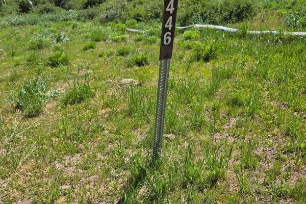
FSR 446 & 439 loop off of 440
This short narrow trail takes you through a field of tall grass. Do not recommend any vehicle over 60" use this trail. This could be muddy during the rainy season. That said you will get an excellent view of the surrounding Aspen trees and distant mountains. Be sure to keep an eye out for wildlife. ...
Learn more about FSR 446 & 439 loop off of 440
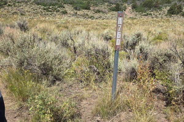
Trail 4994 - FSR 41750
This is a pretty ride from FSR 41674 to FSR 40494. This trail goes through Skinner Hollow, so there are rocks in several places. Most of the ride is through meadowlands. There are lots of scrub oaks along the trail, this would be colorful in the fall. High clearance and 4x4 are recommended. This is ...
Learn more about Trail 4994 - FSR 41750
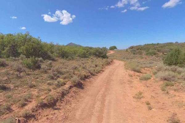
FS-40956
FSR40956 is a 1.1-mile point-to-point trail rated 3 of 10 located in Millard County. This connector trail links Watts Mountain Road with Trail Spring Bench and is part of the Paiute Trail Network #1. This section of trail offers high altitude (above 7500') dispersed camping in open meadows or along ...
Learn more about FS-40956
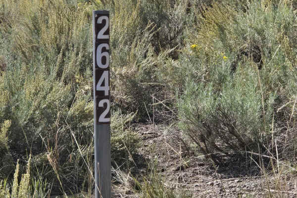
FSR 42642 To 40454
This is a scenic little drive along Indian Creek. This is a rocky narrow trail that takes you down into the canyon and then turns uphill to the intersection with FSR 40454. This trail is not recommended for full-size vehicles. High clearance is a must. Do not attempt in rainy weather. The area has m...
Learn more about FSR 42642 To 40454
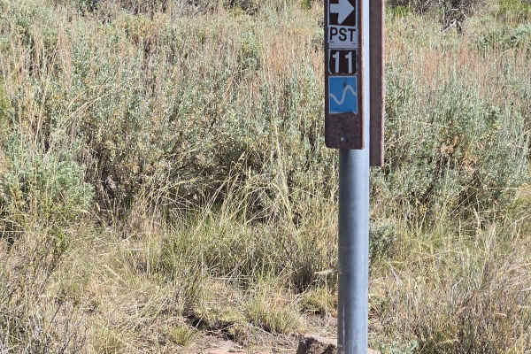
Paiute 1 to Richfield-Pioneer
This trail is a little bit harder. There are different rock formations with a little more clearance requirement. It also gets narrower as it is a side-by-side part of the trail. A minimum high clearance is a must. There are watering ponds and corrals along this part. Look for deer, elk, and other wi...
Learn more about Paiute 1 to Richfield-Pioneer
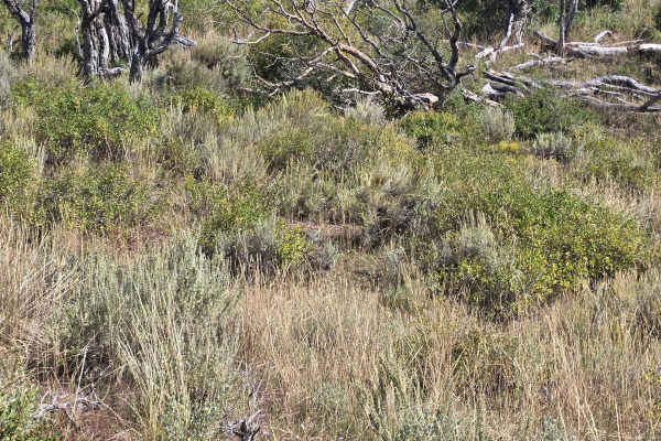
FS 40439 Loop
This is a short loop with scenic overlooks toward the Tushar Mountains. This is not a well-maintained or heavily traveled trail. There is a variety of trees and flowers in the hills along this trail. This trail is located in the Pavant Range north of the Fremont Indian State Park.
Learn more about FS 40439 Loop
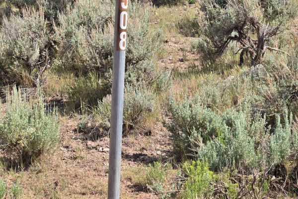
FSR 40508/ FSR 40655 Loop
The trail is primarily used by ranchers on horseback or ATV. This is a very narrow trail with sagebrush on both sides. This is a very scenic area with rock formations and small trees. Watering holes are in the area so be watchful of wildlife. The smell of sage is strong and enjoyable.
Learn more about FSR 40508/ FSR 40655 Loop
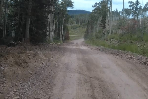
Paiute Side Trail
This is a side trail that shortens the ride from the P11 trail down into Joseph instead of taking the P11 trail all the way into Elsinore. It is mostly flat with some narrow twisting sections. You need to watch out for cows since they are all over and don't often move off the road.
Learn more about Paiute Side Trail
Beginner ATV trails near Kanosh, Utah
Explore ATV-friendly trails near you. These trails are accessible for vehicles up to 50 inches wide, perfect for ATVs and smaller off-road machines.
Meadow Hot Springs Road
The road runs from the town of Meadow out to Meadow Hot Springs. It starts out as a maintained, graded, gravel road that is passable in any vehicle. Where the loop starts, there is a parking area for visitors who wish to walk out to the hot springs. There are also trails that go out to the hot sprin...
Learn more about Meadow Hot Springs Road
Hole in the Rock Site - CR 4123
This is a 5.6-mile point-to-point destination trail that leads to the Hole in the Rock Petroglyph Site. This is a 2 of 10-rated trail located in Millard County. The trail is a maintained gravel and dirt road that can be used by any 4WD and most 2WD vehicles. The trail will lead to a small parking ar...
Learn more about Hole in the Rock Site - CR 4123
Cummings Creek Road- FS 41680
Cummings Creek Road is a 4.3-mile point-to-point trail rated 3 of 10 located in Millard County. This trail runs along the west side of the Pavant Mountain Range and is within the Fishlake National Forest, Fillmore Ranger District. Cummings Creek Road is part of the original Paiute Trail Network the ...
Learn more about Cummings Creek Road- FS 41680
Goat Springs-Devil's Arm Chair-FSR40500
Goat Springs-Devils Arm Chair is a 6.2-mile (12.4-mile round trip) out-and-back trail rated 3 of 10 located in Millard County. The trail is located within the Fishlake National Forest, Fillmore Ranger District. Goats Springs trail is a destination trail that leads out to the Devil's Arm Chair a uniq...
Learn more about Goat Springs-Devil's Arm Chair-FSR40500
Beginner UTV/side-by-side trails near Kanosh, Utah
Find UTV and side-by-side trails near you. These trails accommodate vehicles up to 60 inches wide, ideal for UTVs, side-by-sides, and wider off-road rigs.
Meadow Hot Springs Road
The road runs from the town of Meadow out to Meadow Hot Springs. It starts out as a maintained, graded, gravel road that is passable in any vehicle. Where the loop starts, there is a parking area for visitors who wish to walk out to the hot springs. There are also trails that go out to the hot sprin...
Learn more about Meadow Hot Springs Road
Hole in the Rock Site - CR 4123
This is a 5.6-mile point-to-point destination trail that leads to the Hole in the Rock Petroglyph Site. This is a 2 of 10-rated trail located in Millard County. The trail is a maintained gravel and dirt road that can be used by any 4WD and most 2WD vehicles. The trail will lead to a small parking ar...
Learn more about Hole in the Rock Site - CR 4123
Cummings Creek Road- FS 41680
Cummings Creek Road is a 4.3-mile point-to-point trail rated 3 of 10 located in Millard County. This trail runs along the west side of the Pavant Mountain Range and is within the Fishlake National Forest, Fillmore Ranger District. Cummings Creek Road is part of the original Paiute Trail Network the ...
Learn more about Cummings Creek Road- FS 41680
Goat Springs-Devil's Arm Chair-FSR40500
Goat Springs-Devils Arm Chair is a 6.2-mile (12.4-mile round trip) out-and-back trail rated 3 of 10 located in Millard County. The trail is located within the Fishlake National Forest, Fillmore Ranger District. Goats Springs trail is a destination trail that leads out to the Devil's Arm Chair a uniq...
Learn more about Goat Springs-Devil's Arm Chair-FSR40500
The onX Offroad Difference
onX Offroad combines trail photos, descriptions, difficulty ratings, width restrictions, seasonality, and more in a user-friendly interface. Available on all devices, with offline access and full compatibility with CarPlay and Android Auto. Discover what you're missing today!
Open Trail Map