
Beginner Off-Road Trails
Near Isanti, Minnesota
Explore All Beginner Trails Near Isanti, Minnesota
Beginner Off-Road Trails Near Isanti, Minnesota
Discover the best beginner-friendly off-road trails near you. These easier, lower-rated trails are a great place to start — browse trail maps, check difficulty ratings, and find your next adventure.
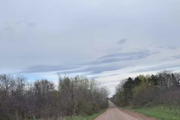
Chengwatana Forest Road
This is a simple dirt road serving as the main avenue to the rest of the forest. Along the way, there are some nice views, especially where it opens up to the main bog/marshland. Keep in mind, this road sits very close to the waterline in several spots, so the ground may get soft in those sections d...
Learn more about Chengwatana Forest Road
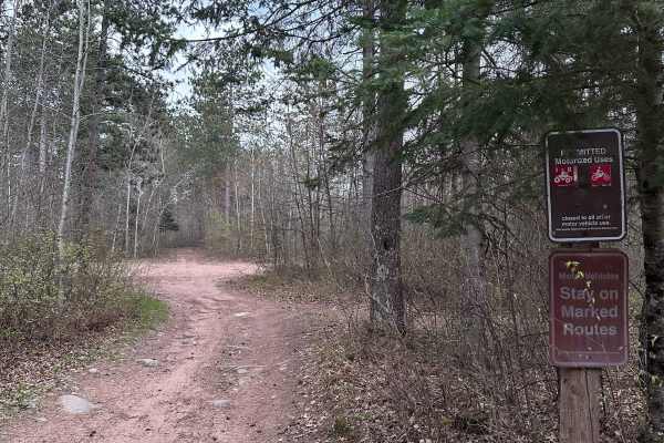
High Ground
This trail is one of the few in the whole forest that does not have any deep water crossings. There are a few shallow puddles that you'll encounter, but nothing extreme. Overall, this route is a nice break from the boggy trails in the rest of the system. It also smells wonderfully of pine.
Learn more about High Ground
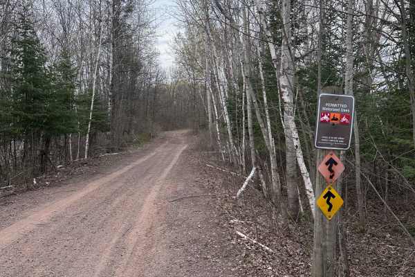
Matthew Lourey State Trail
This is a short section of the Matthew Lourey State Trail that's accessible to OHVs in the summertime. Note that this is an out-and-back trail because OHV access ends at a dirt turn-around while the snowmobile trail continues north. Expect some smaller whoops, braking bumps, a few mud holes, and roc...
Learn more about Matthew Lourey State Trail
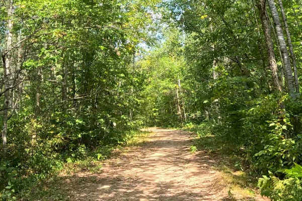
AlanDale Stem Trail
This is the main service trail for the "stem and leaf" style trail system at AlanDale. The single-track routes branch off of this trail, so motorcycle riders frequently cross it. ATVs are allowed on this trail, but considering it is the only such trail in the system, it is intended primarily as a tr...
Learn more about AlanDale Stem Trail
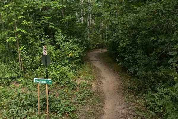
Chelsey Brook Trail
Chelsey Brook Trail is a relatively flat and flowy trail with few obstacles along the way. It primarily has a dirt surface with some short rocky sections, occasional ruts, and some tighter areas that weave between trees. During dry summers, the ruts will contain little to no water, and the trail wil...
Learn more about Chelsey Brook Trail
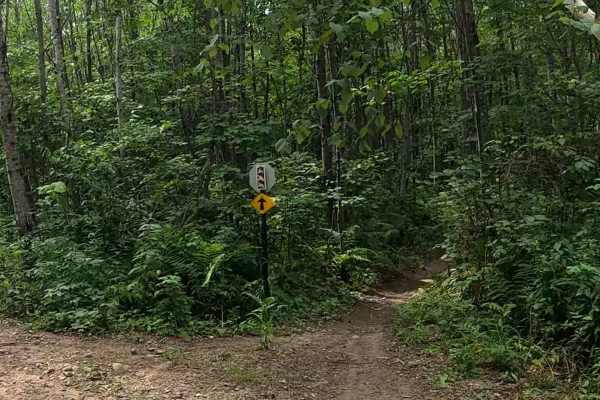
Logger's Run
Logger's Run is a twisty trail that runs through a mix of dense woodland and a clear-cut logging area. Riders should expect the usual tight trees, embedded roots/rocks, some ruts, and some minor logging area hazards like loose sticks and erosion. The clear-cut area is well marked, and the trail is w...
Learn more about Logger's Run
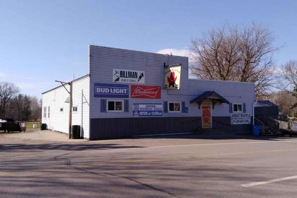
Hillman to Onamia
Hillman to Onamia on the Soo Line South Trail is a section of converted rail grade. At 12 miles long, it takes about 30 minutes with an average speed of 24.1 mph. This section of the Soo Line South Trail is provided by Mille Lacs County and maintained by the Mille Lacs Drift Skippers Snowmobile/ATV ...
Learn more about Hillman to Onamia
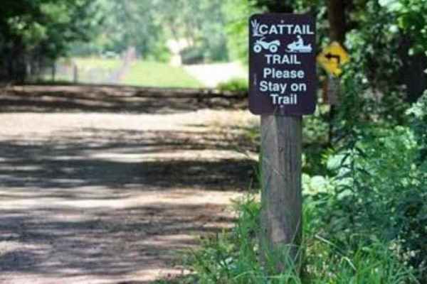
Cattail State Trail: Amery to Turtle Lake
Cattail State Trail: Amery to Turtle Lake is an 11.8-mile point-to-point trail rated 2 of 10 located in Polk County. The Amery to Turtle Lake section of the Cattail State Trail is a packed gravel rail-to-trail that has a gentle elevation gain of 200 feet over the length of the trail. Departing Amery...
Learn more about Cattail State Trail: Amery to Turtle Lake
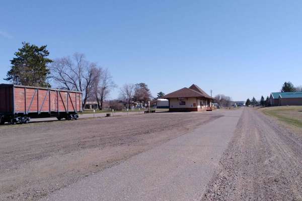
Onamia to Wahkon
Onamia to Wahkon on the Soo Line South is a section of converted rail grade. At 8.2 miles long, it takes about 30 minutes with an average speed of 13.7 MPH. This section of the Soo Line South Trail is provided by Mille Lacs County and maintained by the Mille Lacs Drift Skippers Snowmobile/ATV Club. ...
Learn more about Onamia to Wahkon
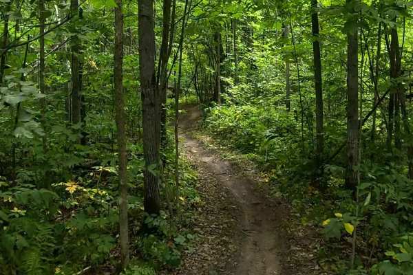
AlanDale Alps
AlanDale Alps is named for being one of the few trails in the system that has any significant hills. Expect mostly flowing dirt single-track through dense woodland with a handful of short up-and-down hill sections throughout. None of the hills are especially difficult, making this a very approachabl...
Learn more about AlanDale Alps
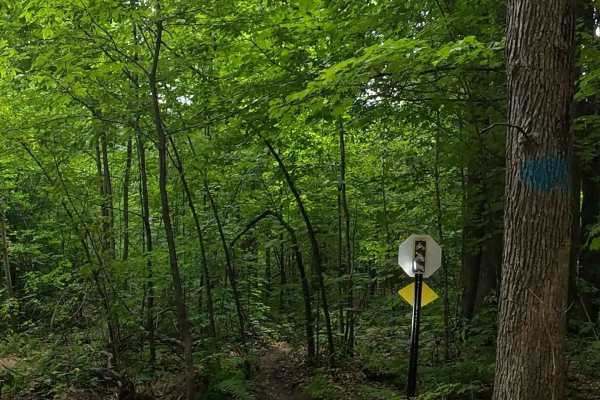
Mathwig Cut
Mathwig Cut is a fun, flowing single track through a mix of dense and open timber. The trail stays relatively flat as it winds through the trees on mostly smooth, packed dirt. Scattered roots, rocks, small logs, and shallow ruts add variety without becoming overly technical. Tight wooded sections an...
Learn more about Mathwig Cut
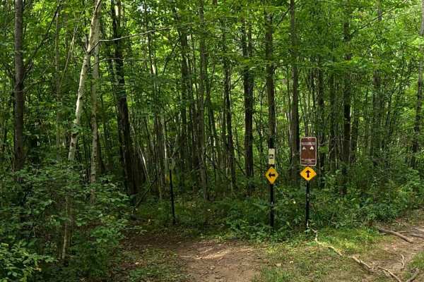
Norsemen Pass
Norsemen Pass, named after the club that builds and maintains this trail system, is an easy-flowing trail with some tighter sections that wind through tight trees. It runs along the ATV stem trail for much of the way. Expect mostly dirt for the trail surface with some embedded and loose rocks, narro...
Learn more about Norsemen Pass
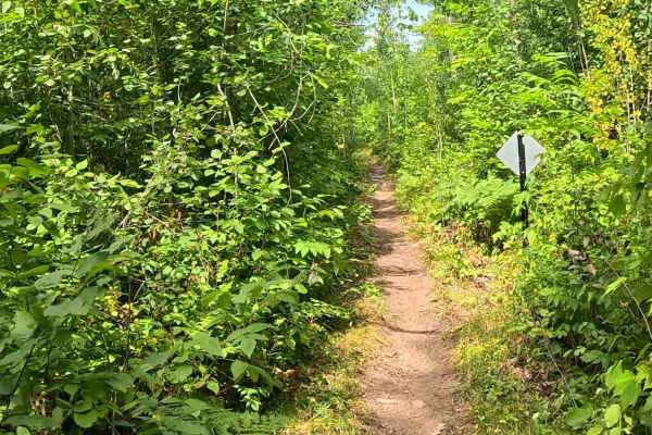
Greenwald Run
Greenwald Run is a classic Minnesota woods trail featuring a narrow dirt track winding through a mix of dense forest and open straight sections. Mostly smooth dirt tread allows for good flow with enough embedded rocks/roots, occasional downed trees, and ruts to keep the ride engaging. Visibility can...
Learn more about Greenwald Run
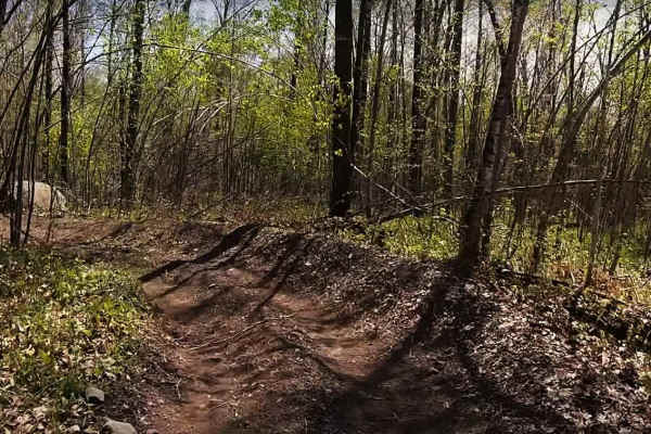
Foxy Loop Main
The Foxy Loop is the first ATV trail network along the Soo Line Trail just north of Isle, Minnesota. There are about 2.5 miles of trail within the Foxy Loop network. The 1.5-mile main trail runs between the north and south gates of this bidirectional trail. Several side trails can be run as loops of...
Learn more about Foxy Loop Main

Genola to Hillman
Genola to Hillman on the Soo Line South Trail is a section of converted rail grade that is 12 miles long and takes about 40 minutes with an average speed of 19.6 mph. This section of the Soo Line South Trail is provided by Morrison County and maintained by the Eastern Morrison County 4 Wheelers Club...
Learn more about Genola to Hillman
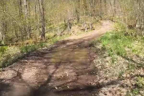
Foxy Loop 2
The Foxy Loop 2 is a shorter loop trail within the Foxy Loop network, accessed a short distance in from either entrance on the Soo Line. The trail is a little shorter than the Foxy Loop Main at only 1 mile. Combined with the Foxy Main, the network is roughly 2.5 miles of trail. This network is a gr...
Learn more about Foxy Loop 2
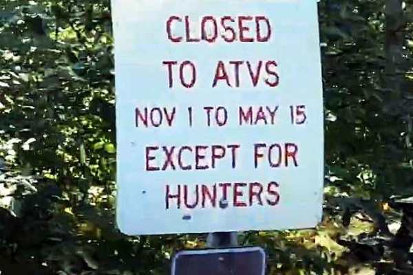
Red Top Loop
The Red Top Loop is located within a wooded area between the communities of Isle and McGrath in Aitkin County. The Red Top Loop trail network is made up of several different trails, all generally looping back to the main Red Top Loop. The entire network consists of more than 25 miles of ATV accessib...
Learn more about Red Top Loop
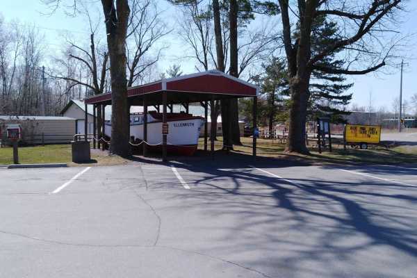
Wahkon to McGrath
Wahkon to McGrath is a section of converted rail grade. It's 15 miles long and takes about 30 minutes with an average speed of 13.7 MPH. This section starts at the Wahkon City Park. There is an easily-accessed gas station at this city park in Wahkon. (There's no parking for trailers to start your tr...
Learn more about Wahkon to McGrath
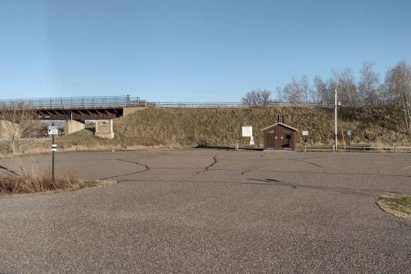
Trailhead Parking to Genola
This section of Soo Line South is an easy trail with a great parking lot at the trailhead that has lots of room for trailers. The parking lot has security cameras and two vault-type restrooms. The parking lot and first few hundred feet of trail going up the hill from the parking lot's northwest end ...
Learn more about Trailhead Parking to Genola
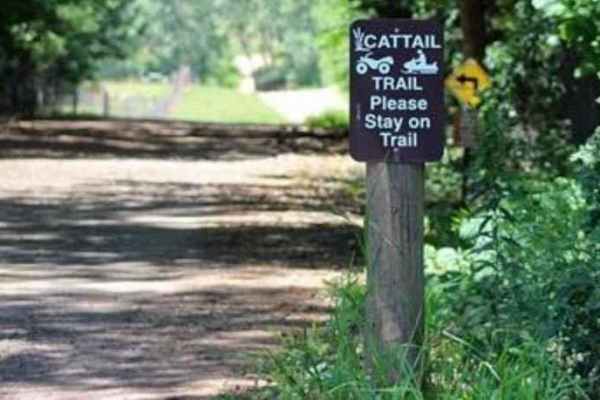
Cattail State Trail: Turtle Lake to Almena
Cattail State Trail: Turtle Lake to Almena is a 6.4-mile point-to-point trail rated 2 of 10 located in Barron County. The Turtle Lake to Almena section of the Cattail State Trail is a packed gravel rail-to-trail that has a gentle descent, losing about 75 feet over the length of the trail. Departing ...
Learn more about Cattail State Trail: Turtle Lake to Almena
Beginner ATV trails near Isanti, Minnesota
Explore ATV-friendly trails near you. These trails are accessible for vehicles up to 50 inches wide, perfect for ATVs and smaller off-road machines.
Chengwatana Forest Road
This is a simple dirt road serving as the main avenue to the rest of the forest. Along the way, there are some nice views, especially where it opens up to the main bog/marshland. Keep in mind, this road sits very close to the waterline in several spots, so the ground may get soft in those sections d...
Learn more about Chengwatana Forest Road
High Ground
This trail is one of the few in the whole forest that does not have any deep water crossings. There are a few shallow puddles that you'll encounter, but nothing extreme. Overall, this route is a nice break from the boggy trails in the rest of the system. It also smells wonderfully of pine.
Learn more about High Ground
Matthew Lourey State Trail
This is a short section of the Matthew Lourey State Trail that's accessible to OHVs in the summertime. Note that this is an out-and-back trail because OHV access ends at a dirt turn-around while the snowmobile trail continues north. Expect some smaller whoops, braking bumps, a few mud holes, and roc...
Learn more about Matthew Lourey State Trail
AlanDale Stem Trail
This is the main service trail for the "stem and leaf" style trail system at AlanDale. The single-track routes branch off of this trail, so motorcycle riders frequently cross it. ATVs are allowed on this trail, but considering it is the only such trail in the system, it is intended primarily as a tr...
Learn more about AlanDale Stem Trail
Beginner UTV/side-by-side trails near Isanti, Minnesota
Find UTV and side-by-side trails near you. These trails accommodate vehicles up to 60 inches wide, ideal for UTVs, side-by-sides, and wider off-road rigs.
Chengwatana Forest Road
This is a simple dirt road serving as the main avenue to the rest of the forest. Along the way, there are some nice views, especially where it opens up to the main bog/marshland. Keep in mind, this road sits very close to the waterline in several spots, so the ground may get soft in those sections d...
Learn more about Chengwatana Forest Road
Matthew Lourey State Trail
This is a short section of the Matthew Lourey State Trail that's accessible to OHVs in the summertime. Note that this is an out-and-back trail because OHV access ends at a dirt turn-around while the snowmobile trail continues north. Expect some smaller whoops, braking bumps, a few mud holes, and roc...
Learn more about Matthew Lourey State Trail
Hillman to Onamia
Hillman to Onamia on the Soo Line South Trail is a section of converted rail grade. At 12 miles long, it takes about 30 minutes with an average speed of 24.1 mph. This section of the Soo Line South Trail is provided by Mille Lacs County and maintained by the Mille Lacs Drift Skippers Snowmobile/ATV ...
Learn more about Hillman to Onamia
Onamia to Wahkon
Onamia to Wahkon on the Soo Line South is a section of converted rail grade. At 8.2 miles long, it takes about 30 minutes with an average speed of 13.7 MPH. This section of the Soo Line South Trail is provided by Mille Lacs County and maintained by the Mille Lacs Drift Skippers Snowmobile/ATV Club. ...
Learn more about Onamia to Wahkon
The onX Offroad Difference
onX Offroad combines trail photos, descriptions, difficulty ratings, width restrictions, seasonality, and more in a user-friendly interface. Available on all devices, with offline access and full compatibility with CarPlay and Android Auto. Discover what you're missing today!
Open Trail Map