
Beginner Off-Road Trails
Near Iberia, Ohio
Explore All Beginner Trails Near Iberia, Ohio
Beginner Off-Road Trails Near Iberia, Ohio
Discover the best beginner-friendly off-road trails near you. These easier, lower-rated trails are a great place to start — browse trail maps, check difficulty ratings, and find your next adventure.
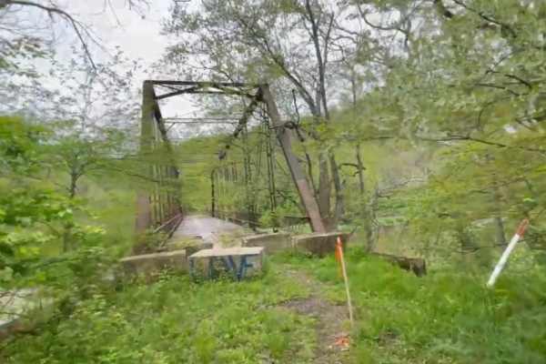
Bridge of Dreams to Hunter Steel Bridge
This is a narrow, graded winding gravel dirt mix that runs along the Kokosing River. Just after the roadside Springs, it changes Elevation to go up through a small patch of woods, and it drops down into a sweeping farmland Vista with sandstone ruins travels down a single track dead-end road to Hunte...
Learn more about Bridge of Dreams to Hunter Steel Bridge
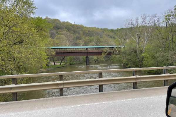
Bridge of Dreams to Mohican River
Fantastic rolling gravel along Kokosing River. There are multiple springs for filling water along the southern edge of the route. Some sections to this can be very high speed if graded well. New canoe access and Campground are adjacent to the Bridge of Dreams Park which is a 300+ foot-long pedestria...
Learn more about Bridge of Dreams to Mohican River
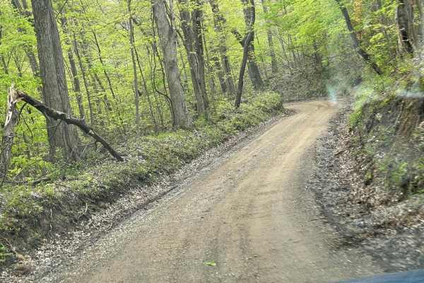
Walhonding Hills Steel Bridge to Bridge of Dreams
This trail is a tertiary gravel road that winds through the Amish Community with significant changes in elevation and sharp terms. Be aware of oncoming vehicle horse and foot traffic in the area as it is heavily Amish residential. Some of the sections at the end of this road get very steep with blin...
Learn more about Walhonding Hills Steel Bridge to Bridge of Dreams
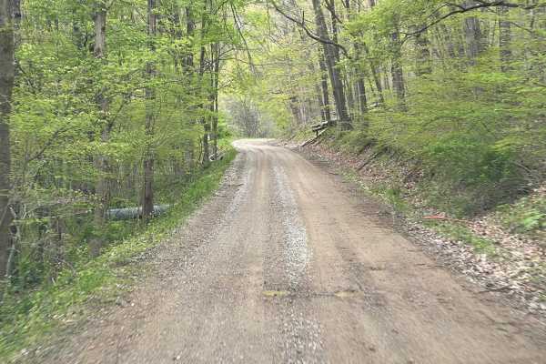
Batnest Loop
This is the eastern loop of Batnest Road back to Main Road 715. The nice twisty well-graded gravel road gets fairly steep in places. Hunting and fishing in the area with proper licensing, known for foraging of ginseng and mushrooms. Part of the Batnest and Stone Quarry Loop near Walhonding, Ohio, an...
Learn more about Batnest Loop
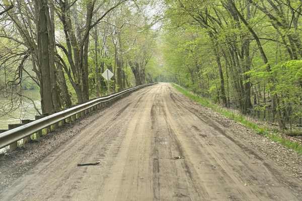
Walhonding Hills Steel Bridge to 715 Batnest Loop
This is a high-speed, secondary gravel road running along the Kokosing River. Expect to encounter significant changes in elevation, and some blind turns on the cliff edge. This area is public hunting so foraging for ginseng and mushrooms are allowed with proper permits. Use caution in the fall, bein...
Learn more about Walhonding Hills Steel Bridge to 715 Batnest Loop
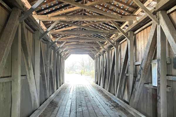
Amish Lumber Mills
These are some great winding country back roads going through Amish Country seeing several Amish lumber mills and roadside markets to purchase Amish produce and craft. With beautiful changes in elevation, some of these roads can get narrow and technical. Many places to pull over and have other traff...
Learn more about Amish Lumber Mills
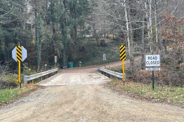
Valley and Cows
Valley and Cows is an 11.2-mile scenic route through a dense Ohio valley, ideal for stock high-clearance 4WD vehicles and adventure riders. The route traverses winding, unpaved gravel roads with elevation shifting between 872 and 1,171 feet, accumulating roughly 1,075 feet of elevation gain.
With a...
Learn more about Valley and Cows
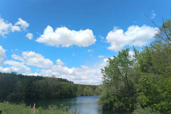
Number 8 Hollow Road
Number 8 Hollow will take you down another remote back road in this trail system. Once you enter the heavily wooded area, which is very scenic and winds through a loose gravel road through old farms, swamps, and plenty of spots to hike and explore. You will make your way down this remote road that l...
Learn more about Number 8 Hollow Road
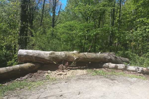
Township Highway NR2
Tucked deep into the hardwood forest is one of the lesser-known back roads of this trail system. You start at a fork in the road that will lead you down a very quiet gravel road that will dead-end. With nothing else around but the echoes of the past that once took place in these deep woods. There a...
Learn more about Township Highway NR2
Township Highway NR1
This is a quiet rural back road that winds through the rolling hills and hardwood forest. It's full of coal mining history that once took place deep into the woods of Perry County. It is part of a trail system for ATVs and dirt bikes, so please be careful to watch for others also enjoying the beauti...
Learn more about Township Highway NR1
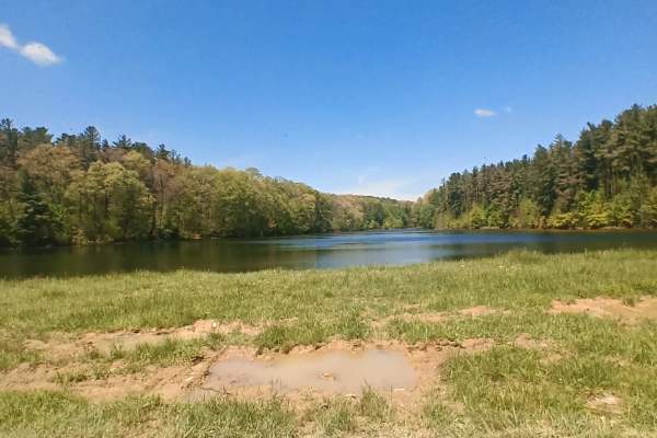
Essington Lake
Township Highway NR3 is a rugged backcountry access road. Once you enter the road, it's like time changes, and you see a piece of history that many don't. This trail takes you through some of the thickest and most overgrown forests in Perry County. It has swamps, ruts, and some soft ground. Essingt...
Learn more about Essington Lake
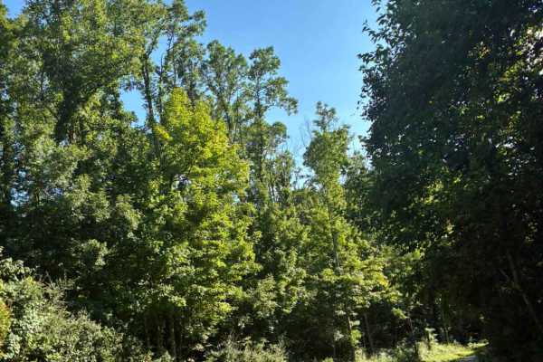
Town Highway 323
Town Highway 323 splits off from another trail and continues up steep, sharp gravel curves. This easy back road travels deep into an overgrown forest, with history from the coal mining days buried all around. Once the road reaches the top, it becomes hilly and feels like a roller coaster.
Learn more about Town Highway 323
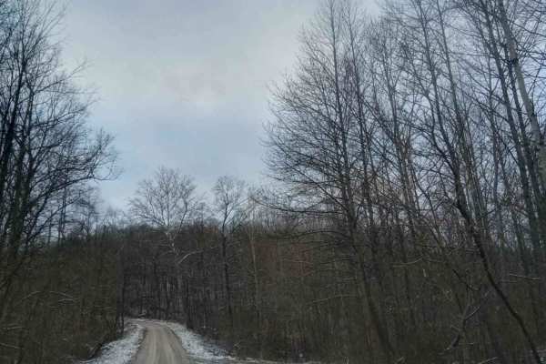
Tunnel Hill
If you are looking for a quick adventure down a country road, this is one of many in the area. This route will take you out and through the woods, where you will see wildlife everywhere. There will be many sharp curves and steep hills even though it is an easy route, it does get slick in bad weather...
Learn more about Tunnel Hill
Beginner ATV trails near Iberia, Ohio
Explore ATV-friendly trails near you. These trails are accessible for vehicles up to 50 inches wide, perfect for ATVs and smaller off-road machines.
Tunnel Hill
If you are looking for a quick adventure down a country road, this is one of many in the area. This route will take you out and through the woods, where you will see wildlife everywhere. There will be many sharp curves and steep hills even though it is an easy route, it does get slick in bad weather...
Learn more about Tunnel Hill
Beginner UTV/side-by-side trails near Iberia, Ohio
Find UTV and side-by-side trails near you. These trails accommodate vehicles up to 60 inches wide, ideal for UTVs, side-by-sides, and wider off-road rigs.
Tunnel Hill
If you are looking for a quick adventure down a country road, this is one of many in the area. This route will take you out and through the woods, where you will see wildlife everywhere. There will be many sharp curves and steep hills even though it is an easy route, it does get slick in bad weather...
Learn more about Tunnel Hill
The onX Offroad Difference
onX Offroad combines trail photos, descriptions, difficulty ratings, width restrictions, seasonality, and more in a user-friendly interface. Available on all devices, with offline access and full compatibility with CarPlay and Android Auto. Discover what you're missing today!
Open Trail Map