
Beginner Off-Road Trails
Near Hauser, Idaho
Explore All Beginner Trails Near Hauser, Idaho
Beginner Off-Road Trails Near Hauser, Idaho
Discover the best beginner-friendly off-road trails near you. These easier, lower-rated trails are a great place to start — browse trail maps, check difficulty ratings, and find your next adventure.
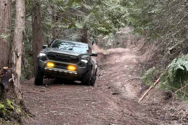
Temple Road
Either end of this trail starts as a two-lane forest road. The middle section is where this trail gets its rating. The middle section is single lane, moderately steep, and has rain washes and ruts up to two feet deep. The middle section of this trail is very tight with few places to pass, and even f...
Learn more about Temple Road
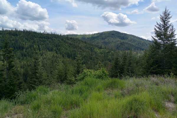
Thompson Creek
This route is on Inland Empire Paper (IEP) land through the Thompson Creek Gate. This is more or less the main road through this area. There are multiple places to pull over or turn around along the way. This route begins at the IEP gate and heads north for about 3 miles on Snake Trail Road. It then...
Learn more about Thompson Creek
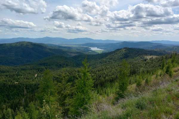
Round Top Mountain Loop
This loop is mostly narrow, single-lane roads with limited places to pull over or turn around, but you will be rewarded with some great views at the top of Round Top Mountain. It is drivable in a full width 4x4 but you will have branches rubbing both sides of your vehicle at times. The west side is...
Learn more about Round Top Mountain Loop
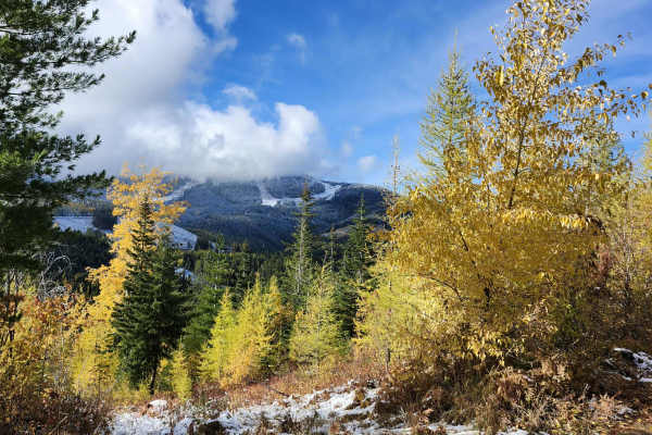
Lower Tripps
This route is an alternate path from the main route, "Mt Spokane via IEP Backroads". Lower Tripps runs parallel to Upper Tripps for about 3.6 miles from Junction 6 to Junction 11. These roads are typically maintained in summer and have clear road signs and maps along the way. Cell service is intermi...
Learn more about Lower Tripps
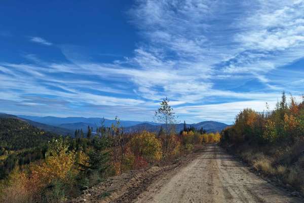
Mica Road & Upper Outer Limits
This route combines Mica Road & Upper Outer Limits to form an alternate side path from the main road "Mt Spokane via IEP Backroads". Starting at Junction 9 and heading east, you'll take Mica Road for around 2 miles until you hit Junction 8. From there you can continue on Upper Outer Limits for clos...
Learn more about Mica Road & Upper Outer Limits
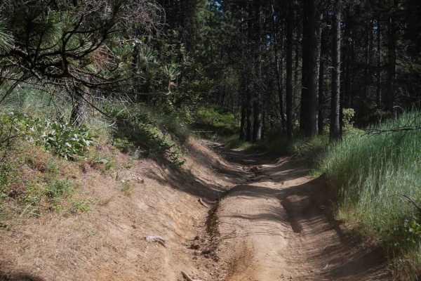
Easy Going
This trail is a 1-mile easy OHV route that runs north to south through the center of the ORV park. It travels through a mix of grassy meadows and pine forest, with a wide and open layout that narrows slightly in places but remains suitable for ATVs. The trail is dry and dusty with light rutting alon...
Learn more about Easy Going
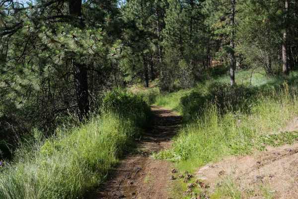
Straight Shot
This is a gradual and easy ATV route running north from the southern boundary of the ORV park. It begins as a wide, dry, and dusty path that traverses grassy slopes and sparse pine forest, maintaining a fairly straight and level course with only minor elevation changes. The trail is well-suited for ...
Learn more about Straight Shot
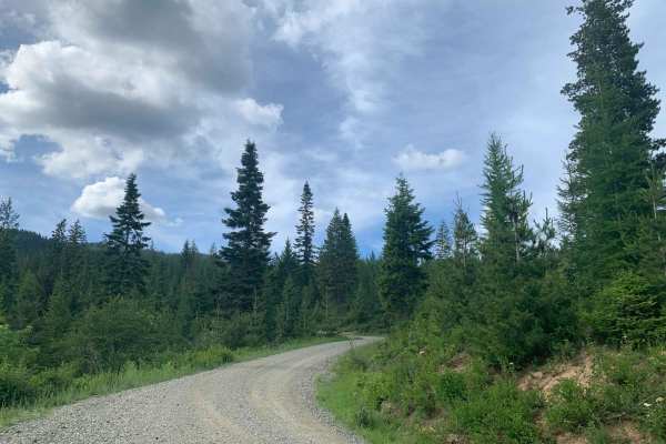
Brickel Creek Road
This road travels east/west through Inland Empire Paper's Brickel Creek Gate and connects to multiple other trails. The road is normally in decent shape with just a few ruts and washouts along the way. Mud or snow conditions may add to the difficulty level in spring and fall. This is a popular ar...
Learn more about Brickel Creek Road
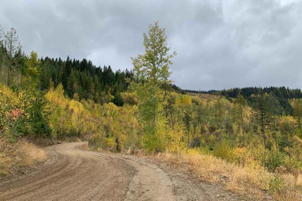
Mt Spokane via IEP Backroads
This route goes from Spirit Lake, ID to the top of Mt Spokane via Inland Empire Paper logging roads and Mt Spokane Nordic Trails. Starting from Brickel Creek Road (via IEP Brickel Creek Gate), to Idaho Road (M8), to Mica Road (M17), to Linder Ridge Road, through the IEP Mt. Spokane Gate and ending i...
Learn more about Mt Spokane via IEP Backroads
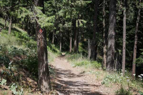
Canfield Mountain - Trail A (West)
This 2.8-mile-long dirt bike trail leaves from the west end from the bottom of Trail 1 and is much easier than Trail 1. It goes along a shelf of a hillside, on an easy single track that is not too narrow and a bit wider in spots. Then it goes along an open hillside with scattered pine trees. It's mo...
Learn more about Canfield Mountain - Trail A (West)
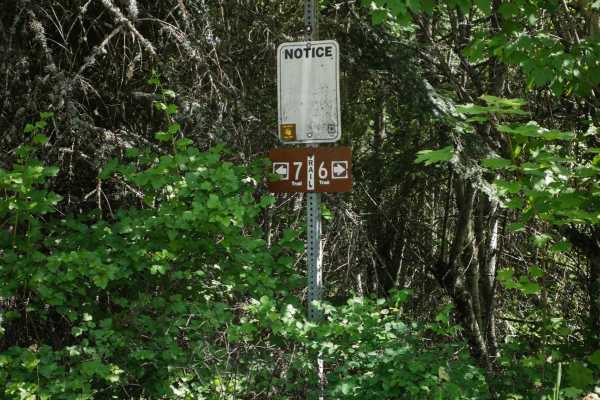
Canfield Mountain- Trail 6
Trail 6 in the Canfield Trail System is a short connector trail between the D and A singletracks. This one is 1.3 miles long and very easy. The north end goes past a gate, then starts out like a shelf on the side of a mountain, but is wide. It's more like an old road in the beginning. It's pretty sm...
Learn more about Canfield Mountain- Trail 6
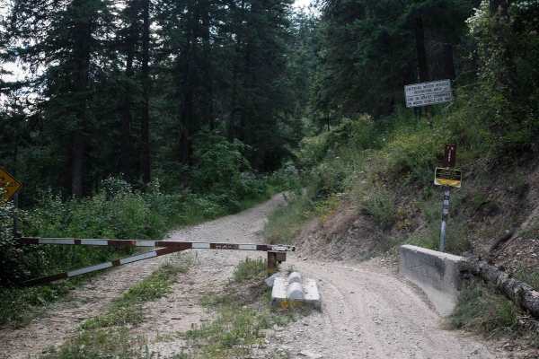
Canfield OHV
This is an easy two-track open to vehicles less than 50". It leaves from the parking area on Nettleman Road and goes through a gate. It's an old repurposed road now used by ATVs. The trail is a wide gravel flat path, with a gradual incline as you go north. It has lots of curves through the pine tree...
Learn more about Canfield OHV

Canfield Mountain - Trail B
Trail B is an easy single track in the Canfield Trail System, although long and windy. From the west end, it starts as a narrow single track through trees and bushes. It's smooth and easy in the beginning but it does have a few mud puddles. The trail traverses along the side of a mountain, almost li...
Learn more about Canfield Mountain - Trail B
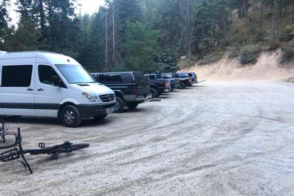
Penn Trail, Cave Trail Loop
These are single track trails that are part of the Canfield trail system. Penn is a one-way up trail and Cave is a one-way down trail. Penn is a sustained climb that is mostly smooth, but does have some ruts and whoops. Cave has small jumps which can be aired out or easily rolled over. Due to being ...
Learn more about Penn Trail, Cave Trail Loop
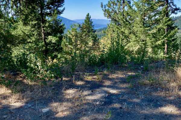
CDA-Hayden Lake View Route
Looking to check out the entire Rathdrum Prairie area? This is a great, scenic route featuring excellent views of the towns of Coeur d'Alene, Hayden, Athol, Rathdrum, and out to Post Falls. You also are treated to excellent vistas of Hayden Lake and the surrounding mountains. If you're new to the ar...
Learn more about CDA-Hayden Lake View Route
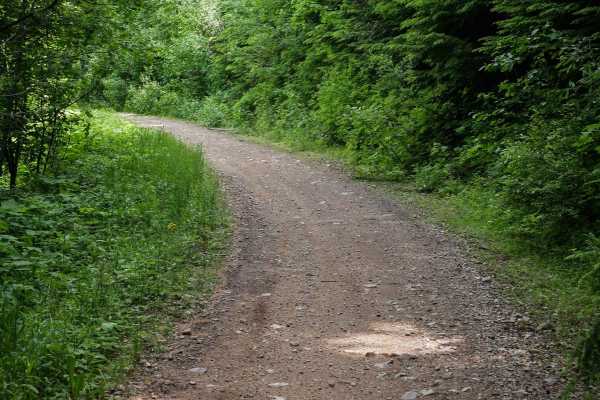
South Canfield OHV
1562 is the main thoroughfare for ATVs through the Canfield Trail System that goes all the way East to West along the north end of the trail system. This is a 3.4-mile-long segment of the ATV trail that is easy with no obstacles and is probably used mostly by dirt bikers and mountain bikers to acces...
Learn more about South Canfield OHV
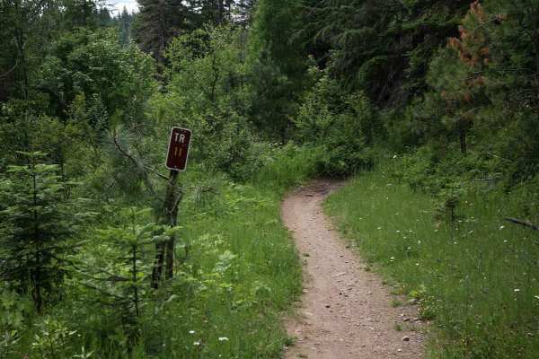
Canfield Mountain- Trail 11
This is a wide and easy dirt bike trail in the Coeur d'Alene National Forest. It's fast and flowy and goes underneath a bunch of trees like through a tunnel. It's a smooth dirt surface with little pieces of gravel and rock on the surface. It goes through a lush forest of ferns and pine trees, and yo...
Learn more about Canfield Mountain- Trail 11
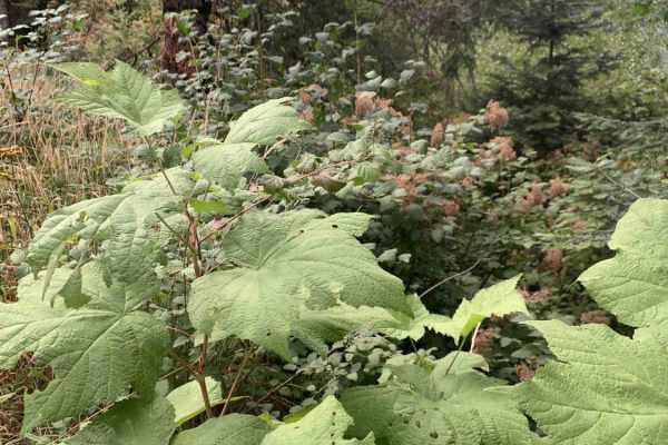
Horse Ridge Trail
Most of this trail is on a paved twisty road leading up into the Panhandle National Forest. The pavement ends at the top of the hill and spiderwebs into several dirt trails. Horse Ridge Trail is the furthest left at the top. It runs back along the ridge just above the paved section of the trail. ...
Learn more about Horse Ridge Trail
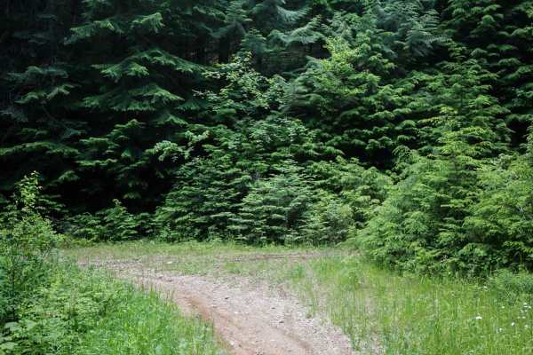
Canfield Mountain - Trail A (East)
This 5.6-mile segment of Trail A is a long and windy single track in the Canfield Trail System. It's wide and smooth coming from the east end. It has narrower sections later with more pieces of rock in the trail. It goes along a shelf, winding along the side of the mountain. It's like an old shelf r...
Learn more about Canfield Mountain - Trail A (East)
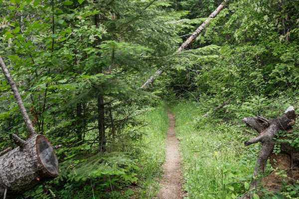
1562N
This short single track starts at the intersection with dirt bike trails 1562 and Trail A. It begins as a narrow single track through the pine trees. The trail goes on what looks like an old shelf road, following the edge of a mountain that has, over time, become overgrown and turned into a single t...
Learn more about 1562N
Beginner ATV trails near Hauser, Idaho
Explore ATV-friendly trails near you. These trails are accessible for vehicles up to 50 inches wide, perfect for ATVs and smaller off-road machines.
Temple Road
Either end of this trail starts as a two-lane forest road. The middle section is where this trail gets its rating. The middle section is single lane, moderately steep, and has rain washes and ruts up to two feet deep. The middle section of this trail is very tight with few places to pass, and even f...
Learn more about Temple Road
Thompson Creek
This route is on Inland Empire Paper (IEP) land through the Thompson Creek Gate. This is more or less the main road through this area. There are multiple places to pull over or turn around along the way. This route begins at the IEP gate and heads north for about 3 miles on Snake Trail Road. It then...
Learn more about Thompson Creek
Round Top Mountain Loop
This loop is mostly narrow, single-lane roads with limited places to pull over or turn around, but you will be rewarded with some great views at the top of Round Top Mountain. It is drivable in a full width 4x4 but you will have branches rubbing both sides of your vehicle at times. The west side is...
Learn more about Round Top Mountain Loop
Lower Tripps
This route is an alternate path from the main route, "Mt Spokane via IEP Backroads". Lower Tripps runs parallel to Upper Tripps for about 3.6 miles from Junction 6 to Junction 11. These roads are typically maintained in summer and have clear road signs and maps along the way. Cell service is intermi...
Learn more about Lower Tripps
Beginner UTV/side-by-side trails near Hauser, Idaho
Find UTV and side-by-side trails near you. These trails accommodate vehicles up to 60 inches wide, ideal for UTVs, side-by-sides, and wider off-road rigs.
Temple Road
Either end of this trail starts as a two-lane forest road. The middle section is where this trail gets its rating. The middle section is single lane, moderately steep, and has rain washes and ruts up to two feet deep. The middle section of this trail is very tight with few places to pass, and even f...
Learn more about Temple Road
Thompson Creek
This route is on Inland Empire Paper (IEP) land through the Thompson Creek Gate. This is more or less the main road through this area. There are multiple places to pull over or turn around along the way. This route begins at the IEP gate and heads north for about 3 miles on Snake Trail Road. It then...
Learn more about Thompson Creek
Round Top Mountain Loop
This loop is mostly narrow, single-lane roads with limited places to pull over or turn around, but you will be rewarded with some great views at the top of Round Top Mountain. It is drivable in a full width 4x4 but you will have branches rubbing both sides of your vehicle at times. The west side is...
Learn more about Round Top Mountain Loop
Lower Tripps
This route is an alternate path from the main route, "Mt Spokane via IEP Backroads". Lower Tripps runs parallel to Upper Tripps for about 3.6 miles from Junction 6 to Junction 11. These roads are typically maintained in summer and have clear road signs and maps along the way. Cell service is intermi...
Learn more about Lower Tripps
The onX Offroad Difference
onX Offroad combines trail photos, descriptions, difficulty ratings, width restrictions, seasonality, and more in a user-friendly interface. Available on all devices, with offline access and full compatibility with CarPlay and Android Auto. Discover what you're missing today!
Open Trail Map