
Beginner Off-Road Trails
Near Hatley, Mississippi
Explore All Beginner Trails Near Hatley, Mississippi
Beginner Off-Road Trails Near Hatley, Mississippi
Discover the best beginner-friendly off-road trails near you. These easier, lower-rated trails are a great place to start — browse trail maps, check difficulty ratings, and find your next adventure.

Black Cat Bottom
Black Cat Bottom is an easy-going, 3.8-mile off-road trail near Aberdeen, Mississippi, that is perfect for beginners and scenic cruisers looking for a relaxing drive through lush southern woodlands. Starting off State Highway 6, this flat route features a primarily dirt and gravel surface with a min...
Learn more about Black Cat Bottom
The Gutter
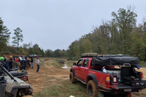
The Gutter is a 1.3-mile off-road loop within the Barnyard Mud Boggers (BMB) Offroad Park near Fulton, Mississippi. Serving as an introduction to the 700-acre park, the trail winds through a dense hardwood forest with mild elevation changes between 290 and 402 feet, connecting with various other tra...
Learn more about The Gutter
Witch Dance Hill
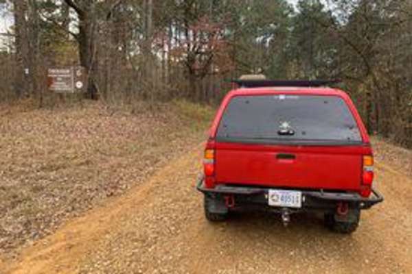
Witch Dance Hill is a scenic, 4.6-mile gravel drive through the Tombigbee National Forest in Mississippi. The well-maintained, flat gravel surface is rated 1 for technical difficulty, making it fully accessible to standard two-wheel-drive vehicles under normal conditions. Winding eastward from Count...
Learn more about Witch Dance Hill
Turkey Creek Road
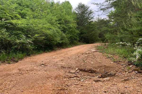
Turkey Creek Road is an ideal route for beginner offroaders and scenic drivers looking to escape into a dense, picturesque Alabama forest filled with opportunities for wildlife viewing and photography. Stretching roughly 2.3 miles along the Marion County border, this public unmaintained road offers ...
Learn more about Turkey Creek Road
Meadow Creek Road
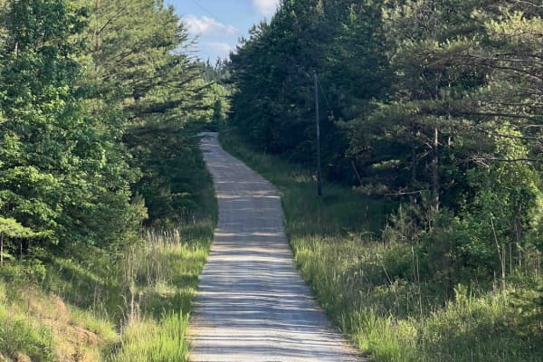
Meadow Creek Road or Winston County 357 is a maintained public gravel road running North from Highway 278 through Pine Timber Forestlands to Yankee Trace Road just before Highway 13. Meadow Creek Road offers an easy drive with ample opportunity for wildlife viewing as well as great views of the surr...
Learn more about Meadow Creek Road
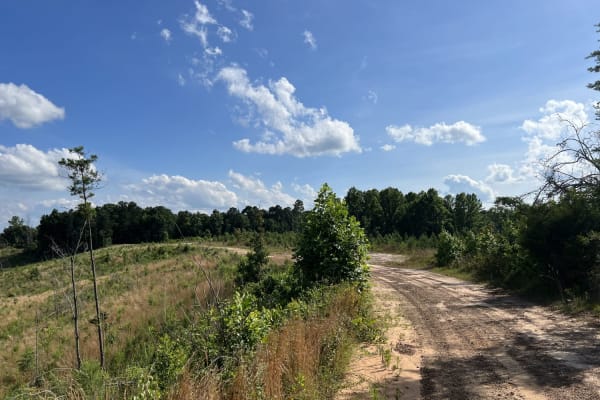
Fork Creek Road
Fork Creek Road or Winston County 440 is a public, mostly unmaintained gravel and dirt road. Surrounded by Timber Company Land, Fork Creek Road offers spectacular views of the surrounding area and some slightly technical obstacles, depending on season and maintenance. Road conditions can increase in...
Learn more about Fork Creek Road
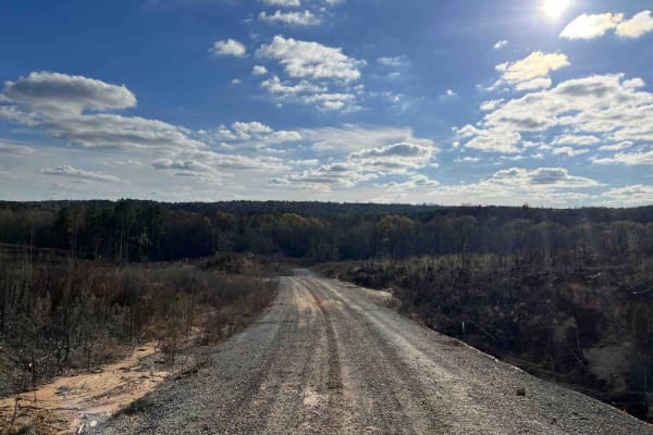
CR339
County Road 339 is a somewhat maintained public gravel road that offers great views of the surrounding area for those looking to get off the beaten path. Running from Alabama Highway 5 east to Rocky Plains Road, CR339 winds through prime Alabama Forestland, into creek bottoms, and along ridgetops. R...
Learn more about CR339

Rattlesnake Green Trail
This is a great beginners' trail. It has just about all types of obstacles but they are perfect for first-time off-roaders or those just learning. It is stock friendly and has many beautiful areas along the trail to stop and see. Many places along this trail show newer off-roaders just how capable t...
Learn more about Rattlesnake Green Trail
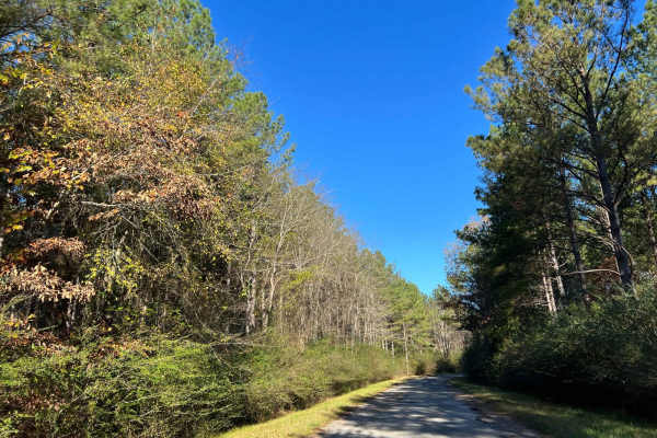
Bylor RD - FS 203
Starting at FS203, this scenic route transitions from pavement to gravel, leading you deep into the heart of the Bankhead National Forest. Along the way, it passes the historic Kinlock Lookout on Bylor Road, a notable landmark in the area. Forest Service Road 203 is a well-maintained two-track trail...
Learn more about Bylor RD - FS 203
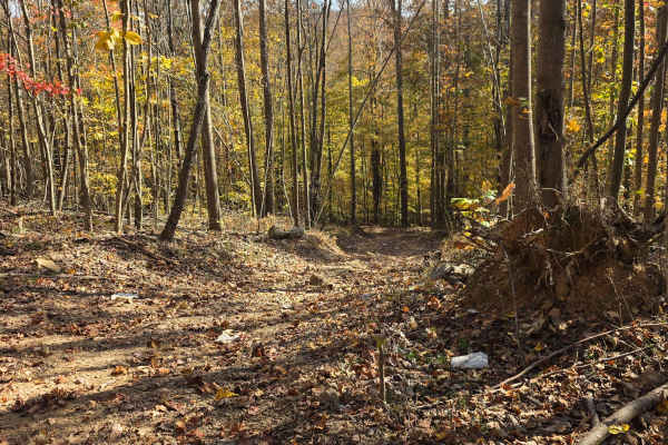
Hot Wheels
Hot Wheels is an easy riding trail that loops around High Point Hill, giving access to a plethora of other trails. The start of the trail is a dirt-filled wood line and passes through a large clearing of DJ Flake. Once through the intersection, it will close in with dense brush and forest. The loop ...
Learn more about Hot Wheels
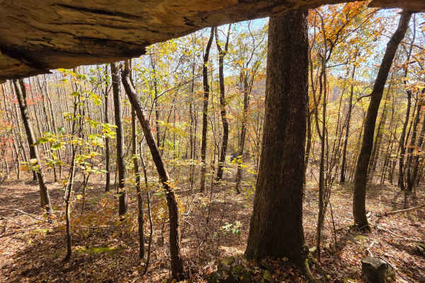
3 Caves
Grab your hard hats and flashlights! This mountainside erosion wonder features a rock face with 3 distinct holes that are elevated off the ground. The trail up to 3 caves can start out as a very short grade climb to a flat, smooth dirt trail with mud holes scattered throughout. The pull-off to the c...
Learn more about 3 Caves
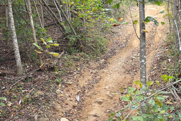
Cul-De-Sak
Do you remember the great hide out spot in the back of the neighborhood when you were a kid? That is the great feeling of being at the back of the Cul-De-Sak. It is the loop around spot at the back of the park that turns you around on the Main Road to head back. There is not much to see on this acce...
Learn more about Cul-De-Sak
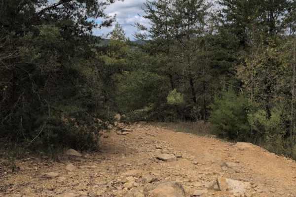
#38 Brokefoot Viewing Trail
Trail #38, Brokefoot Viewing Trail, is a relatively easy rocky trail with a few washouts along the way. It splits off from #90 Abbie's Trail and then reconnects after about 400 yards. Its primary purpose is to allow viewing of all the various obstacles on #40 Brokefoot. It also allows for direct acc...
Learn more about #38 Brokefoot Viewing Trail
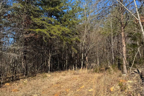
#59 Belt Line
This trail is a very short connector between trails #92 and #91. This trail can be very muddy if it rains and has no major obstacles. Very rarely is there traffic on this trail, so it has become overgrown over time. The trail is also in a very flat part of the park.
Learn more about #59 Belt Line
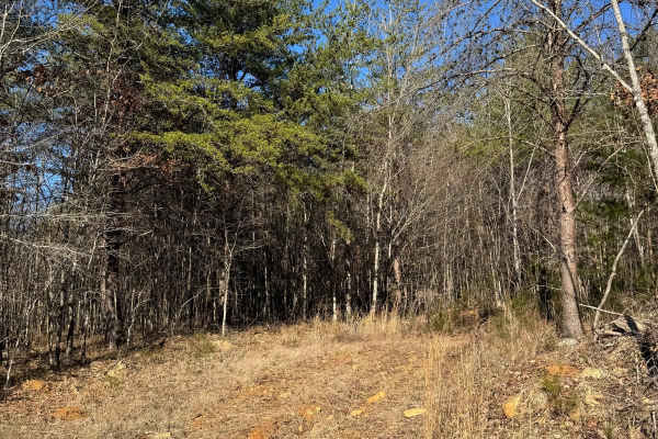
#59 BeltLine
This is a short connector between trails #92 and #91. Low traffic has led to overgrowth, making the trail narrow and enclosed. Dense trees on both sides prevent any passing. Despite the tight conditions, the trail is quick to finish and serves as a direct link between the two routes.
Learn more about #59 BeltLine
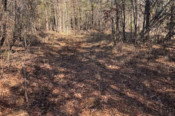
#60 Opryland Mills
This short trail connects trails #92 and #91. It is lightly used, leading to overgrowth and limited visibility. The trees are tight on both sides, leaving no room for passing. Due to its brief length, it can be completed quickly, however, you will need careful navigation to not get scratches.
Learn more about #60 Opryland Mills
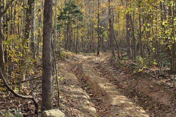
Cave Hollow Road
Cave Hollow Road is the access road to take you to 3 Caves trail. It is a gradual uphill climb in two sections. The first section features deeper ruts than the upper section, while the upper section features more vegetation overgrowth. In the middle between the two sections you will run a small port...
Learn more about Cave Hollow Road
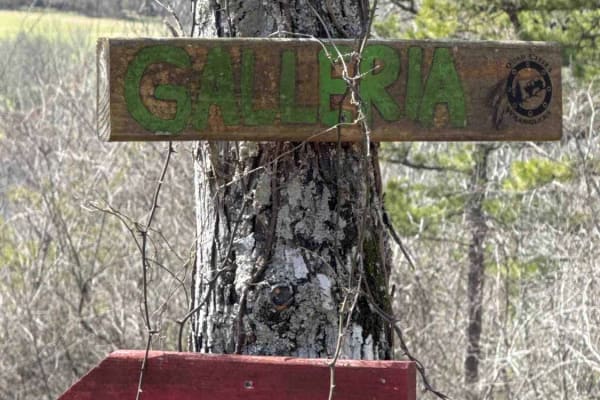
#46 Galleria
Trail #46, Galleria, offers an accessible and enjoyable experience for all vehicles. Expect a generally smooth dirt surface interspersed with small, easily navigable rocks. A notable feature is a washout that parallels much of the trail, adding a touch of ruggedness. Be aware that conditions can bec...
Learn more about #46 Galleria
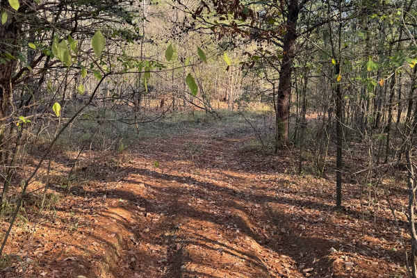
#61 Bridge Street
Bridge Street Is a short connector trail in between trails #91 and #92, it is mostly flat and wooded with dirt and pine straw covering the ground. This trail is infrequently used so it can sometimes be grown up and rutted out. The trail itself does not have any major obstacles on it.
Learn more about #61 Bridge Street
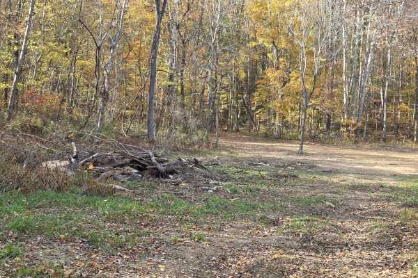
Green Bean
Green Bean is a trail for the sprouts. This is a great trail that bobs and weaves through the lowlands of Northwest Alabama Ride Park and has a small hill climb in a good, controlled environment. This trail also gets the younger riders off the main trails that others tend to speed through. The top o...
Learn more about Green Bean
Beginner ATV trails near Hatley, Mississippi
Explore ATV-friendly trails near you. These trails are accessible for vehicles up to 50 inches wide, perfect for ATVs and smaller off-road machines.
The Gutter
The Gutter is a 1.3-mile off-road loop within the Barnyard Mud Boggers (BMB) Offroad Park near Fulton, Mississippi. Serving as an introduction to the 700-acre park, the trail winds through a dense hardwood forest with mild elevation changes between 290 and 402 feet, connecting with various other tra...
Learn more about The Gutter
Witch Dance Hill
Witch Dance Hill is a scenic, 4.6-mile gravel drive through the Tombigbee National Forest in Mississippi. The well-maintained, flat gravel surface is rated 1 for technical difficulty, making it fully accessible to standard two-wheel-drive vehicles under normal conditions. Winding eastward from Count...
Learn more about Witch Dance Hill
Meadow Creek Road
Meadow Creek Road or Winston County 357 is a maintained public gravel road running North from Highway 278 through Pine Timber Forestlands to Yankee Trace Road just before Highway 13. Meadow Creek Road offers an easy drive with ample opportunity for wildlife viewing as well as great views of the surr...
Learn more about Meadow Creek Road
CR339
County Road 339 is a somewhat maintained public gravel road that offers great views of the surrounding area for those looking to get off the beaten path. Running from Alabama Highway 5 east to Rocky Plains Road, CR339 winds through prime Alabama Forestland, into creek bottoms, and along ridgetops. R...
Learn more about CR339
Beginner UTV/side-by-side trails near Hatley, Mississippi
Find UTV and side-by-side trails near you. These trails accommodate vehicles up to 60 inches wide, ideal for UTVs, side-by-sides, and wider off-road rigs.
Meadow Creek Road
Meadow Creek Road or Winston County 357 is a maintained public gravel road running North from Highway 278 through Pine Timber Forestlands to Yankee Trace Road just before Highway 13. Meadow Creek Road offers an easy drive with ample opportunity for wildlife viewing as well as great views of the surr...
Learn more about Meadow Creek Road
CR339
County Road 339 is a somewhat maintained public gravel road that offers great views of the surrounding area for those looking to get off the beaten path. Running from Alabama Highway 5 east to Rocky Plains Road, CR339 winds through prime Alabama Forestland, into creek bottoms, and along ridgetops. R...
Learn more about CR339
Bylor RD - FS 203
Starting at FS203, this scenic route transitions from pavement to gravel, leading you deep into the heart of the Bankhead National Forest. Along the way, it passes the historic Kinlock Lookout on Bylor Road, a notable landmark in the area. Forest Service Road 203 is a well-maintained two-track trail...
Learn more about Bylor RD - FS 203
Hot Wheels
Hot Wheels is an easy riding trail that loops around High Point Hill, giving access to a plethora of other trails. The start of the trail is a dirt-filled wood line and passes through a large clearing of DJ Flake. Once through the intersection, it will close in with dense brush and forest. The loop ...
Learn more about Hot Wheels
The onX Offroad Difference
onX Offroad combines trail photos, descriptions, difficulty ratings, width restrictions, seasonality, and more in a user-friendly interface. Available on all devices, with offline access and full compatibility with CarPlay and Android Auto. Discover what you're missing today!
Open Trail Map