
Beginner Off-Road Trails
Near Hatfield, Wisconsin
Explore All Beginner Trails Near Hatfield, Wisconsin
Beginner Off-Road Trails Near Hatfield, Wisconsin
Discover the best beginner-friendly off-road trails near you. These easier, lower-rated trails are a great place to start — browse trail maps, check difficulty ratings, and find your next adventure.
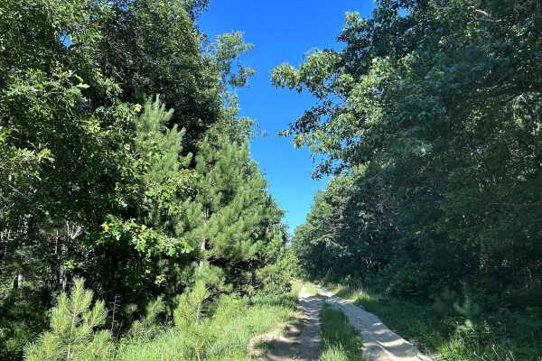
Bell Mound Trail
Bell Mound Trail is a scenic, stock-friendly forest route that winds through some of central Wisconsin’s classic pine and hardwood forests. The trail is primarily wide sandy two-track and graded forest roads with long stretches of packed sand, shallow ruts, and gentle curves. Most stock 4WD SUVs and...
Learn more about Bell Mound Trail
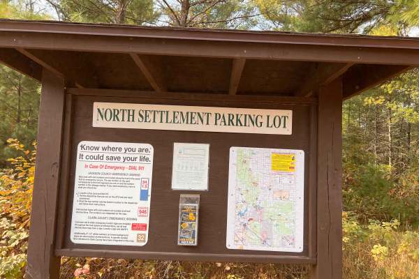
Wildcat Loop
The trail winds through wooded areas with mainly gravel and rocks and a mix of sand, offering a mix of natural beauty and light technical terrain.
It’s ideal for a quick loop or as part of a larger off-road outing in the Black River State Forest area. Also, a nice Parking area within miles of this l...
Learn more about Wildcat Loop
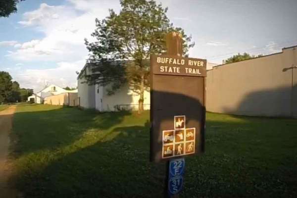
BRST: Fairchild to Osseo
BRST: Fairchild to Osseo is a 13.5-mile point-to-point trail rated 2 of 10 and runs through Eau Claire, Jackson, and Trempealeau counties. The trail consists of a combination of railroad ballast and limestone screenings that is fairly smooth and hard-packed and provides scenic views of surrounding f...
Learn more about BRST: Fairchild to Osseo
BRST: Osseo to Sturm
BRST: Osseo to Sturm is an 8.5-mile point-to-point trail rated 2 of 10 located in Trempealeau County. The trail consists of a combination of railroad ballast and limestone screenings that is fairly smooth and hard-packed and provides scenic views of surrounding farms, making it a good choice for nov...
Learn more about BRST: Osseo to Sturm
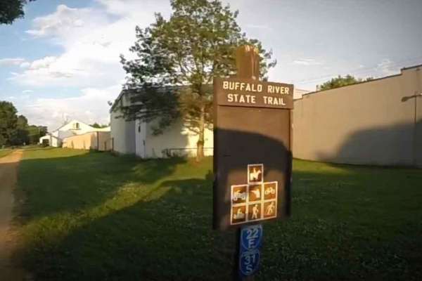
BRST: Sturm to Eleva
BRST: Sturm to Eleva is a 4.3-mile point-to-point trail rated 2 of 10 located in Trempealeau County. The trail consists of a combination of railroad ballast and limestone screenings that is fairly smooth and hard-packed and provides scenic views of surrounding farms, making it a good choice for novi...
Learn more about BRST: Sturm to Eleva
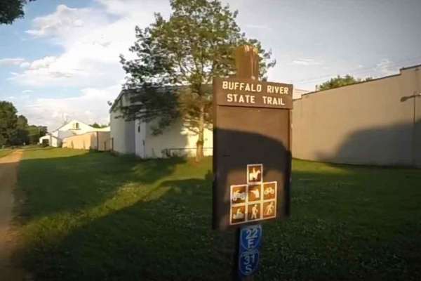
BRST: Eleva to Mondovi
BRST: Eleva to Mondovi is a 9.4-mile point-to-point trail rated 2 of 10 and runs through Trempealeau and Buffalo counties. The trail consists of a combination of railroad ballast and limestone screenings that is fairly smooth and hard-packed and provides scenic views of surrounding farms, making it ...
Learn more about BRST: Eleva to Mondovi
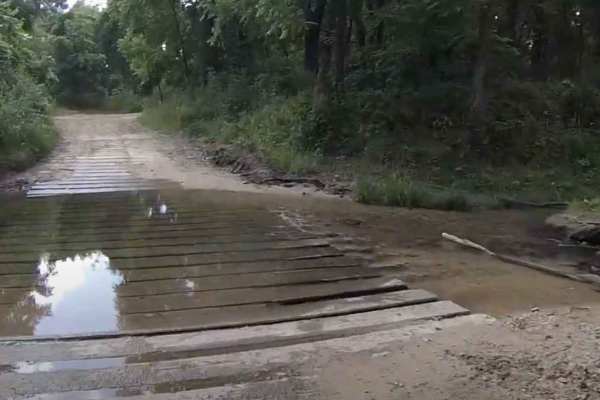
Trout Valley ATV Trail
The Trout Valley trail encompasses a total of 9 miles of trail in southeastern Minnesota within the Richard J. Dorer Memorial Hardwood State Forest. The primary trail is a one-way trail running counterclockwise. The trail from the parking area forms a small loop, which is bidirectional and leads to ...
Learn more about Trout Valley ATV Trail
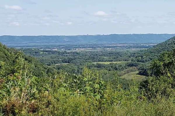
Snake Creek ATV Trails
The Snake Creek Trail network encompasses 13 miles of varying terrain and trail conditions that run through the Southeastern Minnesota bluff country. The majority of the external looping trail is considered a one-way track running clockwise. Riders need to ensure compliance with the trail direction ...
Learn more about Snake Creek ATV Trails
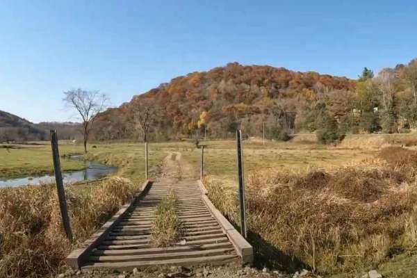
Southeast Minnesota Trail
This 13-mile trail connects the southeastern Minnesota communities of Stockton and Altura. The trail winds through a variety of terrain, ranging from rolling farmland to deep, forested ravines and valleys. Portions of the trail will travel across private property (remember to stay on the trail). The...
Learn more about Southeast Minnesota Trail
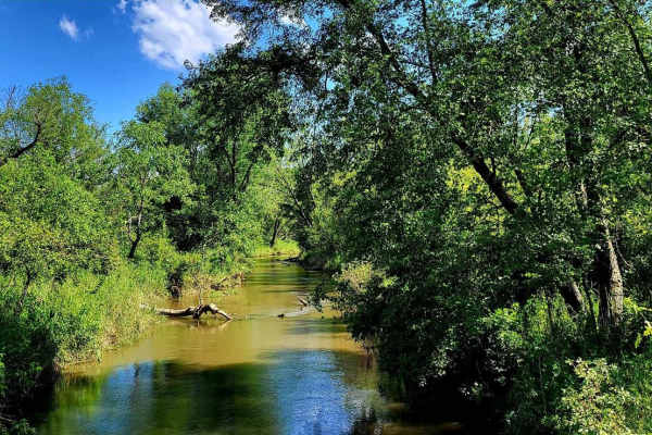
Sand Road Driftless Loop
A relaxing drive through the Driftless area north of Pepin, Wisconsin. There is nothing technical;this is a gravel county road drive with a few tar sections. You can take a hike at Five Mile Bluff Prairie State Natural Area. This trail would be extra beautiful in the fall and after a fresh snowstorm...
Learn more about Sand Road Driftless Loop
Beginner ATV trails near Hatfield, Wisconsin
Explore ATV-friendly trails near you. These trails are accessible for vehicles up to 50 inches wide, perfect for ATVs and smaller off-road machines.
Wildcat Loop
The trail winds through wooded areas with mainly gravel and rocks and a mix of sand, offering a mix of natural beauty and light technical terrain.
It’s ideal for a quick loop or as part of a larger off-road outing in the Black River State Forest area. Also, a nice Parking area within miles of this l...
Learn more about Wildcat Loop
BRST: Fairchild to Osseo
BRST: Fairchild to Osseo is a 13.5-mile point-to-point trail rated 2 of 10 and runs through Eau Claire, Jackson, and Trempealeau counties. The trail consists of a combination of railroad ballast and limestone screenings that is fairly smooth and hard-packed and provides scenic views of surrounding f...
Learn more about BRST: Fairchild to Osseo
BRST: Osseo to Sturm
BRST: Osseo to Sturm is an 8.5-mile point-to-point trail rated 2 of 10 located in Trempealeau County. The trail consists of a combination of railroad ballast and limestone screenings that is fairly smooth and hard-packed and provides scenic views of surrounding farms, making it a good choice for nov...
Learn more about BRST: Osseo to Sturm
BRST: Sturm to Eleva
BRST: Sturm to Eleva is a 4.3-mile point-to-point trail rated 2 of 10 located in Trempealeau County. The trail consists of a combination of railroad ballast and limestone screenings that is fairly smooth and hard-packed and provides scenic views of surrounding farms, making it a good choice for novi...
Learn more about BRST: Sturm to Eleva
Beginner UTV/side-by-side trails near Hatfield, Wisconsin
Find UTV and side-by-side trails near you. These trails accommodate vehicles up to 60 inches wide, ideal for UTVs, side-by-sides, and wider off-road rigs.
Wildcat Loop
The trail winds through wooded areas with mainly gravel and rocks and a mix of sand, offering a mix of natural beauty and light technical terrain.
It’s ideal for a quick loop or as part of a larger off-road outing in the Black River State Forest area. Also, a nice Parking area within miles of this l...
Learn more about Wildcat Loop
Trout Valley ATV Trail
The Trout Valley trail encompasses a total of 9 miles of trail in southeastern Minnesota within the Richard J. Dorer Memorial Hardwood State Forest. The primary trail is a one-way trail running counterclockwise. The trail from the parking area forms a small loop, which is bidirectional and leads to ...
Learn more about Trout Valley ATV Trail
Snake Creek ATV Trails
The Snake Creek Trail network encompasses 13 miles of varying terrain and trail conditions that run through the Southeastern Minnesota bluff country. The majority of the external looping trail is considered a one-way track running clockwise. Riders need to ensure compliance with the trail direction ...
Learn more about Snake Creek ATV Trails
Southeast Minnesota Trail
This 13-mile trail connects the southeastern Minnesota communities of Stockton and Altura. The trail winds through a variety of terrain, ranging from rolling farmland to deep, forested ravines and valleys. Portions of the trail will travel across private property (remember to stay on the trail). The...
Learn more about Southeast Minnesota Trail
The onX Offroad Difference
onX Offroad combines trail photos, descriptions, difficulty ratings, width restrictions, seasonality, and more in a user-friendly interface. Available on all devices, with offline access and full compatibility with CarPlay and Android Auto. Discover what you're missing today!
Open Trail Map